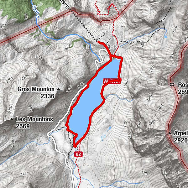
Bergstation Sanetsch – Stausee – Bergstation Sanetsch

Escursionismo

© Destination Gstaad - Destination Gstaad / Melanie Uhkoetter

© Destination Gstaad - Destination Gstaad / Yannick Romagnoli

© Destination Gstaad - Destination Gstaad / Yannick Romagnoli


- Descrizione rapida
-
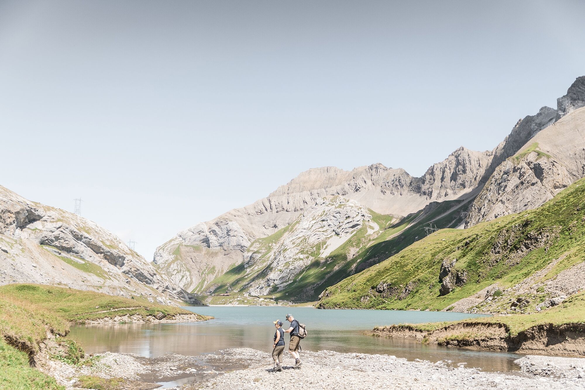
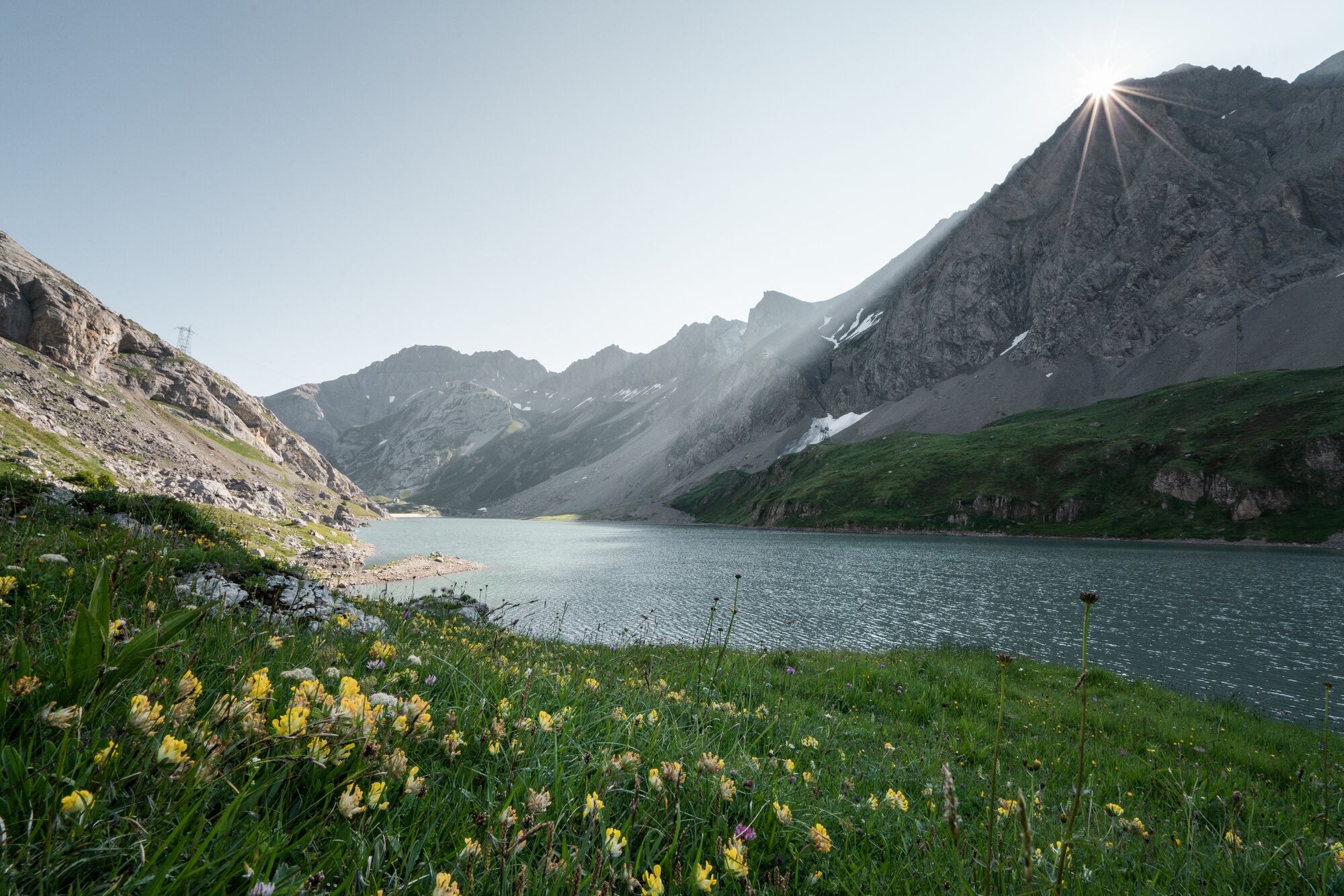
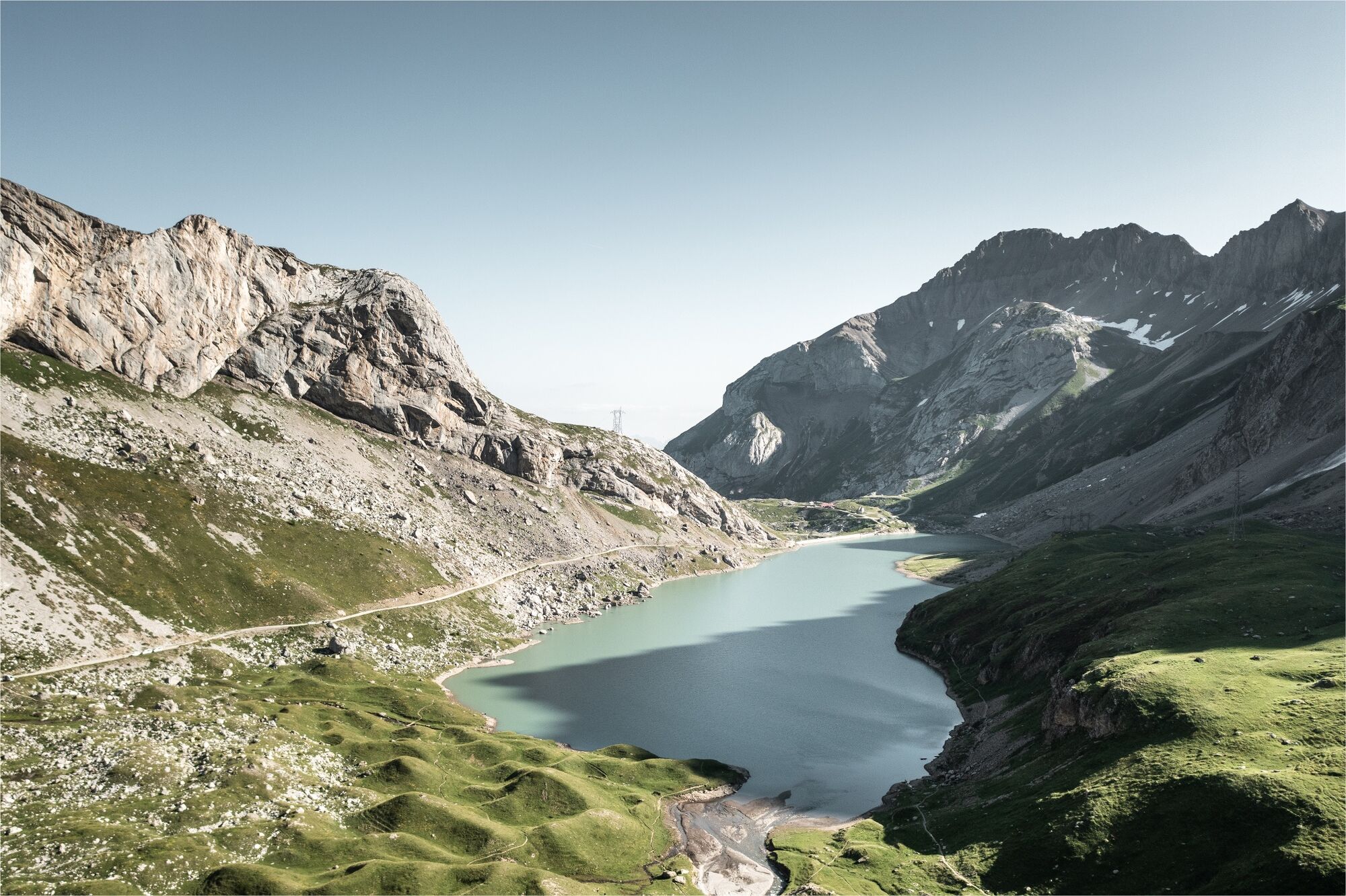
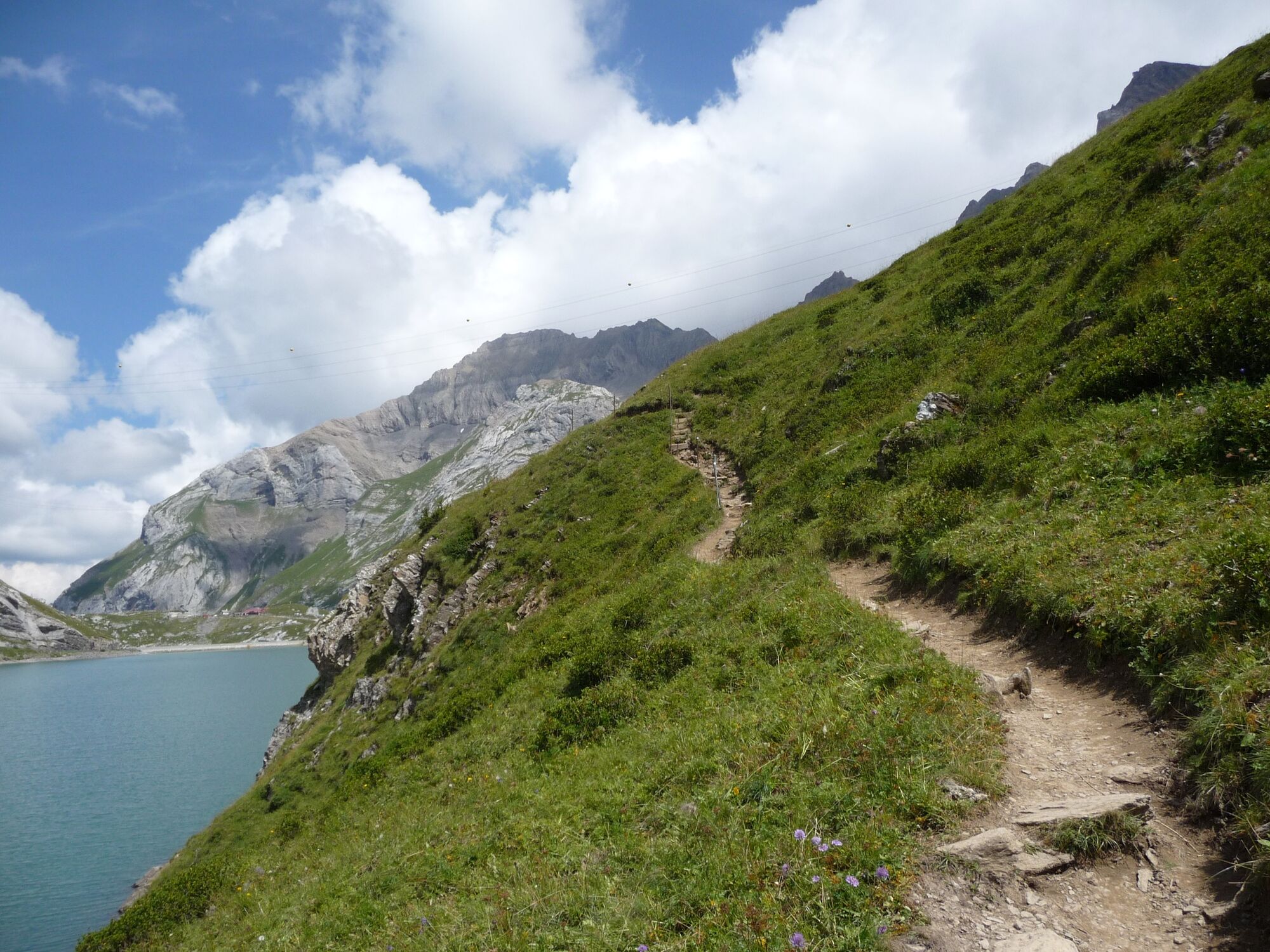
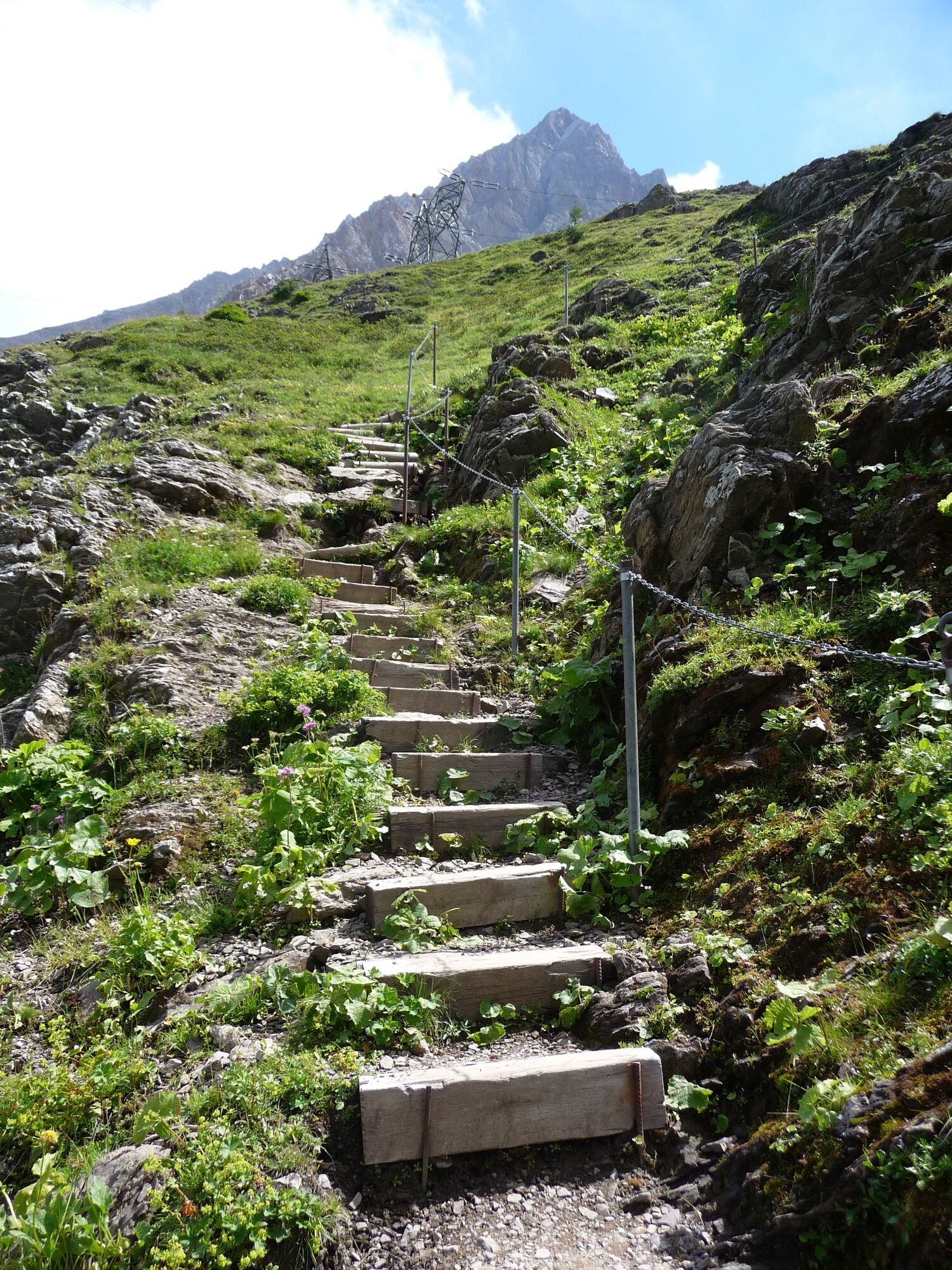
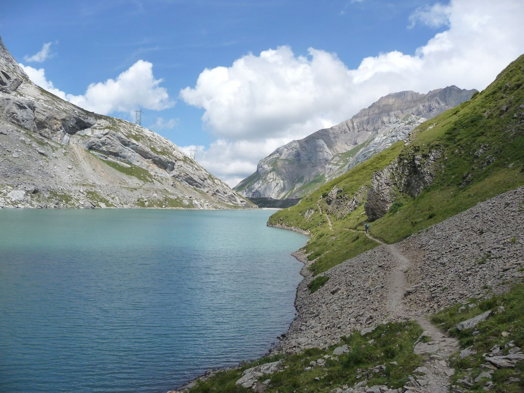
Hike in the varied, exceptional landscape around the Sanetsch lake. Especially in autumn, the region on the border with Valais is a colorful feast for the eyes.
- Difficoltà
-
intermedio
- Valutazione
-
- Percorso
-
Auberge du Barrage du Sanetsch0,1 kmAuberge du Barrage du Sanetsch3,8 km
- La stagione migliore
-
genfebmaraprmaggiulugagosetottnovdic
- Punto più alto
- 2.059 m
- Destinazione
-
Cable car station Sanetsch
- Profilo altimetrico
-
 © outdooractive.com
-

-
AutoreIl tour Bergstation Sanetsch – Stausee – Bergstation Sanetsch è utilizzato da outdooractive.com fornito.
GPS Downloads


Info generali
Punto di ristoro
Altri tour nelle regioni
-
Thyon les Collons
1435
-
Destination Gstaad
742
-
Gsteig bei Gstaad
170


