
Dati percorsi
4km
1.307
- 2.104m
797hm
03:15h
- Descrizione rapida
-
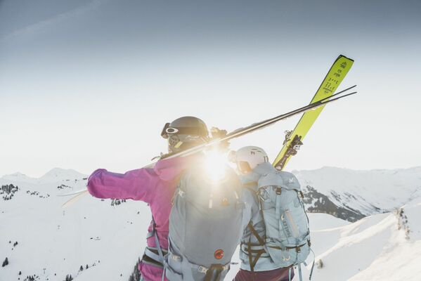
Demanding tour up to the top of Villars: the Grand Chamossaire
- Difficoltà
-
intermedio
- Valutazione
-
- Punto di partenza
-
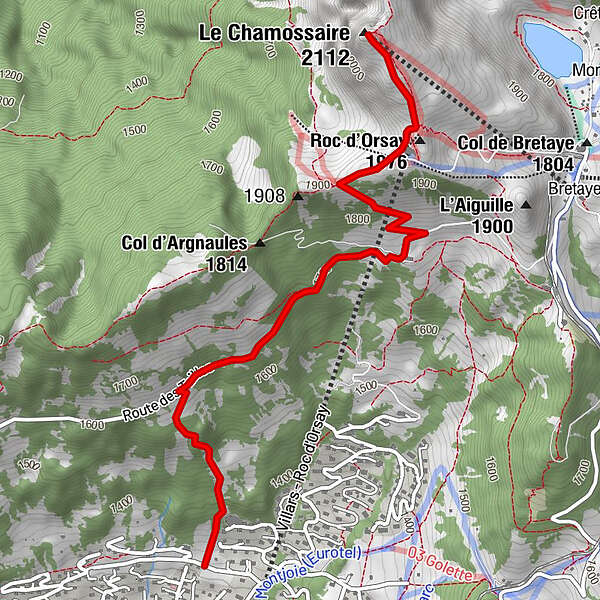
From the Roc d'Orsay cable car, you have 10 to 15 minutes walk to reach the start of this itinerary.
When you face the gondola, you follow the Route des Layeux which starts on the left. At the crossroads, you go up on the road to Champex. At the next crossroads, you take the route des Margueronnes on the left. The departure is located on your right after a few hundred meters.
- Percorso
-
Roc d'Orsay (1.976 m)3,4 kmGrand Chamossaire3,9 kmLe Chamossaire (2.112 m)3,9 km
- La stagione migliore
-
agosetottnovdicgenfebmaraprmaggiulug
- Punto più alto
- Grand Chamossaire (2.104 m)

- Fonte
- PJ
GPS Downloads


Altri tour nelle regioni