
© NIVEA Wandertour/Randonnées NIVEA - Schweizer Wanderwege/Suisse Rando

© NIVEA Wandertour/Randonnées NIVEA - Schweizer Wanderwege/Suisse Rando

© NIVEA Wandertour/Randonnées NIVEA - Schweizer Wanderwege/Suisse Rando

- Descrizione rapida
-
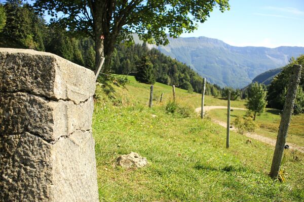
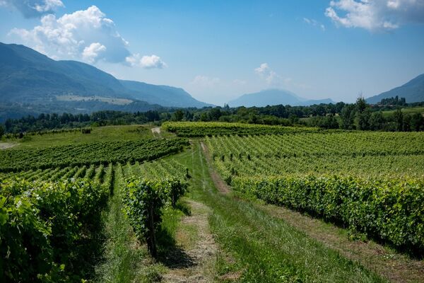
Im Wilden Westen der Schweiz
- Difficoltà
-
facile
- Valutazione
-
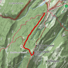
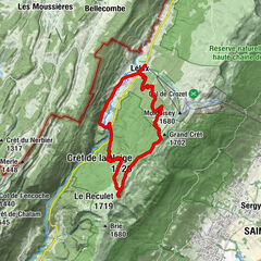
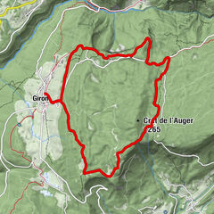
- Percorso
-
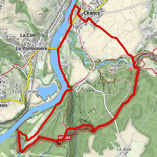
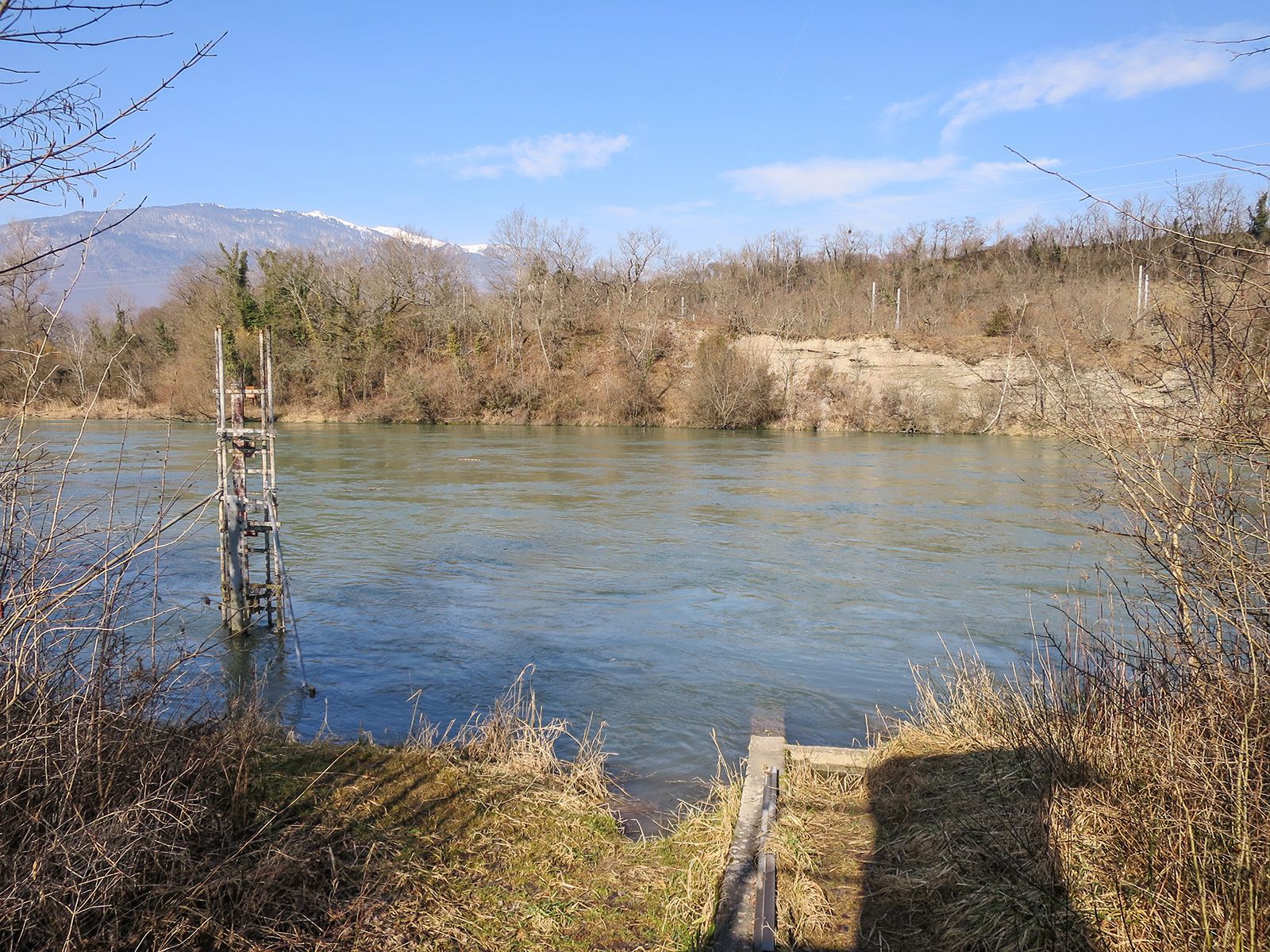
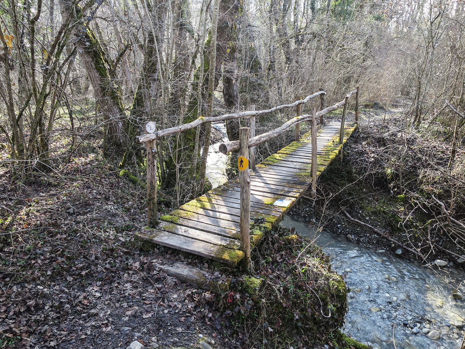
Chancy (360 m)Le Virage0,0 kmVie de la Fontaine0,1 kmChancy (360 m)7,6 kmLe Virage8,0 km
- La stagione migliore
-
genfebmaraprmaggiulugagosetottnovdic
- Punto più alto
- 430 m
- Destinazione
-
Ortsmitte von Chancy
- Profilo altimetrico
-
 © outdooractive.com
- Autore
-
Il tour Wanderung Chancy – Chancy è utilizzato da outdooractive.com fornito.
GPS Downloads


Info generali
Punto di ristoro
Flora
Promettente
Altri tour nelle regioni
-
Haute-Savoie
864
-
Genevois
258
-
Chancy
77