Rough, wild, mystical - hike to Tuass

Logo Rough, wild, mystical - hike to Tuass
Dati percorsi
11,19km
497 - 1.433m
Distanz
916hm
890hm
L'ascesa
04:15h
 
Durata
Descrizione rapida

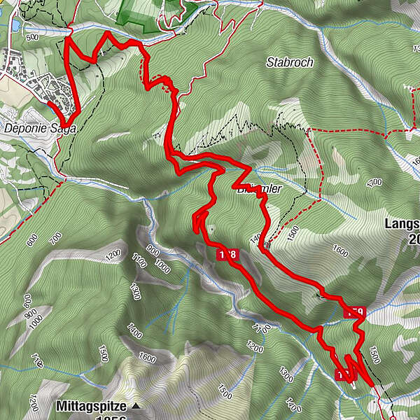
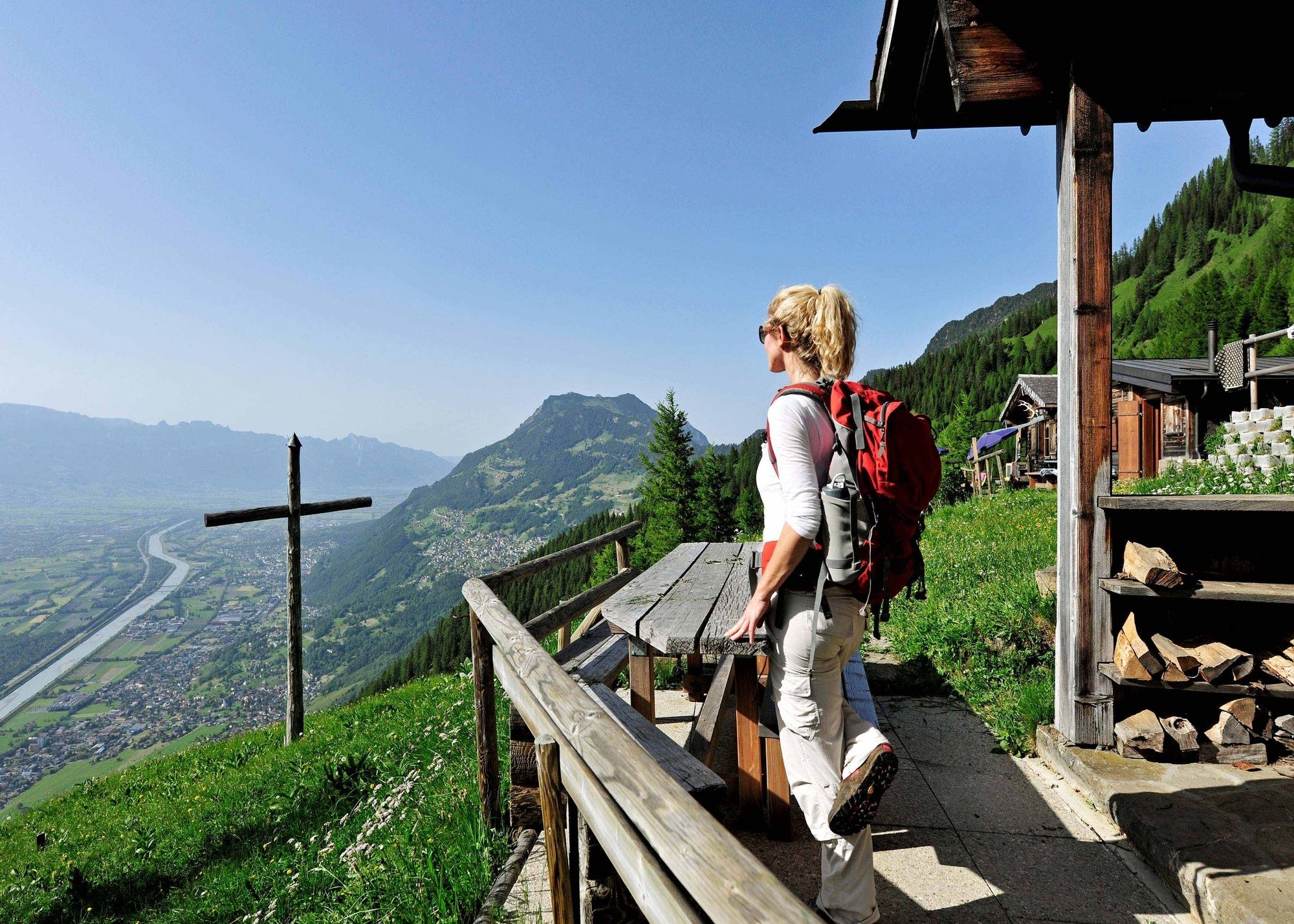
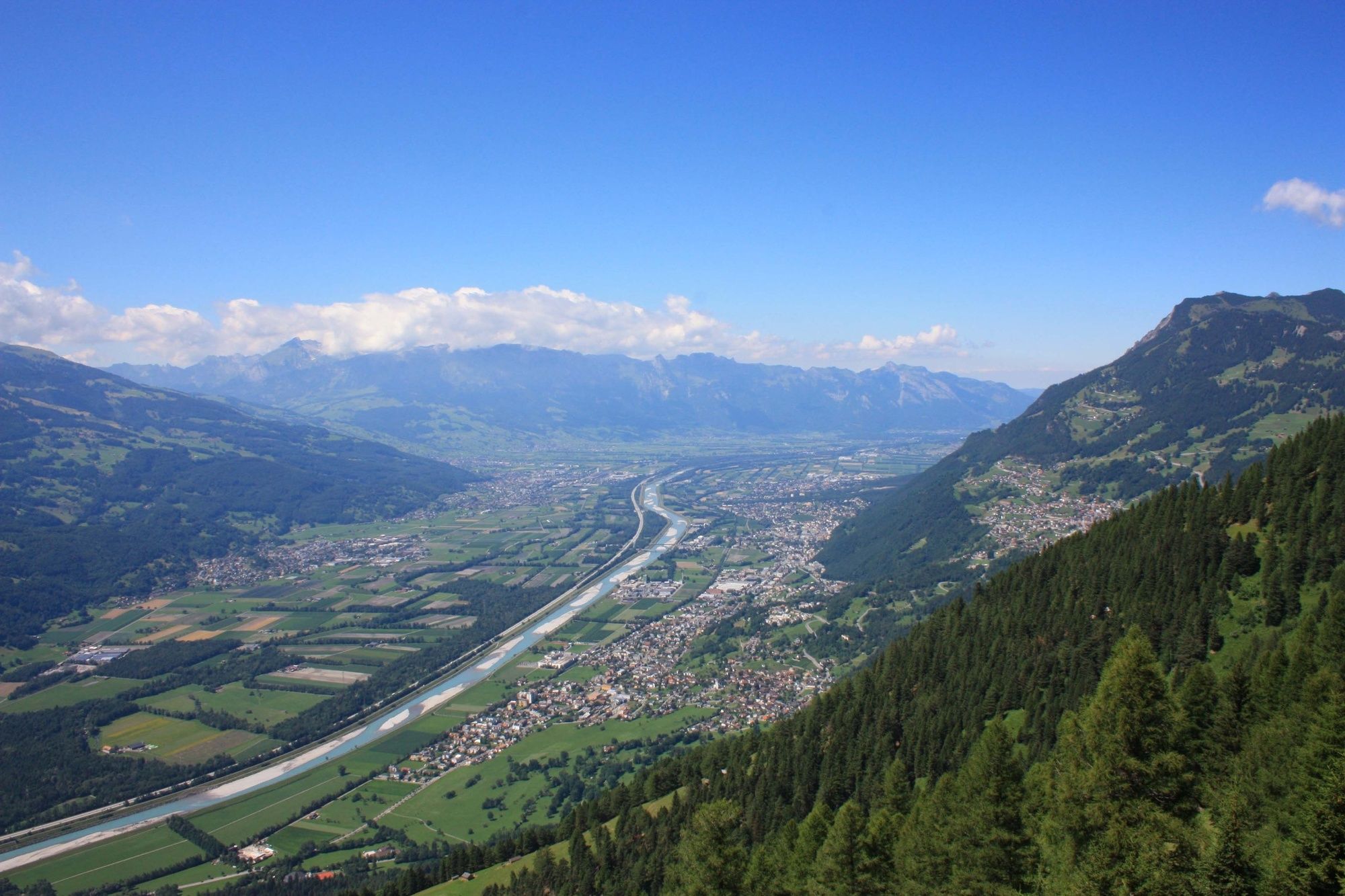
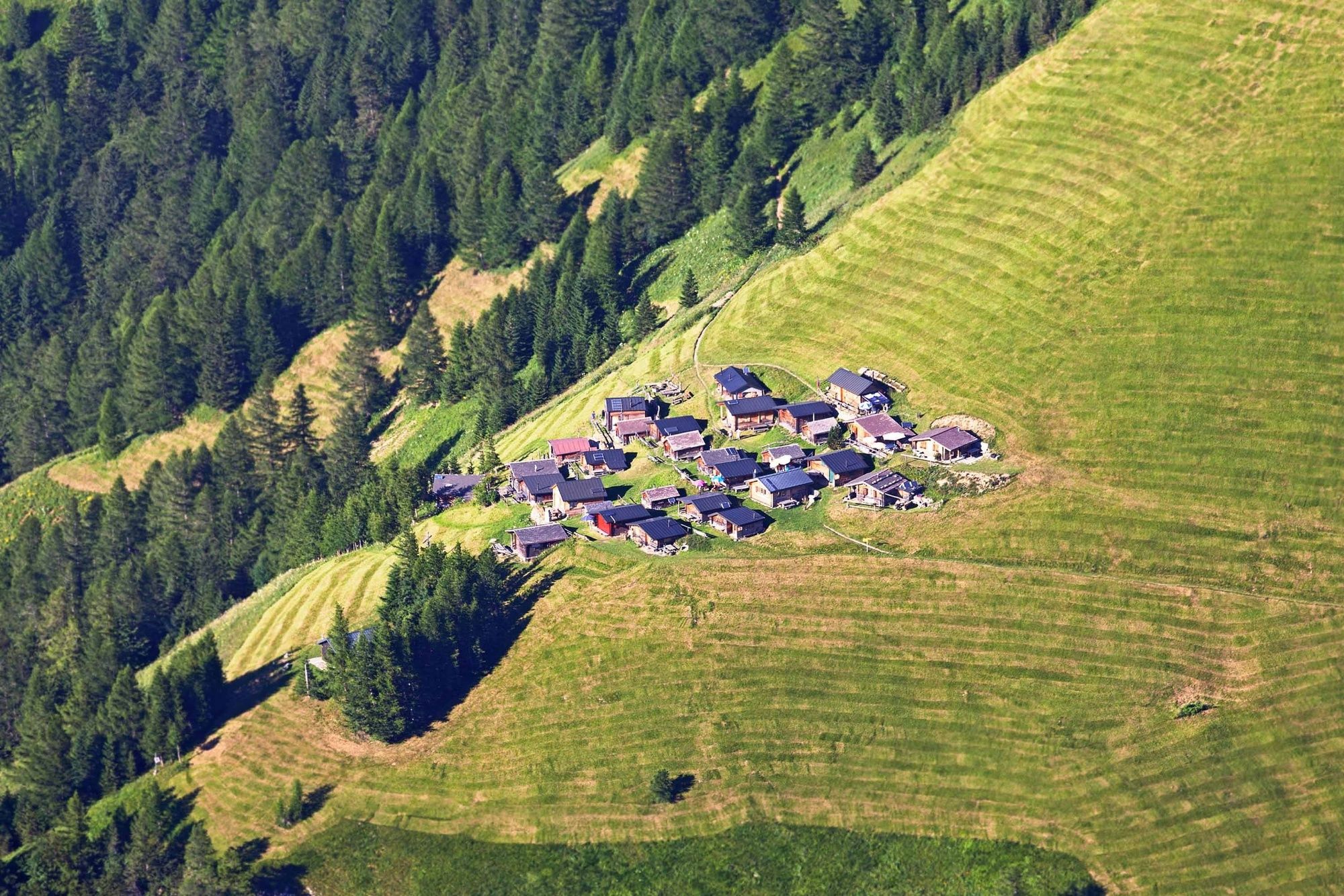
This challenging hike up to the hay huts of Tuass is worth the effort thanks to the fabulous untouched nature, steep mountain meadows and magnificent views of the Rhine Valley.

Difficoltà
intermedio
Valutazione
Tecnica
Forma fisica
Panorama
Avventura / Esperienza
Percorso
Blüemler
3,5 km
Restaurant Alte Eiche
11,1 km

La stagione migliore
gen
feb
mar
apr
mag
giu
lug
ago
set
ott
nov
dic
Punto più alto
1.433 m
Destinazione

Mittagsspitze campsite

Profilo altimetrico
© outdooractive.com

Autore
Il tour Rough, wild, mystical - hike to Tuass è utilizzato da outdooractive.com fornito.

Valutazione complessiva

5

0

%

4

0

%

3

0

%

2

0

%

1

0

%

Errore
Si è verificato un errore. Si prega di riprovare.
Grazie per la vostra recensione

La valutazione è stata cancellata

GPS Downloads
  • GPX GPS Exchange Format (XML)
  • KML Google Earth, Google Maps
Codici di download QR per telefoni cellulari

Info generali

Suggerimento
Promettente
Altri tour nelle regioni

Tour popolari della zona

Fürstensteig-Drei Schwestern

Escursionismo
12,9km | 649hm | 05:30h

Fürstin-Gina-Weg

Escursionismo
10,68km | 850hm | 05:00h

Staubern-Runde (15.8.2021)

intermedio Escursionismo
8,65km | 371hm | 05:07h

Schesaplana, 2.965 m | Brand

difficile Escursionismo
13,59km | 1351hm | 06:30h