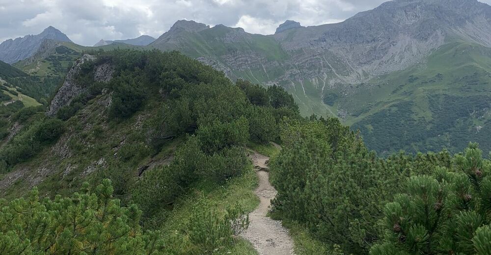
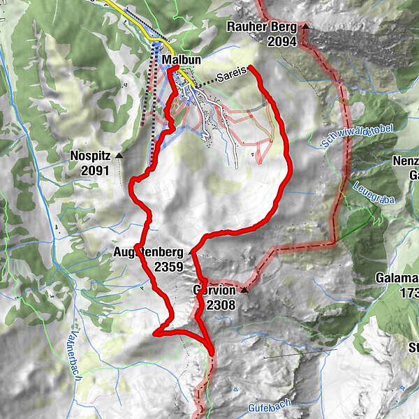
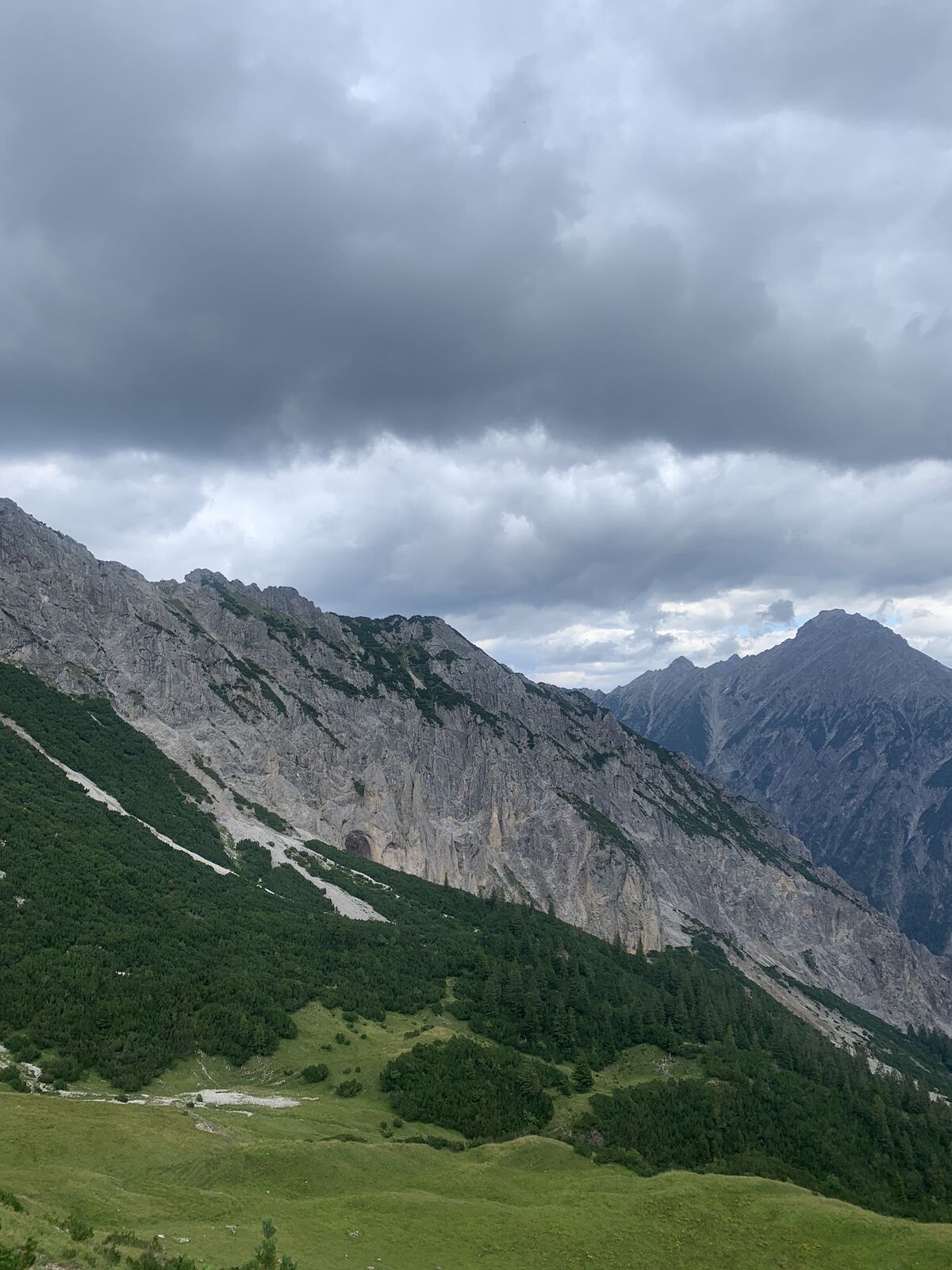
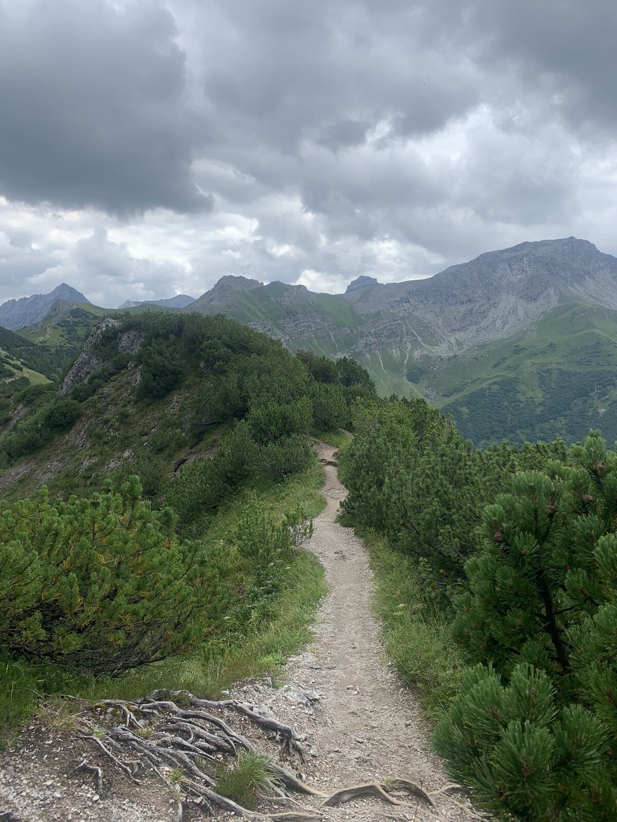
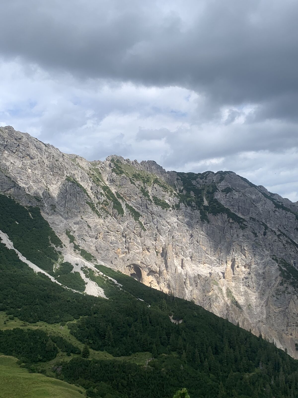
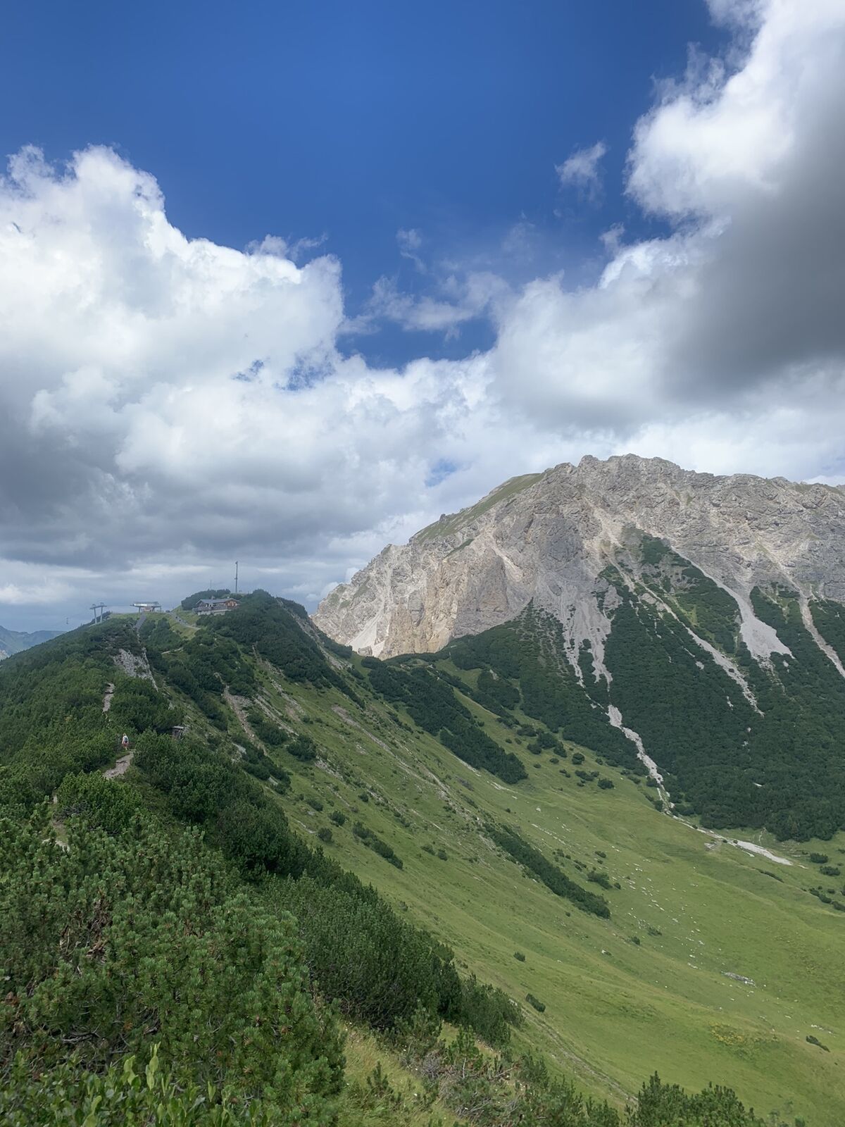
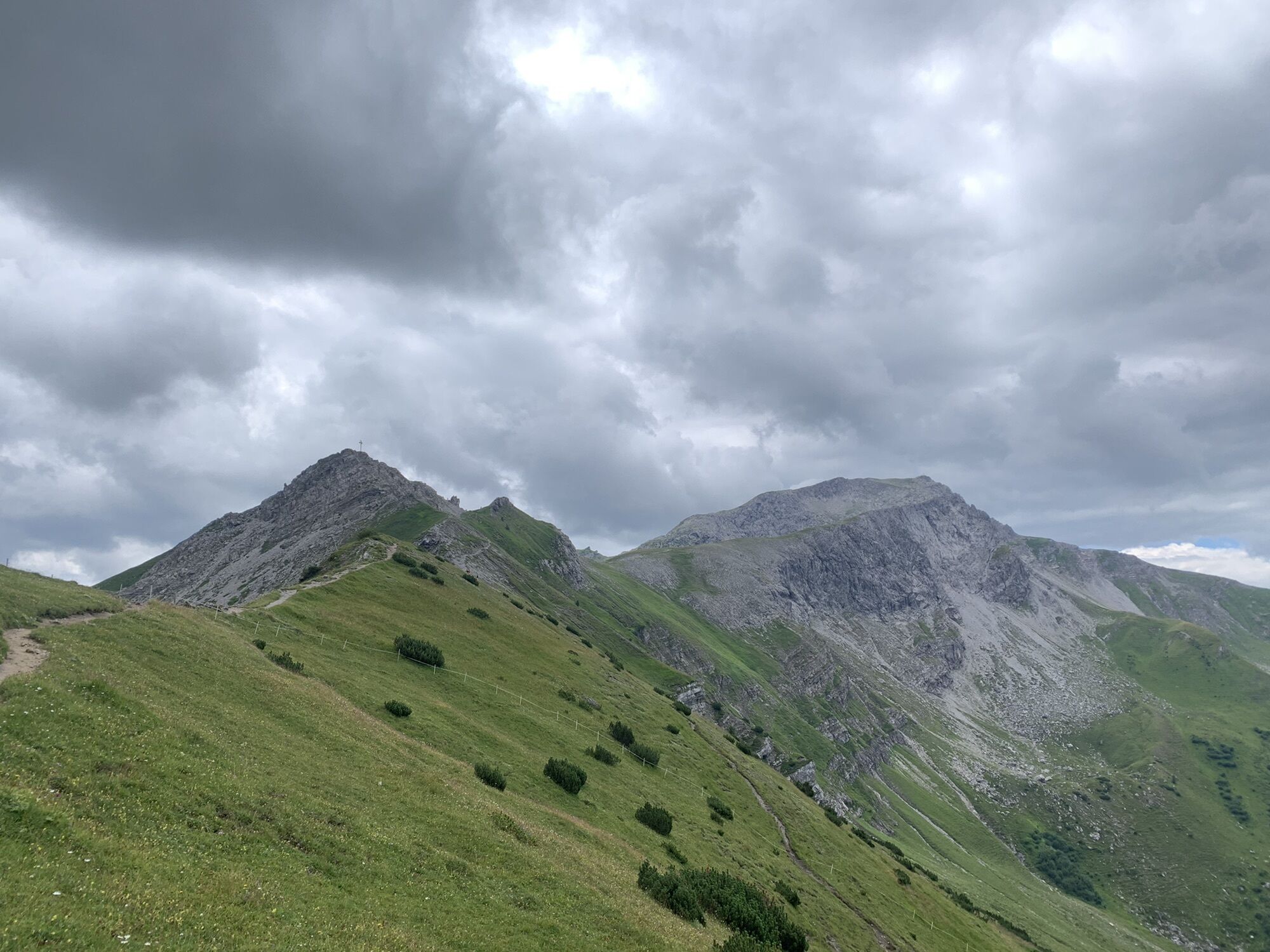
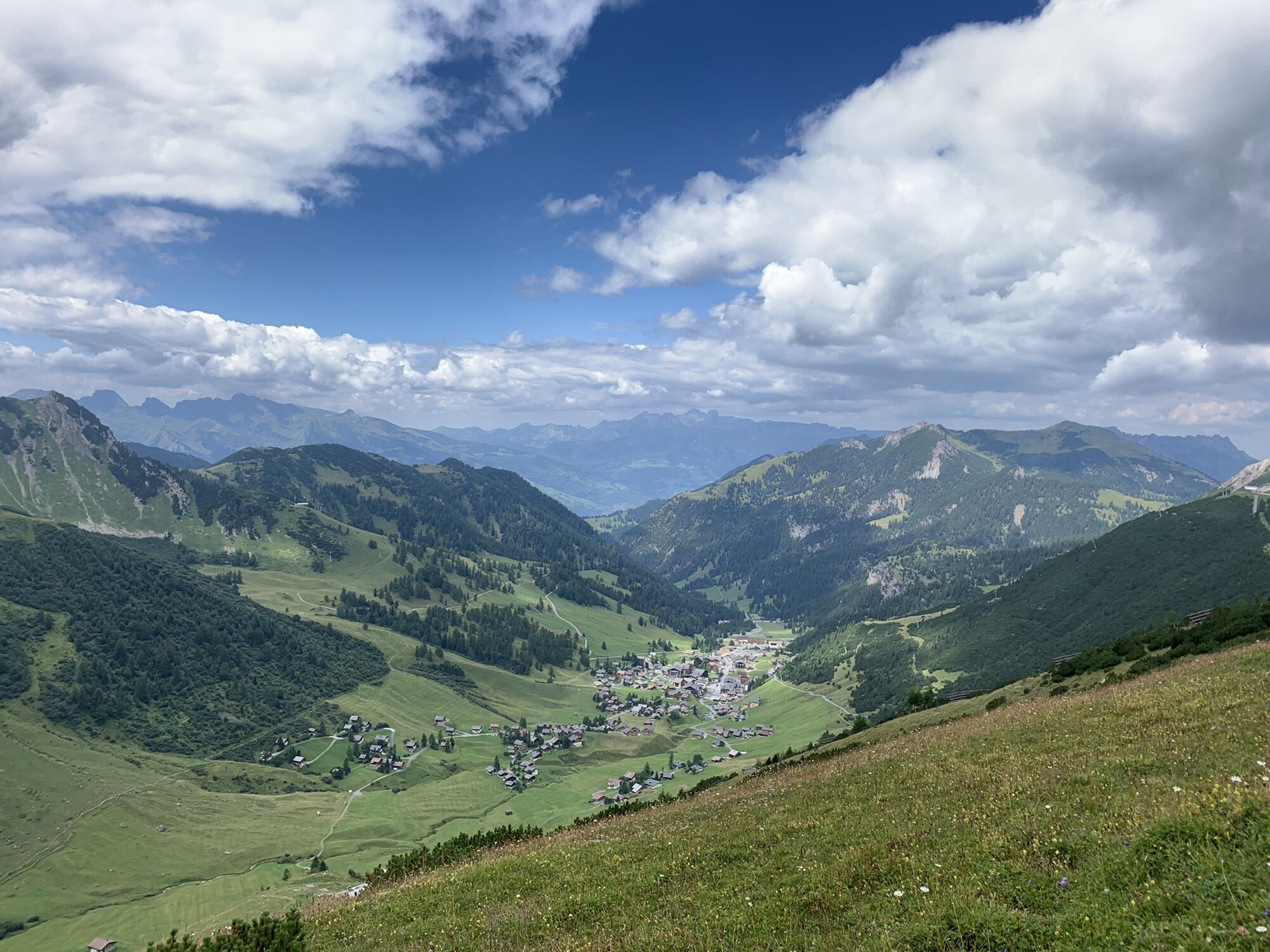
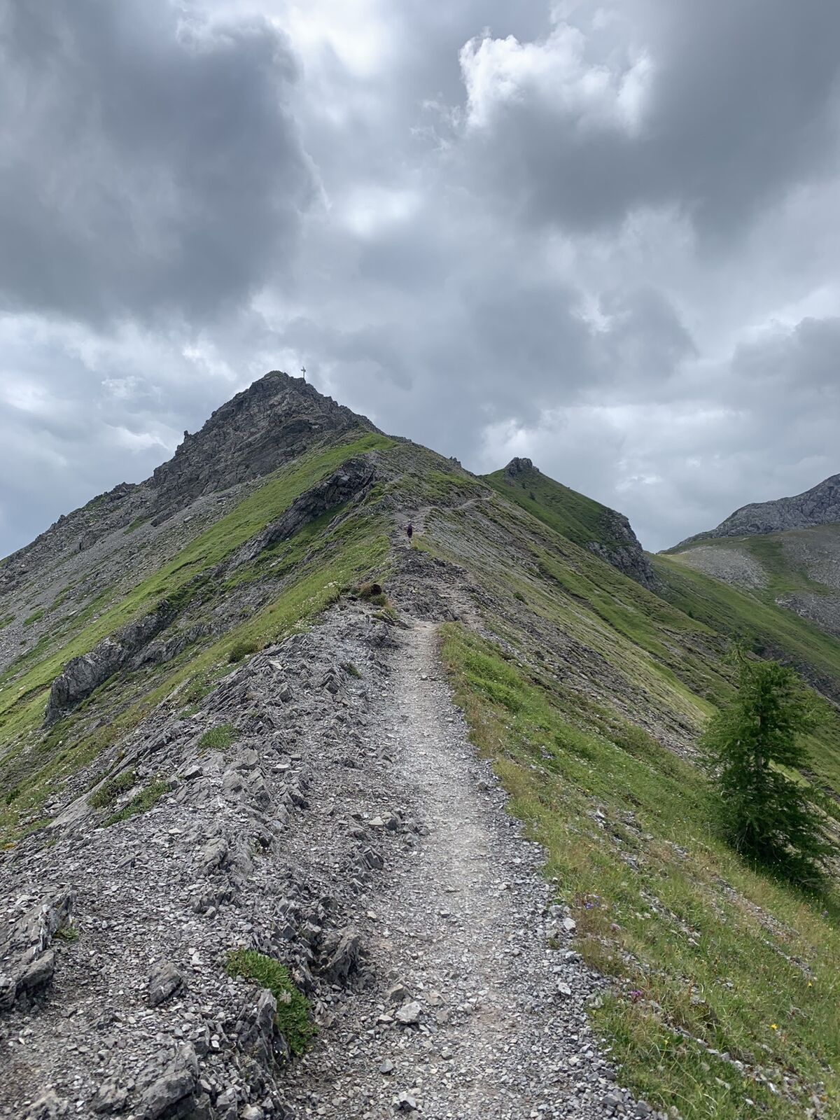
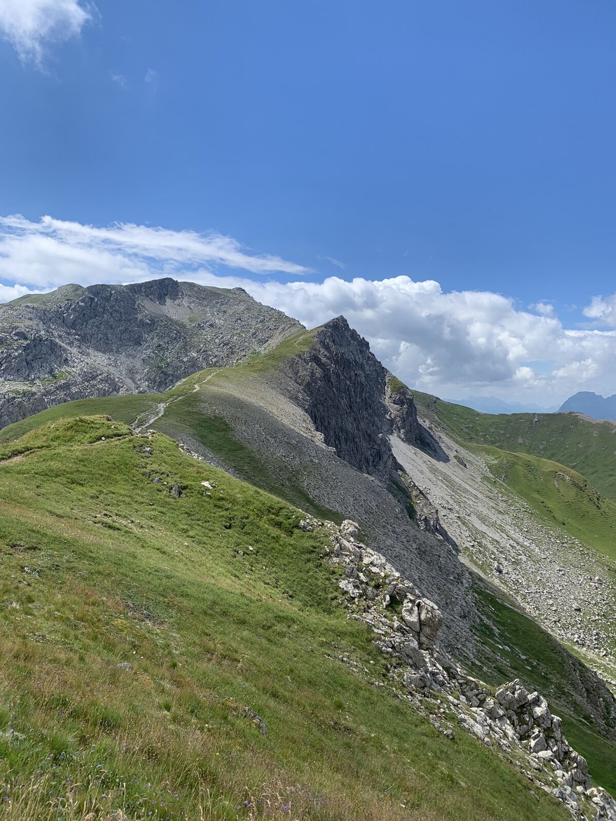
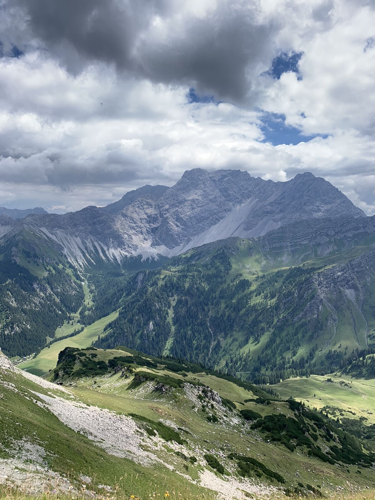
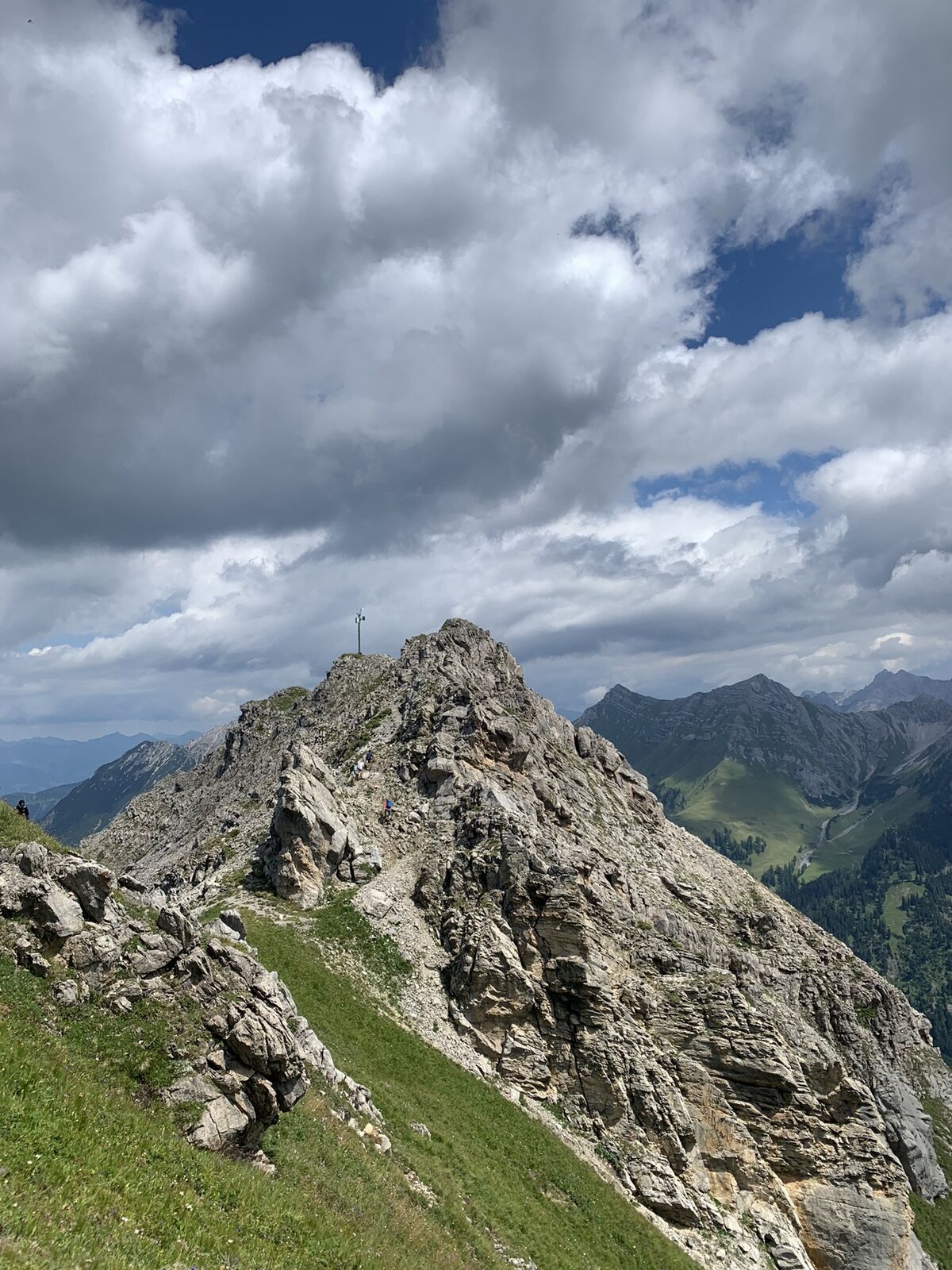
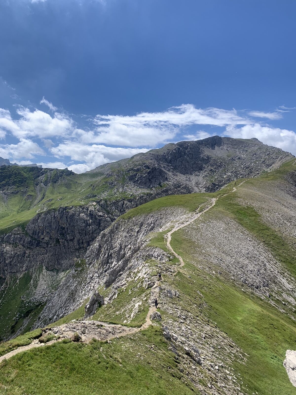
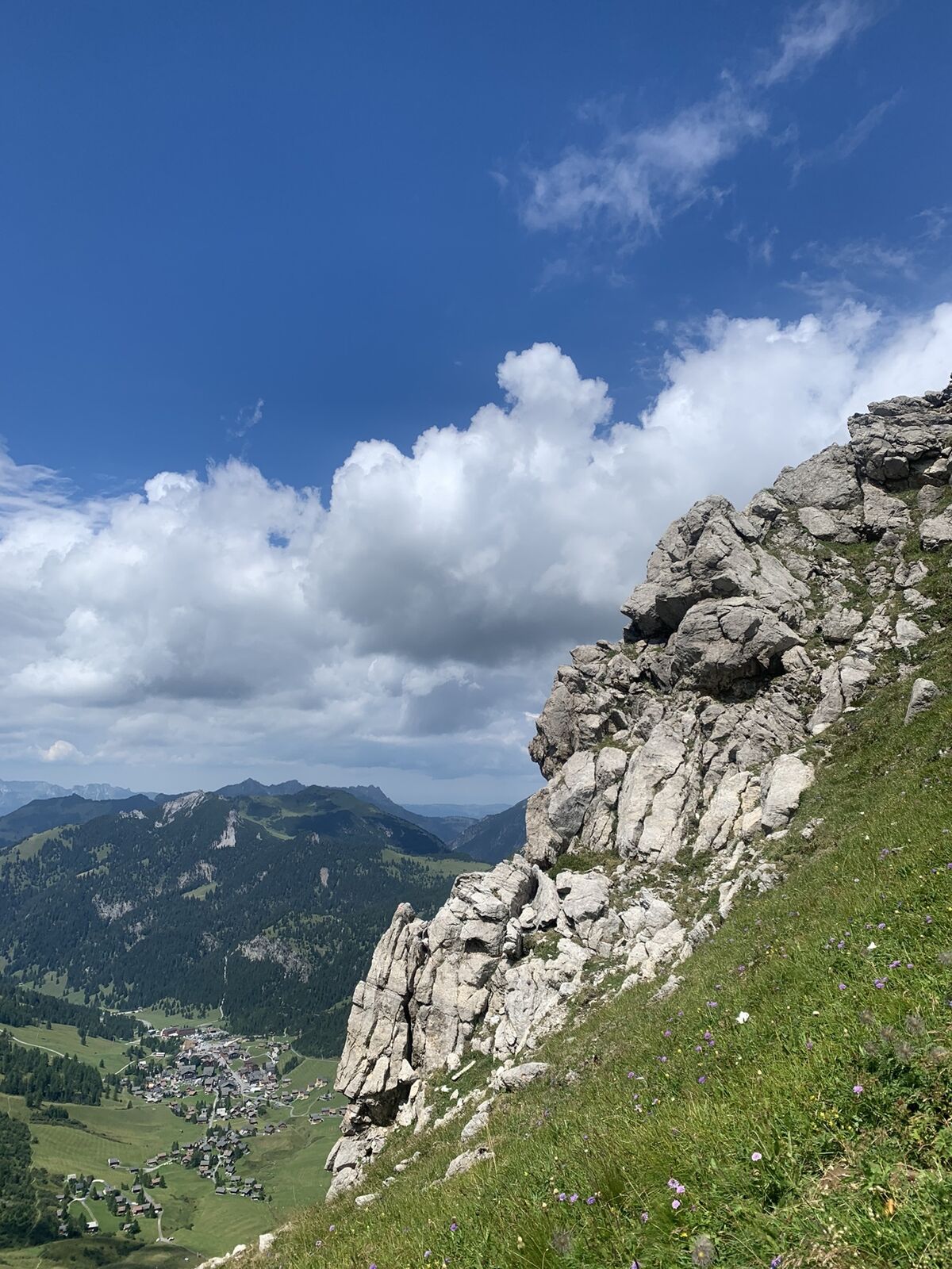
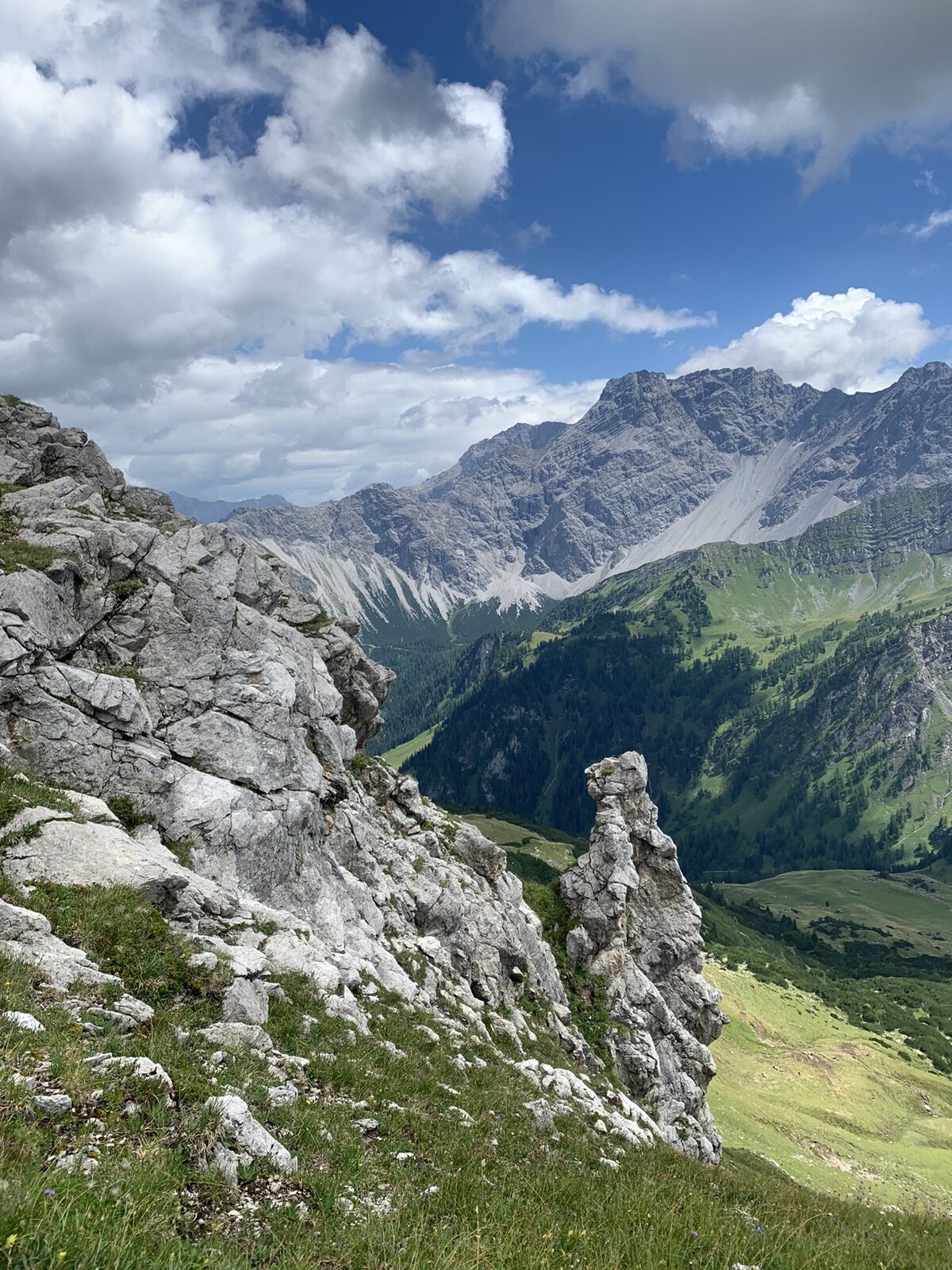
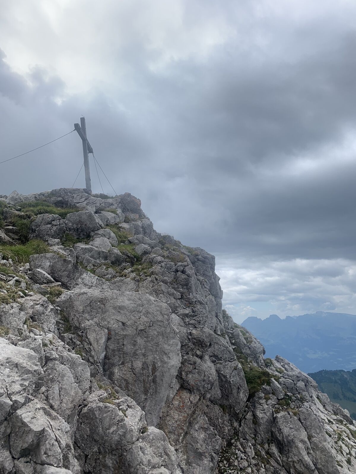
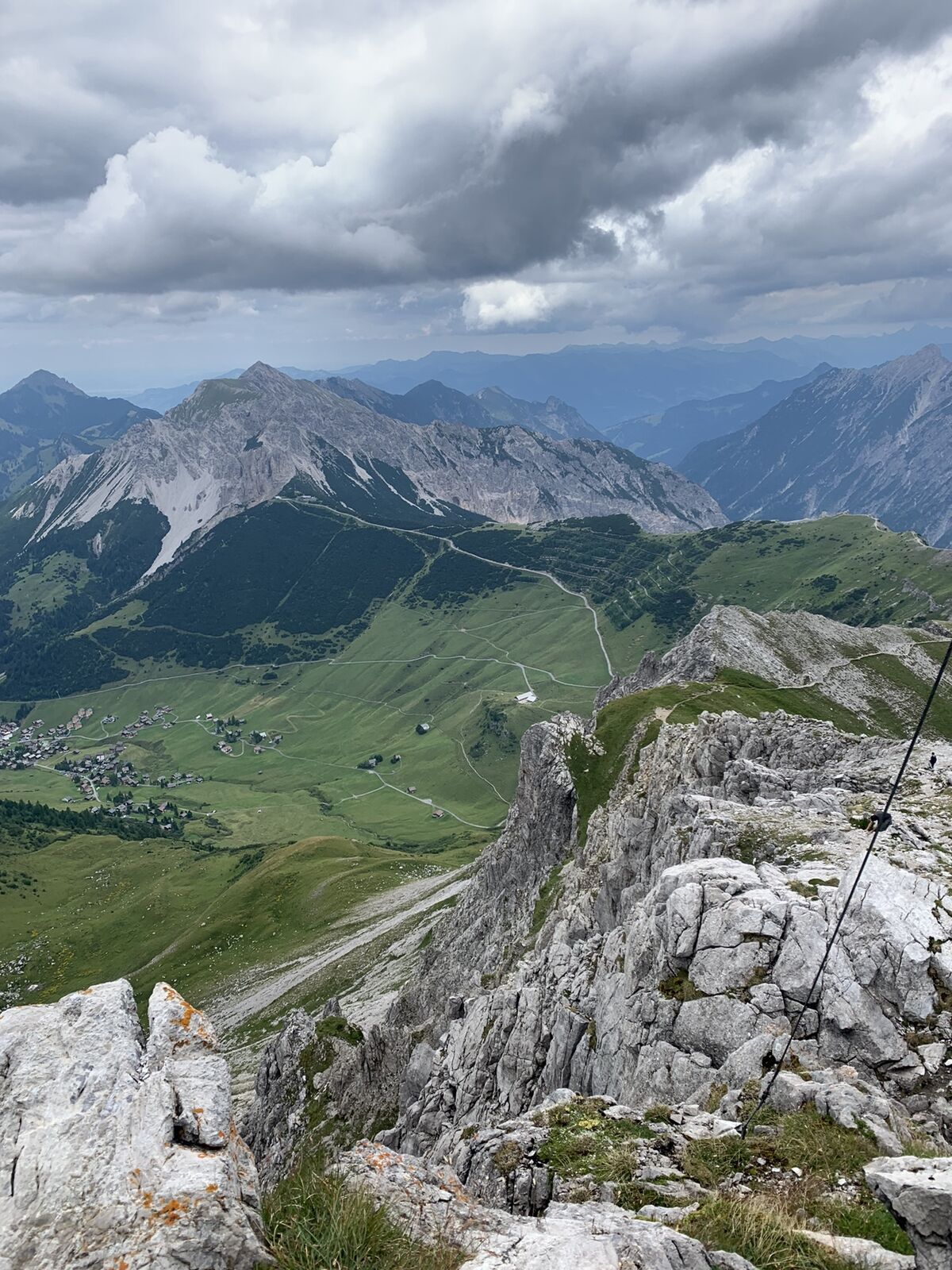
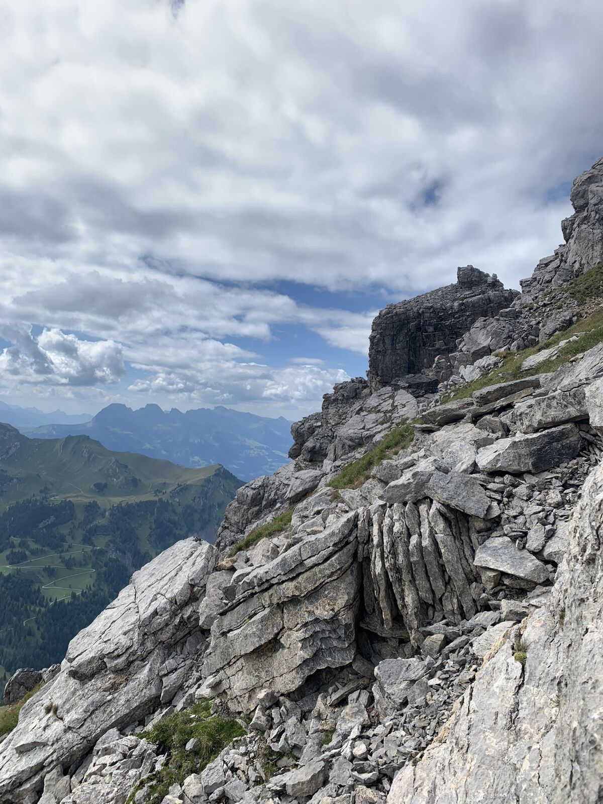
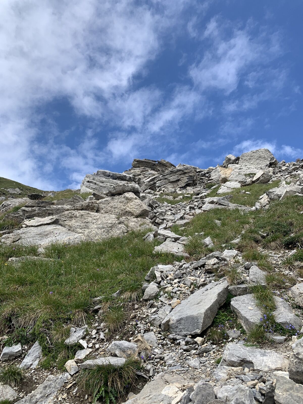
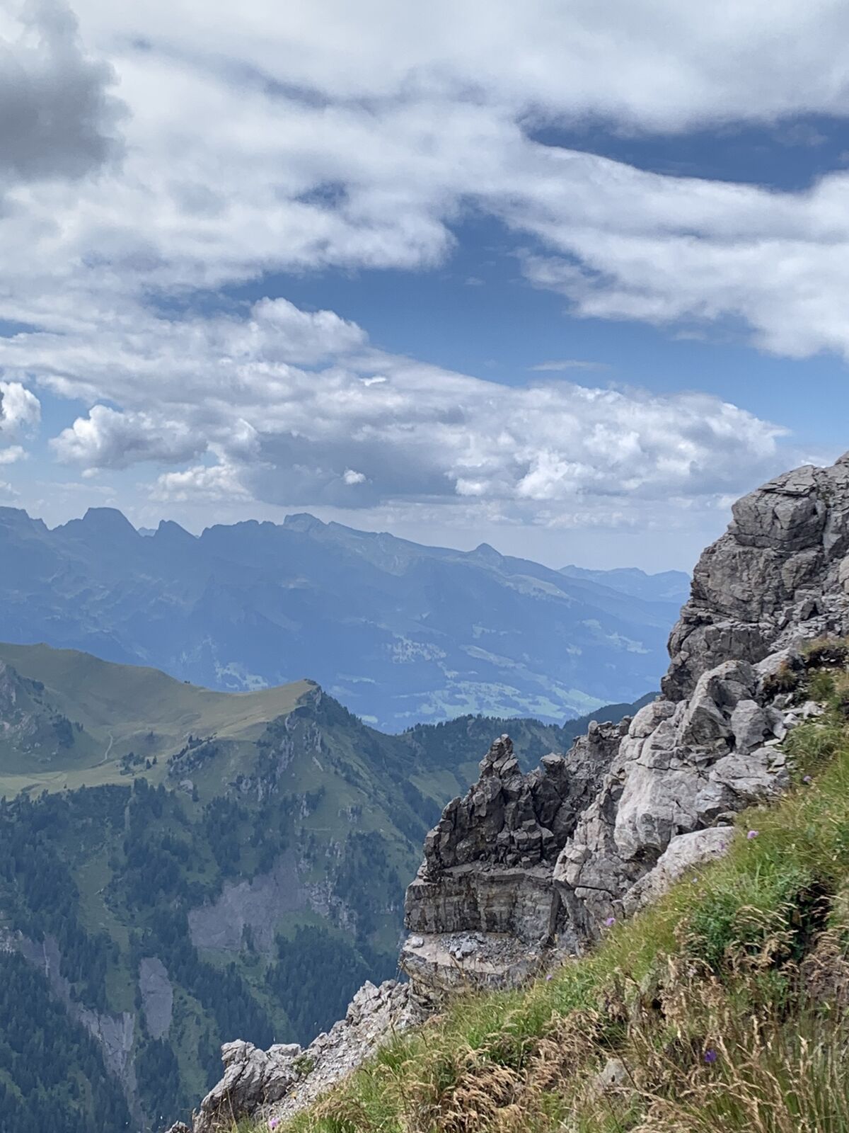
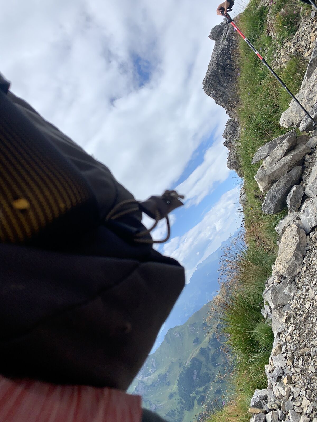
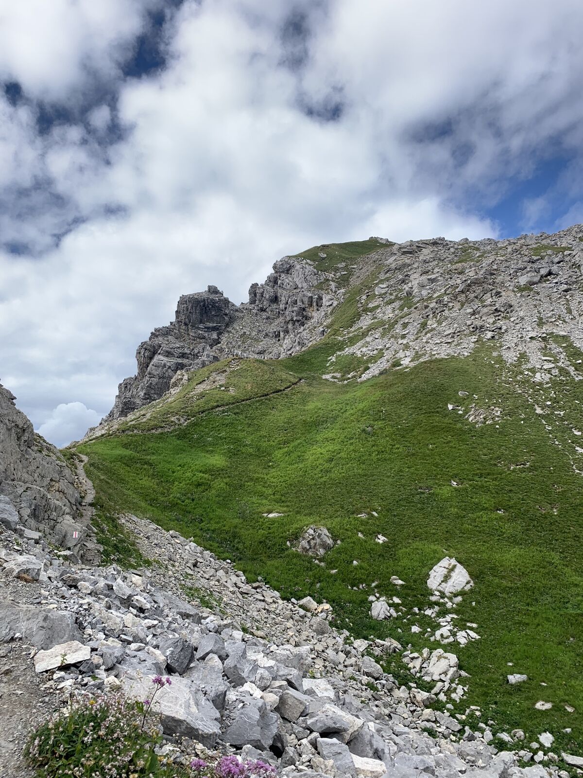
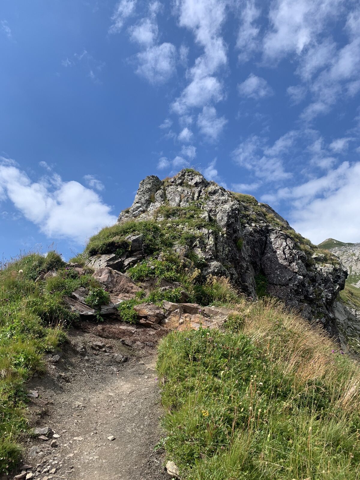
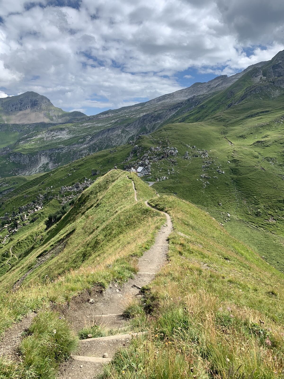
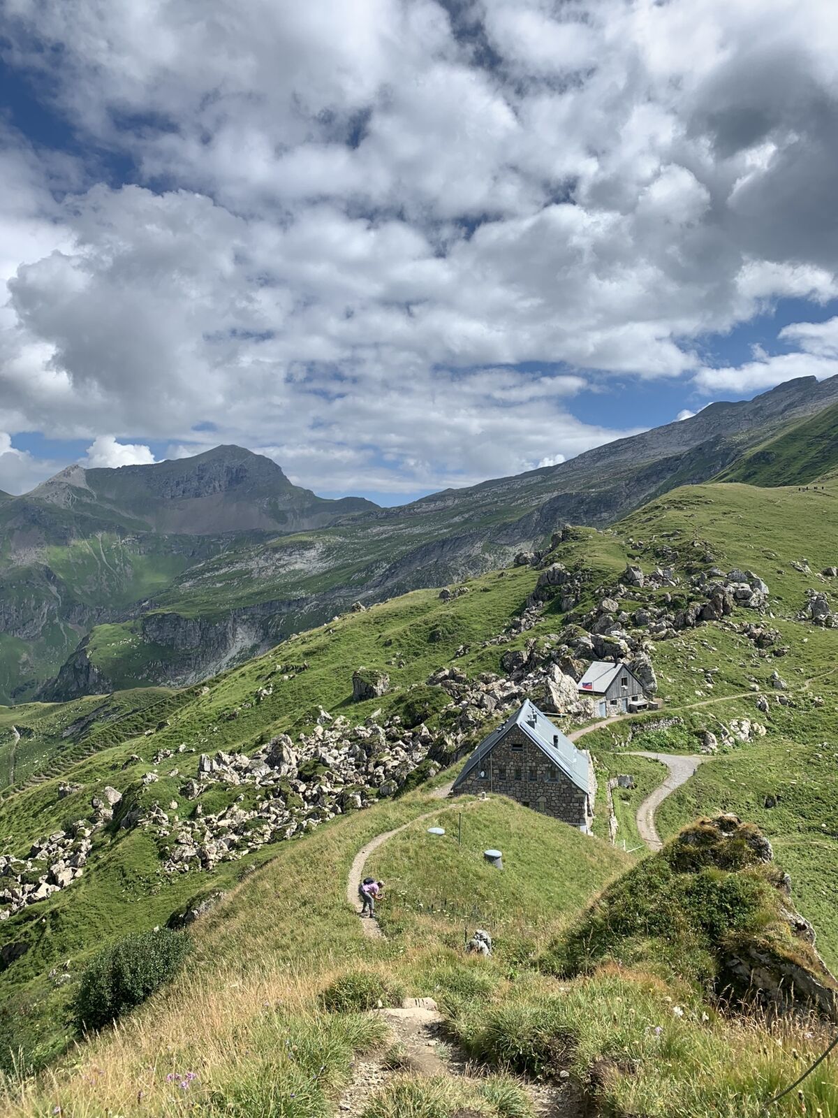
Wanderung von Sareis über den Augstenberg und die Pfälzerhütte nach Malbun

Escursionismo


Dati percorsi
10,46km
1.591
- 2.360m
537hm
933hm
03:13h
- Descrizione rapida
-
Eher für geübte Wanderer
- Difficoltà
-
intermedio
- Valutazione
-
- Percorso
-
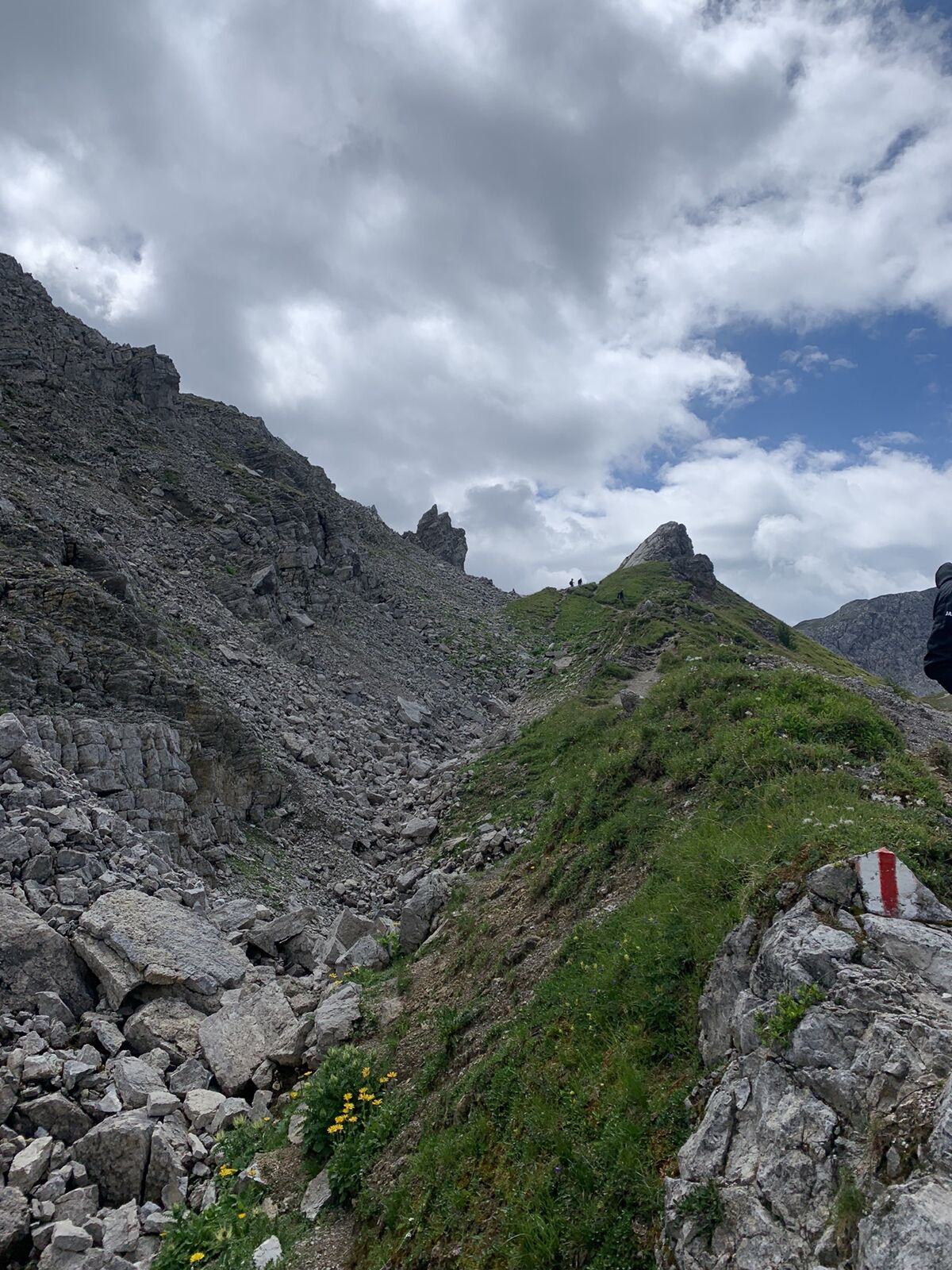
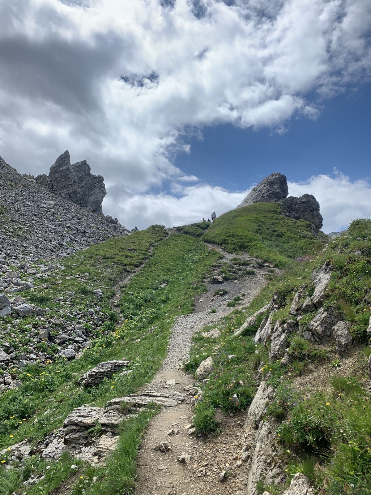
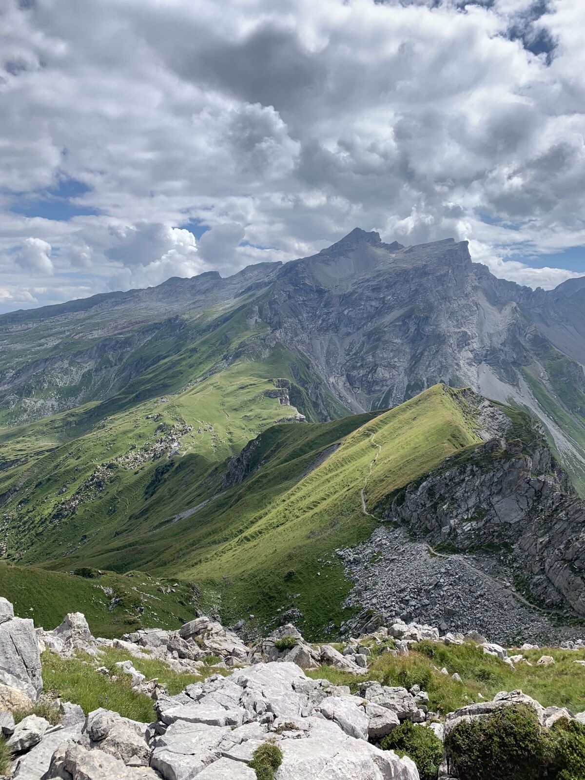
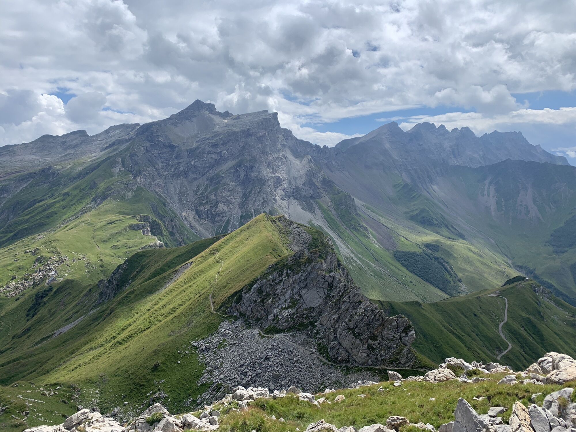
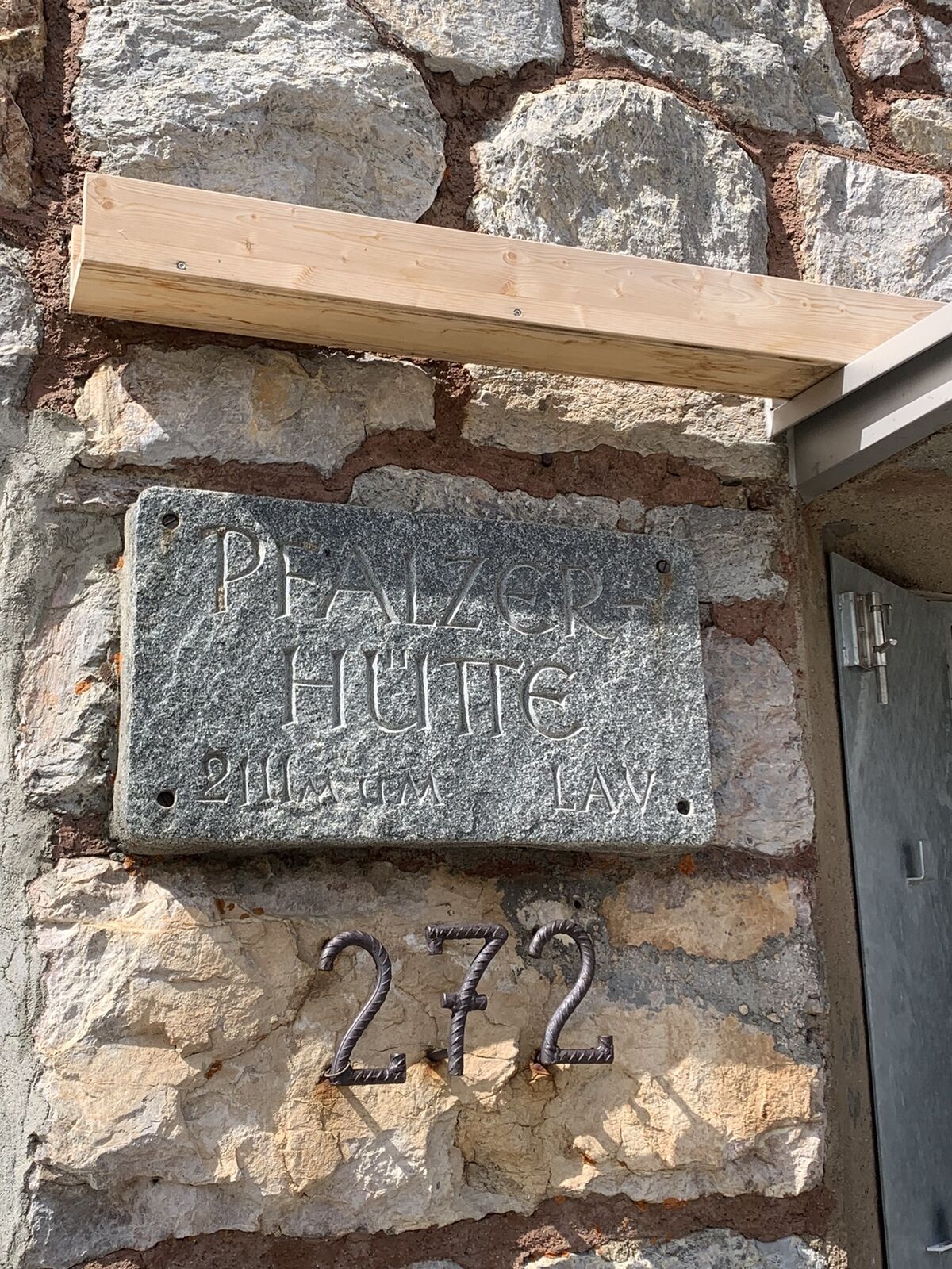
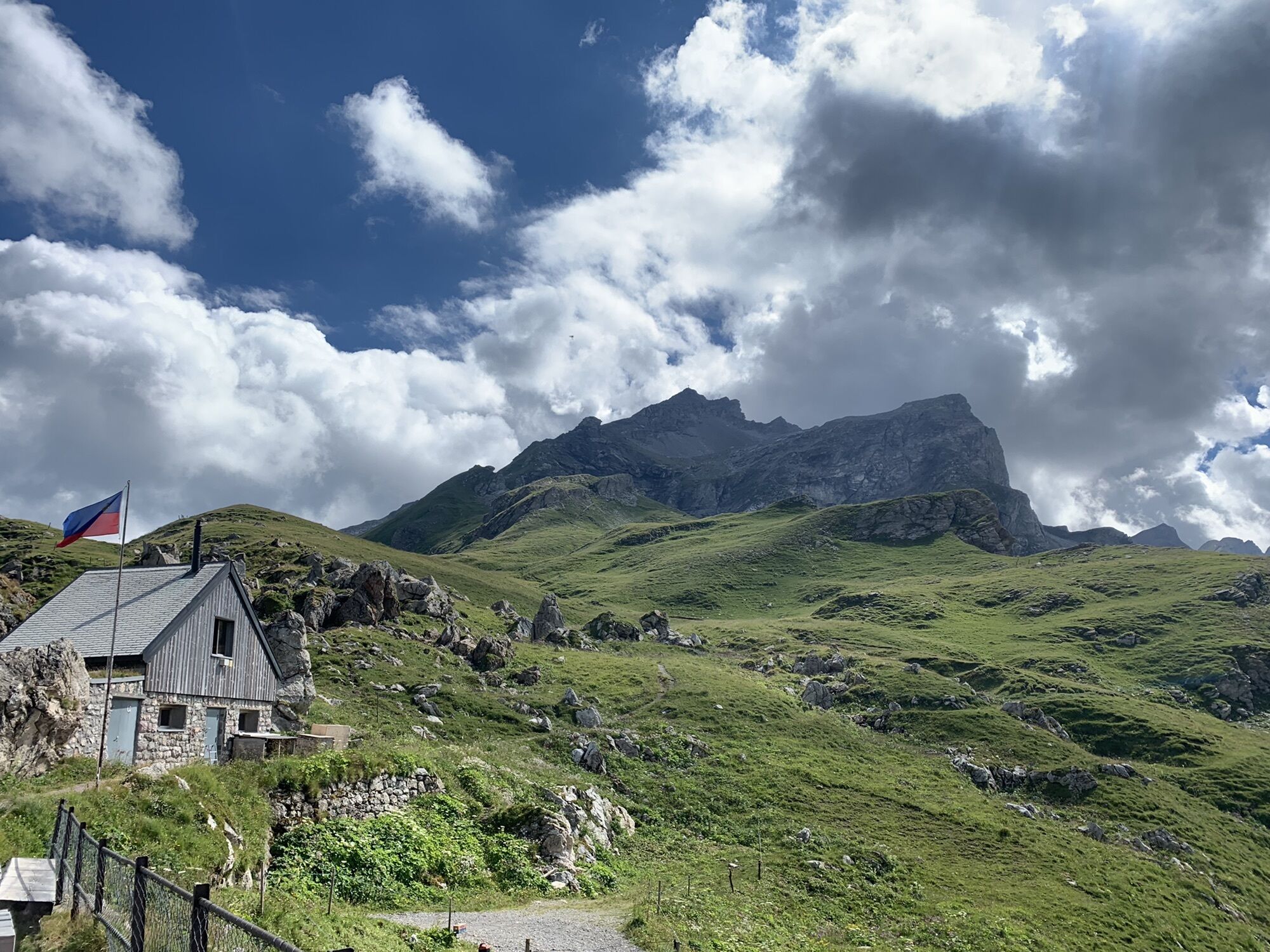
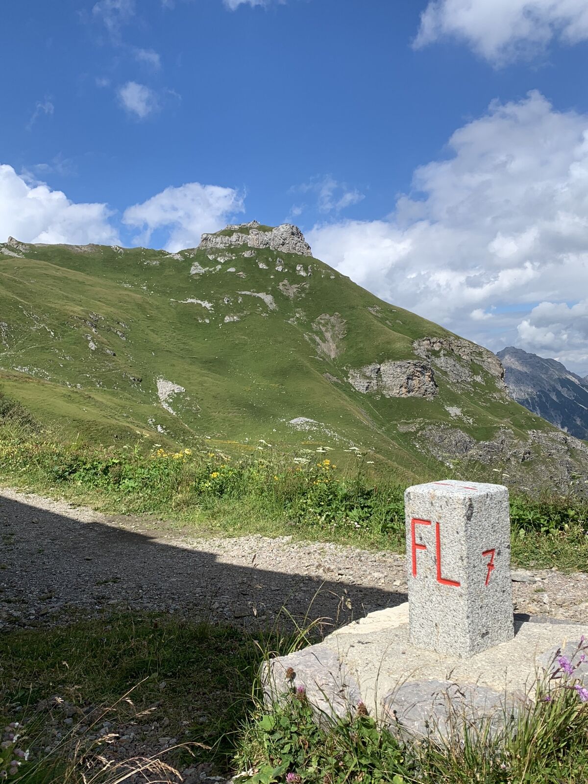
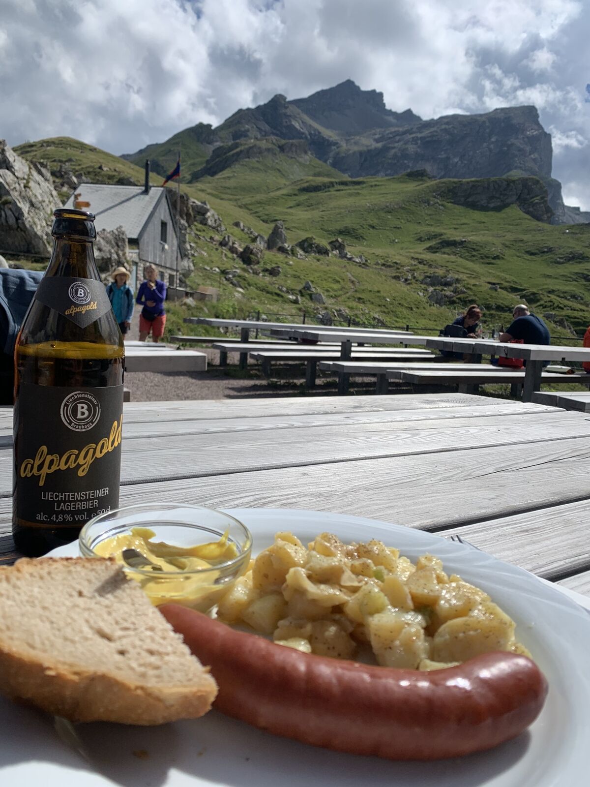
Sareis (1.993 m)0,0 kmBergrestaurant Sareis0,1 kmSpitz (2.187 m)2,0 kmAugstenberg (2.359 m)3,4 kmPfälzerhütte5,0 kmMalbun10,4 km
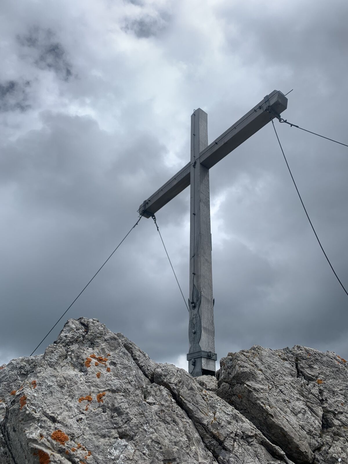
- Punto più alto
- 2.360 m


GPS Downloads


Altri tour nelle regioni
-
Heidiland
2201
-
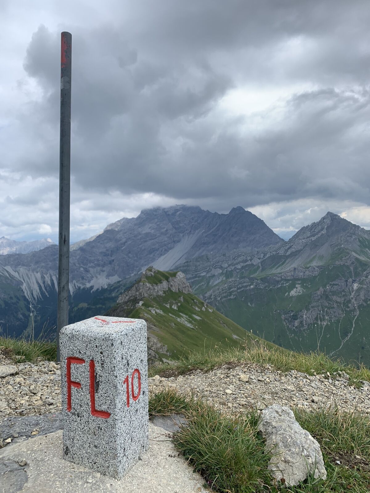
Liechtenstein
1289
-
Malbun
308


