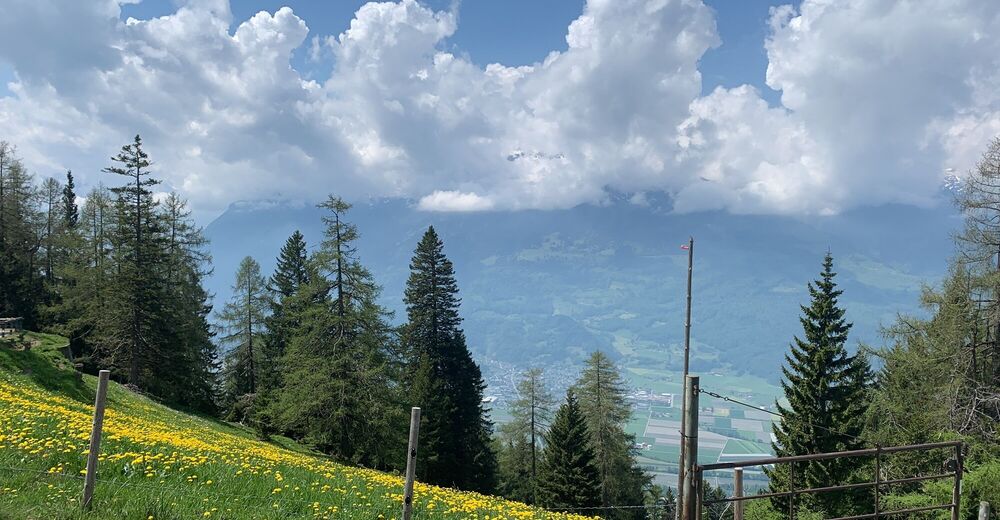
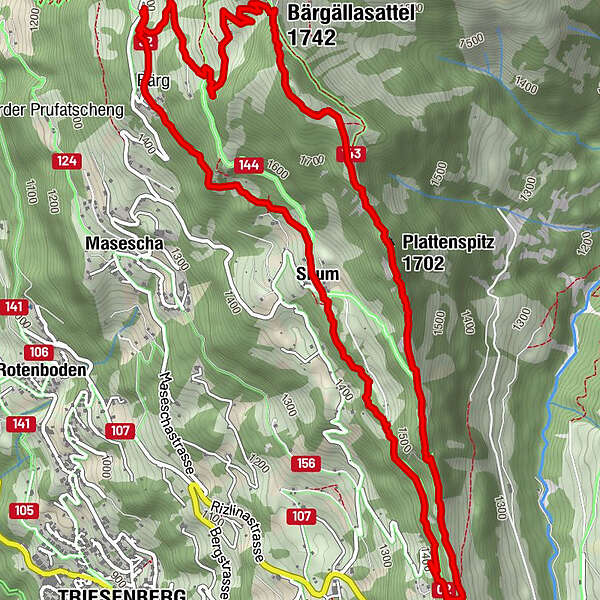
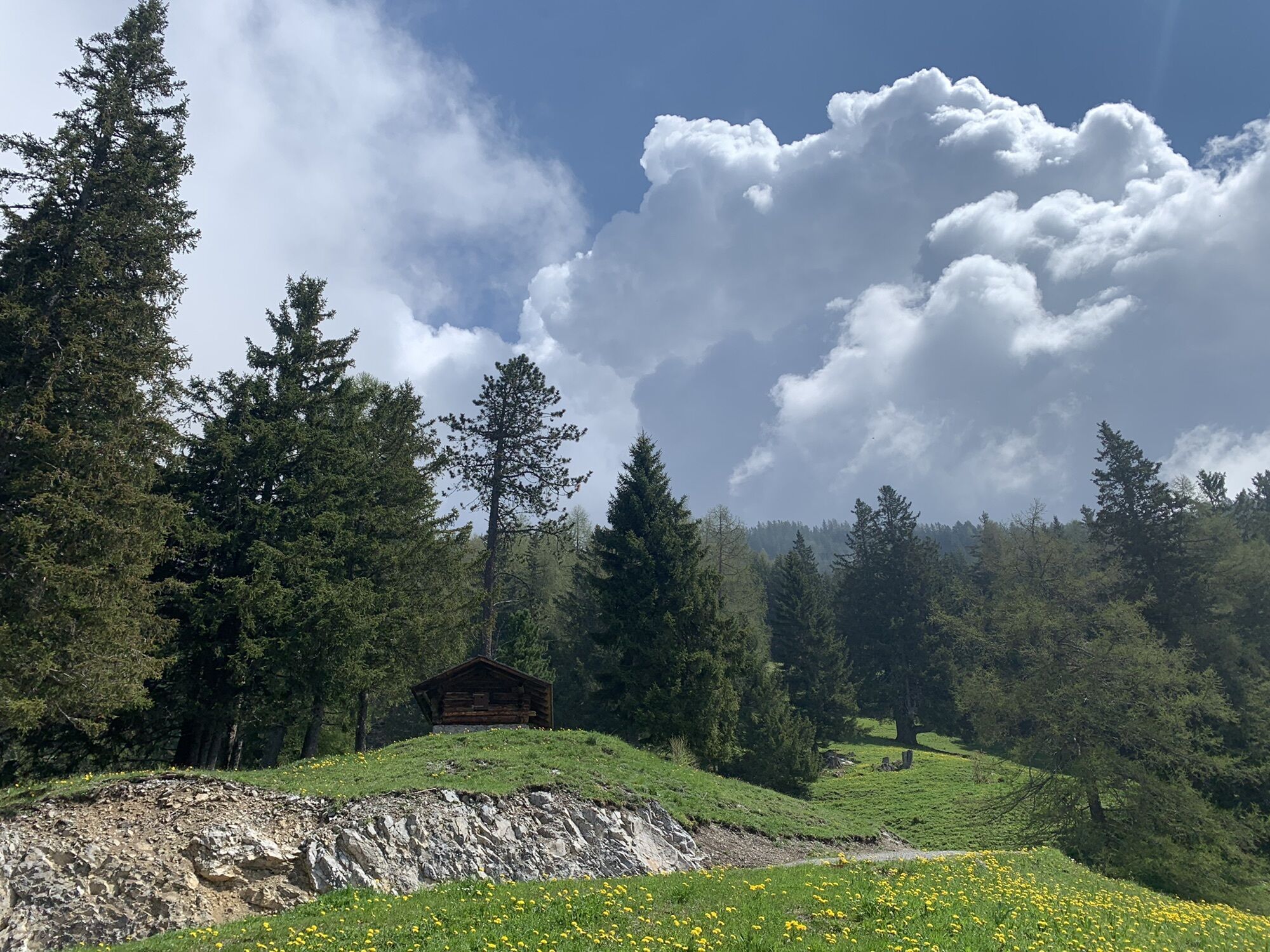
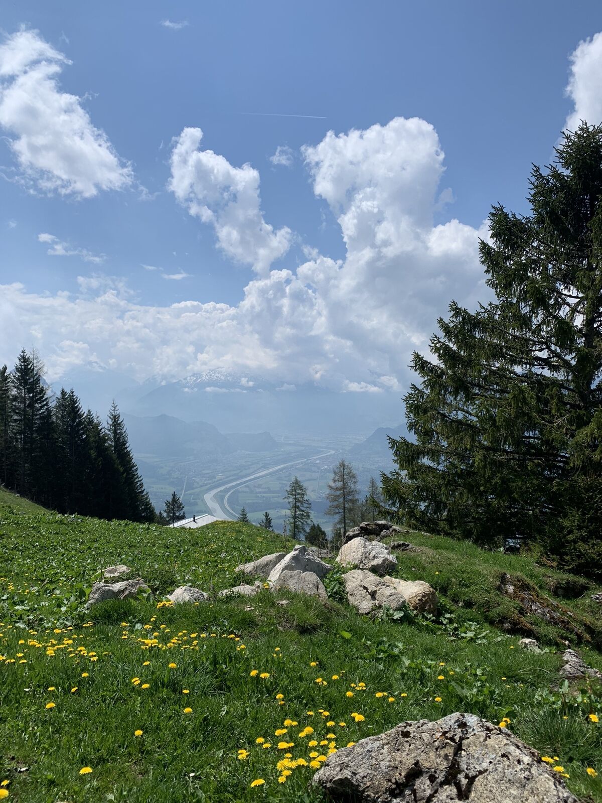
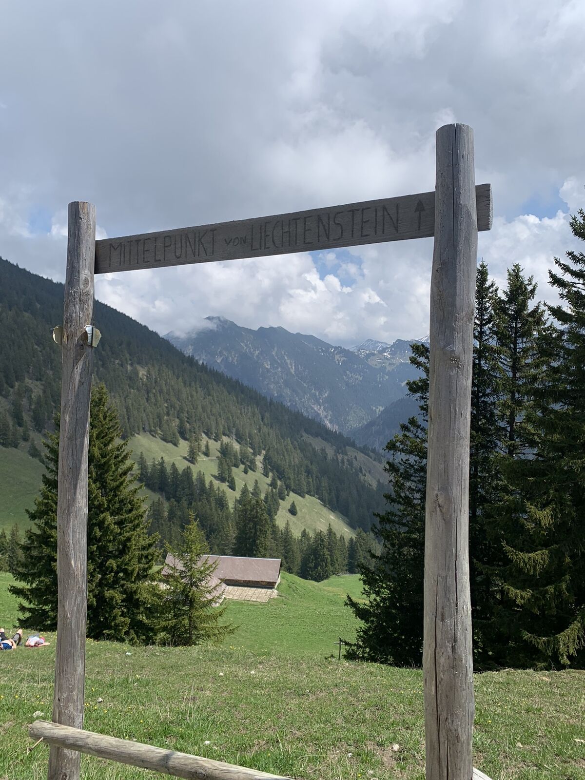
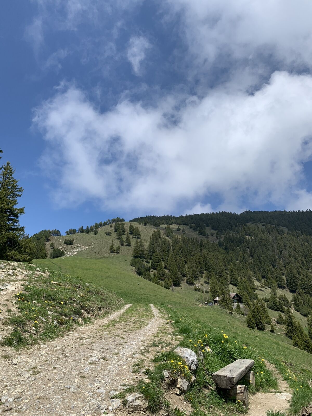
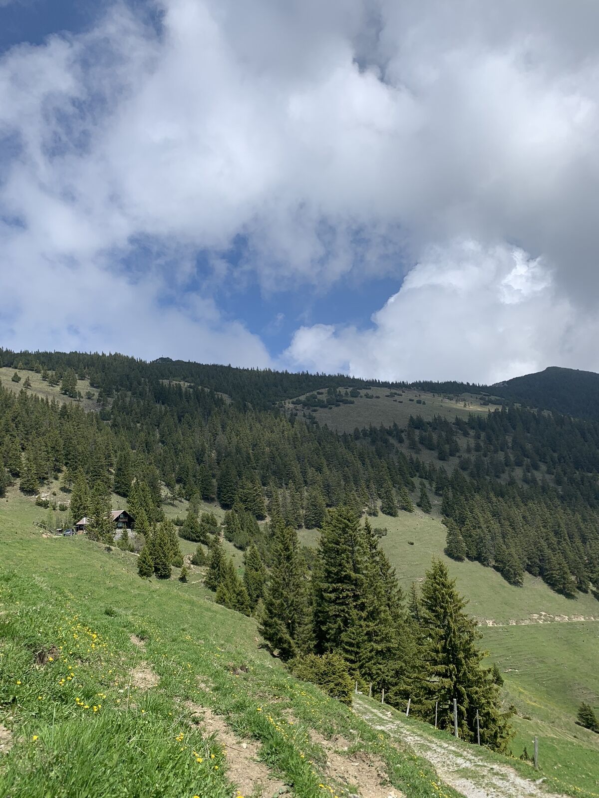
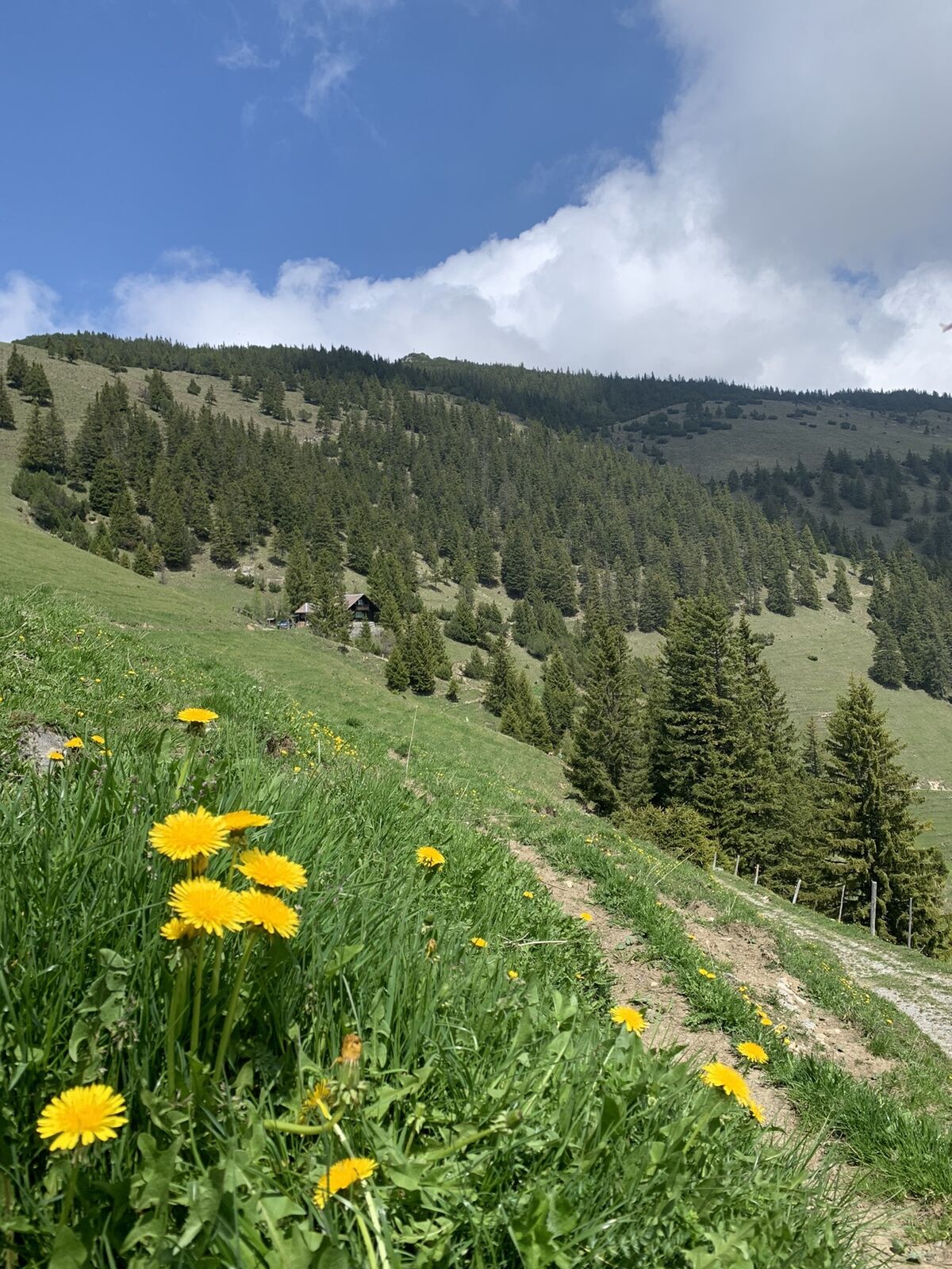
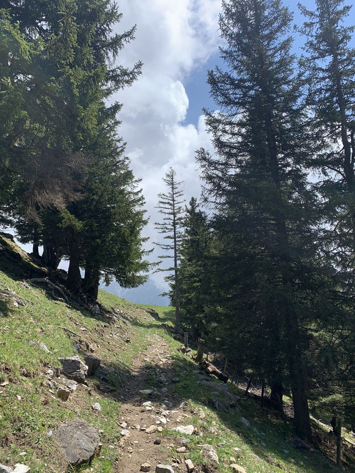
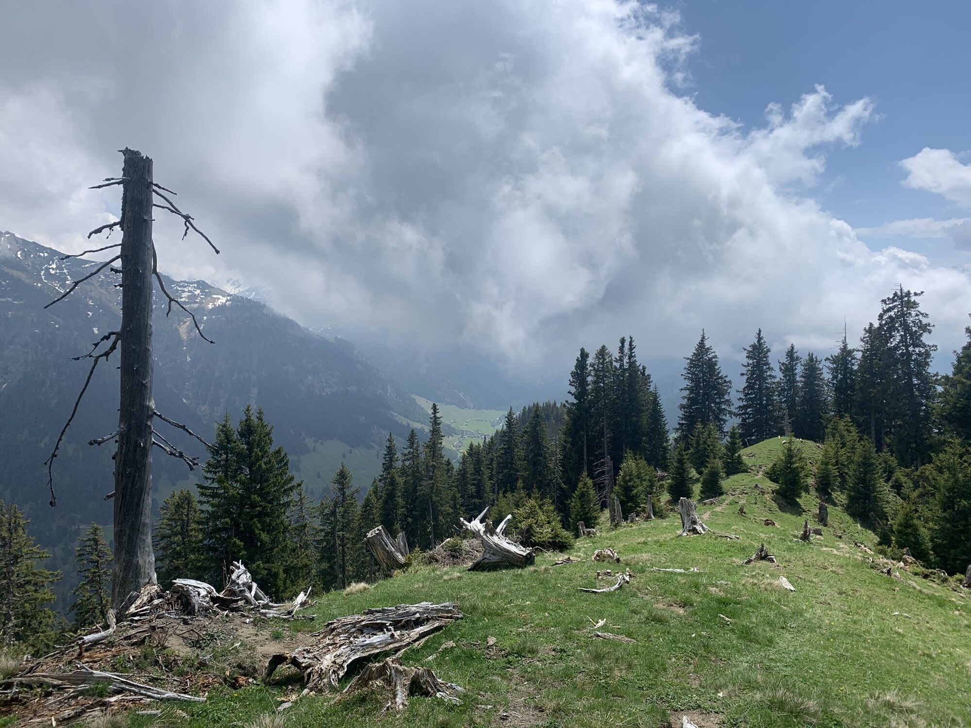
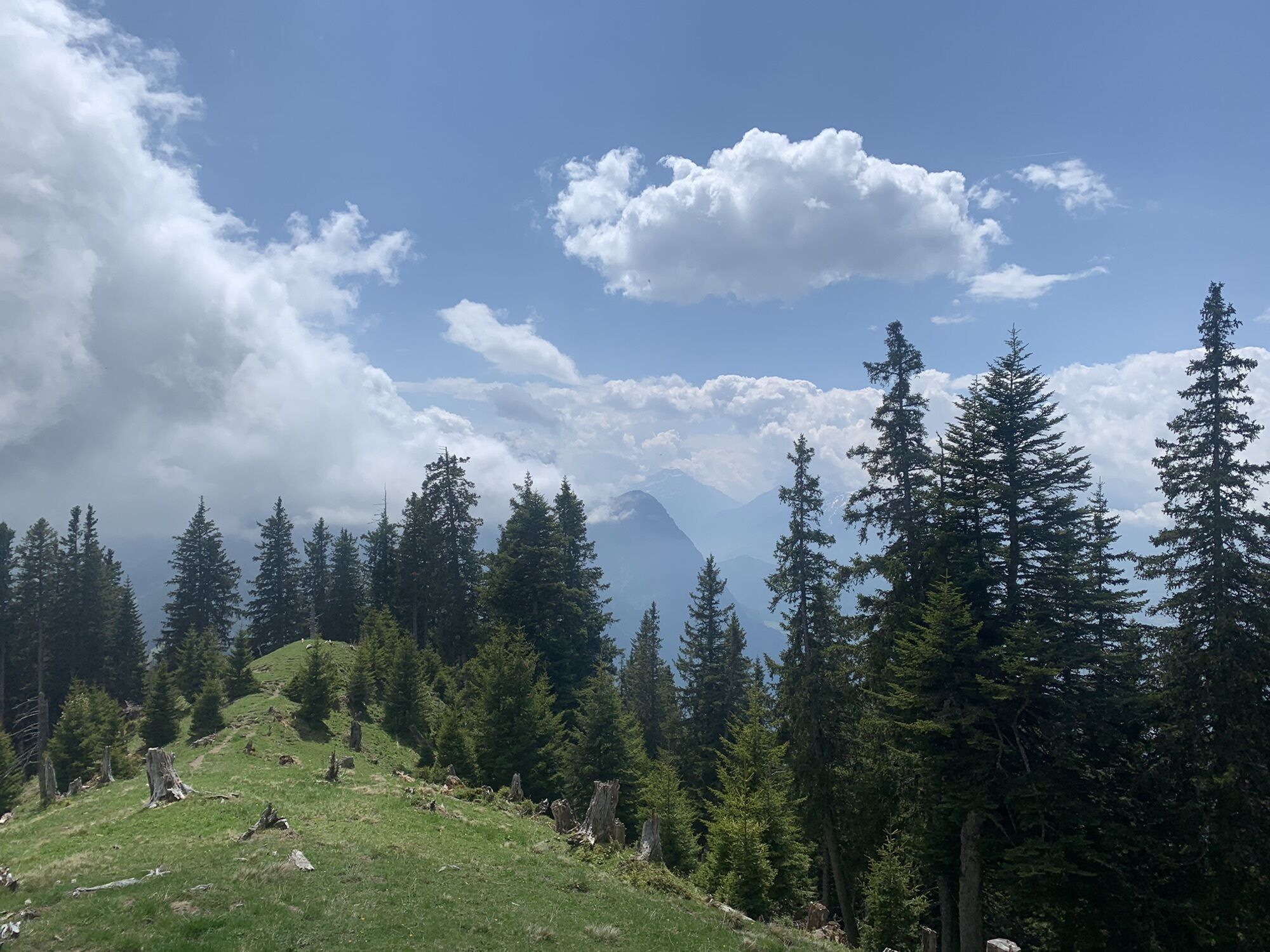
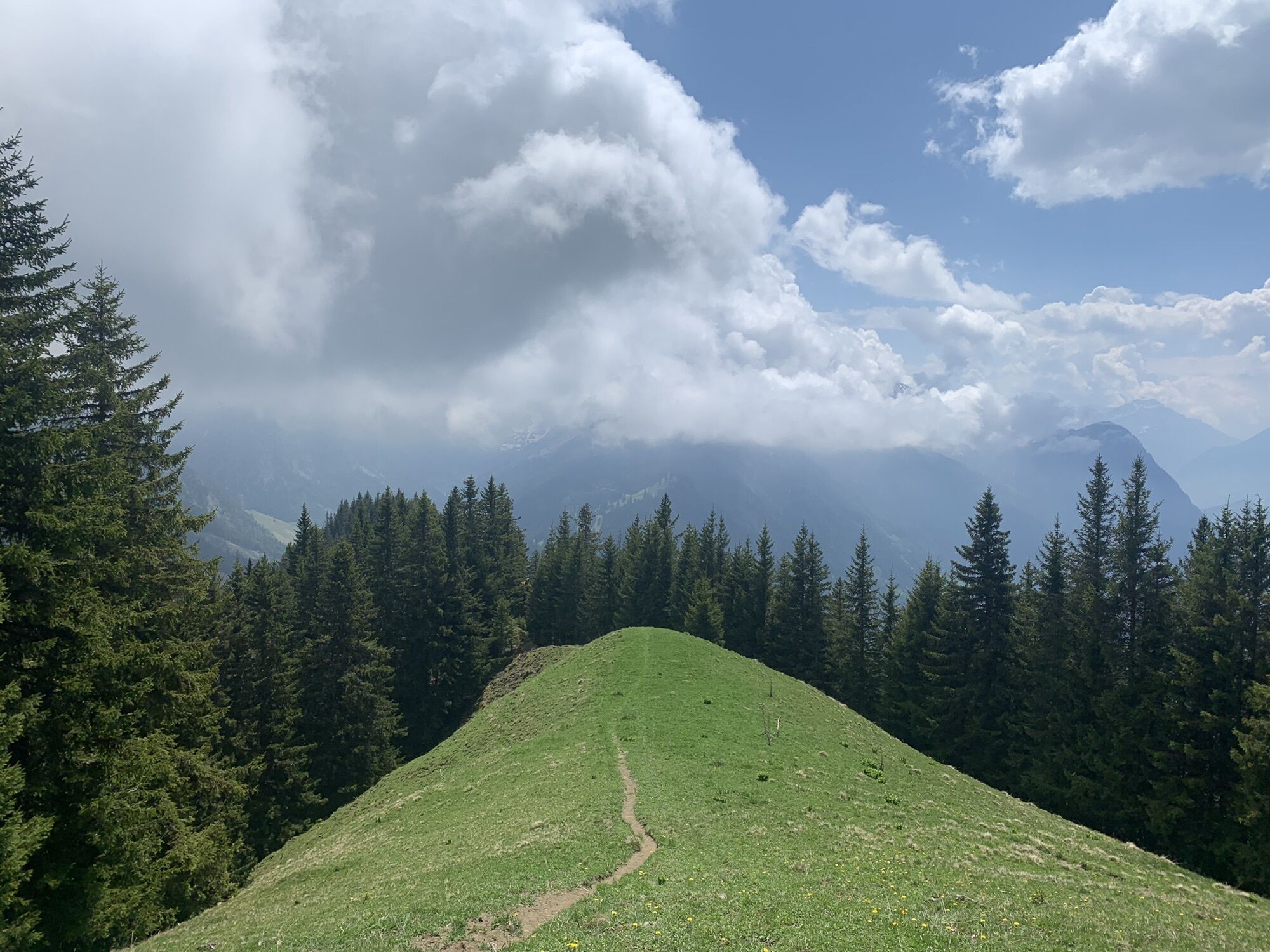
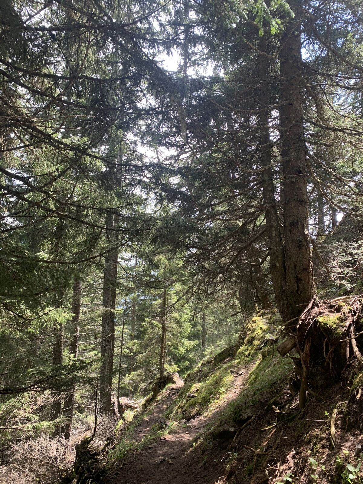
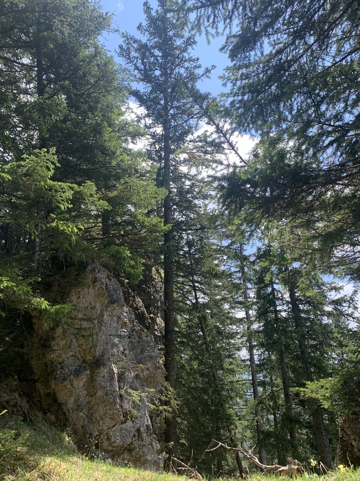
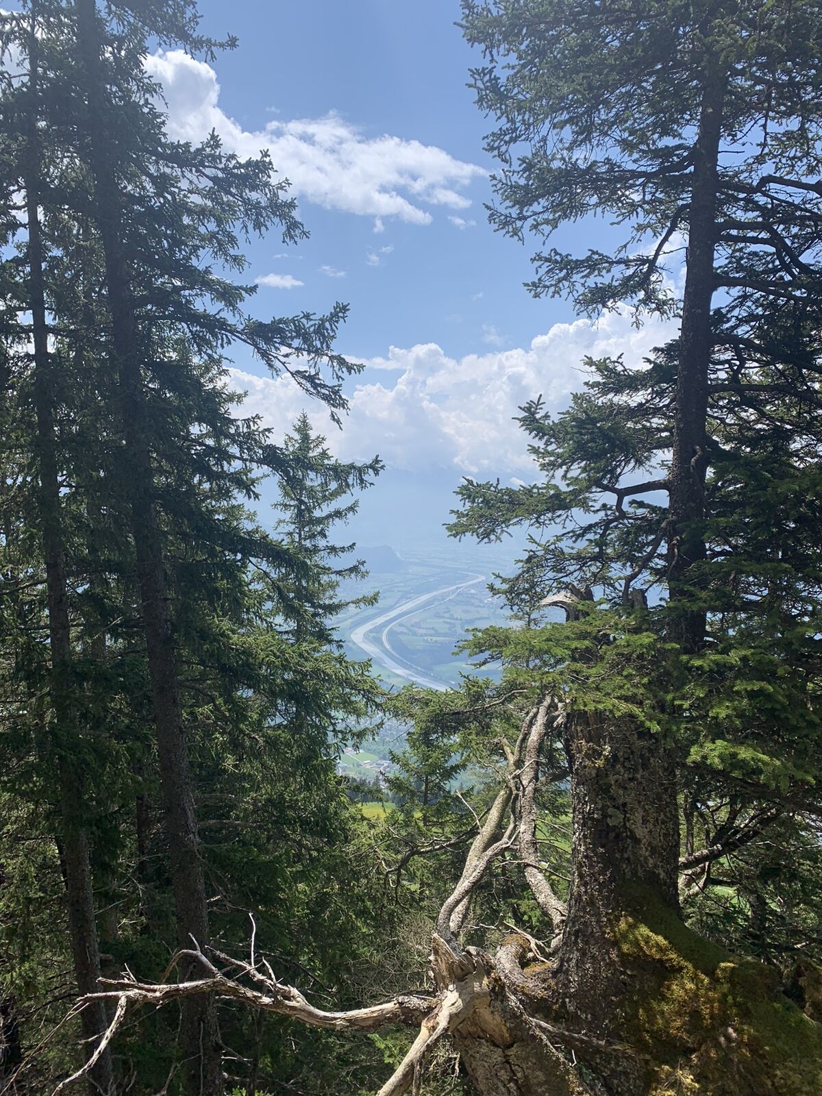
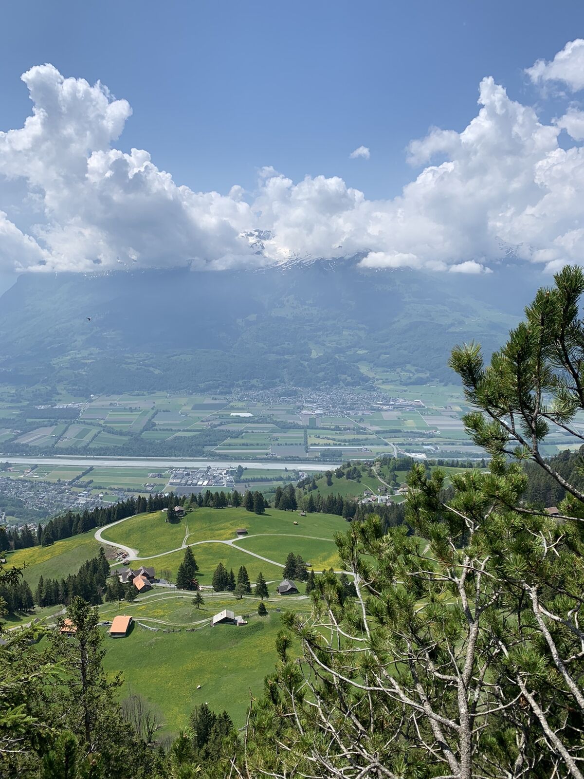
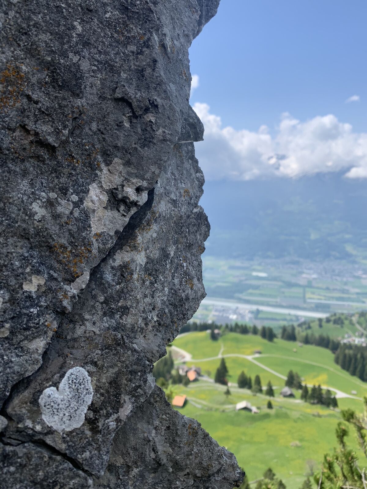
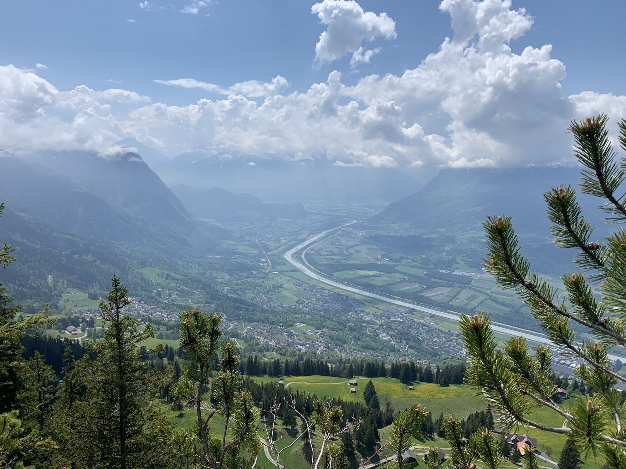
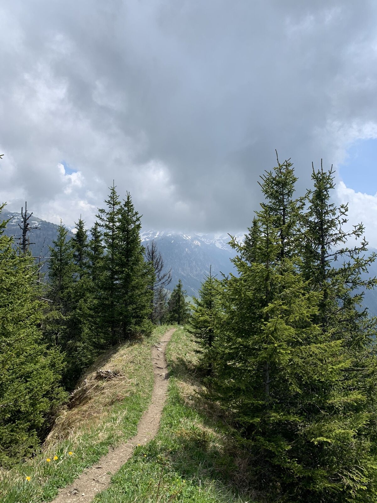
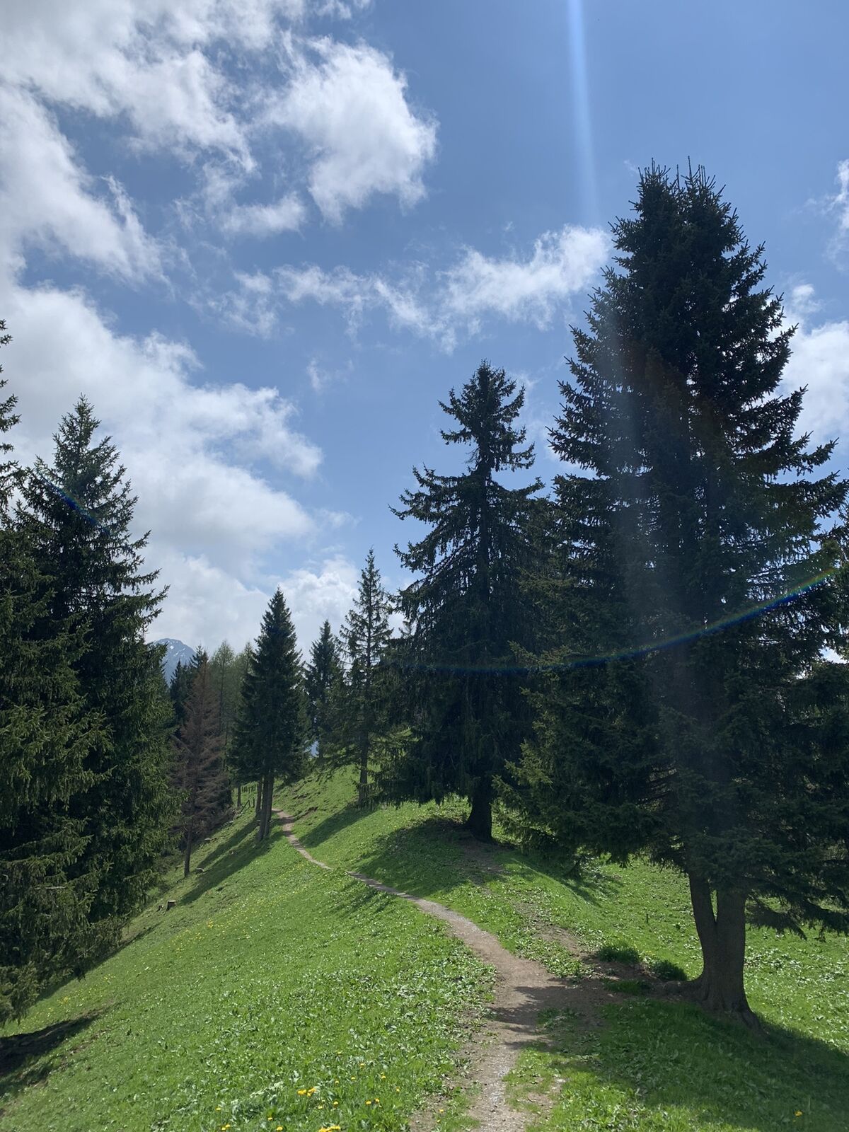
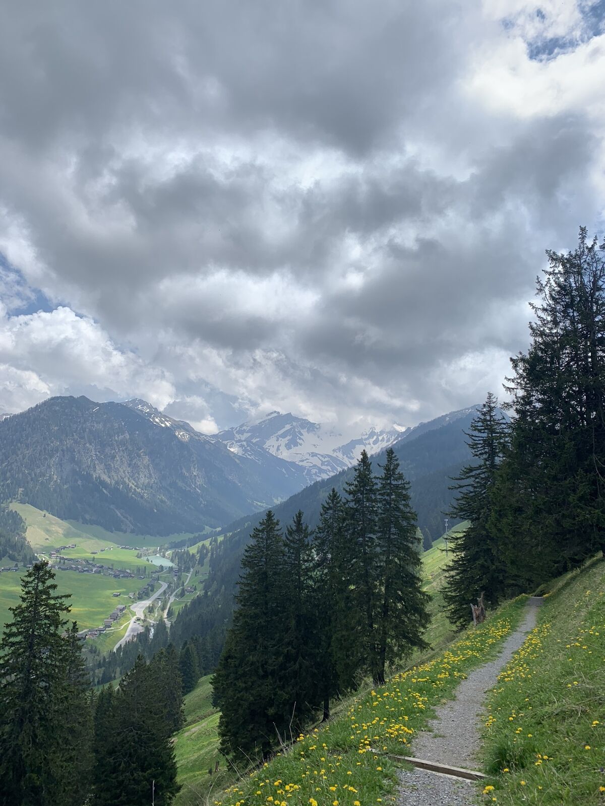
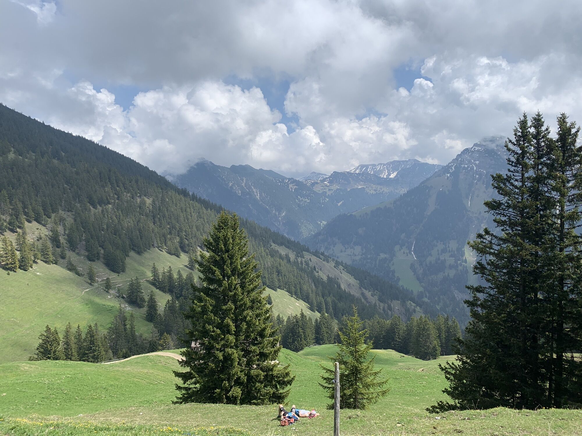
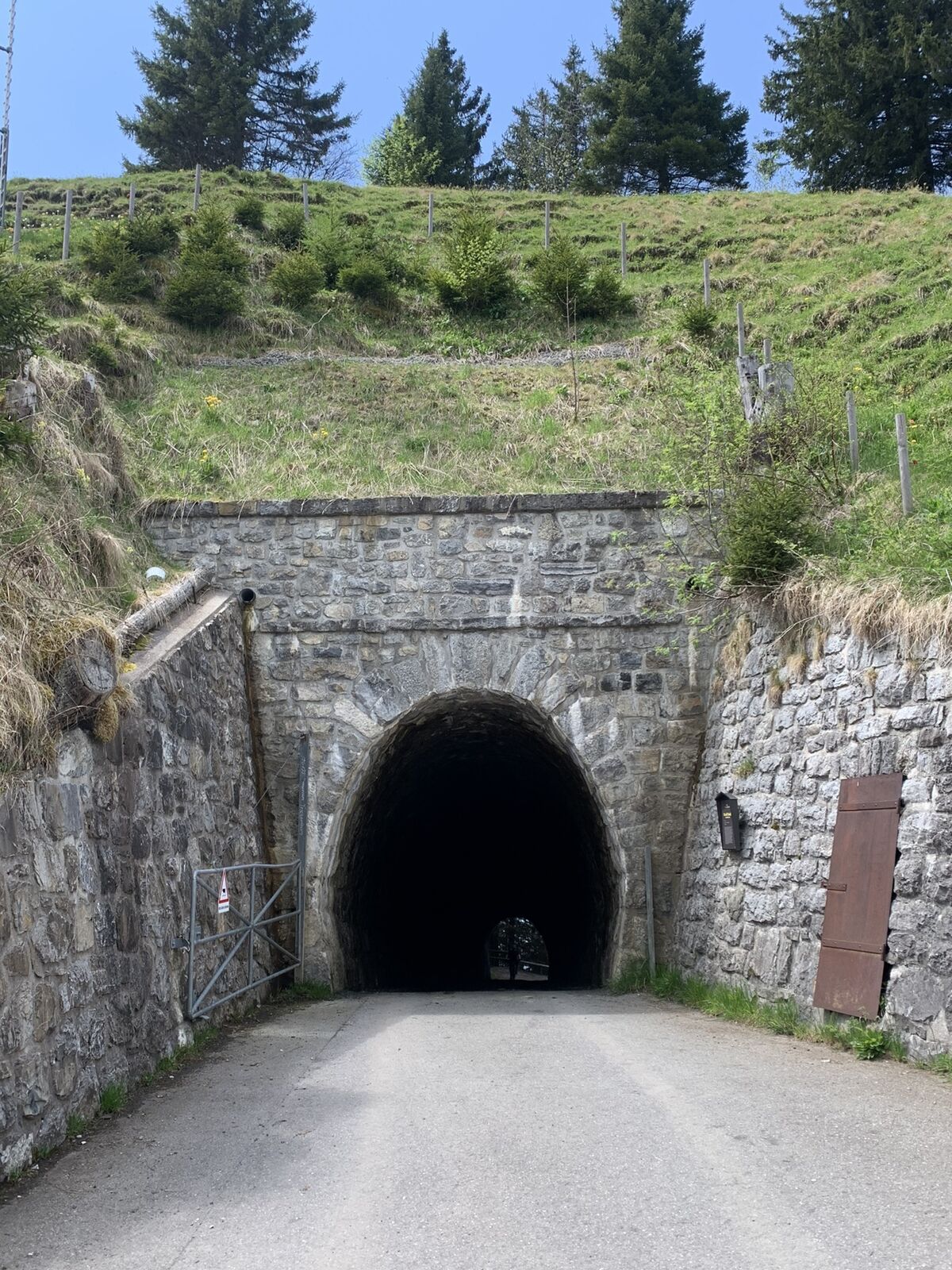
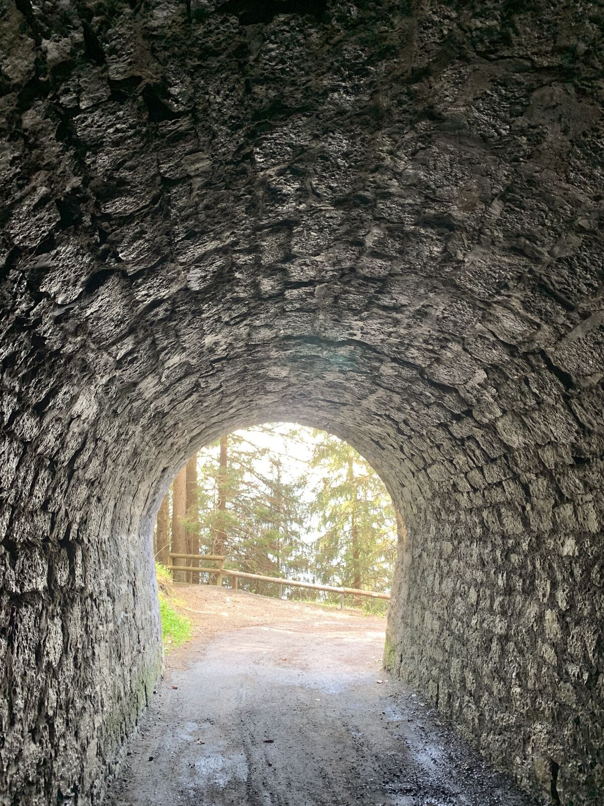
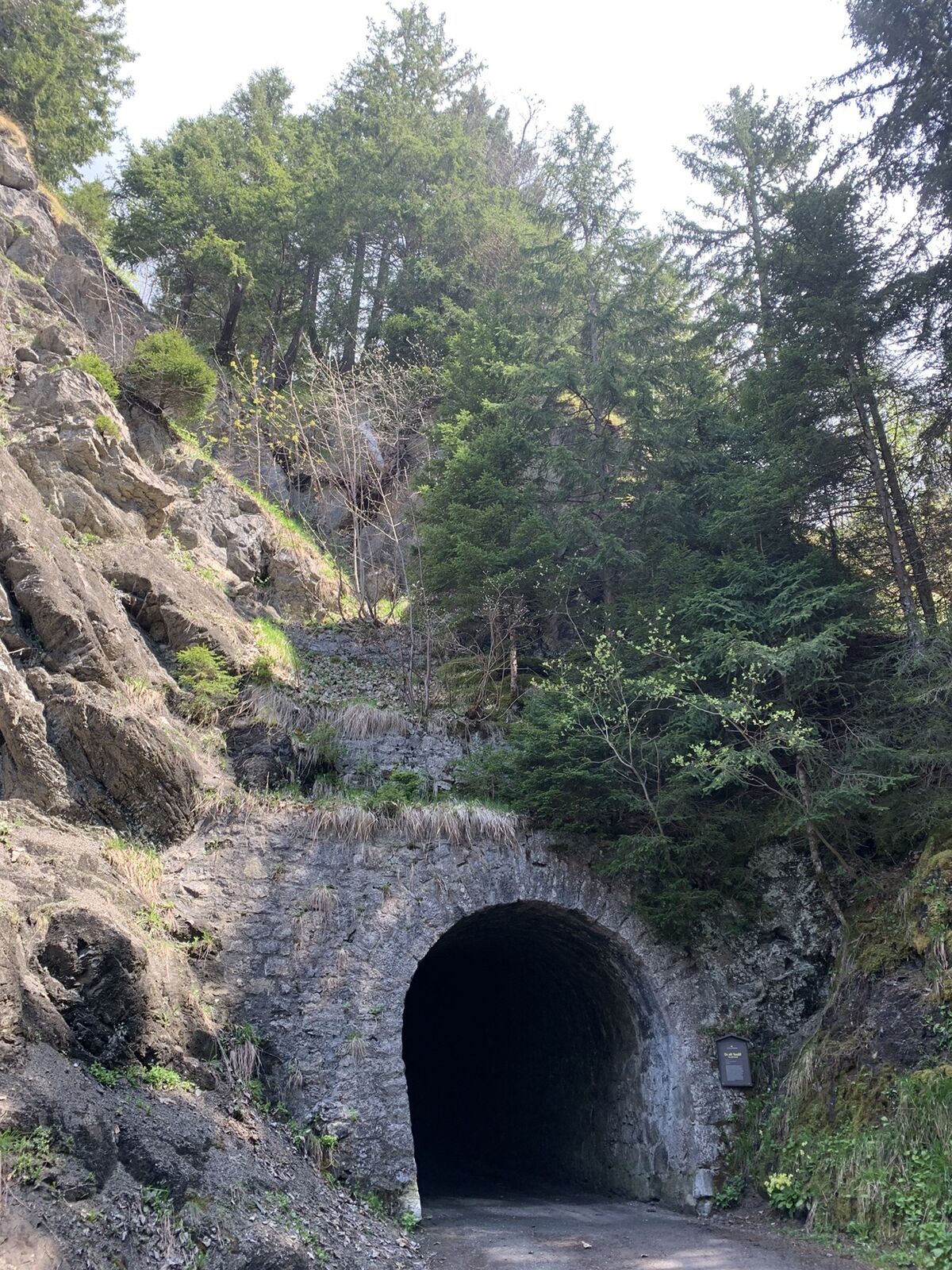
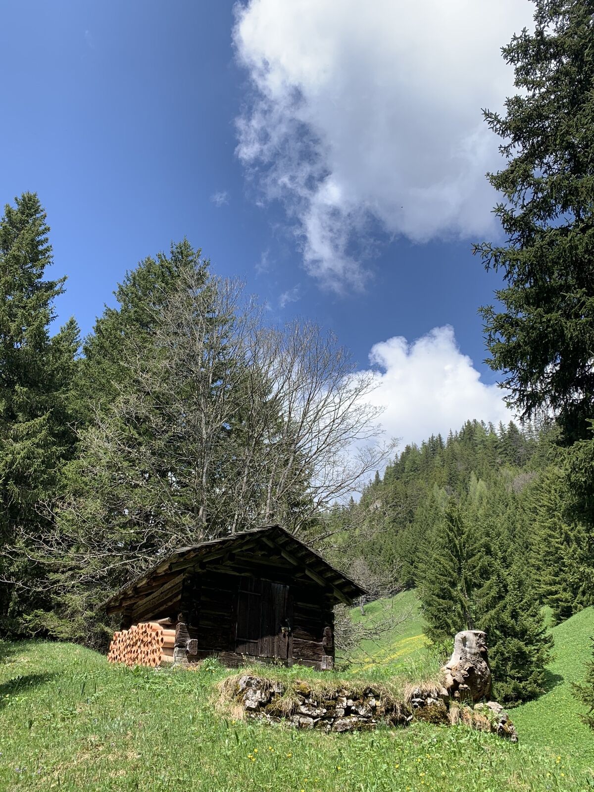
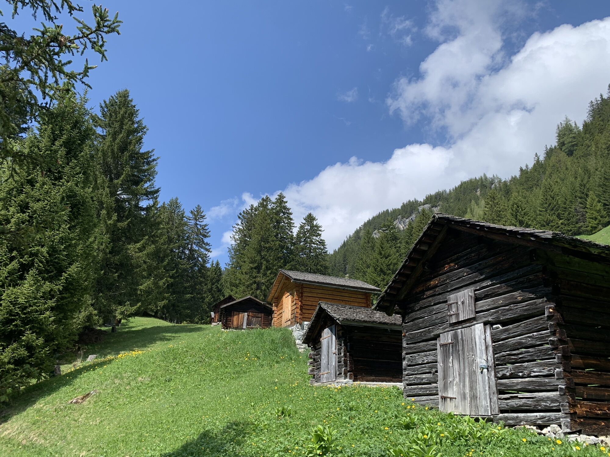
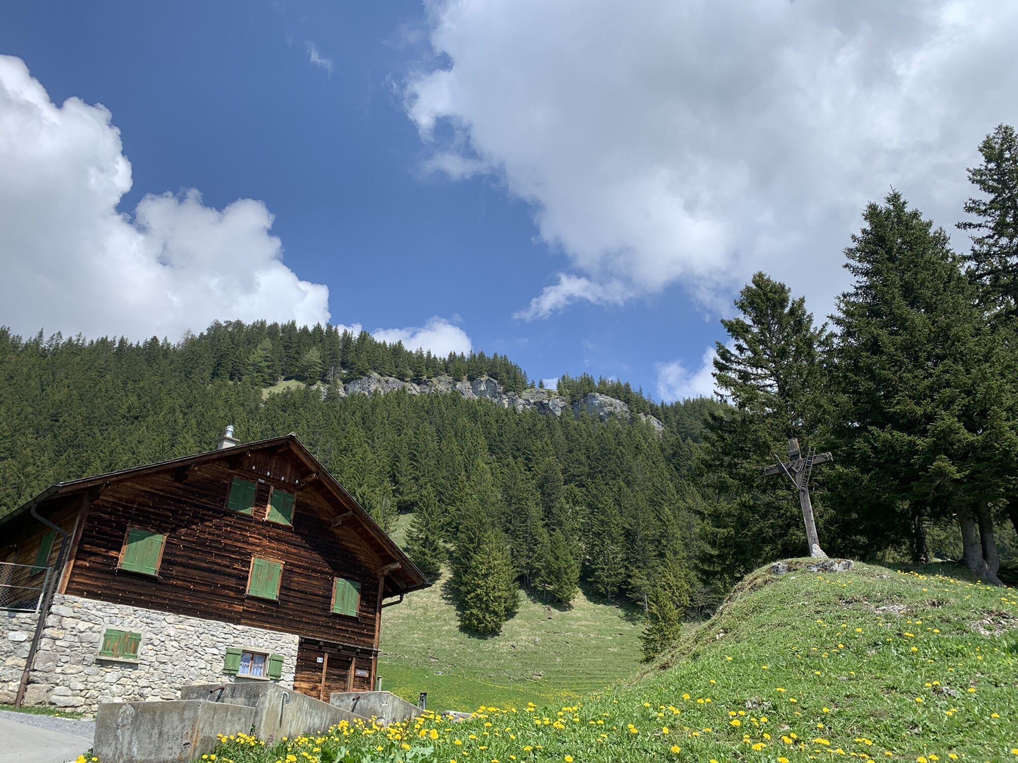
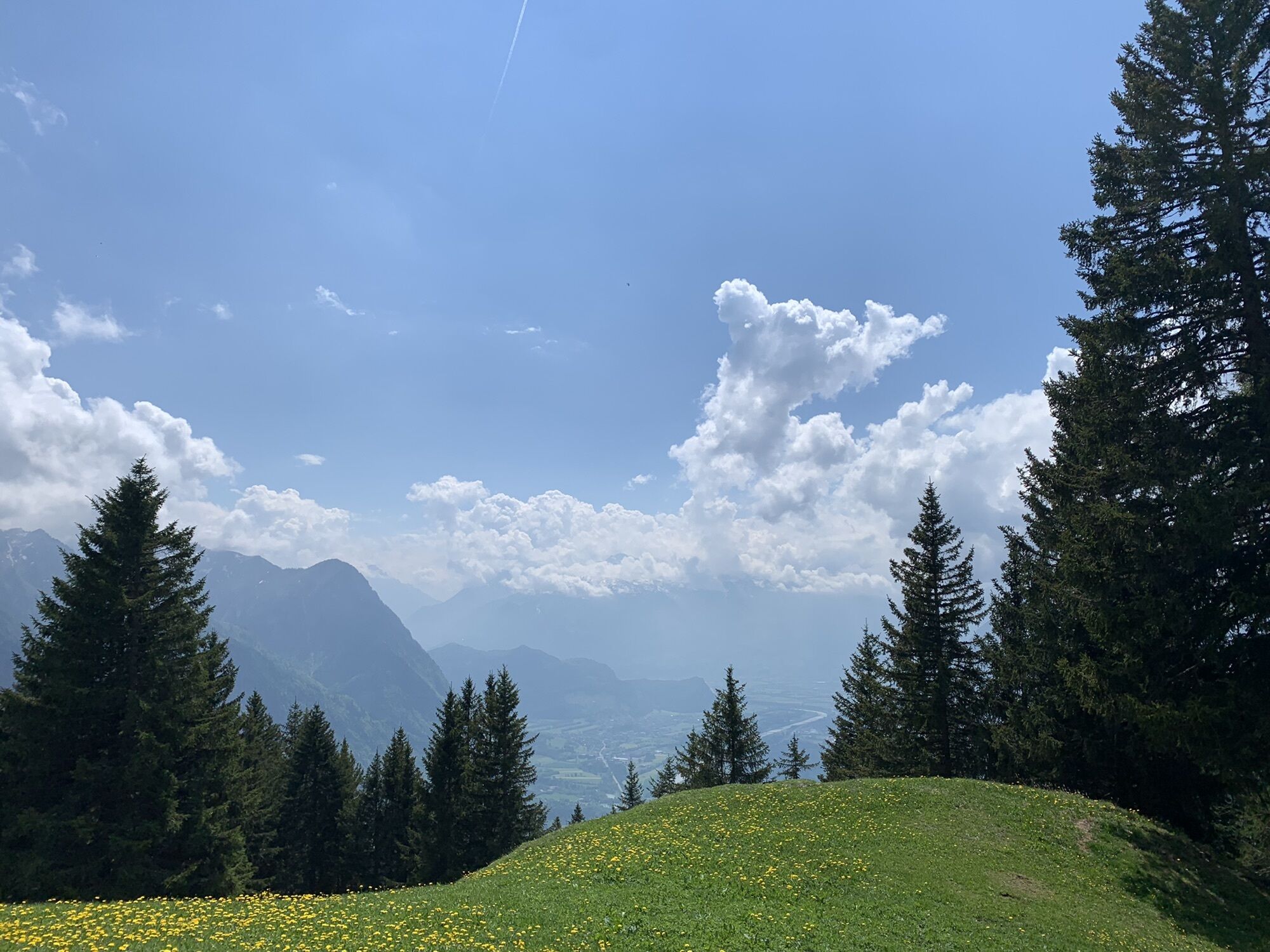
Wanderung Gaflei - Bargällasattel - Plattenspitz - alter Tunnel Steg - Silum - Gaflei

Escursionismo


Dati percorsi
8,46km
1.402
- 1.793m
454hm
461hm
02:00h
- Descrizione rapida
-
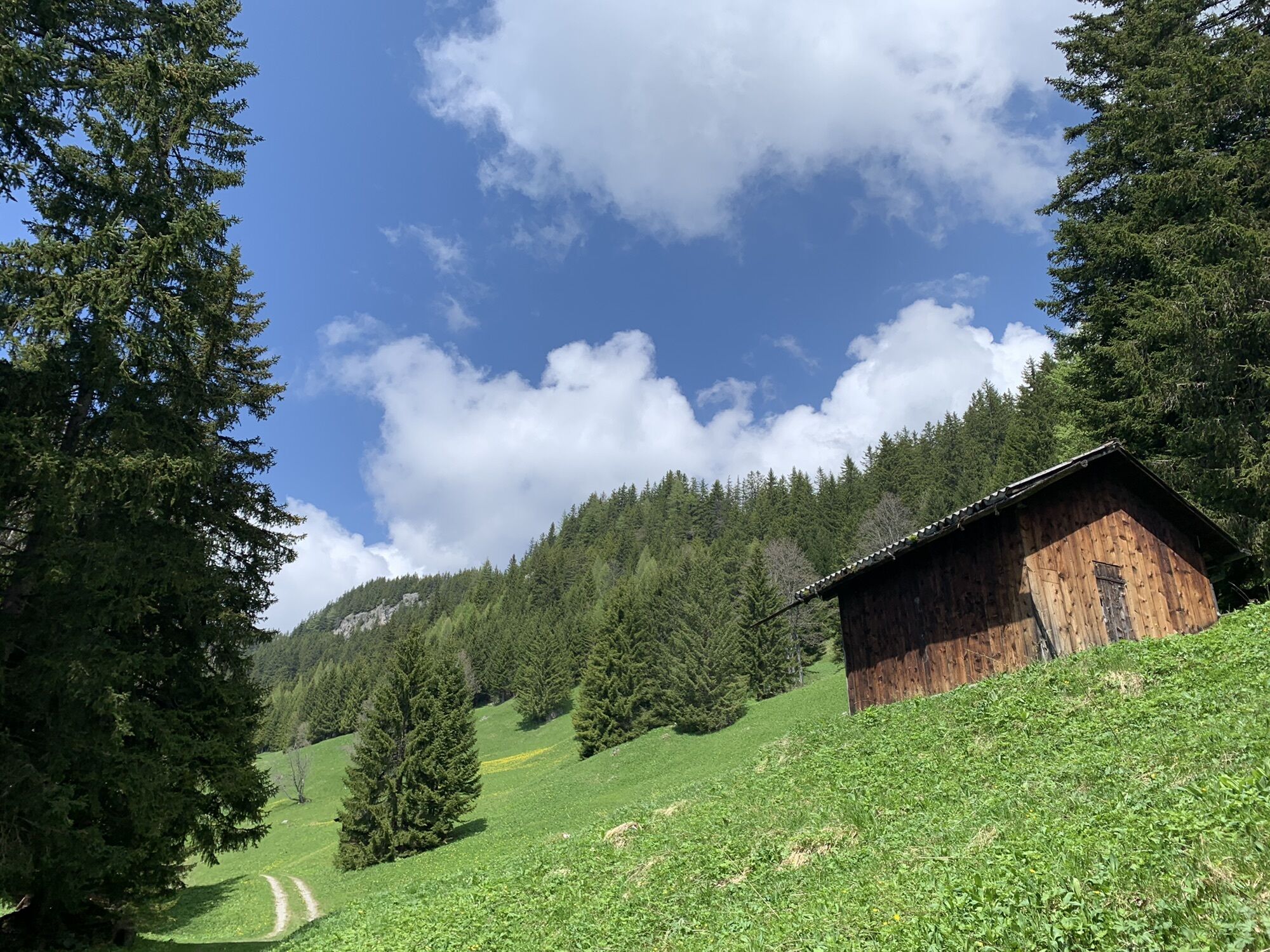
Mittelschwere Wanderung teils abseits sichtbarer Wege. Wanderstöcke empfohlen
- Difficoltà
-
intermedio
- Valutazione
-
- Percorso
-
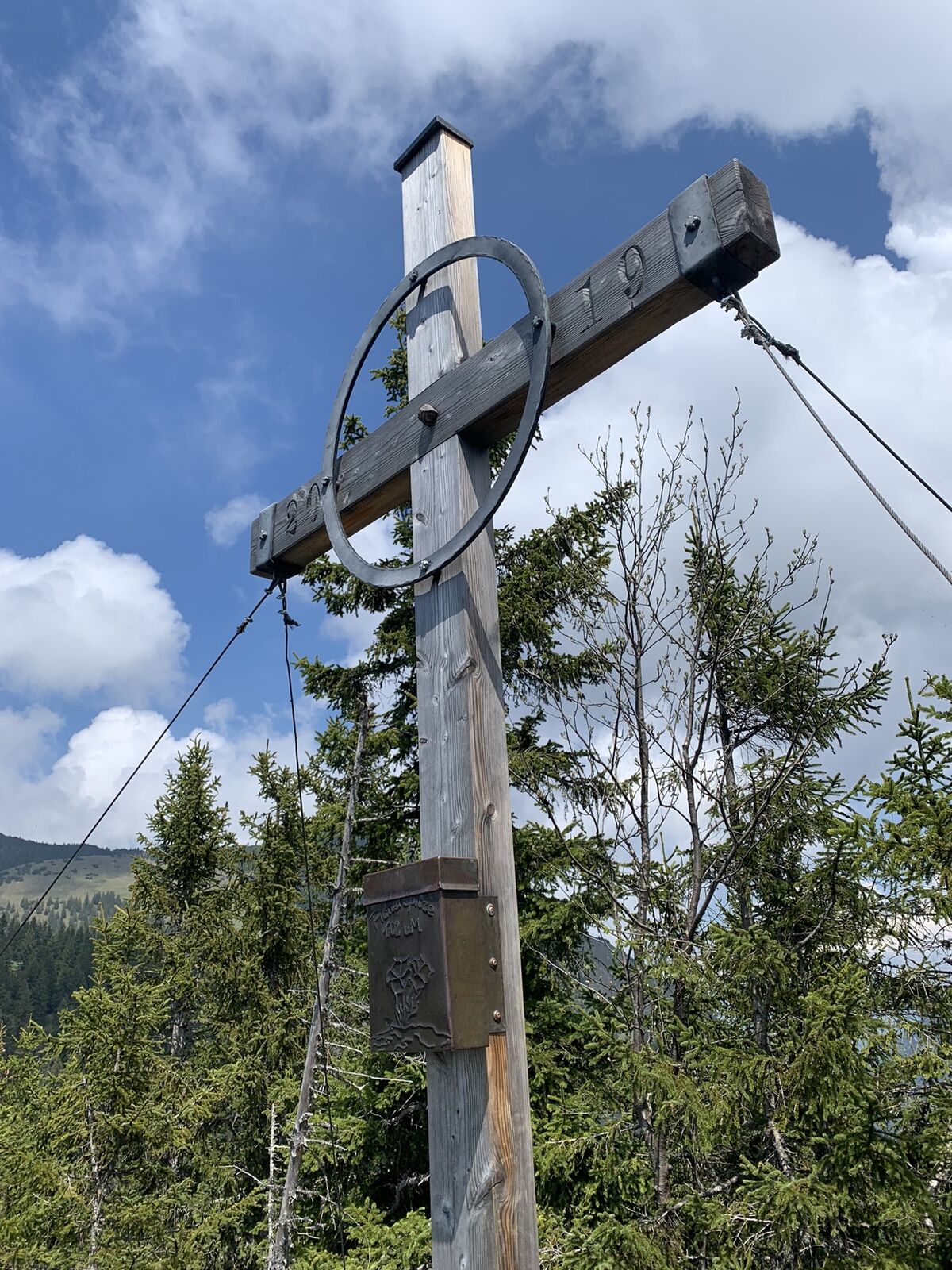
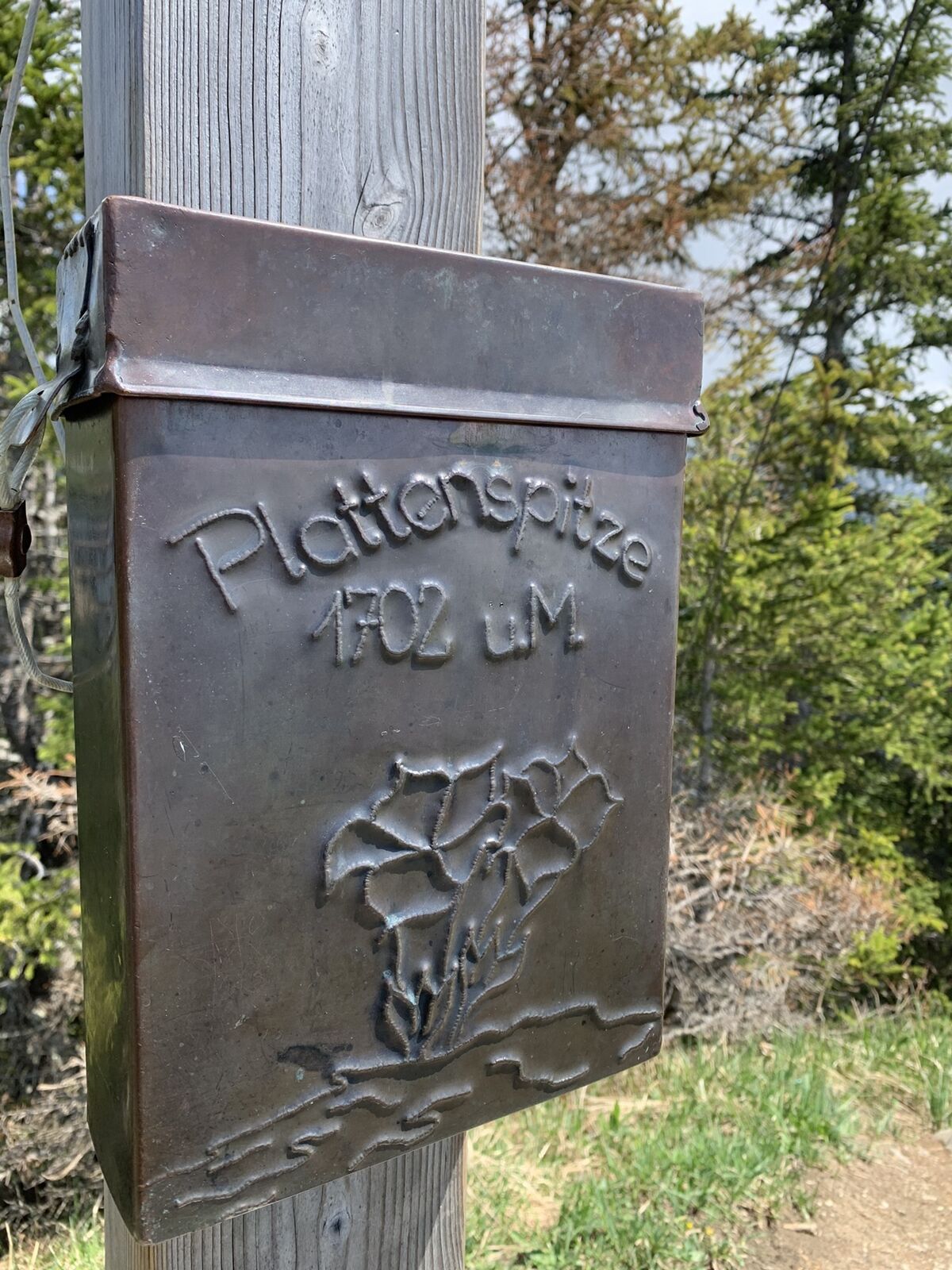
GafleiBargällasattel (1.742 m)1,8 kmPlattenspitz (1.702 m)3,2 kmSilum6,7 kmMasescha7,5 kmBärg8,0 kmGaflei8,4 km
- Punto più alto
- 1.793 m


GPS Downloads


Altri tour nelle regioni
-
Heidiland
2201
-
Liechtenstein
1289
-
Triesenberg
227


