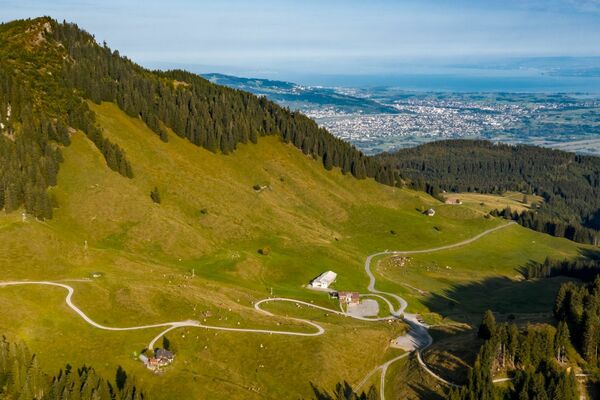
© Liechtenstein Marketing - Tom Jutzler


© Liechtenstein Marketing
- Descrizione rapida
-
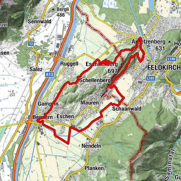
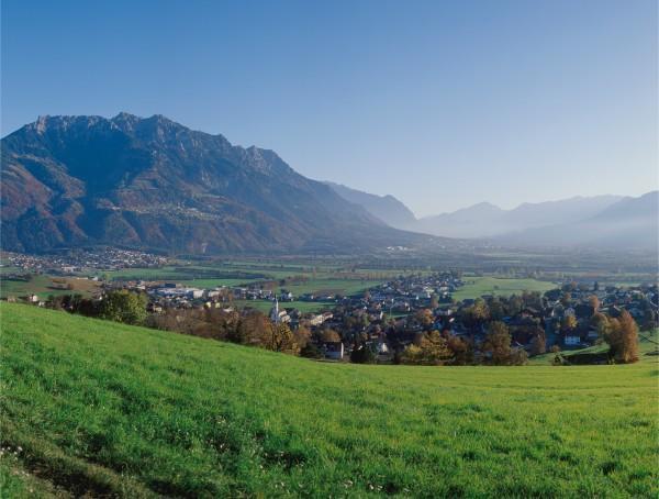
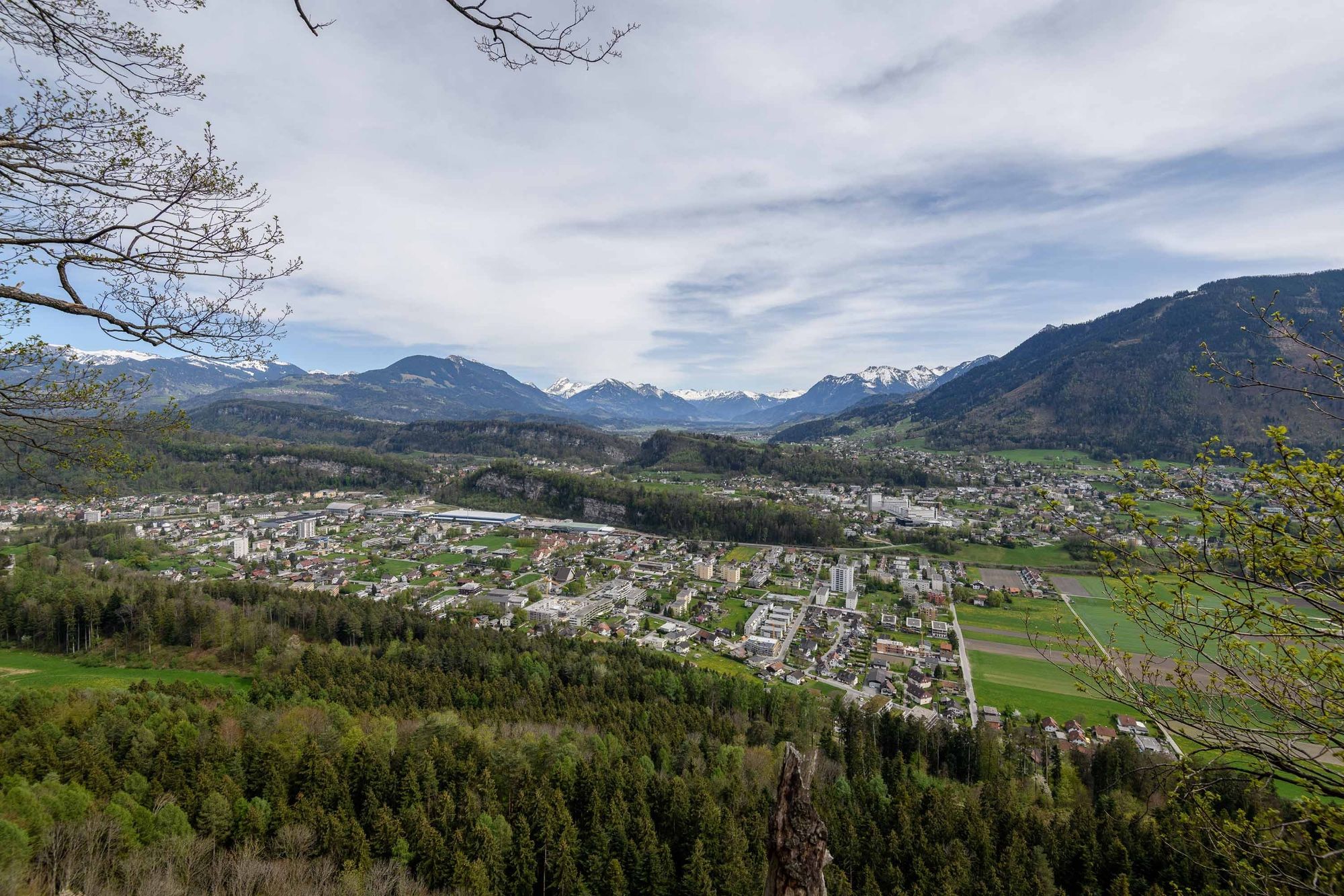
Eschnerberg (Eschen mountain) can be found on the planes of the river Rhine on the north side of Liechtenstein and is surrounded by the five municipalities of the lowland.
- Difficoltà
-
intermedio
- Valutazione
-
- Percorso
-
Lourdes Grotte0,2 kmBendern0,5 kmGamprin (472 m)1,4 kmHinterschellenberg8,2 kmWirtschaft zum Löwen8,5 kmFresch9,5 kmNofels10,7 kmSt. Wolfgang11,5 kmGasthaus Löwen12,0 kmFeldkirch12,1 kmGasthaus zur Eibe13,5 kmBendern24,3 km
- La stagione migliore
-
genfebmaraprmaggiulugagosetottnovdic
- Punto più alto
- 609 m
- Destinazione
-
Bendern
- Profilo altimetrico
-
 © outdooractive.com


-

-
AutoreIl tour Eschnerberg Tour è utilizzato da outdooractive.com fornito.
GPS Downloads


Info generali
Punto di ristoro
Culturale/Storico
Promettente
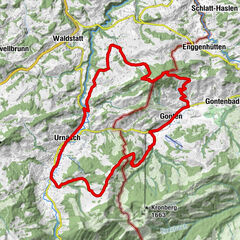
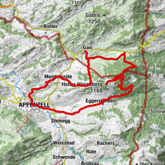
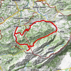
Altri tour nelle regioni
-
Appenzellerland
152
-
Liechtenstein
129
-
Schellenberg
27