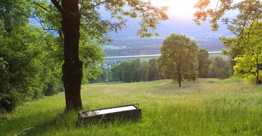
© Liechtenstein Marketing
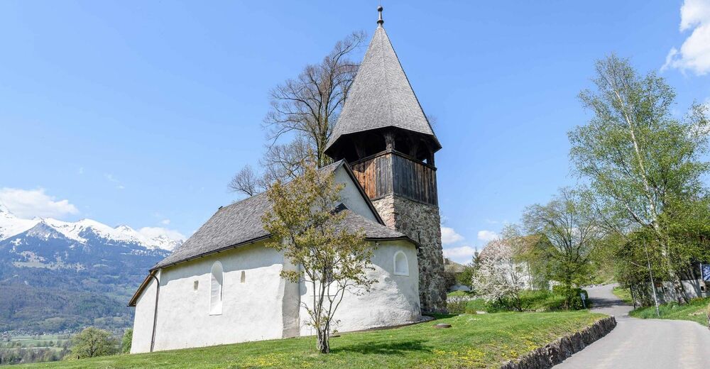
© Liechtenstein Marketing - Martin Knöpfel
© Liechtenstein Marketing
© Liechtenstein Marketing

- Descrizione rapida
-
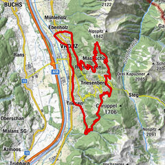
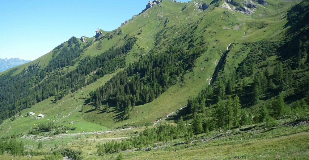
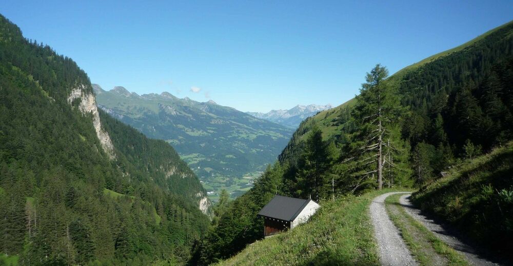
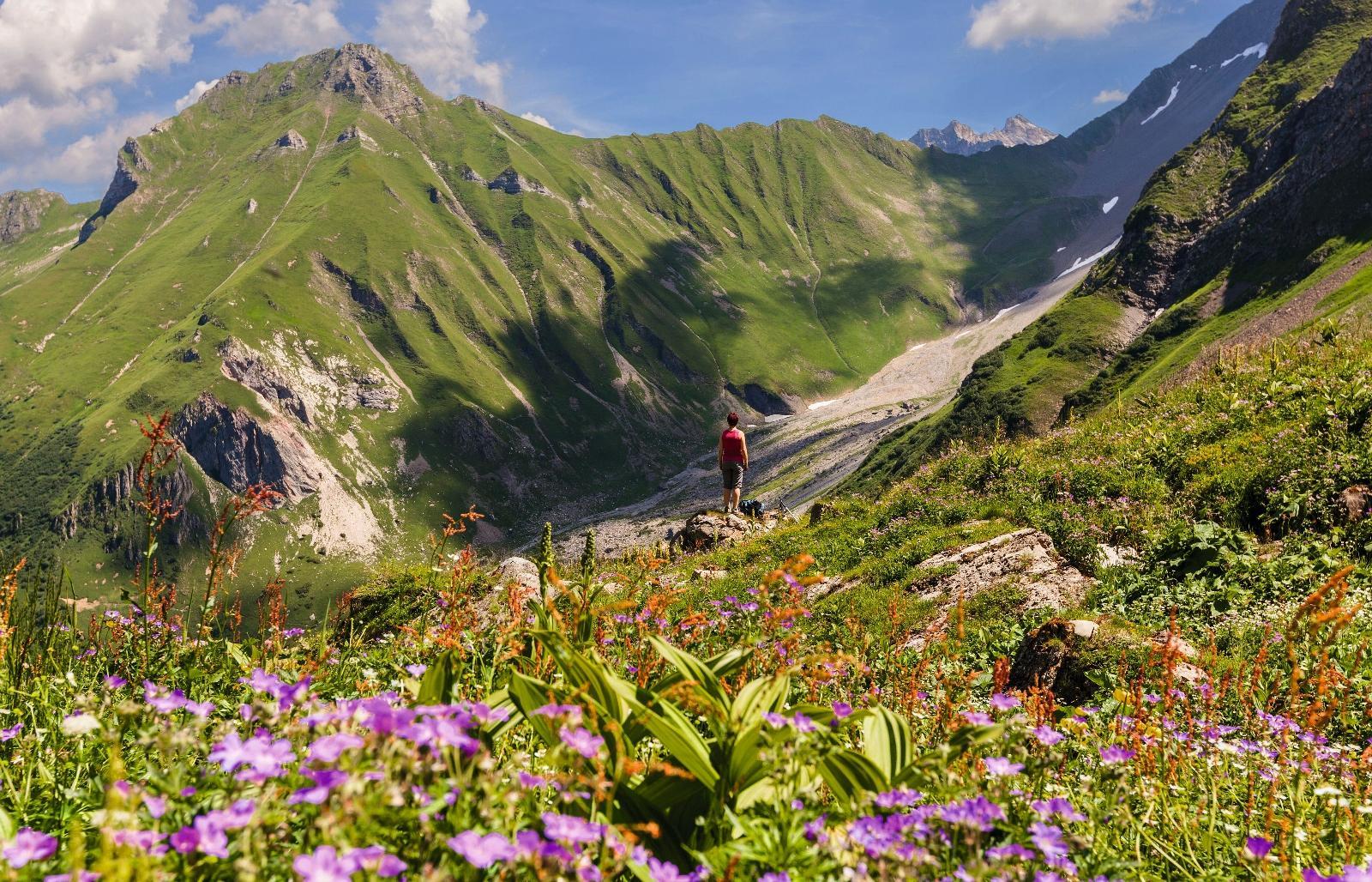
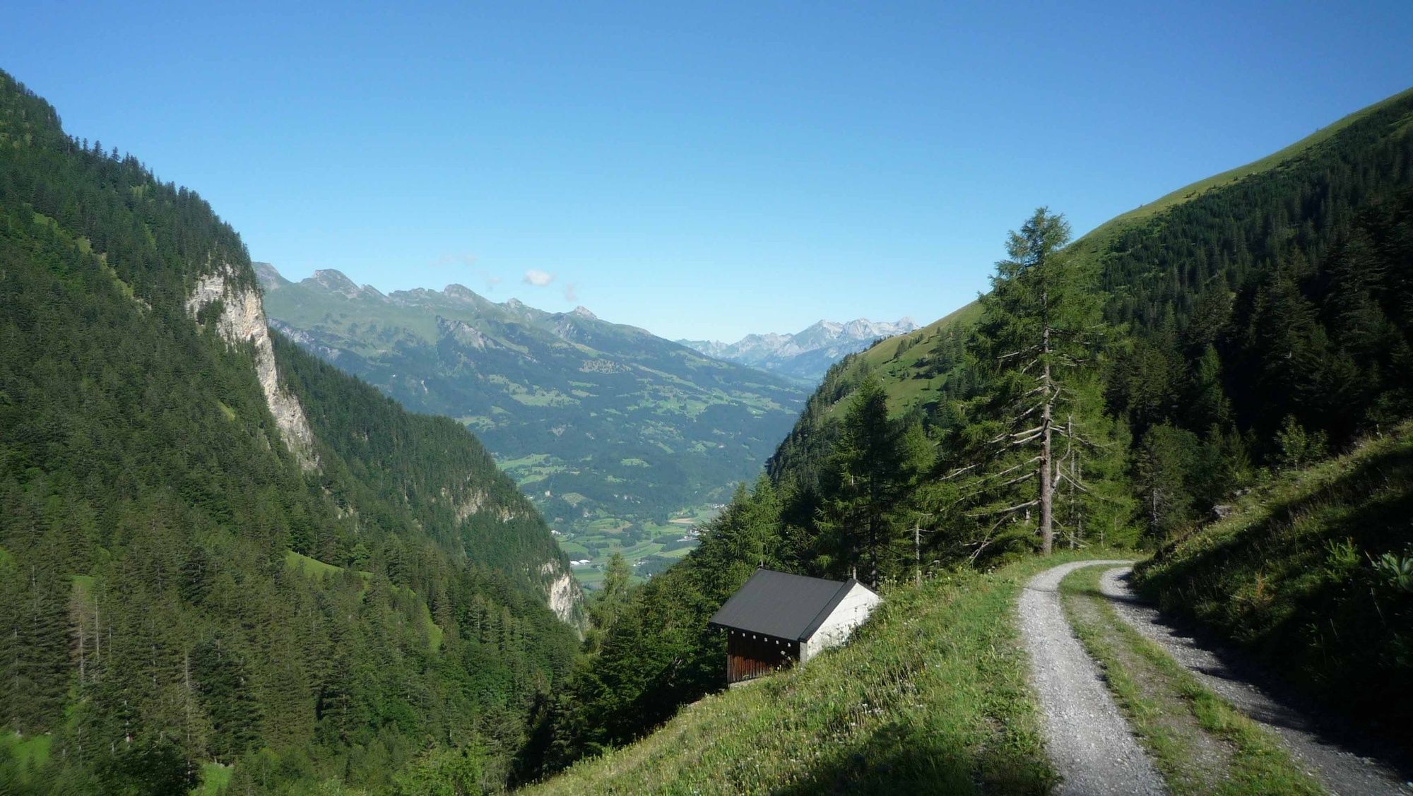
Good condition and stamina are required for this tour at an altitude of about 1000 meters between Triesen and Alp Lawena.
- Difficoltà
-
intermedio
- Valutazione
-
- Percorso
-
Triesen (512 m)0,6 kmOberdorf0,9 kmLawena9,1 kmOberdorf17,3 kmTriesen (512 m)17,7 km
- La stagione migliore
-
genfebmaraprmaggiulugagosetottnovdic
- Punto più alto
- 1.524 m
- Destinazione
-
Triesen
- Profilo altimetrico
-
 © outdooractive.com

-

-
AutoreIl tour Lawena Tour è utilizzato da outdooractive.com fornito.
GPS Downloads


Info generali
Punto di ristoro
Suggerimento
Promettente
Altri tour nelle regioni
-
Heidiland
336
-
Liechtenstein
129
-
Triesen
33
")