Beautiful demanding round tour on Mt Visočica from Tušila to Džamija

Escursionismo

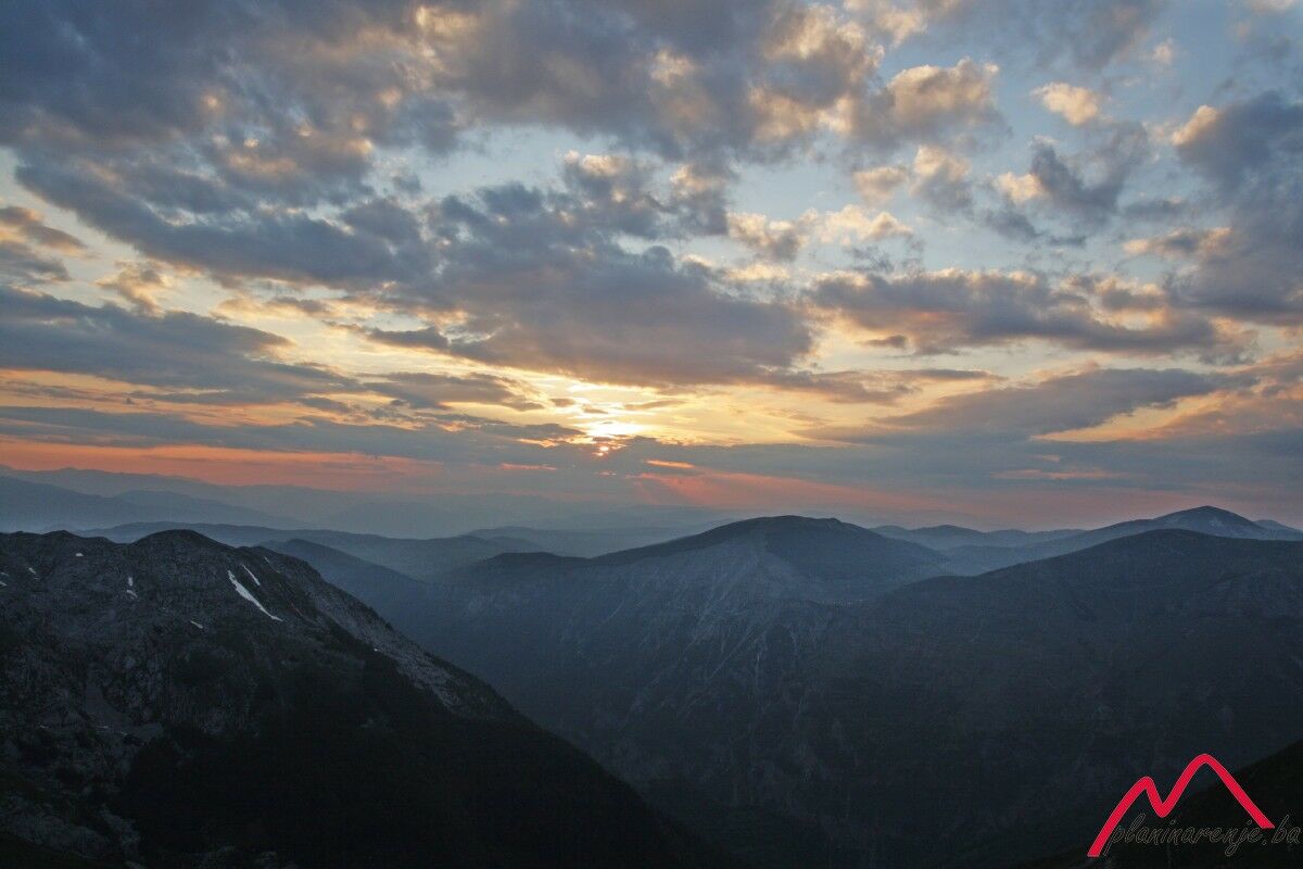
© Terra Dinarica - planinarenje .ba

© Terra Dinarica - planinarenje .ba

© Terra Dinarica - planinarenje .ba

© Terra Dinarica - planinarenje .ba

© Terra Dinarica - planinarenje .ba

- Descrizione rapida
-
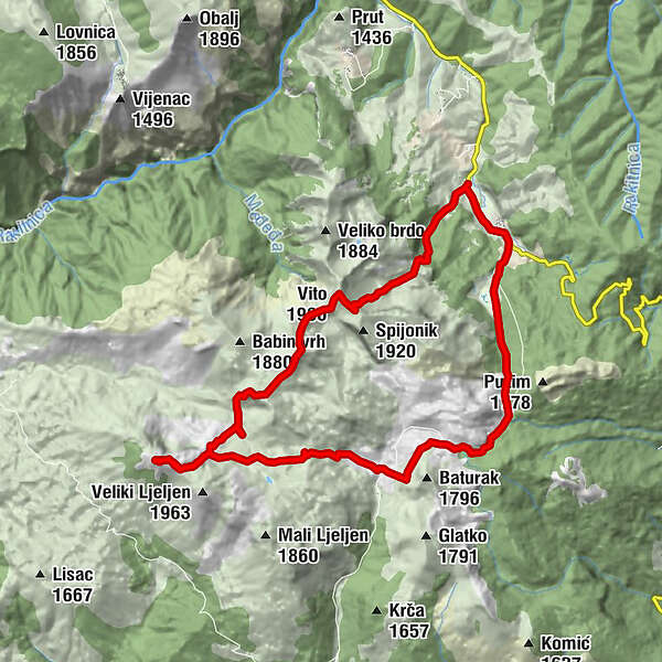
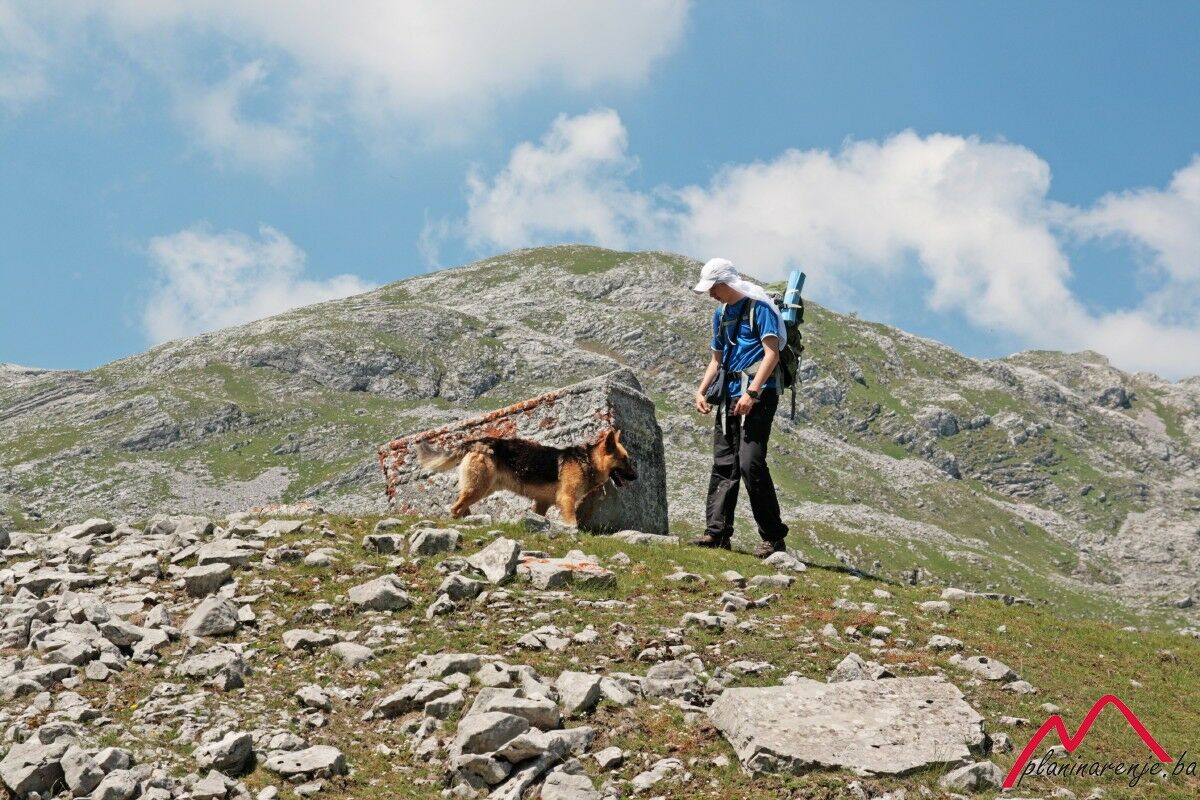
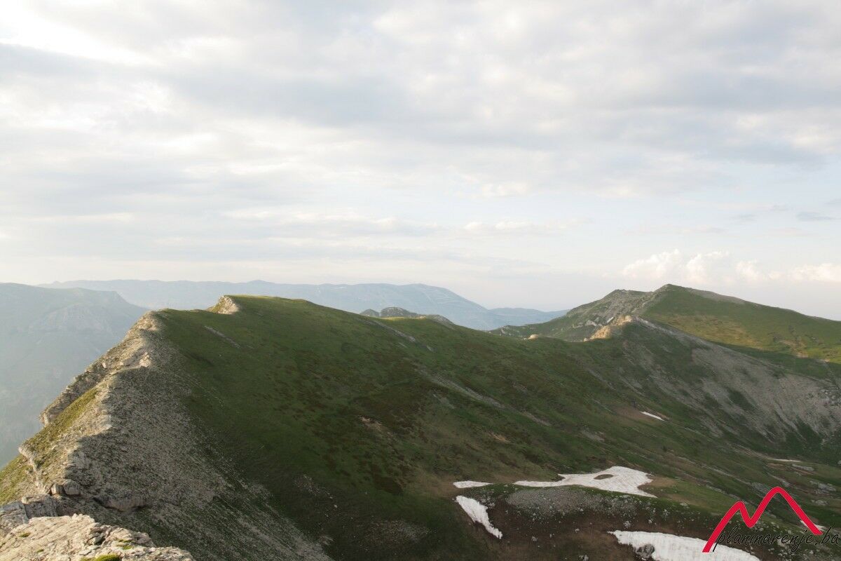
This is a rather strenuous round walk which requires a high level of fitness. You will cover over 20 km and climb over 1300m in altitude.
- Percorso
-
TušilaRestoran Visočica0,0 kmMandino Vrelo4,8 kmDžamija (1.967 m)11,9 kmParič (1.941 m)16,1 kmDelelaš16,6 kmVito (1.960 m)17,5 kmRestoran Visočica21,1 kmTušila21,2 km
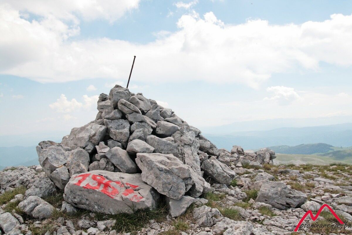
- Punto più alto
- 1.950 m
- Destinazione
-
Džamija peak
- Profilo altimetrico
-
 © outdooractive.com

-

-
AutoreIl tour Beautiful demanding round tour on Mt Visočica from Tušila to Džamija è utilizzato da outdooractive.com fornito.