© Terra Dinarica - planinarenje .ba
© Terra Dinarica - planinarenje .ba
© Terra Dinarica - planinarenje .ba
© Terra Dinarica - planinarenje .ba
© Terra Dinarica - planinarenje .ba


- Descrizione rapida
-
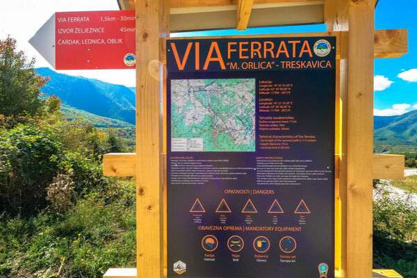
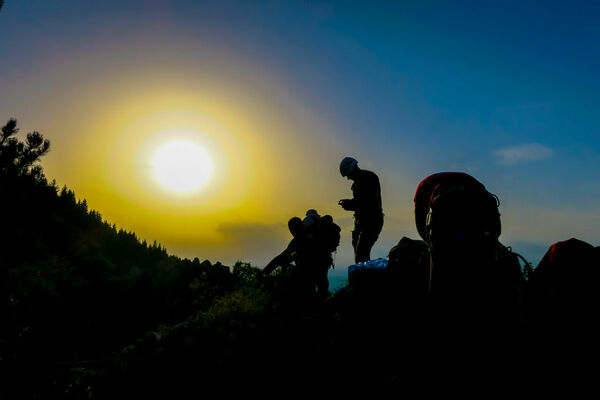
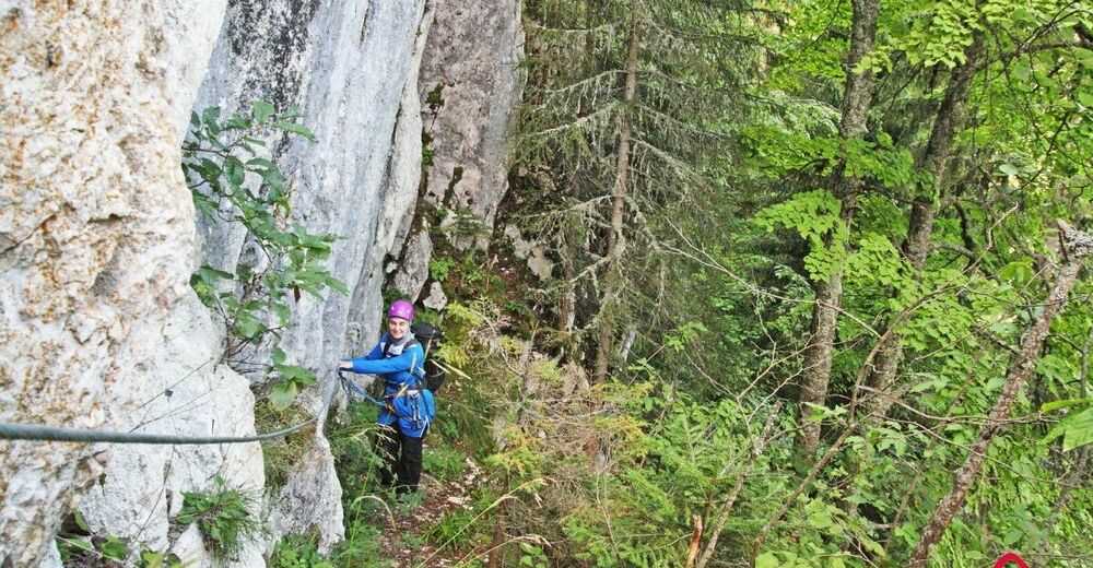
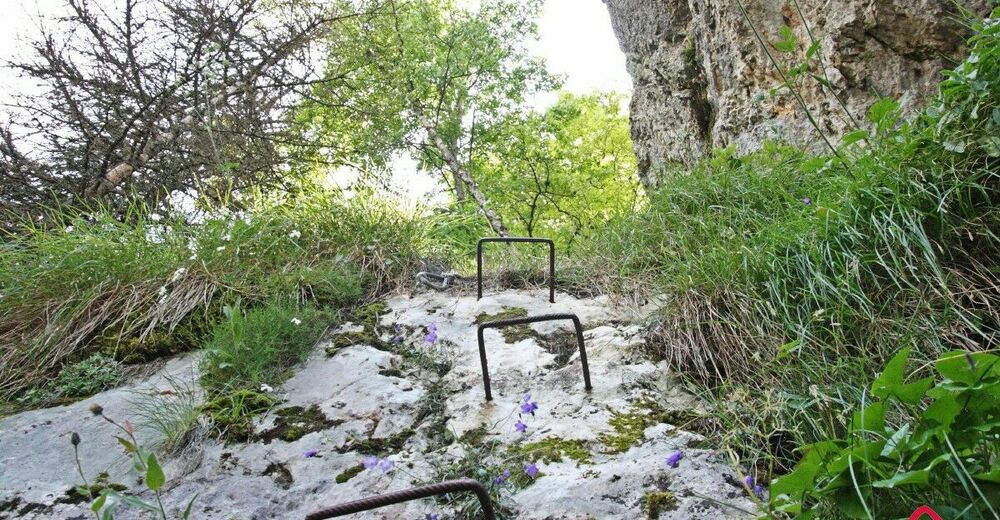
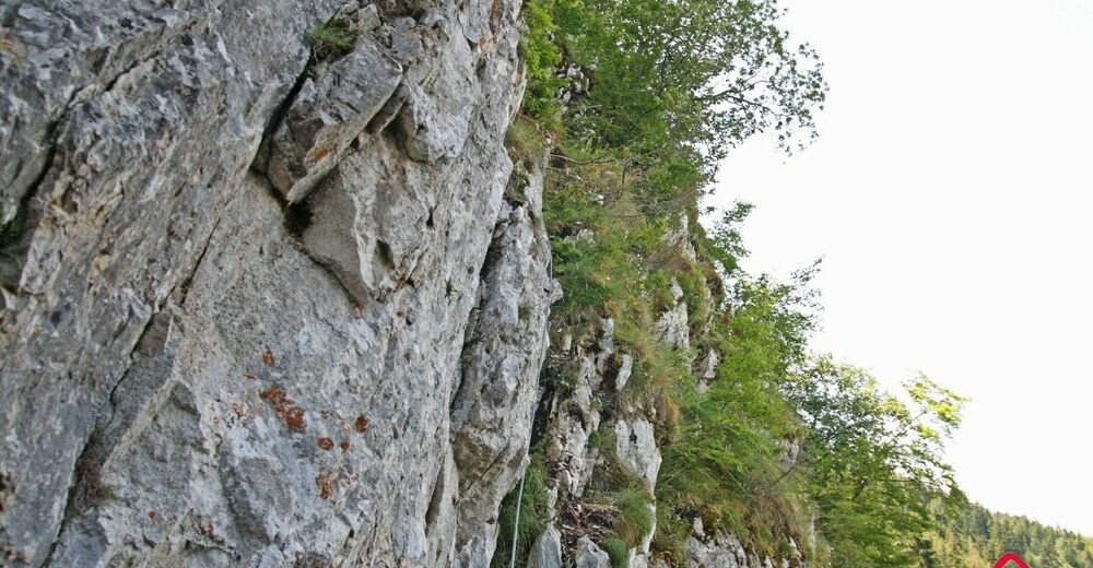
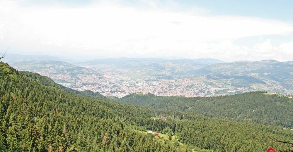
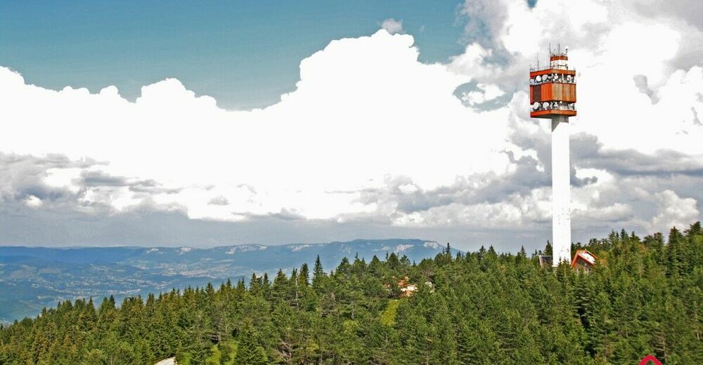
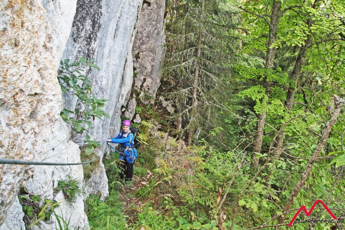
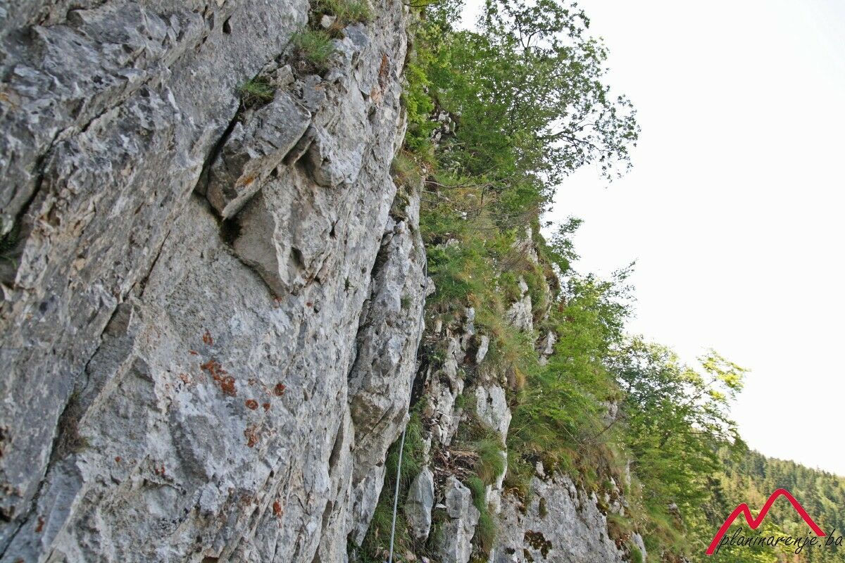
It is a pleasant route, with short but rather attractive feratta. View from the rock is beautiful and it encompasses Romanija to the east, Bukovik to the north and the city of Sarajevo. From the summit of Trebević, Sofe, the view extends even further: climbing the western ridge allows for the view of an entire area of Sarajevo. The reward comes in form of an attractive ridge on the Sofe summit which offers a view of the major area of Bosnia and Herzegovina. Pleasant easily traversable return route via serpentine trails across coniferous forests allows for gradual descent from moderately high altitude.
- Percorso
-
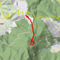
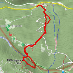
PD Napredak0,0 kmPD Trebević0,6 kmBijele stijene (1.426 m)1,1 kmBijela stijena (1.428 m)1,2 kmTrebević-Sofe (1.627 m)3,3 kmPD Dobre vode5,8 kmTri Budalaša6,4 kmBijela stijena (1.428 m)6,7 kmPD Trebević6,9 kmPD Napredak7,5 km
- Punto più alto
- 1.599 m
- Destinazione
-
Baščaršija, Latinska ćuprija
- Profilo altimetrico
-
 © outdooractive.com


-

-
AutoreIl tour Trebević ferata è utilizzato da outdooractive.com fornito.