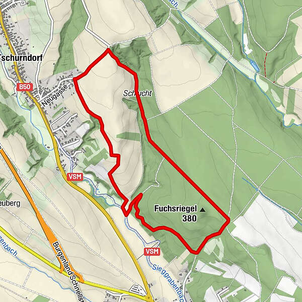
Dati percorsi
5,13km
320
- 396m
87hm
90hm
00:58h
- Difficoltà
-
facile
- Valutazione
-
- Percorso
-
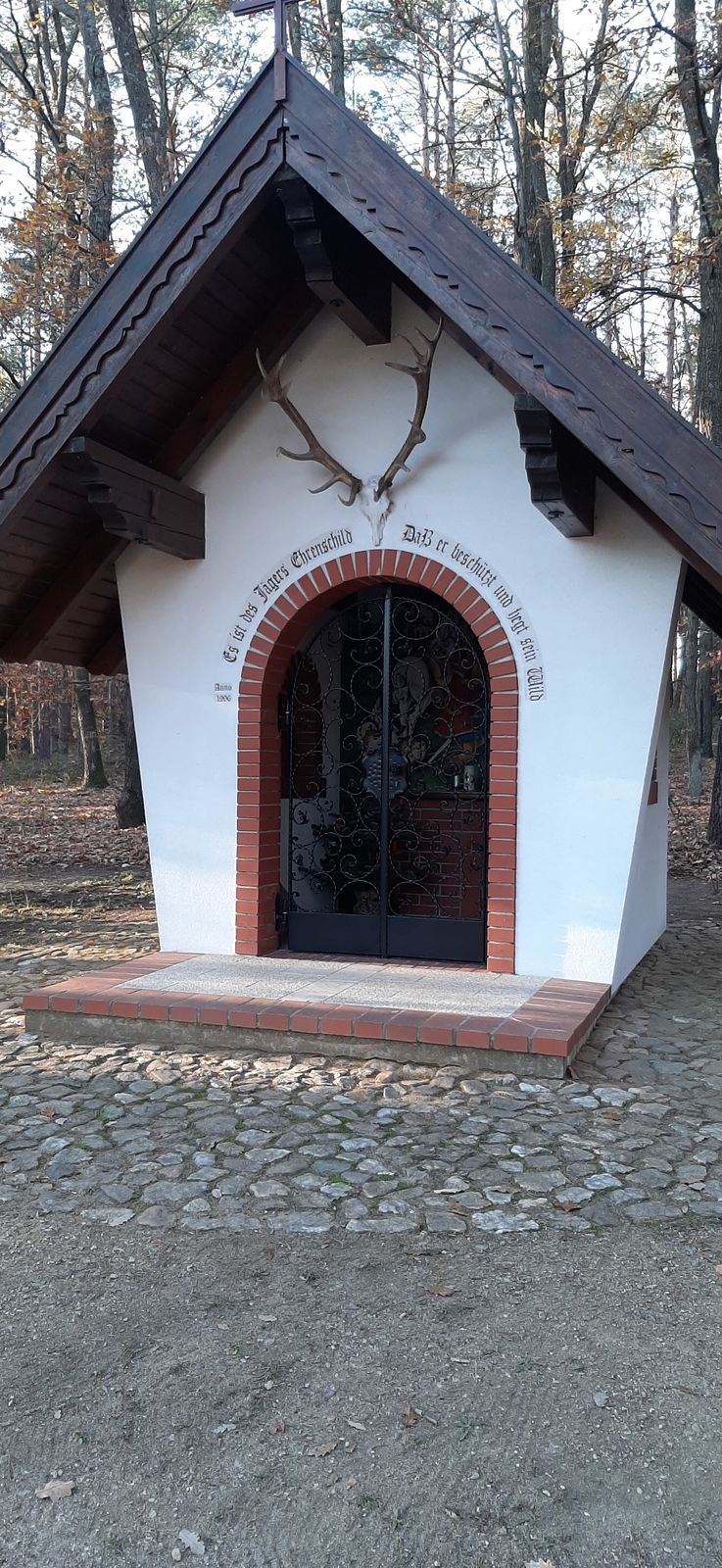
TschurndorfHubertuskapelle1,4 kmFuchsriegel (380 m)2,0 kmTschurndorf5,0 km
- La stagione migliore
-
genfebmaraprmaggiulugagosetottnovdic
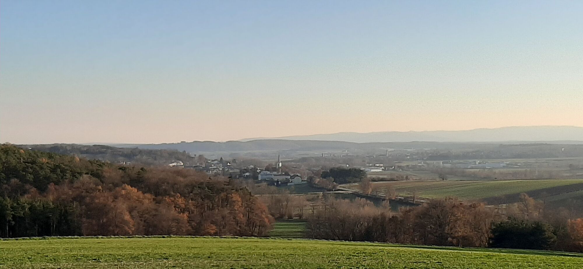
- Punto più alto
- 396 m


GPS Downloads


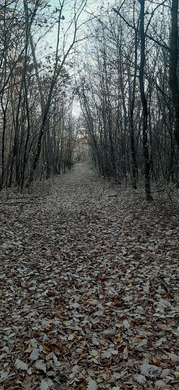
Condizioni dei sentieri
Asfalto
Ghiaia
Prato
Foresta
Roccia
Esposta
Altri tour nelle regioni
-
Wiener Alpen
3048
-
Sonnenland Mittelburgenland
460
-
Weppersdorf
86