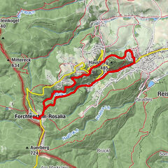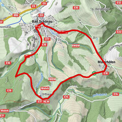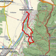
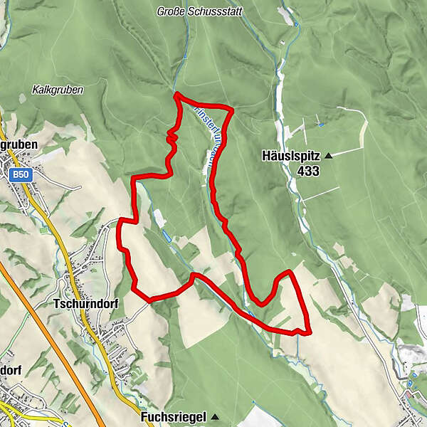
Dati percorsi
10,54km
345
- 422m
124hm
125hm
02:02h
- Difficoltà
-
facile
- Valutazione
-
- La stagione migliore
-
genfebmaraprmaggiulugagosetottnovdic
- Punto più alto
- 422 m
- Riposo/Ritiro
-
nein
GPS Downloads


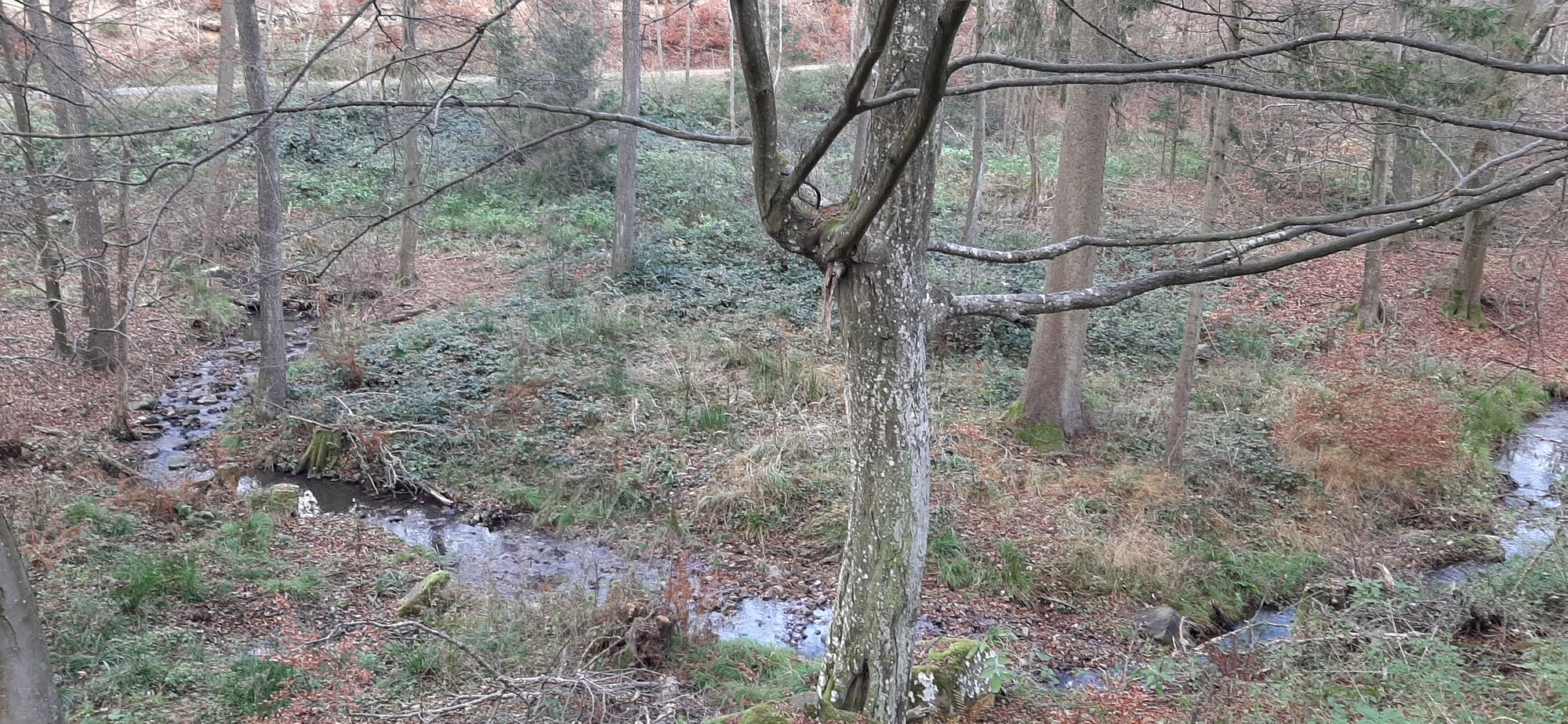
Condizioni dei sentieri
Asfalto
Ghiaia
Prato
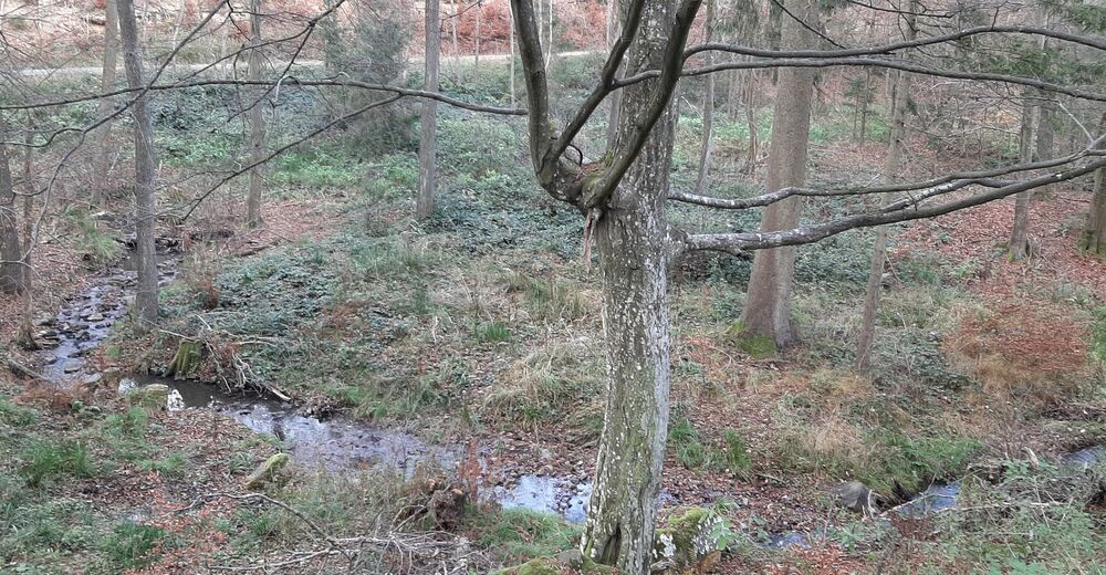
Foresta
Roccia
Esposta
Altri tour nelle regioni
-
Wiener Alpen
3048
-
Sonnenland Mittelburgenland
460
-
Kobersdorf
109