Dati percorsi
38,97km
112
- 223m
162hm
140hm
02:47h
- Difficoltà
-
facile
- Valutazione
-
- Punto di partenza
-
Bahnhof Eisenstadt
- Percorso
-
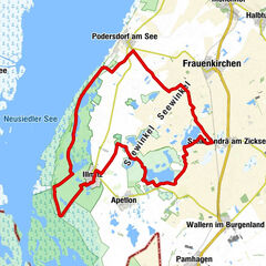
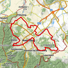
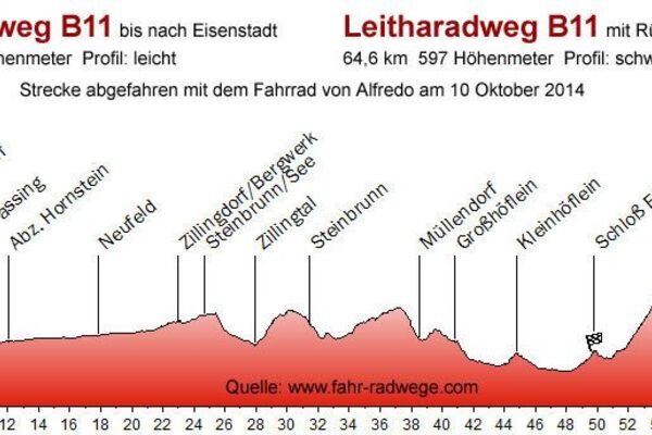
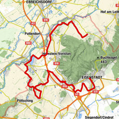
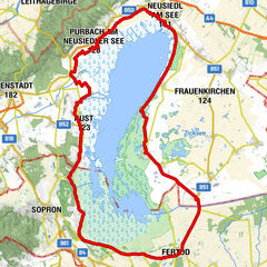
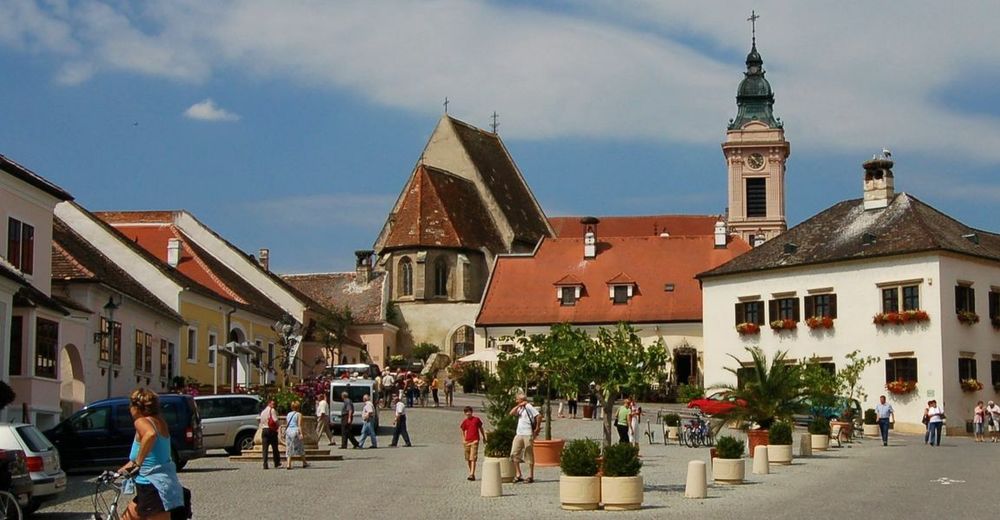
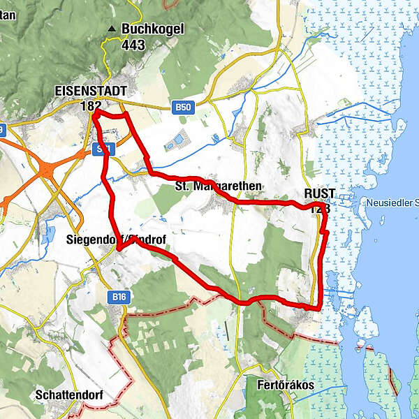
EisenstadtEisenstadt (182 m)0,4 kmTrausdorf an der Wulka5,0 kmMaria-Lourdes-Kapelle6,5 kmpizzamio8,4 kmSt. Margarethen9,1 kmEnge Kluft10,9 kmRust (123 m)14,3 kmKirche zur Hl. Dreifaltigkeit14,4 kmMörbisch am See (122 m)20,5 kmSiegendorf31,5 kmJohann Nepomuk-Kapelle31,7 kmSiegendorfer Straße35,1 kmEisenstadt (182 m)38,6 kmEisenstadt38,9 km
- La stagione migliore
-
genfebmaraprmaggiulugagosetottnovdic
- Punto più alto
- 223 m
- Destinazione
-
Bahnhof Eisenstadt

GPS Downloads


Altri tour nelle regioni