Geschriebenstein von Rechnitz nach Rattersdorf

Mountainbike


Dati percorsi
19,96km
288
- 869m
1.258hm
1.258hm
02:30h
- Descrizione rapida
-
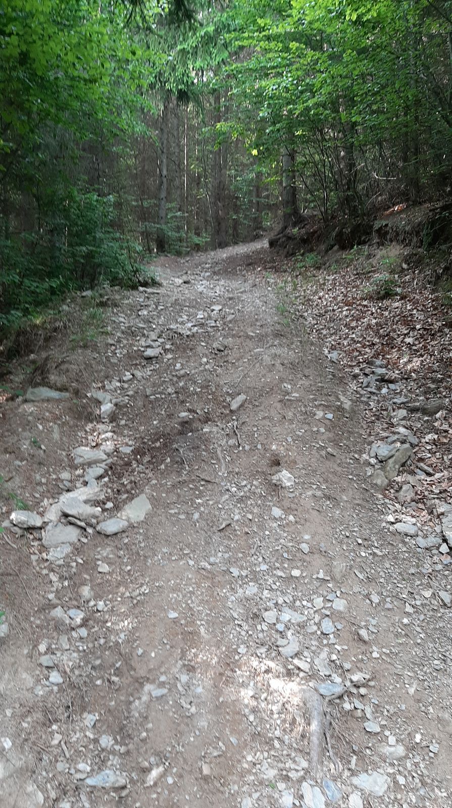
Mountainbiketour auf Waldwegen und Wanderwegen. Tlw. Single-Trail-Charakter. Anspruchsvoll.
- Difficoltà
-
intermedio
- Valutazione
-
- Punto di partenza
-
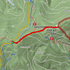
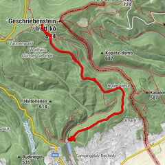
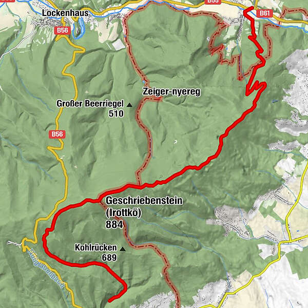
Stausee Rechnitz
- Percorso
-
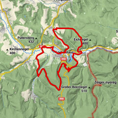
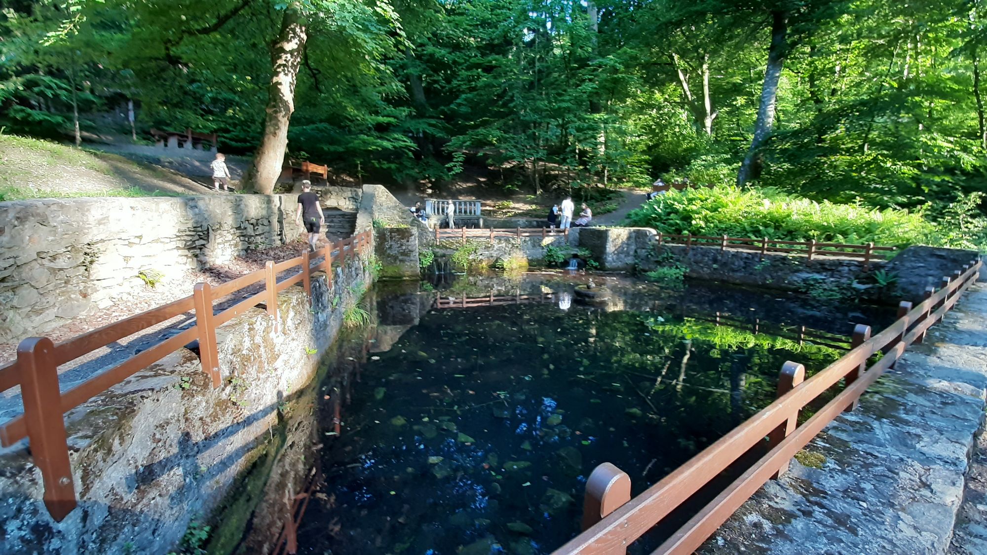
Klafterlucke1,2 kmGeschriebenstein (884 m)6,9 kmHármashatár-hegy (724 m)9,6 kmKendig (725 m)10,7 kmKopasz-Kendig (708 m)11,2 kmVörös-kereszt12,5 kmSiebenbründel16,1 kmWallfahrtskirche Mariae Geburt und Heimsuchung19,3 kmRattersdorf19,4 km
- La stagione migliore
-
genfebmaraprmaggiulugagosetottnovdic
- Punto più alto
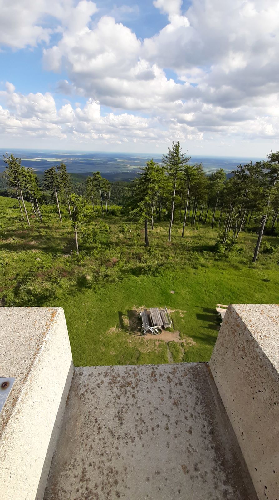
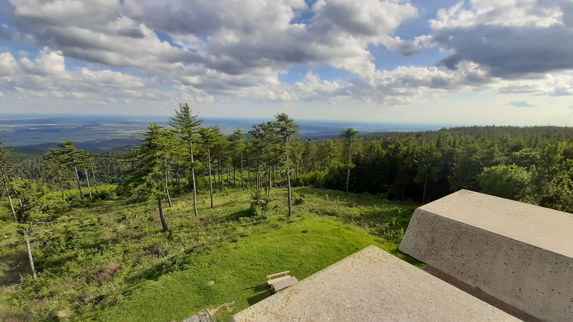
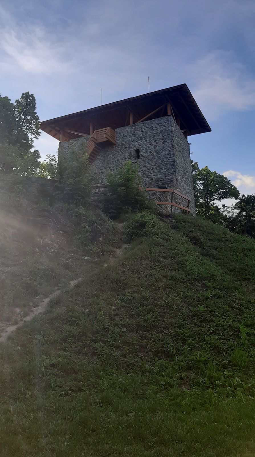
- Geschriebenstein (869 m)
- Destinazione
-
Rattersdorf
- Fonte
- Sepp Buchinger
GPS Downloads


Percorsi
Asfalto
Ghiaia
Foresta
Vie di montagna
Singletrail
Trial
Traffico
Altri tour nelle regioni