Burgenland-Trails: Batthyány Trail

Logo Burgenland-Trails: Batthyány Trail
Dati percorsi
7,58km
378 - 864m
Distanz
7hm
388hm
L'ascesa
02:05h
 
Durata
Descrizione rapida

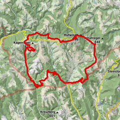
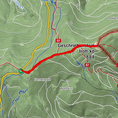
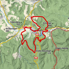
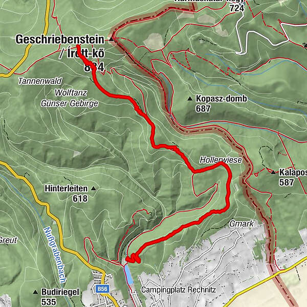
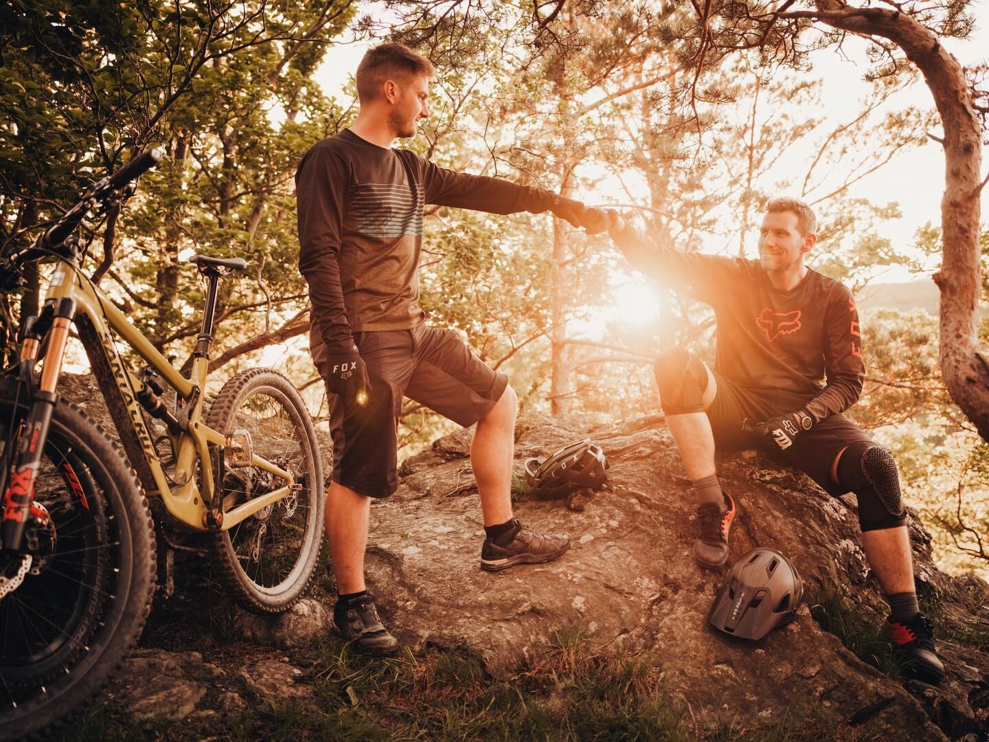
Auf der Suche nach Weitblick? Am Batthyány Trail fällt es fast schwer sich auf sein Bike zu konzentrieren.


La stagione migliore
gen
feb
mar
apr
mag
giu
lug
ago
set
ott
nov
dic
Punto più alto
864 m
Destinazione

Badesee Rechnitz

Profilo altimetrico

Autore
Il tour Burgenland-Trails: Batthyány Trail è utilizzato da outdooractive.com fornito.

Valutazione complessiva

5

0

%

4

0

%

3

0

%

2

0

%

1

0

%

Errore
Si è verificato un errore. Si prega di riprovare.
Grazie per la vostra recensione

La valutazione è stata cancellata

GPS Downloads
  • GPX GPS Exchange Format (XML)
  • KML Google Earth, Google Maps
Codici di download QR per telefoni cellulari

Percorsi

Trial
Altri tour nelle regioni

Tour popolari della zona

Dreiländereck-Strecke (Wintertour)

intermedio Mountainbike
28,46km | 842hm | 05:10h

Burgenland-Trails: Head Trail

Mountainbike
3,78km | 63hm | 00:20h

Lockenhaus - Rotes Kreuz - Paulusbrunnen - Glasgraben-Strecke

facile Mountainbike
24,16km | 518hm | 03:00h

MTB: Redlschlag- Geschriebenst.- Hodis

intermedio Mountainbike
37,65km | 889hm | 03:22h