

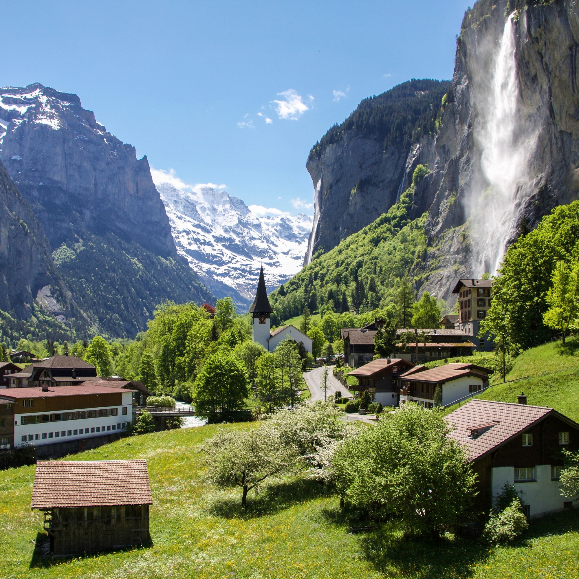
© Lauterbrunnen Tourismus - Tom Durrer
- Descrizione rapida
-
Easy hike, suitable also for strollers or buggies.
- Difficoltà
-
facile
- Valutazione
-
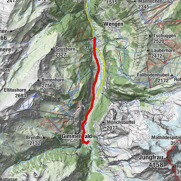
- Percorso
-
Steinbock0,0 kmLauterbrunnen0,1 kmBei der Zuben0,1 kmGsteigermatte0,2 kmFood Point0,2 kmGreifenbach0,3 kmBeim Schulhaus0,4 kmFuhrenboden0,5 kmLauterbrunnen0,6 kmBeim Pfrundhaus0,6 kmCascada de Staubbach0,9 kmStaubbach1,0 kmBei der Buche2,4 kmGydisdorf2,8 kmBrüggmatte3,6 kmMatta5,8 kmGimmelwald (1.367 m)6,1 kmSefinenfall6,3 kmHotel Restaurant Stechelberg6,6 kmRüti6,6 kmStechelberg (867 m)6,7 km
- La stagione migliore
-
genfebmaraprmaggiulugagosetottnovdic
- Punto più alto
- 913 m
- Destinazione
-
Bus station Stechelberg (910 m a. s. l.)
- Profilo altimetrico
-
 © outdooractive.com
- Autore
-
Il tour Lauterbrunnen - Stechelberg è utilizzato da outdooractive.com fornito.
GPS Downloads


Info generali
Punto di ristoro
Altri tour nelle regioni
-
Aletsch Arena
1471
-
Jungfrau Region
1006
-
Mürren - Schilthorn
340


