
Dati percorsi
5,38km
1.639
- 1.979m
127hm
02:30h

- Valutazione
-
- Punto di partenza
-
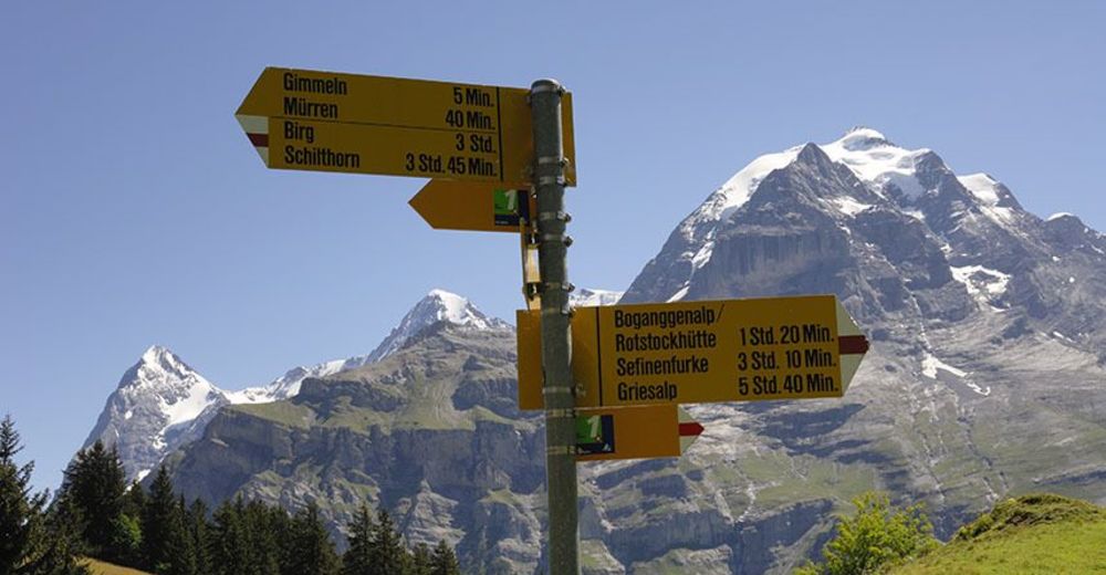
Mürren Dorf
- Percorso
-
Allmihubel (1.932 m)0,1 kmMirrenberg0,2 kmAllmihubel0,3 kmPension Suppenalp0,7 kmGimmelenweid3,5 kmDonneren3,5 kmGimmeln (1.813 m)3,9 kmWintertal4,0 kmBrich4,7 kmUnderwald5,0 kmSchilthornbahn (1.643 m)5,1 kmAuf den Balmen5,1 kmBachstutz5,1 kmBeim Schulhaus5,1 kmMürren (1.650 m)5,2 kmHinter der Egg5,3 kmBrunnen5,3 kmEggli5,3 kmAuf dem Bühl5,3 km
- Punto più alto
- 1.979 m
- Riposo/Ritiro
-
Panoramarestaurant Allmendhubel
Suppenalp - Cartine
-
www.schilthorn.ch

GPS Downloads


Condizioni dei sentieri
Asfalto
Ghiaia
Prato
Foresta
Roccia
Esposta
Altri tour nelle regioni
-
Oberwallis
1872
-
Jungfrau Region
1007
-
Mürren - Schilthorn
343


