

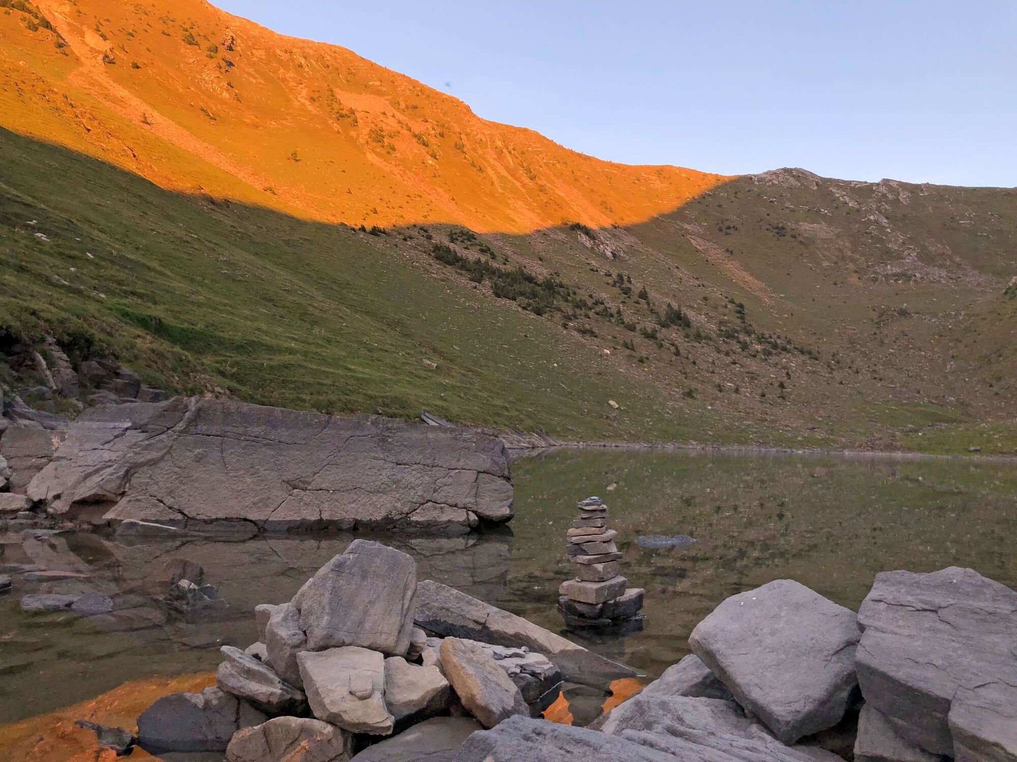
© Naturpark Diemtigtal - Martin Wymann

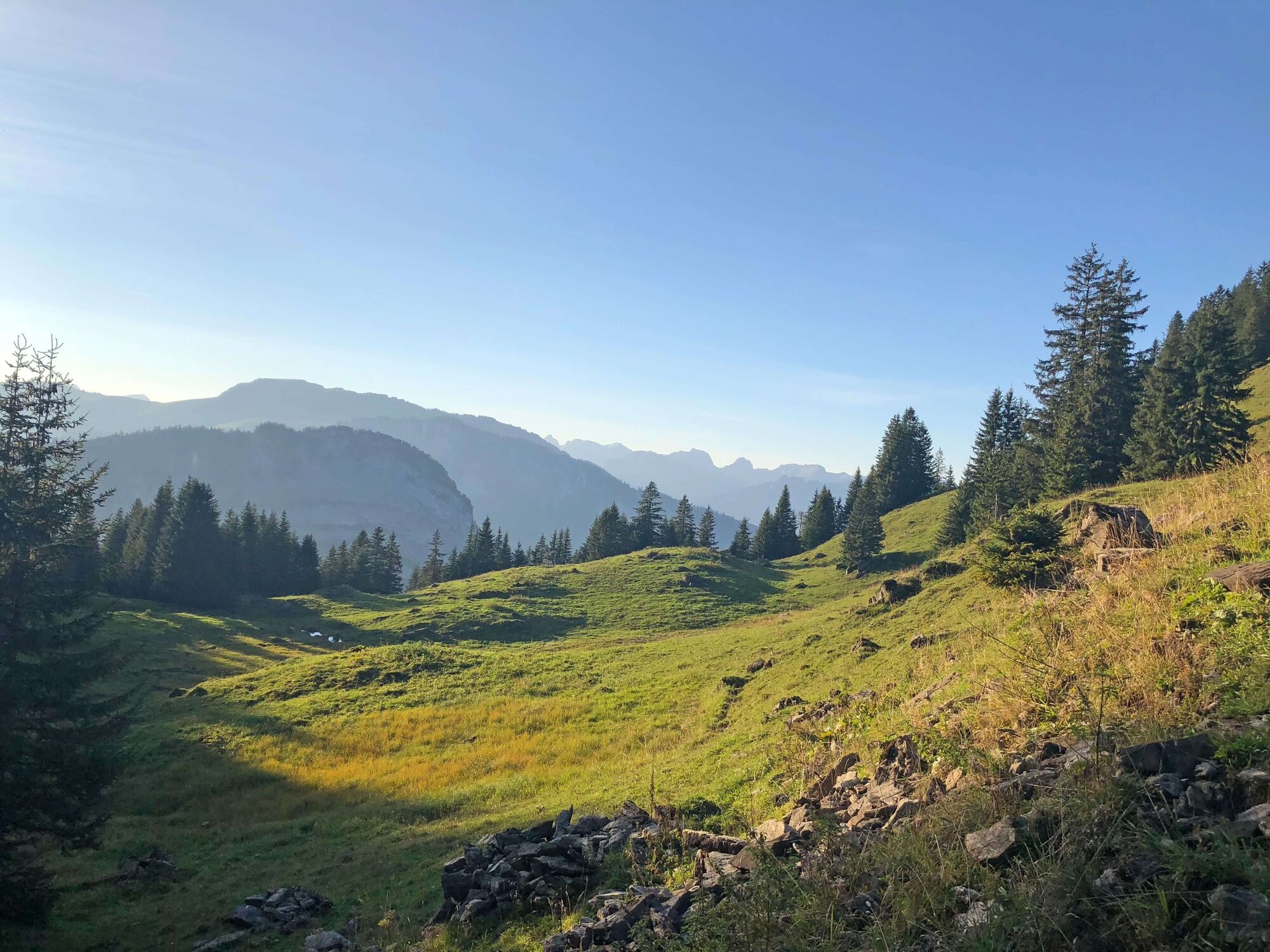
© Naturpark Diemtigtal - Rahel Mazenauer

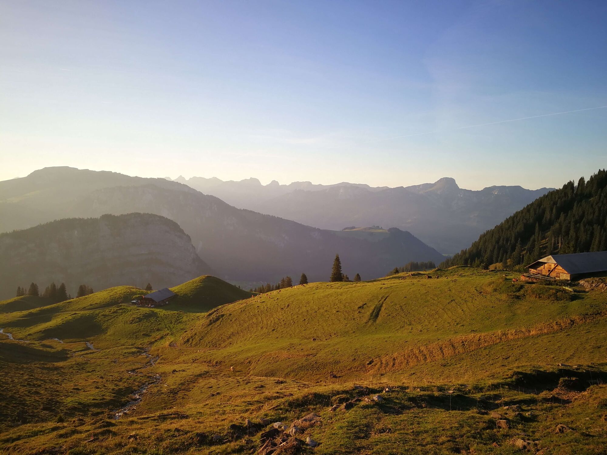
© Naturpark Diemtigtal - Rahel Mazenauer

© Naturpark Diemtigtal - Rahel Mazenauer

© Naturpark Diemtigtal - Céline Perren

- Descrizione rapida
-
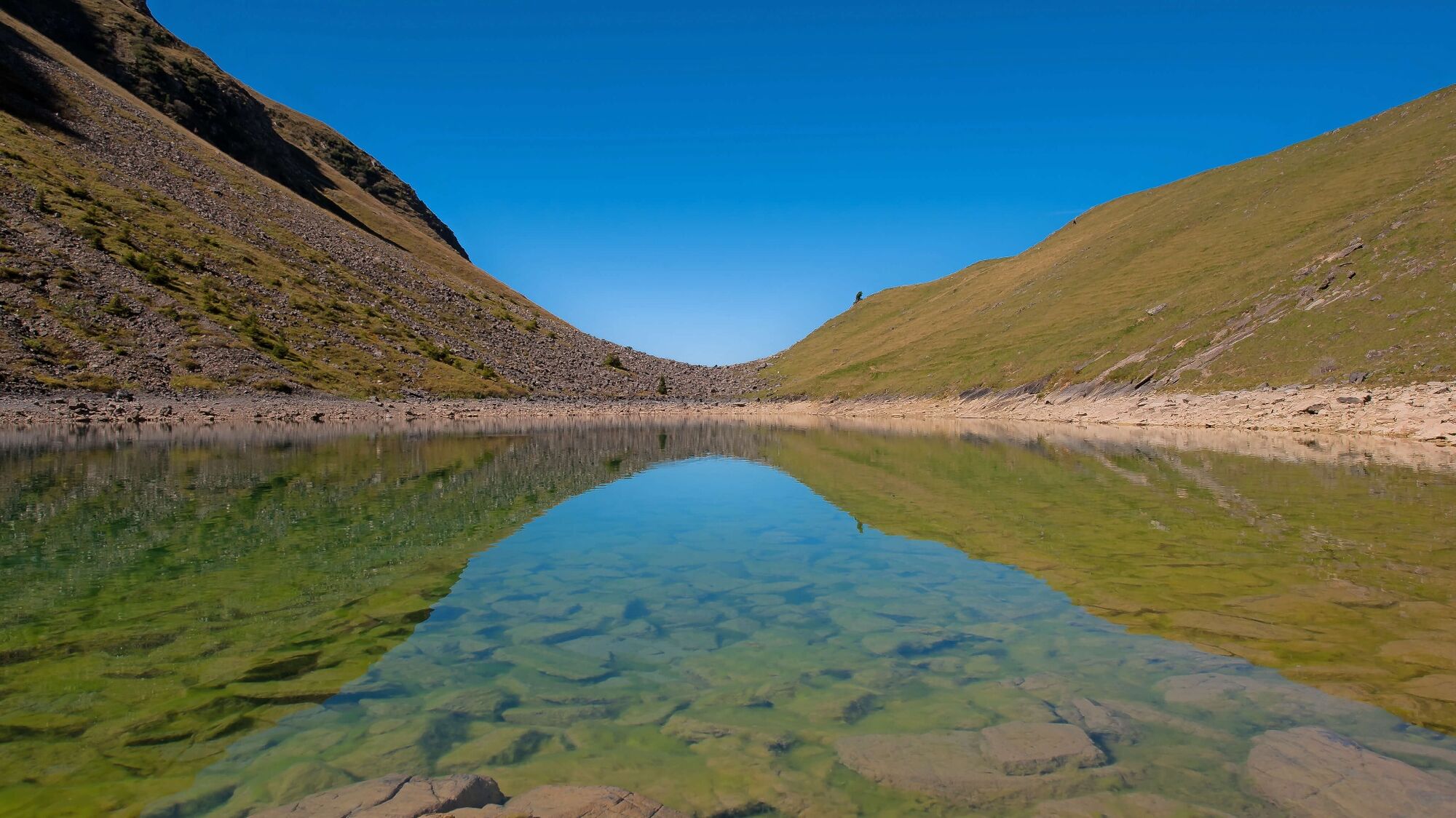
On this lake hike, it is not only the destination that is worthwhile: let yourself be surprised by the varied panorama along the way and enjoy the pure mountain air to the full.
- Difficoltà
-
intermedio
- Valutazione
-
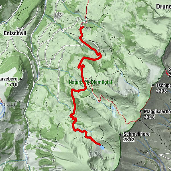
- Percorso
-
GsässweidSpringeboden0,1 kmSpringeboden13,0 kmGsässweid13,1 km
- La stagione migliore
-
genfebmaraprmaggiulugagosetottnovdic
- Punto più alto
- 1.909 m
- Destinazione
-
Gsässweid Inn (Springenboden), Horboden
- Profilo altimetrico
-
 © outdooractive.com

- Autore
-
Il tour Hike to the Meienfall lake è utilizzato da outdooractive.com fornito.
GPS Downloads


Info generali
Suggerimento
Flora
Promettente
Altri tour nelle regioni
-
Oberwallis
1873
-
Naturpark Diemtigtal
937
-
Erlenbach / Simmental
228


