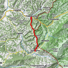
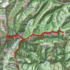
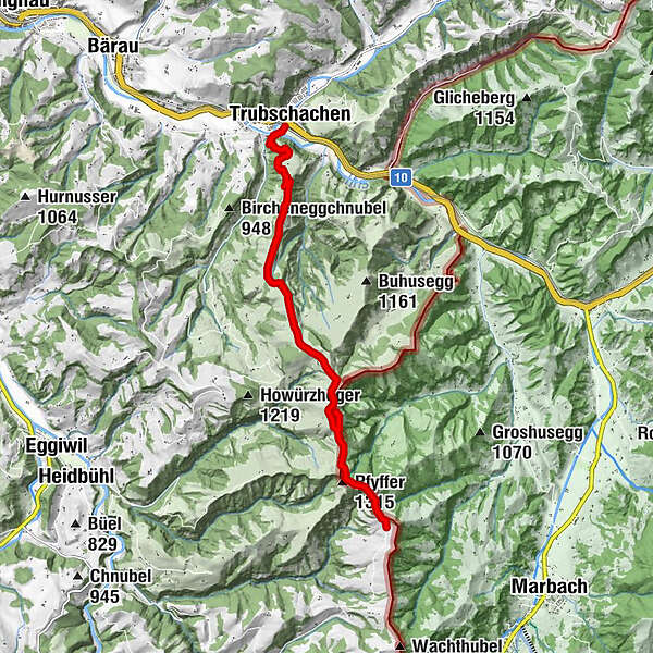
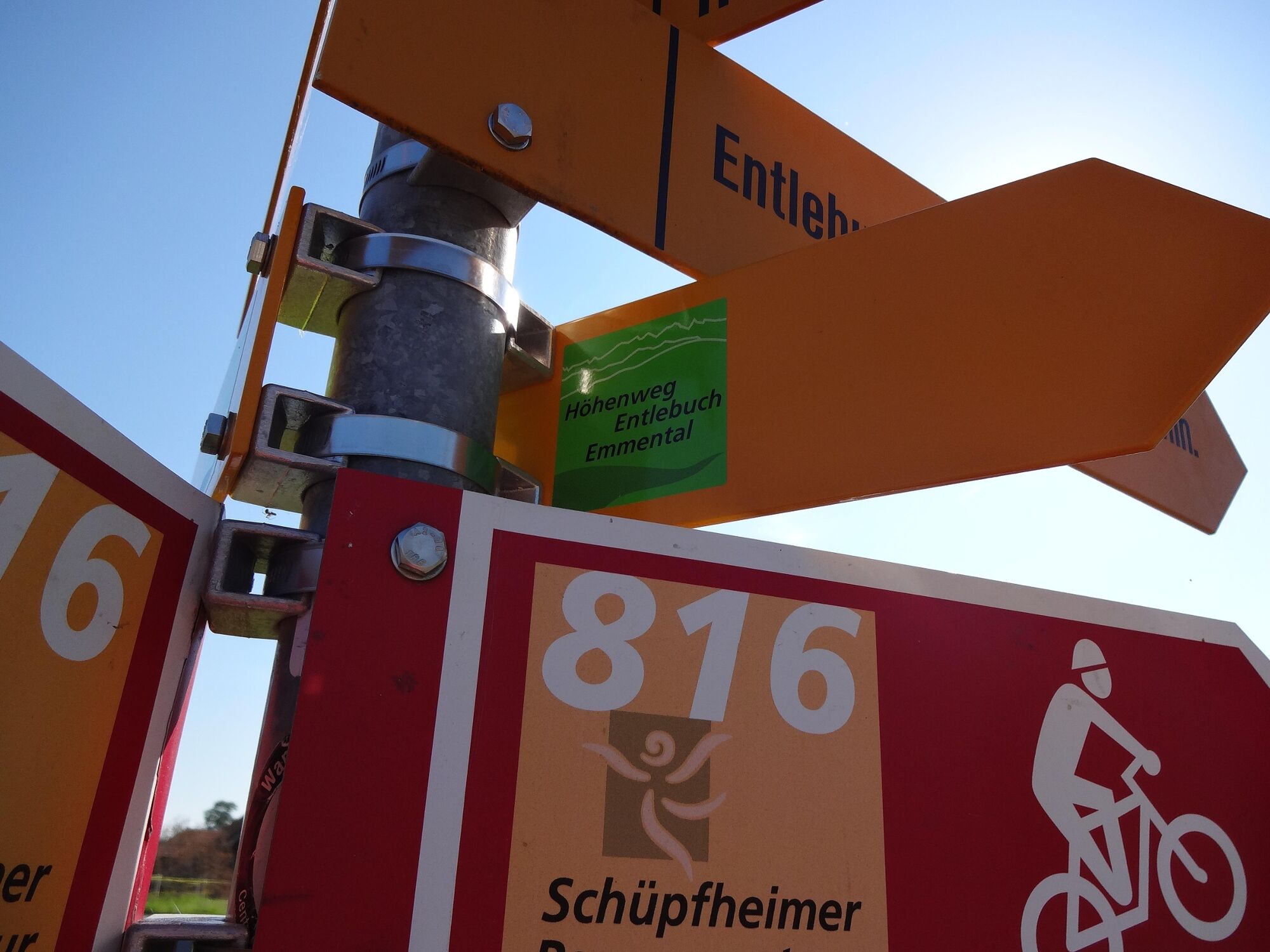
Höhenweg Entlebuch Emmental - Etappe 4: Trubschachen – Grosshorben

Escursionismo

© Emmental Tourismus - Fabienne Röösli

© UNESCO Biosphäre Entlebuch

© Emmental Tourismus

© Emmental Tourismus
- Descrizione rapida
-
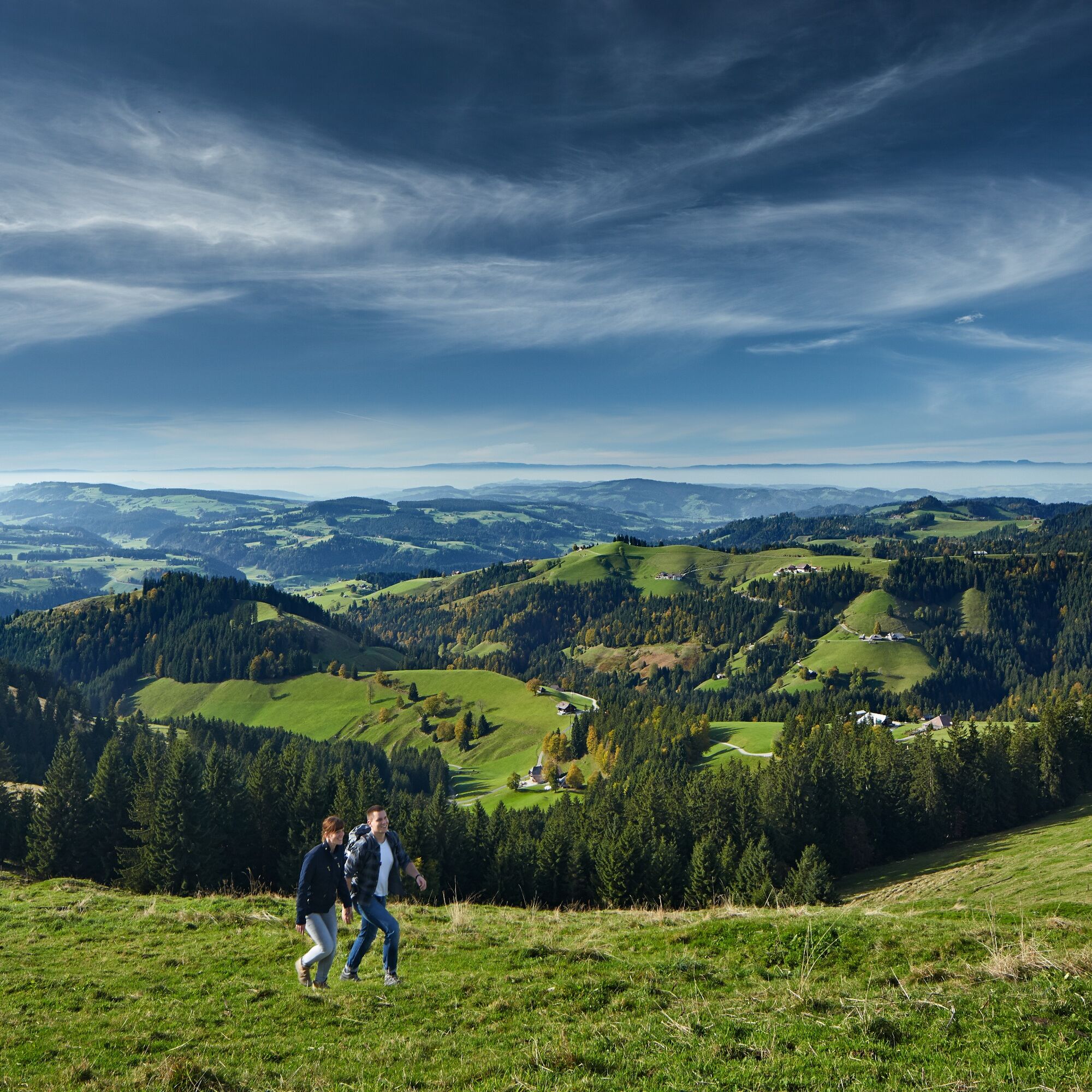
Die vierte Etappe führt über die Emmentaler "Höger" und bietet fantastische Ausblicke.
- Difficoltà
-
intermedio
- Valutazione
-
- Percorso
-
TrubschachenChäserenegg (1.269 m)5,1 kmRämisgummehoger (1.300 m)6,8 kmHinter Rämisgummen7,5 kmPfyffer (1.315 m)7,9 kmBrunnenboden8,6 km
- La stagione migliore
-
genfebmaraprmaggiulugagosetottnovdic
- Punto più alto
- 1.296 m
- Destinazione
-
Grosshorben
- Profilo altimetrico
-
 © outdooractive.com


-

-
AutoreIl tour Höhenweg Entlebuch Emmental - Etappe 4: Trubschachen – Grosshorben è utilizzato da outdooractive.com fornito.
GPS Downloads


Info generali
Punto di ristoro
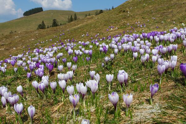
Flora
Promettente
Altri tour nelle regioni
-
Obwalden
1949
-
Emmental
547
-
Trubschachen
156