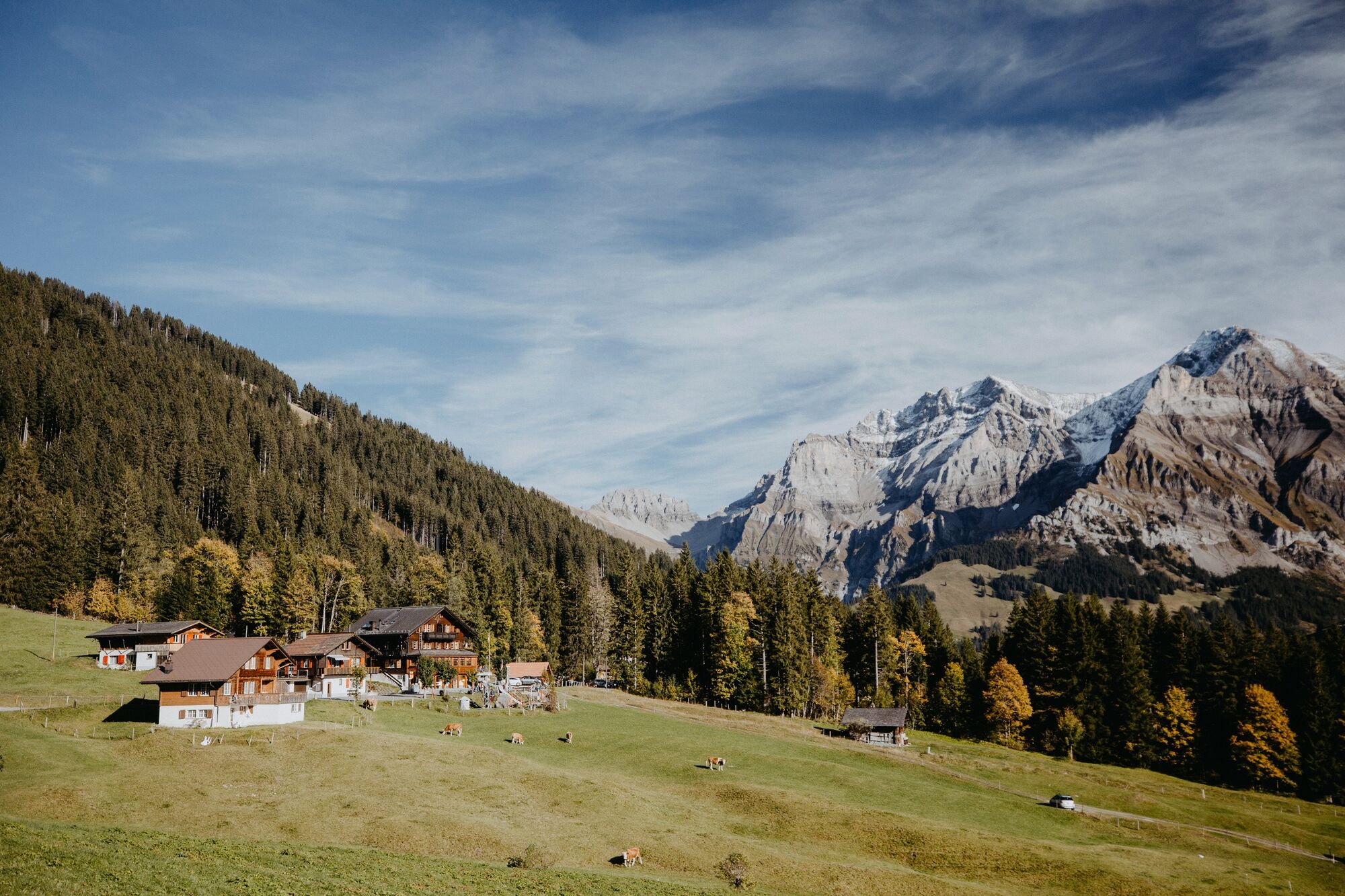
© Tourismus Adelboden-Lenk-Kandersteg - Anja Zurbrügg

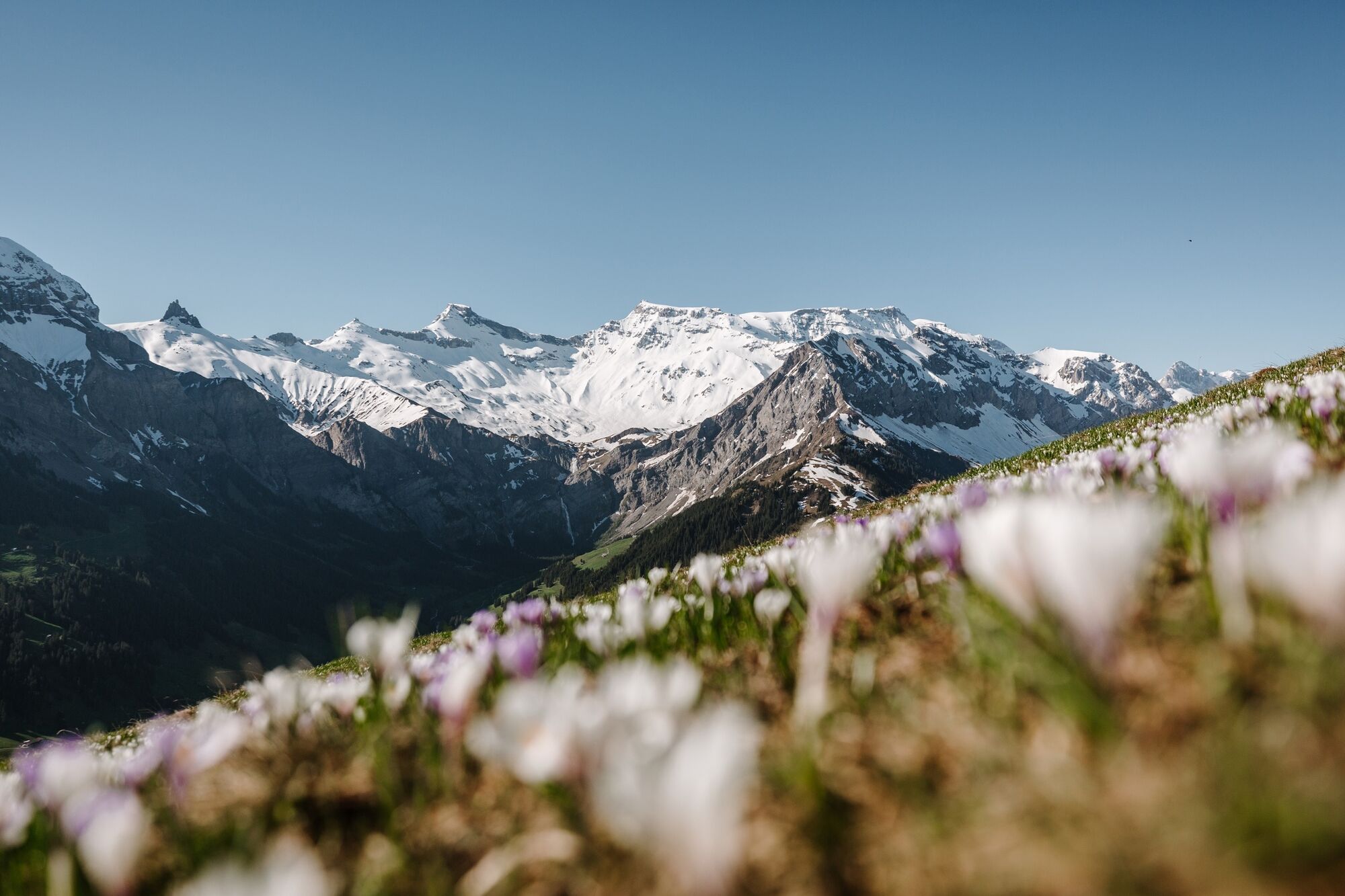
© Tourismus Adelboden-Lenk-Kandersteg - Anja Zurbrügg
- Descrizione rapida
-
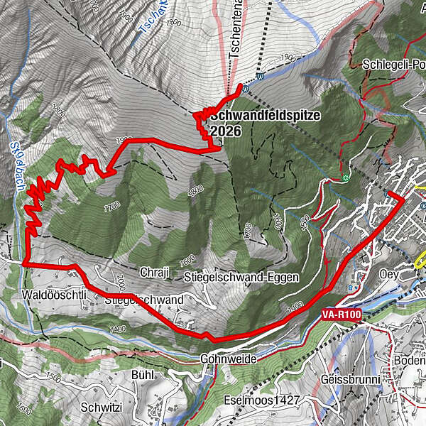
Walkers are treated to a marvellous panorama on the way from Adelboden's mountain of views, TschentenAlp, to Stiegelschwand.
- Difficoltà
-
facile
- Valutazione
-
- Percorso
-
Berghaus Tschentenalp0,0 kmSchwandfeldspitze (2.026 m)0,4 kmStiegelschwand4,5 kmDorfkirche6,5 kmAdelboden (1.350 m)6,6 km
- La stagione migliore
-
genfebmaraprmaggiulugagosetottnovdic
- Punto più alto
- 2.016 m
- Destinazione
-
Adelboden, Dorf
- Profilo altimetrico
-
 © outdooractive.com
-

-
AutoreIl tour Tschentenalp-Schermtanne è utilizzato da outdooractive.com fornito.
GPS Downloads


Info generali
Punto di ristoro
Promettente
Altri tour nelle regioni
-
Oberwallis
1873
-
Adelboden
985
-
Frutigen
315