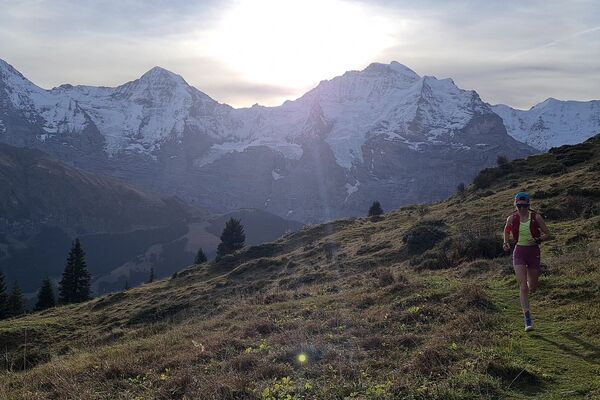
© Jungfrau.ch

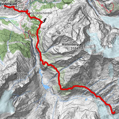
© Unbekannt

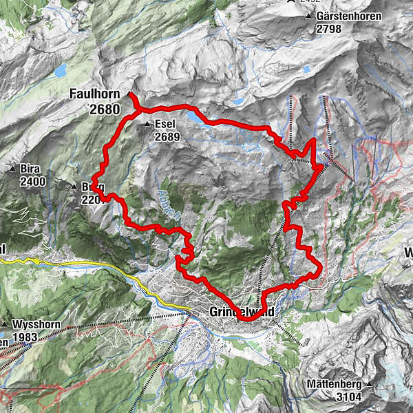
© Jungfrau.ch

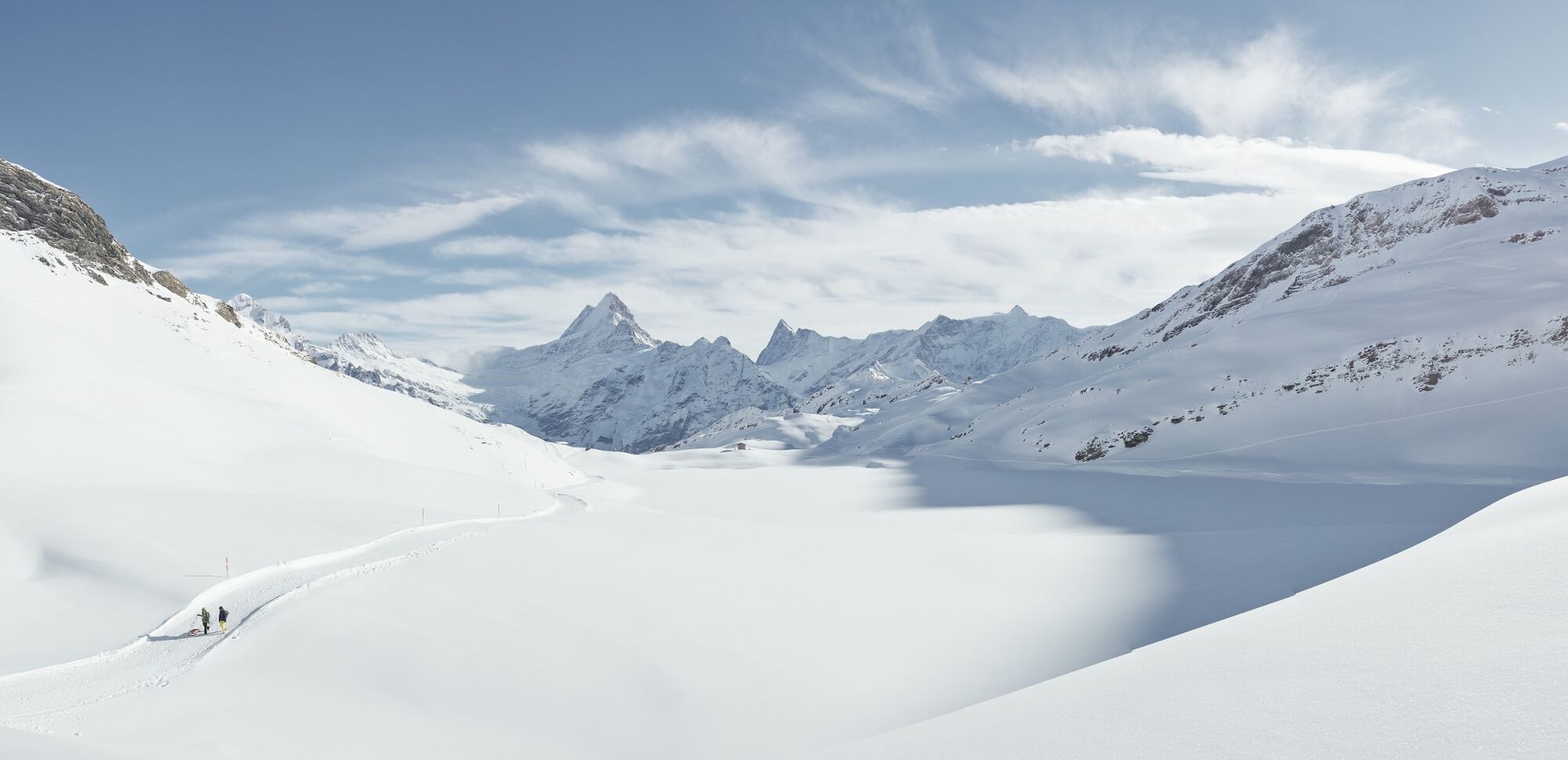
© Jungfrau.ch
- Descrizione rapida
-
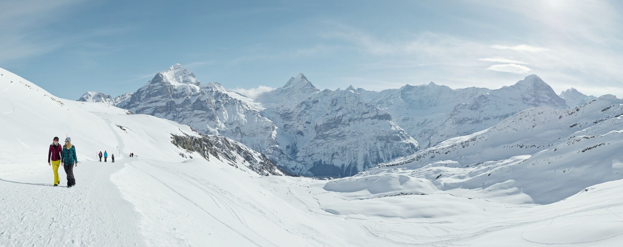
An up- & downhill trail that offers a great winter workout covering almost 1,700 meters of elevation and a distance of 27 kilometres.
- Difficoltà
-
difficile
- Valutazione
-
- Percorso
-
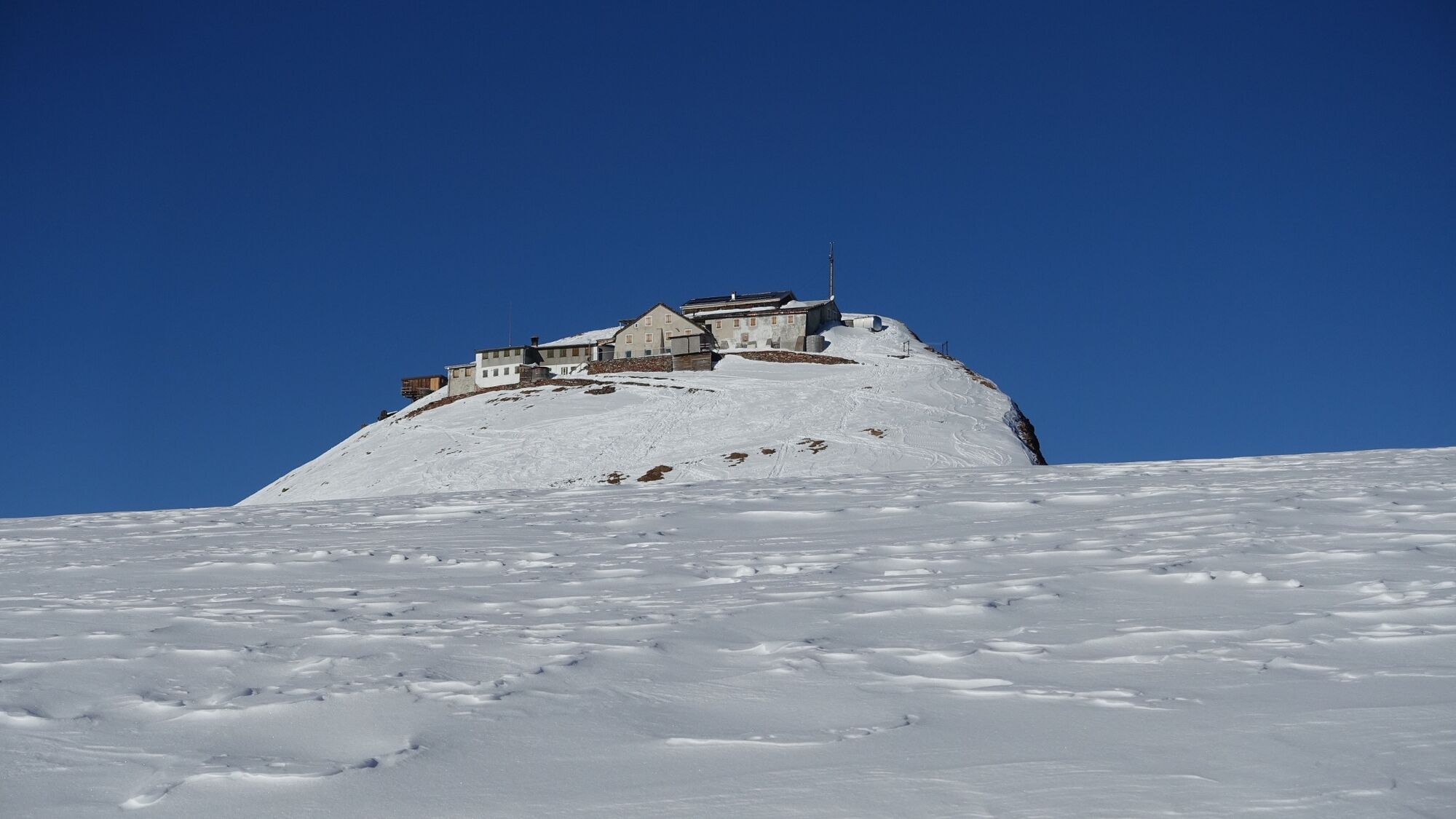
Grindelwald0,1 kmMilchbach1,8 kmChuestall5,4 kmBergrestaurant Bort5,4 kmBort (1.564 m)5,5 kmFaulhorn (2.680 m)15,7 kmOberläger18,5 kmBussalp19,6 kmSwiss Alp Resort27,0 kmGrindelwald27,4 km
- La stagione migliore
-
genfebmaraprmaggiulugagosetottnovdic
- Punto più alto
- 2.655 m
- Destinazione
-
Grindelwald sports centre
- Profilo altimetrico
-
 © outdooractive.com
- Autore
-
Il tour The big Faulhorn tour W4 è utilizzato da outdooractive.com fornito.
GPS Downloads


Info generali
Punto di ristoro
Promettente
Altri tour nelle regioni
-
Obwalden
63
-
Jungfrau Region
51
-
Grindelwald - First
40