Dati percorsi
2,09km
1.083 - 1.501m
Distanz
5hm
417hm
L'ascesa
00:55h
 
Durata
Descrizione rapida

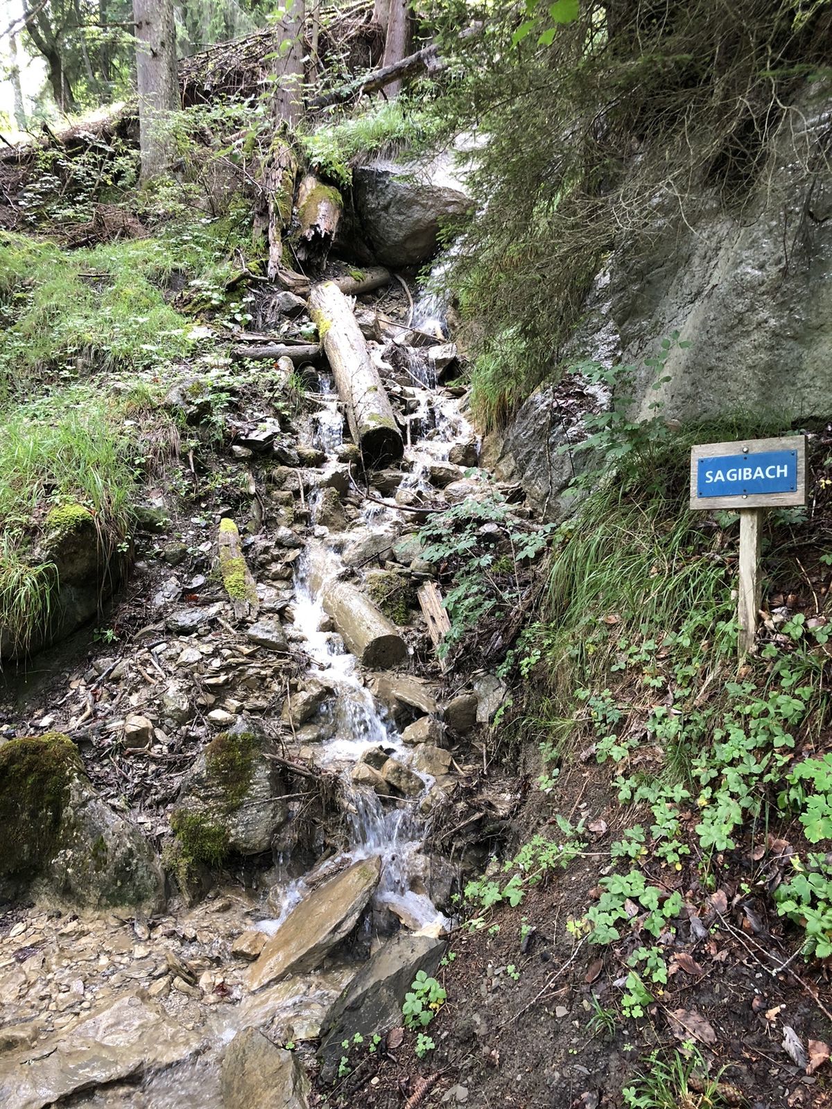
Von Sulwald nach Isenfluh

Difficoltà
intermedio
Valutazione
Tecnica
Forma fisica
Panorama
Avventura / Esperienza
Percorso
Sulwald
0,0 km
Auf dem Rauft
1,8 km
Boden
1,8 km
Isenfluh
2,0 km
Beim Brunnen
2,0 km
Gärten
2,0 km
Beim Schulhaus
2,0 km
Gassen
2,0 km
Restaurant Waldrand
2,1 km
Auf der Matte
2,1 km

Punto più alto
1.501 m

Valutazione complessiva

5

0

%

4

0

%

3

0

%

2

0

%

1

0

%

Errore
Si è verificato un errore. Si prega di riprovare.
Grazie per la vostra recensione

La valutazione è stata cancellata

GPS Downloads
  • GPX GPS Exchange Format (XML)
  • KML Google Earth, Google Maps
Codici di download QR per telefoni cellulari
Altri tour nelle regioni

Tour popolari della zona

Aeschiried - Suldtal - Pochtenfall - Brunni - Greberegg - Aeschiried

intermedio Escursionismo
13,8km | 880hm | 04:45h

Saxeten - Rengglipass - Morgenberghorn - Brunnihütte - Suld Pochten...

intermedio Escursionismo
11,2km | 1135hm | 04:30h

To the Hinterburgseeli, a marvel of nature up on the Axalp

intermedio Escursionismo
10,61km | 550hm | 03:45h

Eiger, Mönch und Lobhornhütte

intermedio Escursionismo
9,4km | 511hm | 03:50h