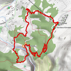
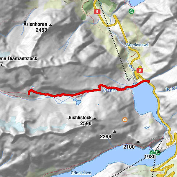
Anstieg Bachlitalhutte

Logo Anstieg Bachlitalhutte
Dati percorsi
4,42km
1.768 - 2.310m
Distanz
573hm
32hm
L'ascesa
01:49h
 
Durata
Descrizione rapida

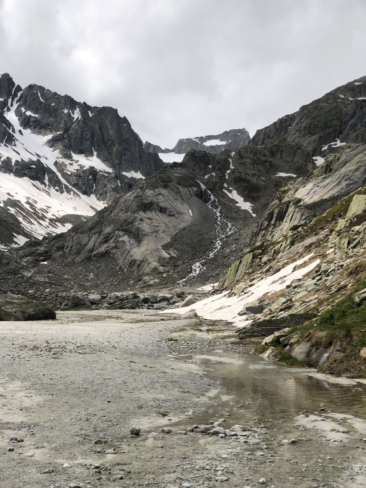
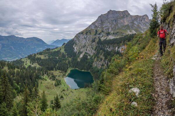
Steil an anfang, treppe hoch, hutte mit schone aussicht!

Difficoltà
facile
Valutazione
Tecnica
Forma fisica
Panorama
Avventura / Esperienza
Percorso
Bächlitalhütte SAC
4,4 km

La stagione migliore
gen
feb
mar
apr
mag
giu
lug
ago
set
ott
nov
dic
Punto più alto
2.310 m

Valutazione complessiva

5

0

%

4

0

%

3

0

%

2

0

%

1

0

%

Errore
Si è verificato un errore. Si prega di riprovare.
Grazie per la vostra recensione

La valutazione è stata cancellata

GPS Downloads
  • GPX GPS Exchange Format (XML)
  • KML Google Earth, Google Maps
Codici di download QR per telefoni cellulari
Altri tour nelle regioni

Tour popolari della zona

Gletscherschlucht - Pfingstegg - Rundweg

intermedio Escursionismo
5,84km | 464hm | 02:39h

Panoramaweg über den Aletschgletscher

intermedio Escursionismo
17,73km | 608hm | 05:00h

Steile Felswände über der Axalp

intermedio Escursionismo
9,5km | 712hm | 04:10h