- Descrizione rapida
-
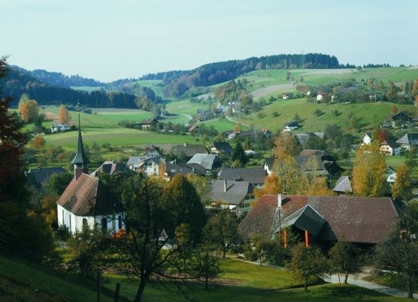
Abwechslungsreiche Höhenwanderung mit prächtiger Rundsicht in die Zentralalpen und übers Mittelland zum Jura. Am Wege die Ruine des Stammschlosses der Freiherren von Grünenberg, der Babeliplatz - ein lichter Buchenwaldplatz mit Forsthütte – und das auf breitem Hochplateau gelegene Gondiswil. Hartbelag einzig in Siedlungsnähe.
- Difficoltà
-
facile
- Valutazione
-
- Percorso
-
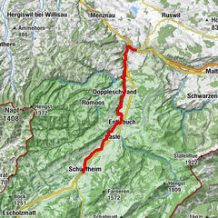
Melchnau (528 m)0,0 kmRef. Kirche0,0 kmSchlossberg0,3 kmIscherhubel0,7 kmBifang4,5 kmHinterdorf4,7 kmUnterdorf5,0 kmAm Bach5,2 kmGondiswil (660 m)5,3 kmMühle5,8 kmAlthaus6,3 kmBrüggenweid7,3 kmHuttwil10,2 kmHuttwil (638 m)10,4 km
- La stagione migliore
-
genfebmaraprmaggiulugagosetottnovdic
- Punto più alto
- 729 m
- Destinazione
-
Huttwil
- Profilo altimetrico
-
 © outdooractive.com
- Autore
-
Il tour Im Grenzland Bern–Luzern è utilizzato da outdooractive.com fornito.
GPS Downloads


Info generali
Punto di ristoro
Altri tour nelle regioni
-
Solothurn und Region
1453
-
Willisau Luzern
561
-
Auswil
146