© Stockhornbahn AG

© Stockhornbahn AG

© Stockhornbahn AG

© Stockhornbahn AG


- Descrizione rapida
-
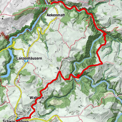
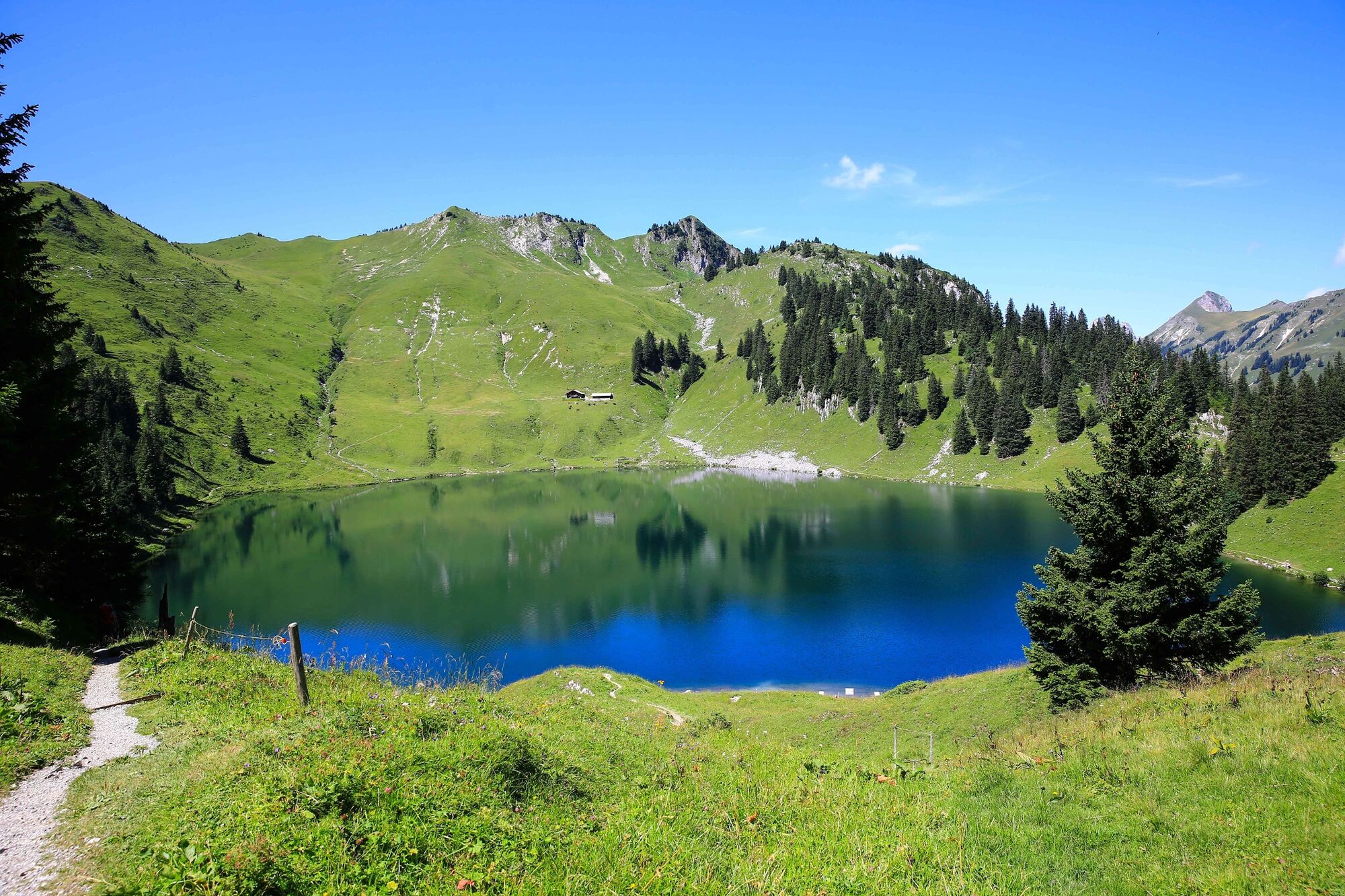
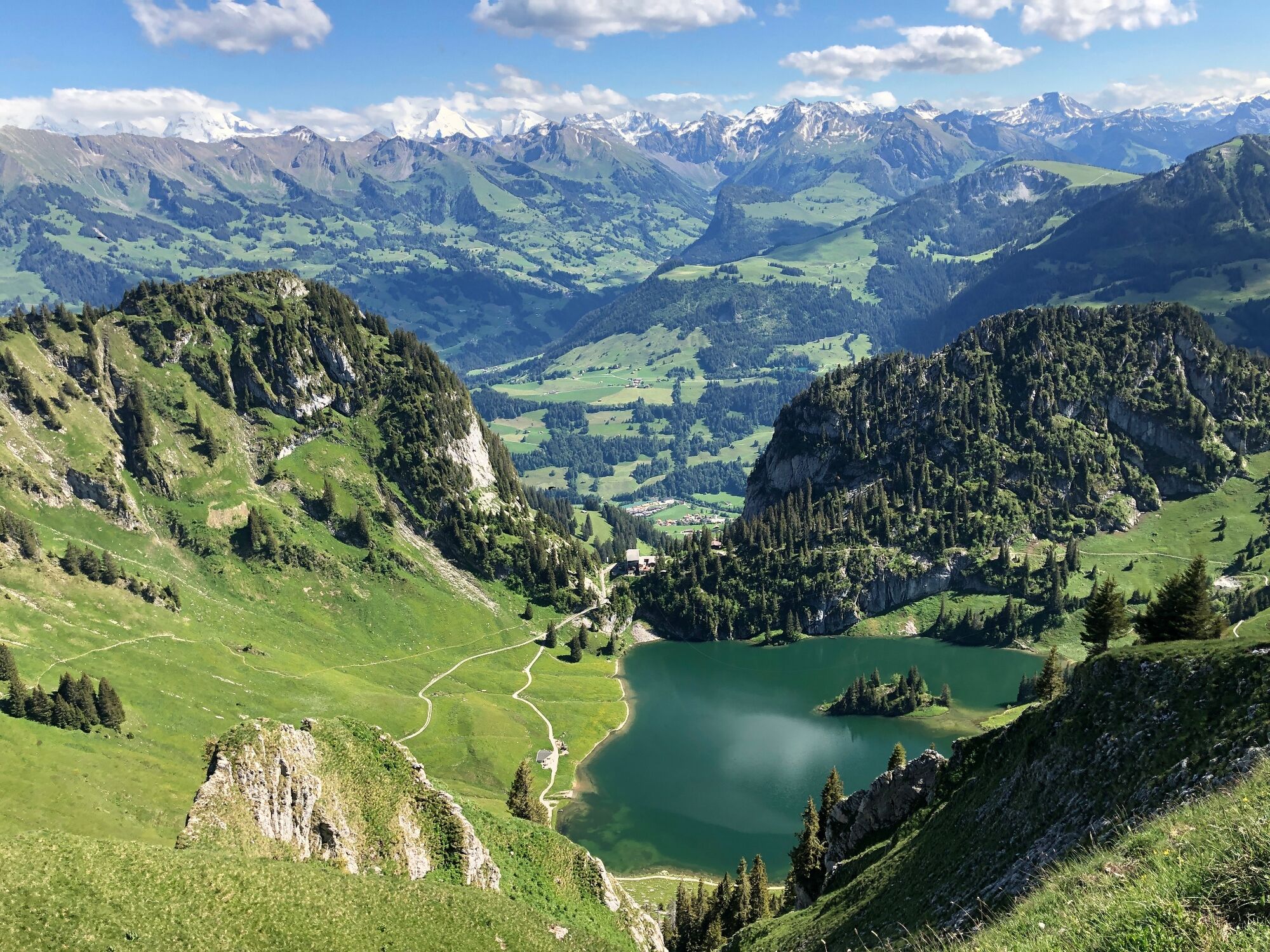
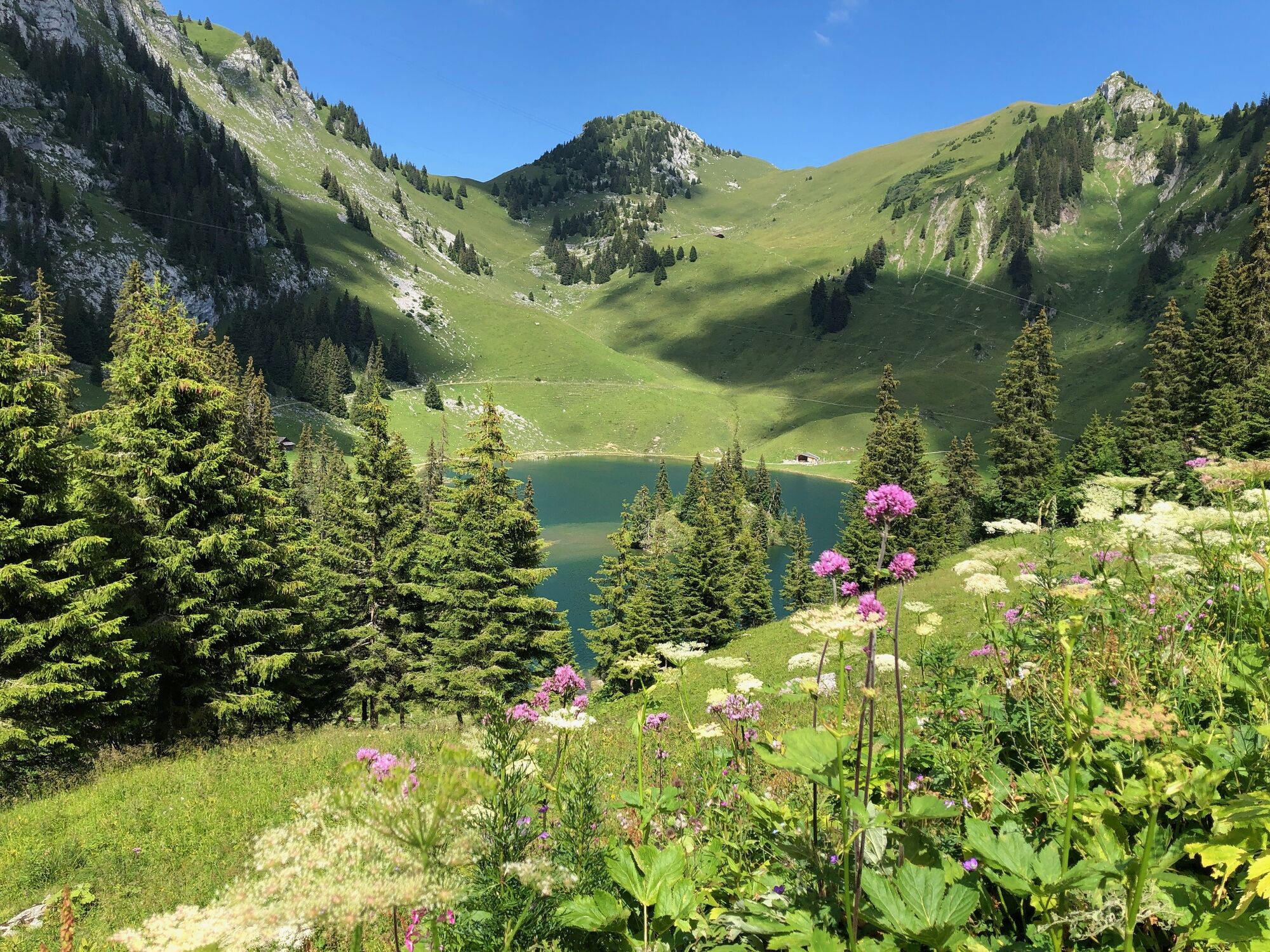
A rewarding circular hike in the prealpine landscape at the foot of the Stockhorn. The route visits two idyllic mountain lakes, which are also very popular with anglers. Natural trails only.
- Difficoltà
-
intermedio
- Valutazione
-
- Percorso
-
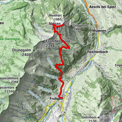
Chrindi (1.649 m)0,0 kmBerggasthaus Oberstockenalp4,3 kmChrindi (1.649 m)6,1 km
- La stagione migliore
-
genfebmaraprmaggiulugagosetottnovdic
- Punto più alto
- 1.792 m
- Destinazione
-
Chrindi
- Profilo altimetrico
-
 © outdooractive.com

-

-
AutoreIl tour Idyllic mountain lakes on the Stockhorn è utilizzato da outdooractive.com fornito.
GPS Downloads


Info generali
Punto di ristoro
Promettente
Altri tour nelle regioni