- Descrizione rapida
-
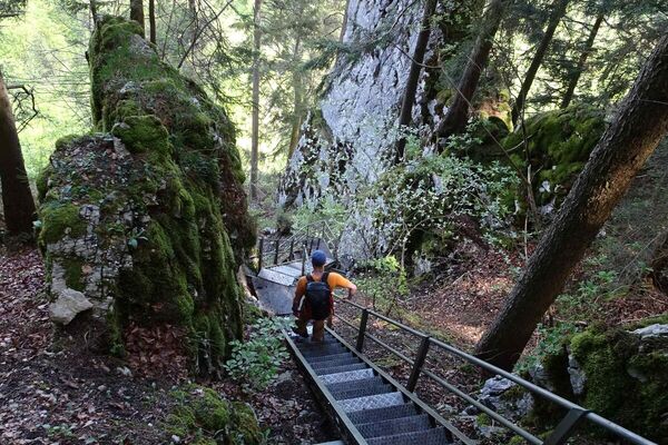
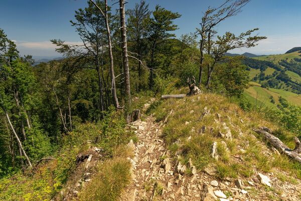
Zwischen einen steilen Aufstieg und einen ebenfalls steilen Abstieg fügt sich eine Höhenwanderung über den Mont Raimeux in seiner ganzen Ost-West-Ausdehnung. Auf dem höchsten Punkt thront ein Aussichtsturm. Wenig Abschnitte auf Hartbelag.
- Difficoltà
-
intermedio
- Valutazione
-
- Percorso
-
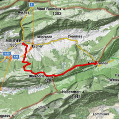
Corcelles (655 m)0,4 kmMont Raimeux (1.302 m)9,0 kmRaimeux de Grandval9,7 kmRestaurant Le Signal9,8 kmPrés Fleurets10,9 kmRaimeux de Belprahon11,9 kmGressins dessus12,0 kmGressins dessous12,4 kmPlateforme13,9 kmMünster (535 m)16,4 kmMoutier (529 m)16,5 km
- La stagione migliore
-
genfebmaraprmaggiulugagosetottnovdic
- Punto più alto
- 1.299 m
- Destinazione
-
Moutier
- Profilo altimetrico
-
 © outdooractive.com

-

-
AutoreIl tour Mont Raimeux - Die einsame Jurahöhe è utilizzato da outdooractive.com fornito.
GPS Downloads

Info generali
Punto di ristoro
Altri tour nelle regioni
-
Kanton Jura
1150
-
Bucheggberg
525
-
Val Terbi
147