In der Auenlandschaft der Aare bei Münsingen

Escursionismo

© Berner Wanderwege - Berne Rando

© Gasthof Ochsen

- Descrizione rapida
-
Die Aarelandschaft ist ein viel besuchtes Naherholungsgebiet. Sowohl Wanderer wie Leute, die es an, in oder auf das Wasser zieht und auch Velofahrende, sind anzutreffen. Der Vorschlag beschreibt eine Wanderung auf oft und weniger oft begangenen Wegen. Ausserhalb der Siedlungsgebiete kaum Hartbelag.
- Difficoltà
-
facile
- Valutazione
-
- Percorso
-
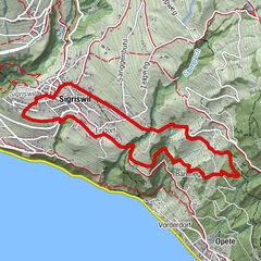
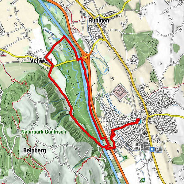
Münsingen (541 m)Münsingen (531 m)0,1 kmOberaar2,7 kmUnteraar3,3 kmIm Schwarzen4,4 kmVehweid5,2 kmCampagna6,8 kmMünsingen (531 m)11,6 kmMünsingen (541 m)11,8 km
- La stagione migliore
-
genfebmaraprmaggiulugagosetottnovdic
- Punto più alto
- 564 m
- Destinazione
-
Münsingen
- Profilo altimetrico
-
 © outdooractive.com

-

-
AutoreIl tour In der Auenlandschaft der Aare bei Münsingen è utilizzato da outdooractive.com fornito.
GPS Downloads


Info generali
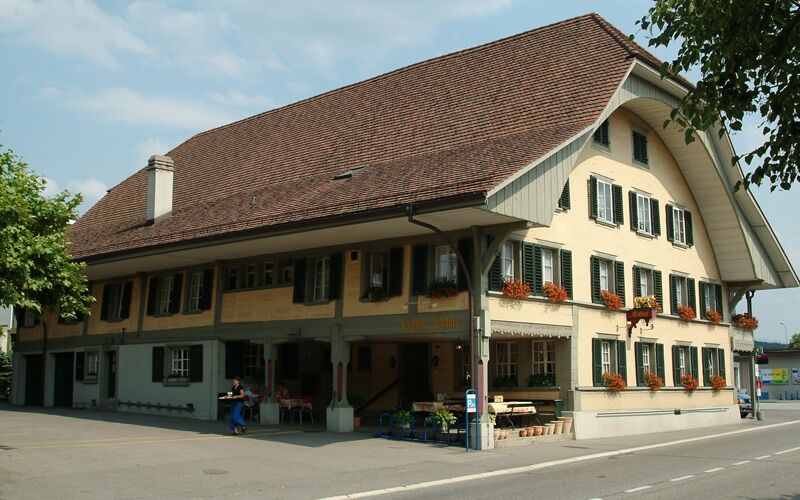
Punto di ristoro
Altri tour nelle regioni
-
Biel Seeland
781
-
Bern - Stadt
483
-
Münsingen
137