© Grindelwald Tourismus - David Birri

© Grindelwald Tourismus - David Birri

© Grindelwald Tourismus - David Birri

© Grindelwald Tourismus - David Birri

- Descrizione rapida
-
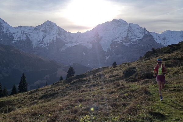
The Chrinnenhorn summit trail passes through the most fascinating glacier world in the Bernese Alps.
- Difficoltà
-
difficile
- Valutazione
-
- Percorso
-
Grindelwald0,1 kmDorfkirche0,8 kmRancher Bar1,9 kmChrinnenhorn (2.741 m)10,3 km
- La stagione migliore
-
genfebmaraprmaggiulugagosetottnovdic
- Punto più alto
- 2.725 m
- Destinazione
-
Chrinnenhorn
- Profilo altimetrico
-
 © outdooractive.com


- Autore
-
Il tour Trailsummit Chrinnenhorn TS3 è utilizzato da outdooractive.com fornito.
GPS Downloads


Info generali
Punto di ristoro
Promettente
Altri tour nelle regioni