
- Descrizione rapida
-
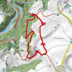
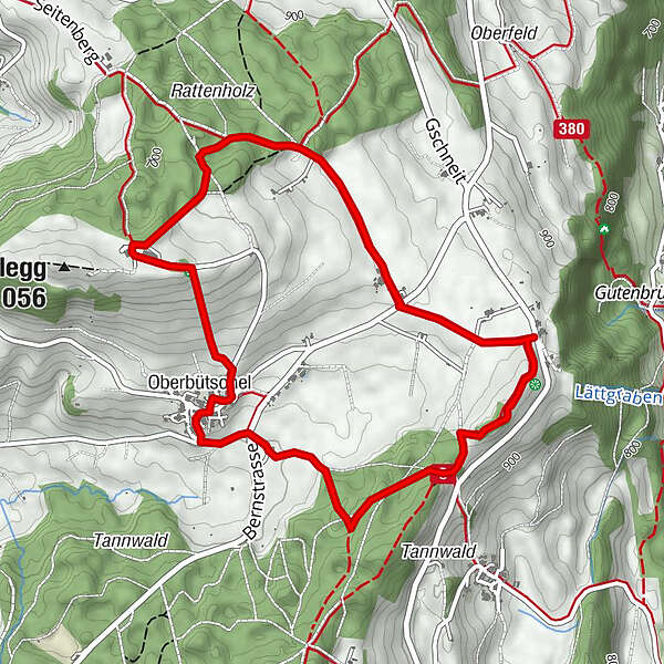
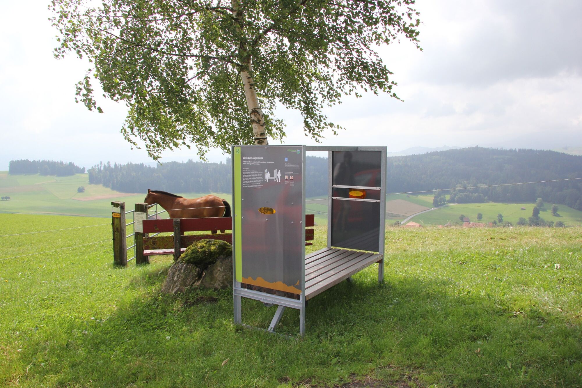
Der 5,3 km lange Rundweg führt durch die wunderbaren Landschaftsräume zwischen dem Taveldenkmal (Bütschel-Gschneit oberhalb von Riggisberg) und dem Ausflugsziel Bütschelegg.
- Difficoltà
-
facile
- Valutazione
-
- Percorso
-
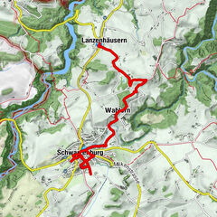
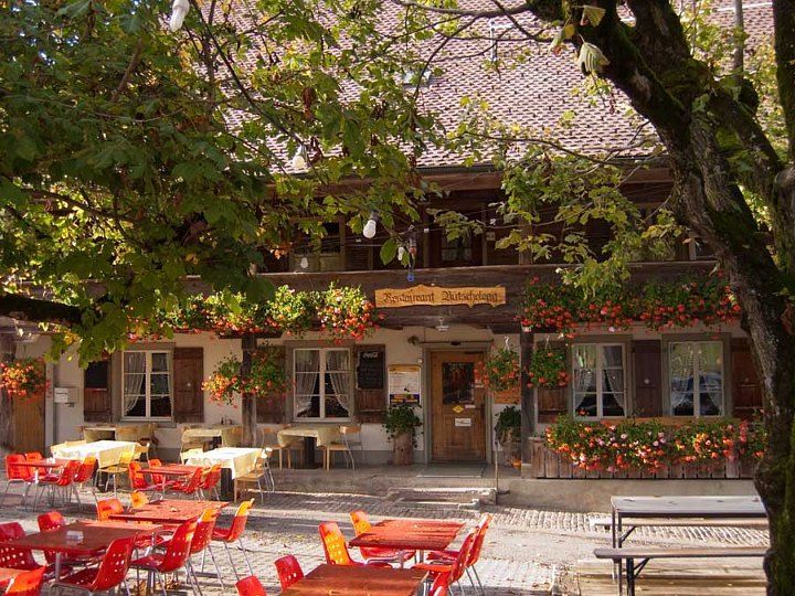
Oberbütschel2,1 kmBütschelegg2,8 kmRestaurant Bütschelegg3,1 kmBuchweid4,2 kmSternen4,8 km
- La stagione migliore
-
genfebmaraprmaggiulugagosetottnovdic
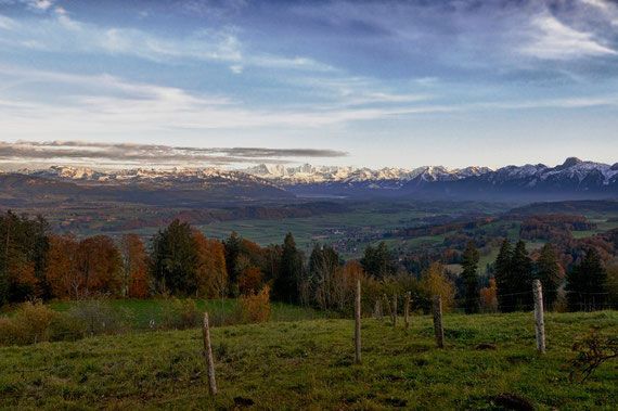
- Punto più alto
- 1.028 m
- Destinazione
-
bütschel, Taveldenkmal
- Profilo altimetrico
-
 © outdooractive.com
-

-
AutoreIl tour Musse Entschleunigungsweg - Längenberg è utilizzato da outdooractive.com fornito.
GPS Downloads


Info generali
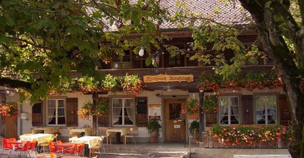
Punto di ristoro
Promettente
Altri tour nelle regioni
-
Biel Seeland
783
-
Naturpark Gantrisch
460
-
Toffen
152