© Unbekannt - Kandersteg Tourismus

© Unbekannt - Kandersteg Tourismus

© Unbekannt - Kandersteg Tourismus

© Unbekannt - Kandersteg Tourismus

- Descrizione rapida
-
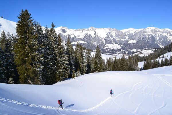
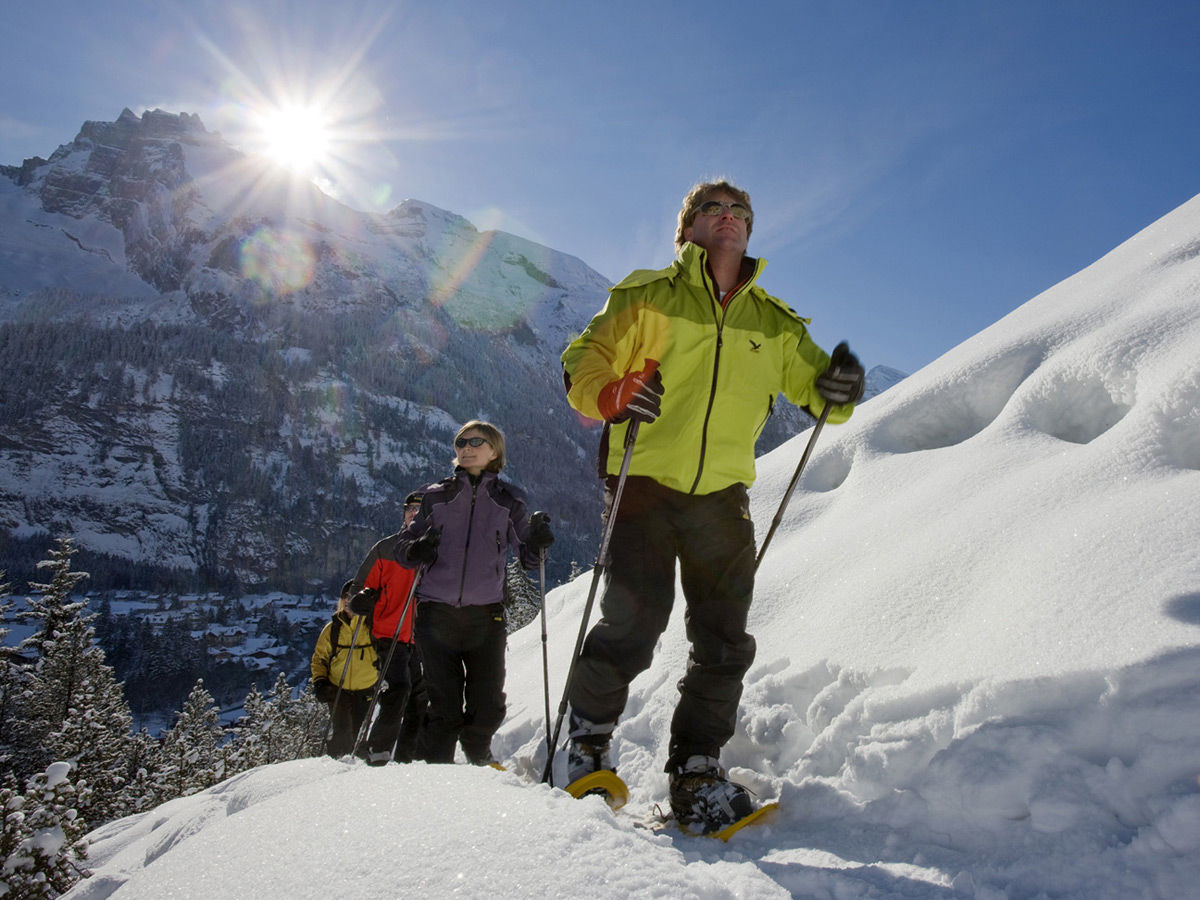
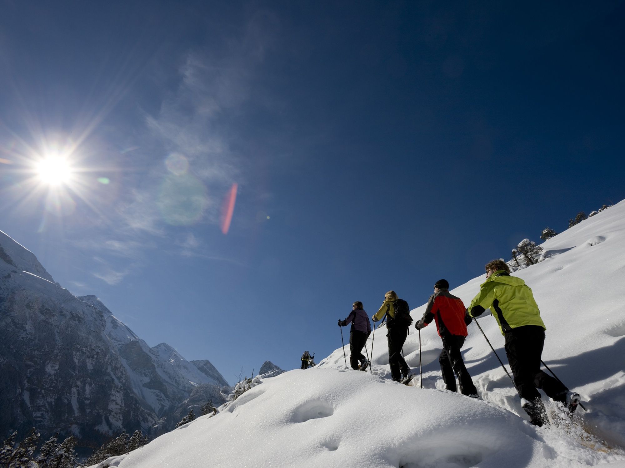
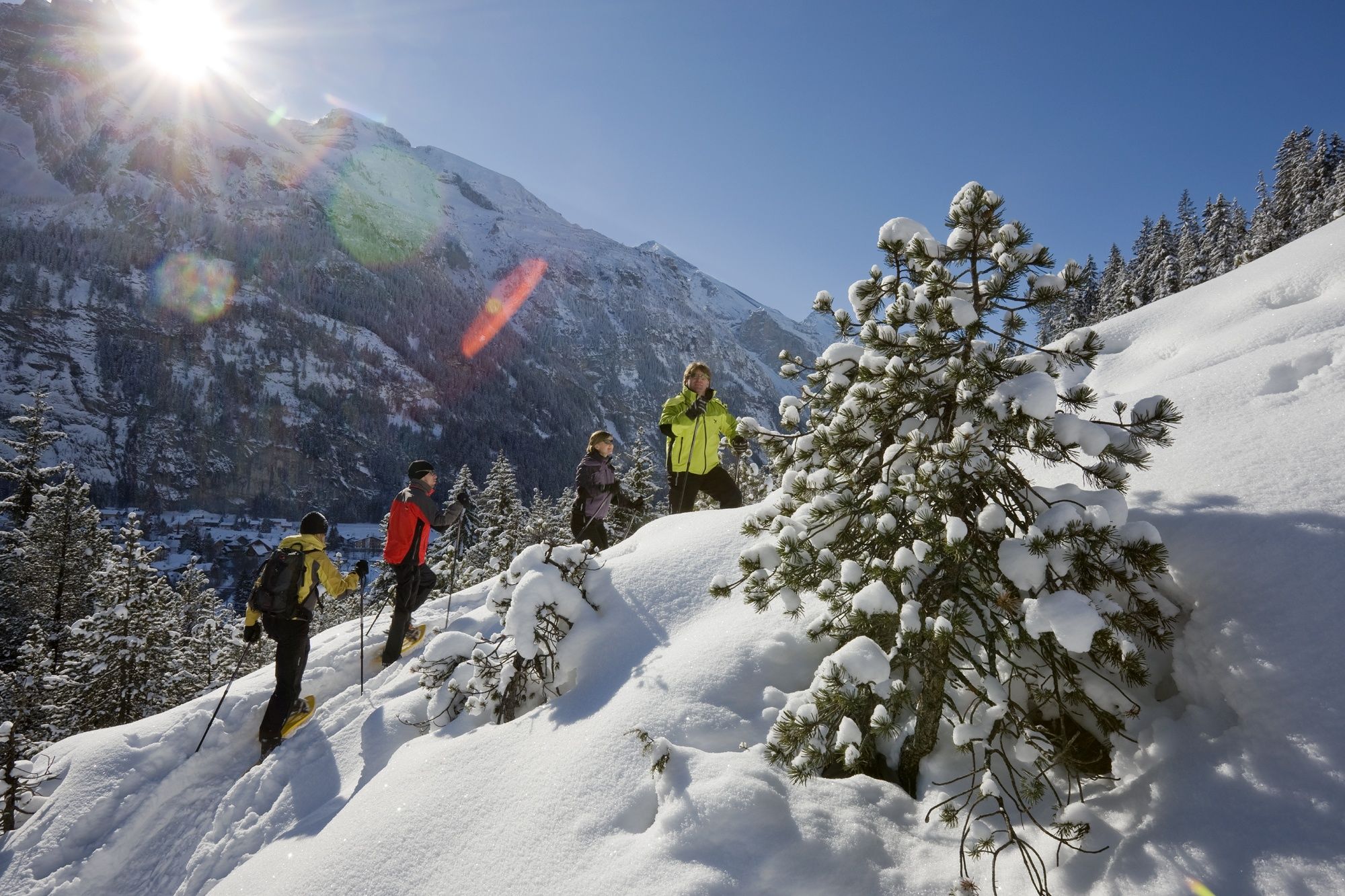
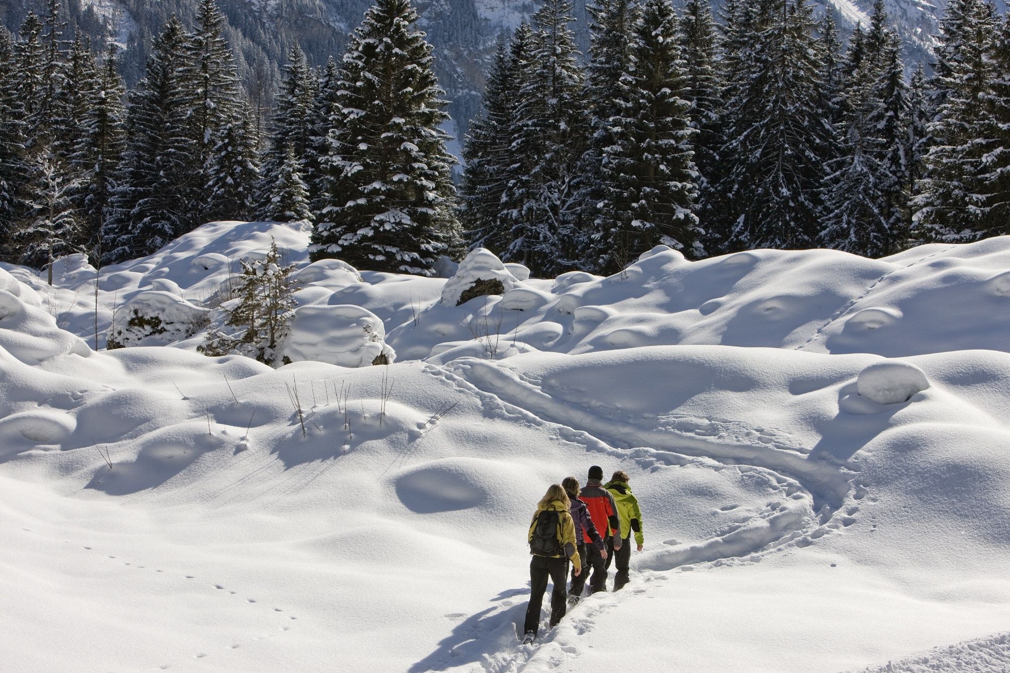
After the one-hour ascent to the viewpoint on the Höh (1279 m), you can enjoy the panoramic view over the village and the whole of the mountain chain of the UNESCO World Heritage Site. During the descent via the "Risete" you have enough time to let the many impressions you will have take effect on you.
- Difficoltà
-
facile
- Valutazione
-
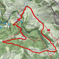
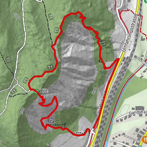
- Percorso
-
Höh0,7 kmKandersteg (1.174 m)2,0 km
- La stagione migliore
-
agosetottnovdicgenfebmaraprmaggiulug
- Punto più alto
- 1.305 m
- Destinazione
-
Kandersteg
- Profilo altimetrico
-
 © outdooractive.com
-

-
AutoreIl tour Panoramatour Höh - Kandersteg (signalisiert) è utilizzato da outdooractive.com fornito.
GPS Downloads


Info generali
Promettente
Altri tour nelle regioni