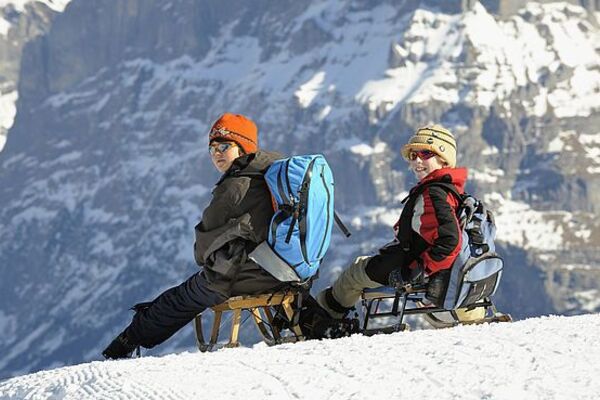
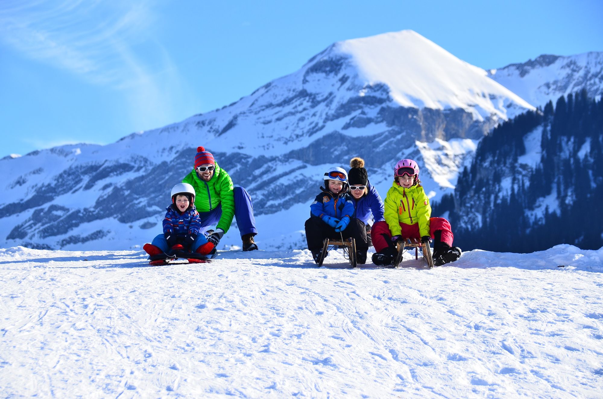
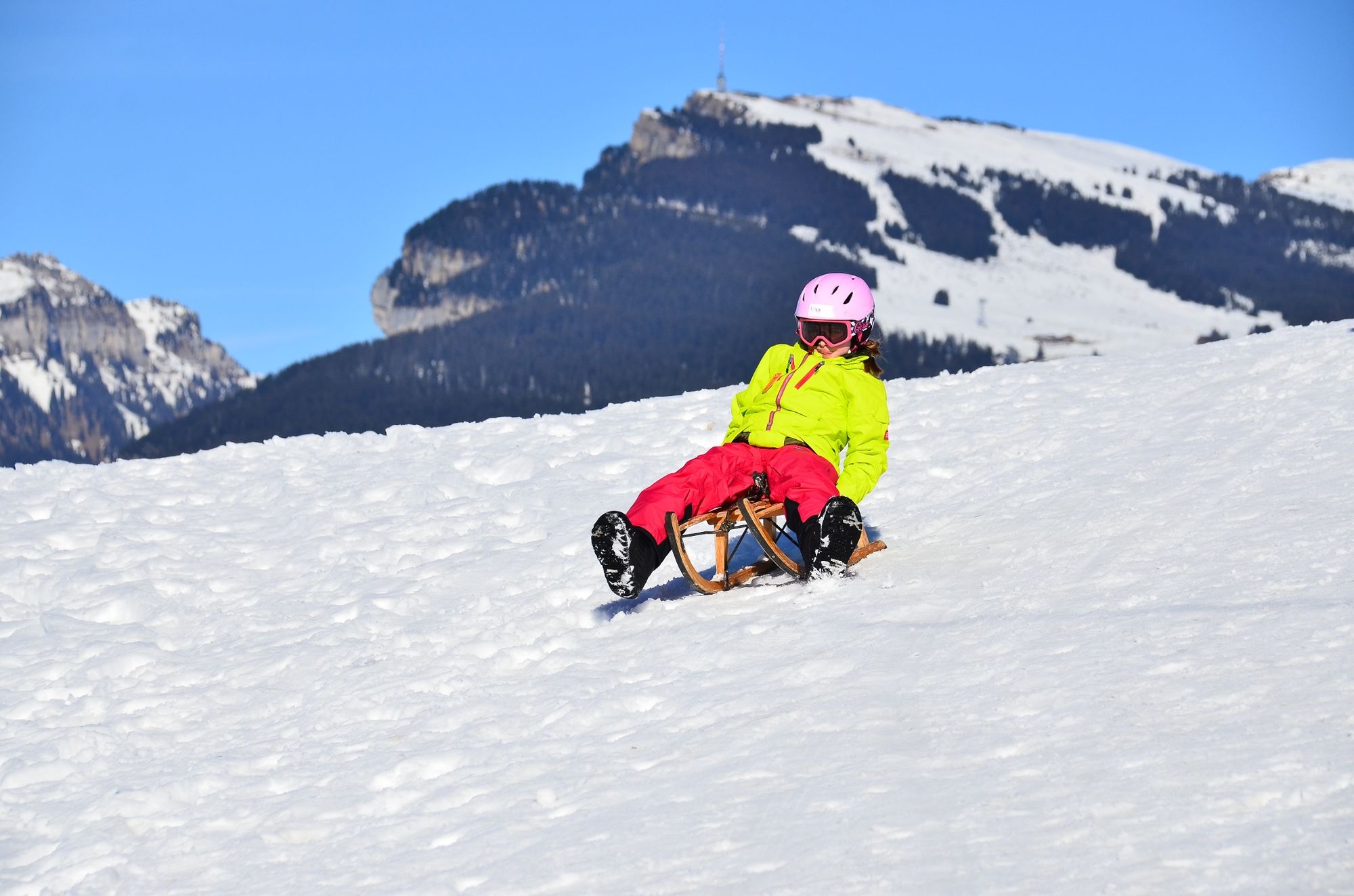
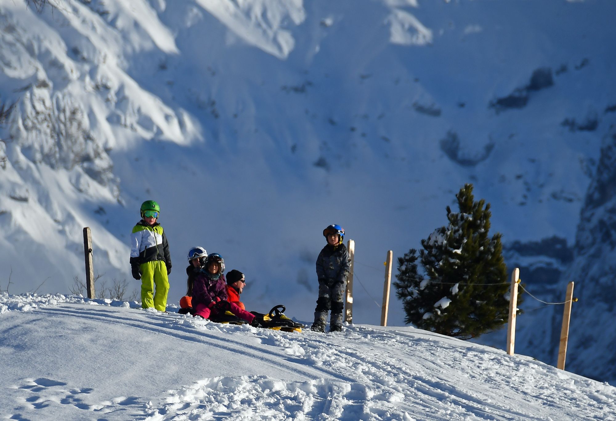
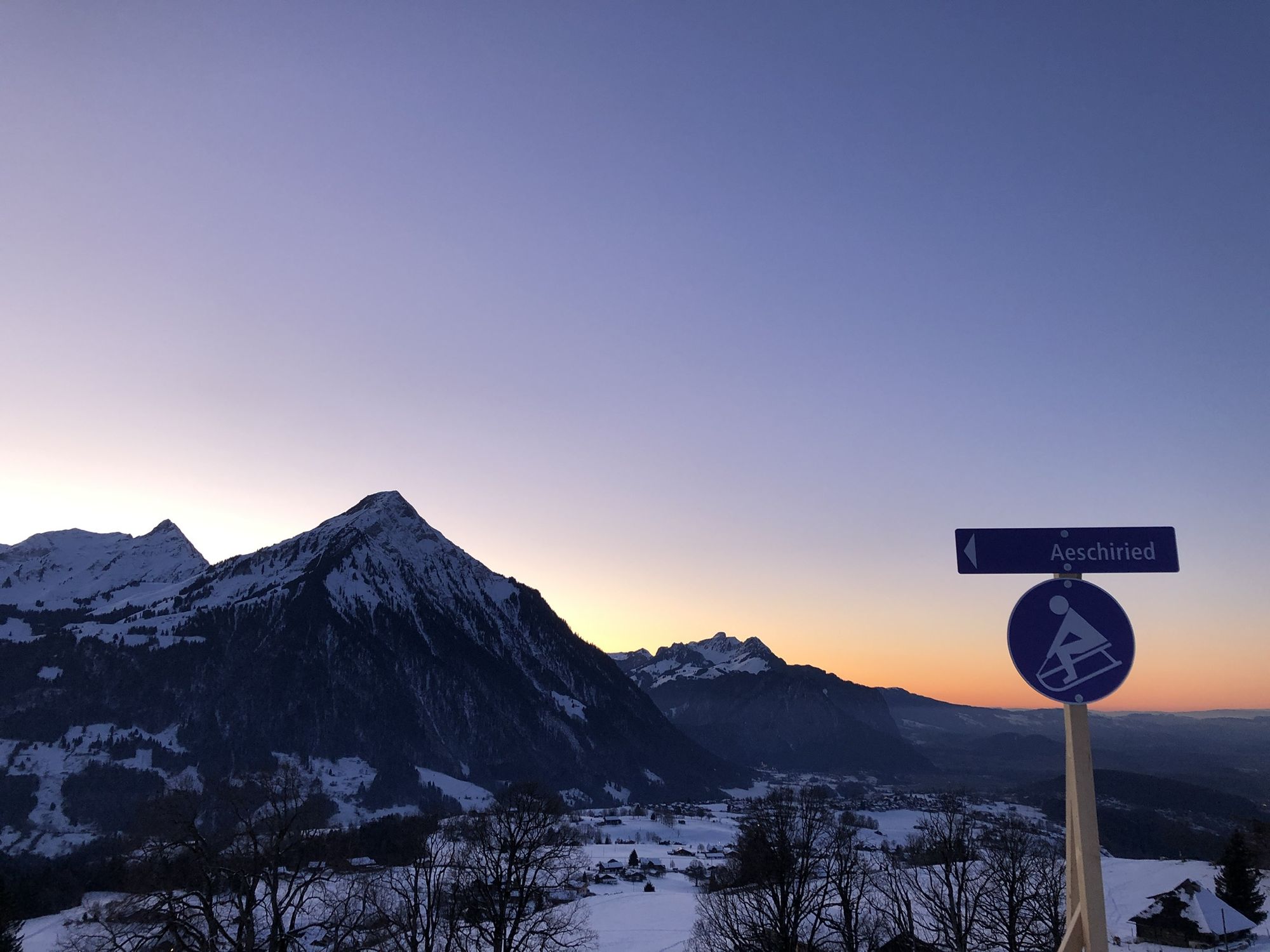
Aeschiried sledging run with magnificent views high above Lake Thun

Slittino


- Descrizione rapida
-
The sledging run starts on the Allmispitz and ends in Aeschiried (Scheidmatte), a few metres from the PostBus stop and the car park. There are several routes to choose from, all of which lead to the same end point.
- Difficoltà
-
intermedio
- Valutazione
-
- Percorso
-
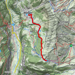
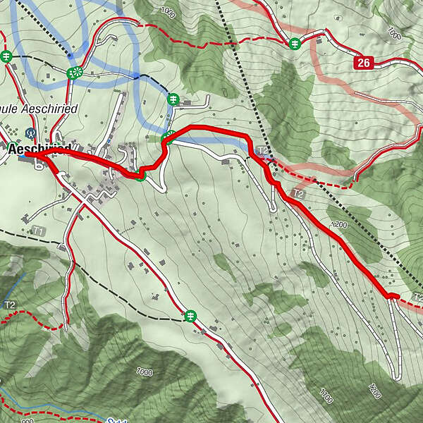
Aeschiried (1.015 m)0,0 kmPanorama0,1 kmPanorama3,0 km
- La stagione migliore
-
agosetottnovdicgenfebmaraprmaggiulug
- Punto più alto
- 1.266 m
- Destinazione
-
Aeschiried car park
- Profilo altimetrico
-
 © outdooractive.com

- Autore
-
Il tour Aeschiried sledging run with magnificent views high above Lake Thun è utilizzato da outdooractive.com fornito.
GPS Downloads


Info generali
Punto di ristoro
Suggerimento
Promettente
Altri tour nelle regioni
-
Oberwallis
95
-
Thunersee
49
-
Krattigen
8