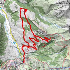
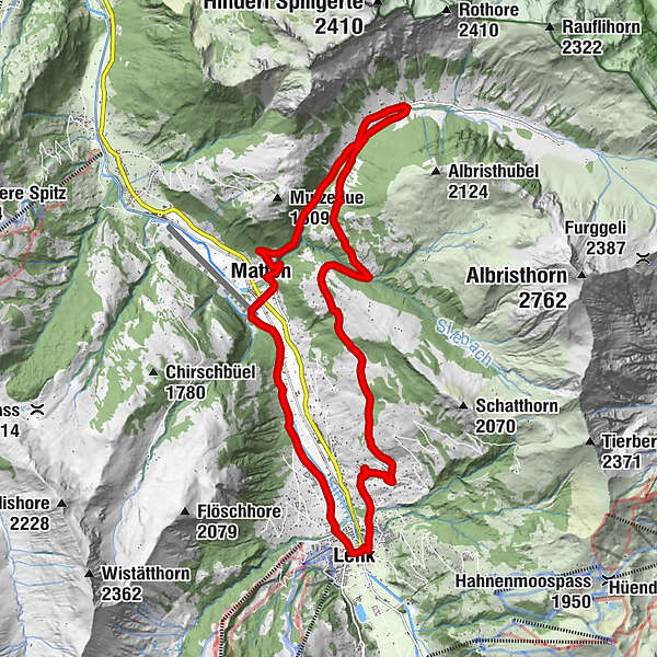
Lenk - Bleike Stafel - Obersteg - Färmeltal - Matten - Lenk

Bicicletta

© Lenk-Simmental Tourismus AG - Lenk-Simmental Tourismus

© Lenk-Simmental Tourismus AG - Lenk-Simmental Tourismus
- Descrizione rapida
-
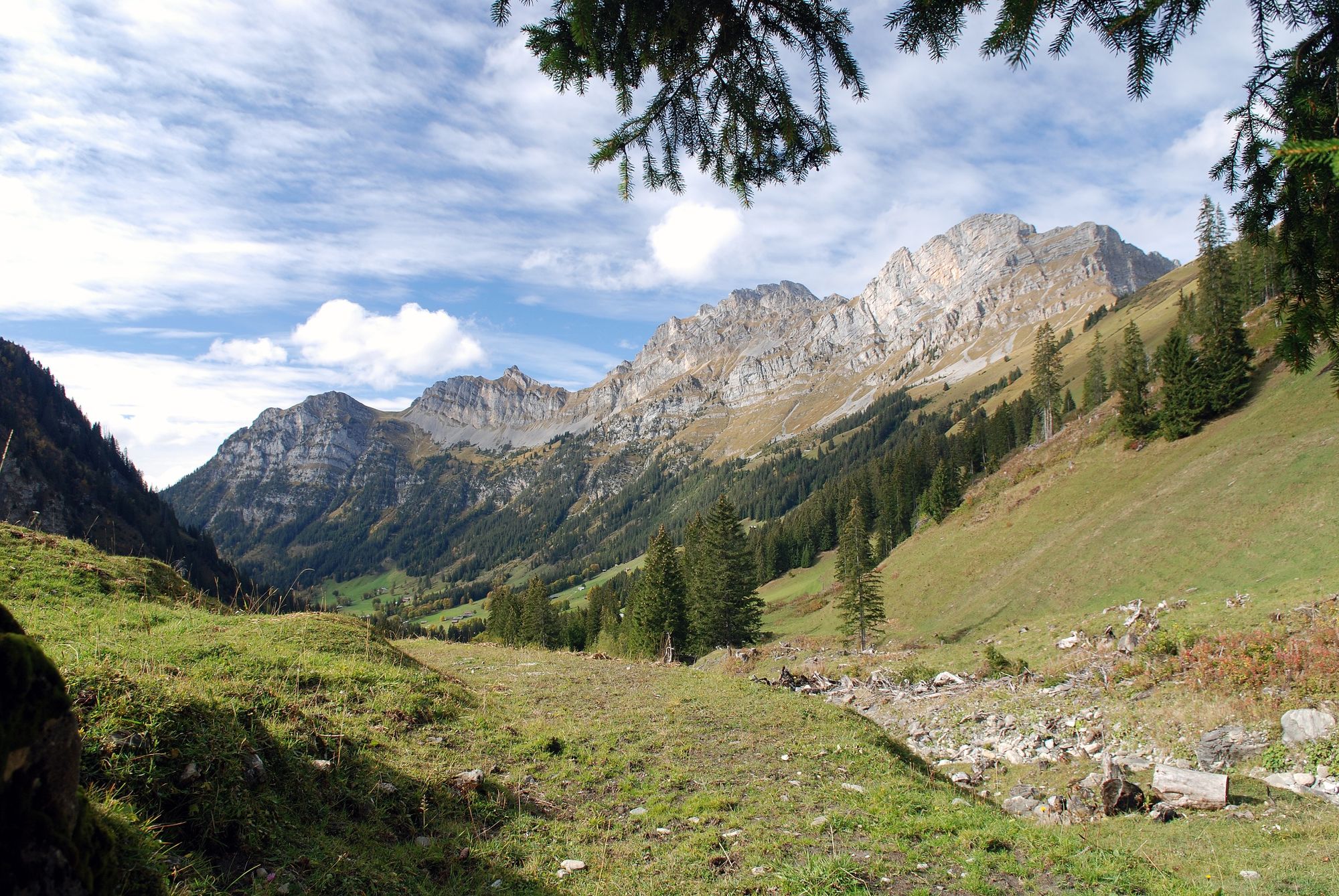
Easy e-bike tour from Lenk to the unspoilt Färmeltal.
- Difficoltà
-
facile
- Valutazione
-
- Percorso
-
Lenk im Simmental (1.068 m)Lenk (1.068 m)0,1 kmBachti10,6 kmZil10,8 kmStalde11,2 kmRestaurant Alpenrose11,4 kmSchwäfelbrünneli12,1 kmMatten14,9 kmBerghölzli15,0 kmLenk (1.068 m)20,3 kmLenk im Simmental (1.068 m)20,4 km
- La stagione migliore
-
genfebmaraprmaggiulugagosetottnovdic
- Punto più alto
- 1.439 m
- Destinazione
-
Lenk
- Profilo altimetrico
-
 © outdooractive.com

-

-
AutoreIl tour Lenk - Bleike Stafel - Obersteg - Färmeltal - Matten - Lenk è utilizzato da outdooractive.com fornito.
GPS Downloads


Info generali
Punto di ristoro
Promettente
Altri tour nelle regioni
-
Thyon les Collons
118
-
Lenk-Simmental
82
-
Lenk im Simmental
33