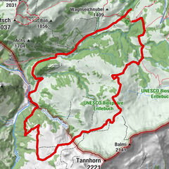

- Descrizione rapida
-
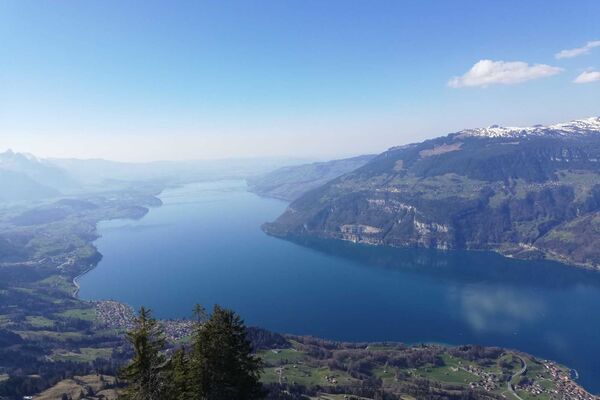
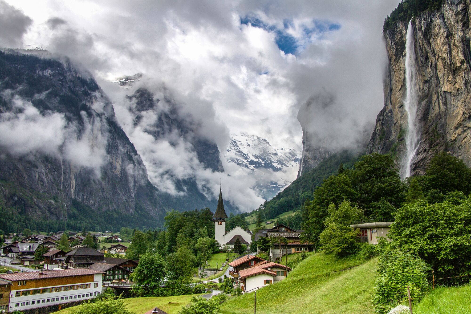
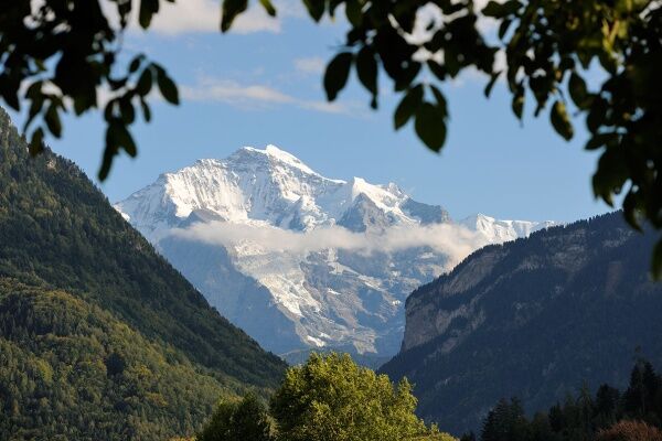
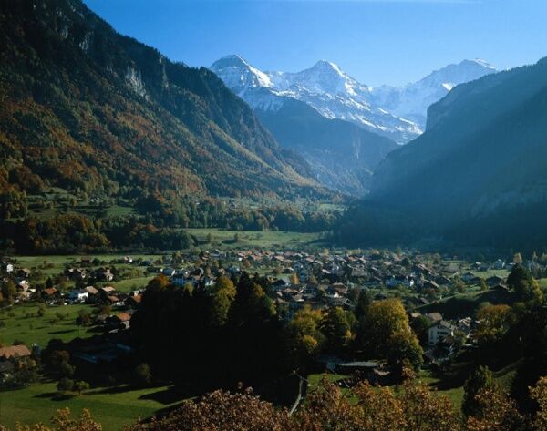
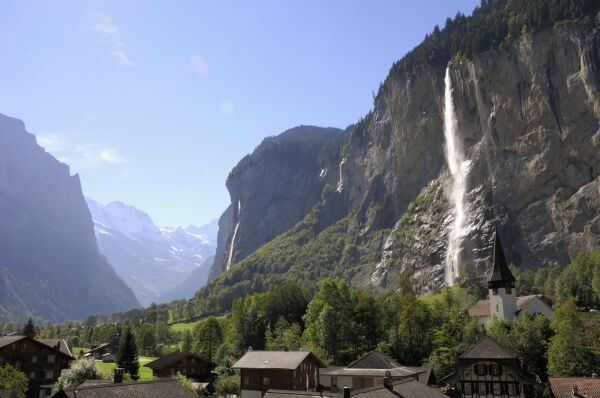
A scenic route along the River Lütschine with a constant but gentle ascent to Lauterbrunnen. There, the magnificent Staubbach Falls are a captivating sight.
- Difficoltà
-
facile
- Valutazione
-
- Percorso
-
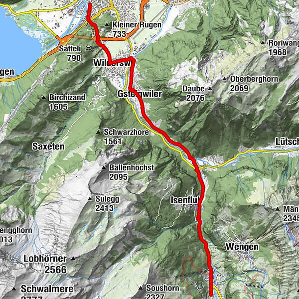
Interlaken West (564 m)Interlaken (568 m)Unterseen (567 m)Möösli0,2 kmWagneren0,6 kmWagnerschlucht0,7 kmUnspunnen1,2 kmWilderswil2,7 kmWilderswil (584 m)3,1 kmHirschen3,3 kmGsteig3,3 kmKirche Gsteig3,5 kmSteakhouse Steinbock3,5 kmGsteigwiler4,9 kmStation8,1 kmZweilütschinen8,2 kmZweilütschinen8,4 kmIsenfluh9,7 kmLauterbrunnen12,4 kmGsteigermatte12,5 kmFuhrenboden12,9 kmBeim Pfrundhaus13,0 kmCascada de Staubbach13,2 kmStaubbach13,2 kmBeim Schulhaus13,5 kmLauterbrunnen13,6 kmFood Point13,9 kmGreifenbach13,9 kmBei der Zuben14,1 kmSteinbock14,1 kmGydisegg14,4 kmIsenfluh16,5 kmZweilütschinen18,0 kmZweilütschinen18,2 kmStation18,4 kmGsteigwiler21,4 kmSteakhouse Steinbock22,9 kmKirche Gsteig22,9 kmGsteig23,1 kmHirschen23,2 kmWilderswil (584 m)23,3 kmWilderswil23,8 kmUnspunnen25,3 kmWagnerschlucht25,9 kmWagneren26,0 kmMöösli26,4 kmInterlaken West (564 m)26,5 kmInterlaken (568 m)26,6 kmUnterseen (567 m)26,6 km
- La stagione migliore
-
genfebmaraprmaggiulugagosetottnovdic
- Punto più alto
- 810 m
- Destinazione
-
Interlaken, Bahnhof West
- Profilo altimetrico
-
 © outdooractive.com
- Autore
-
Il tour Tour to the Valley of the 72 Waterfalls è utilizzato da outdooractive.com fornito.
GPS Downloads


Altri tour nelle regioni
-
Aletsch Arena
129
-
Interlaken
73
-
Gsteigwiler
28