© Unbekannt

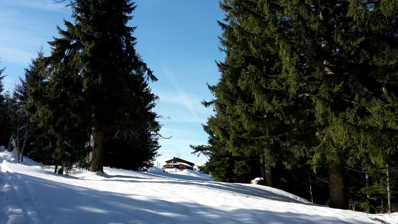
© Community - Marietta Koch

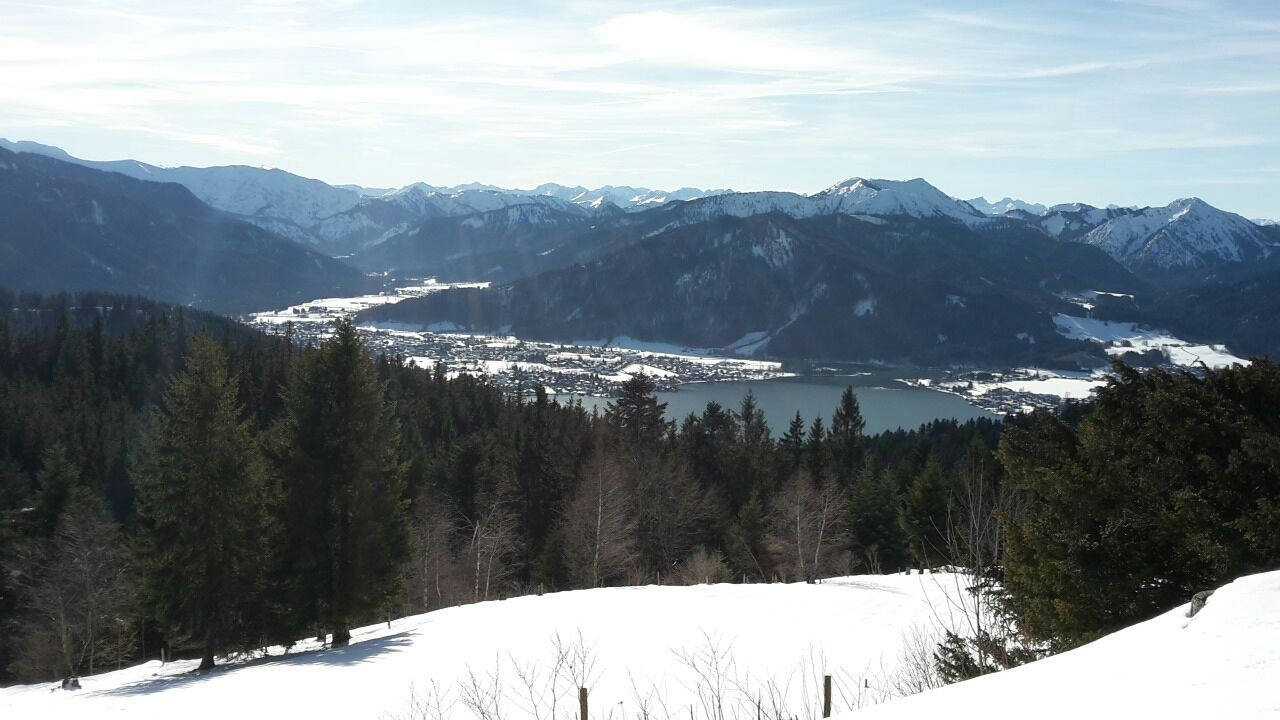
© Community - Marietta Koch

© DER TEGERNSEE - Hansi Heckmair


- Descrizione rapida
-
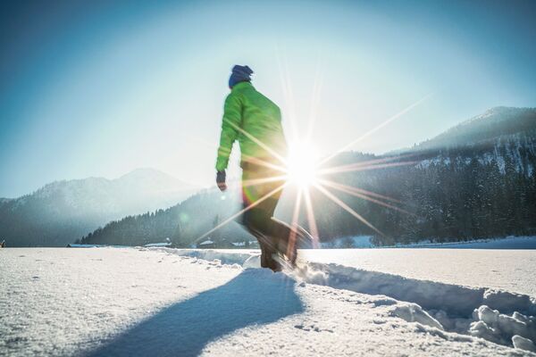
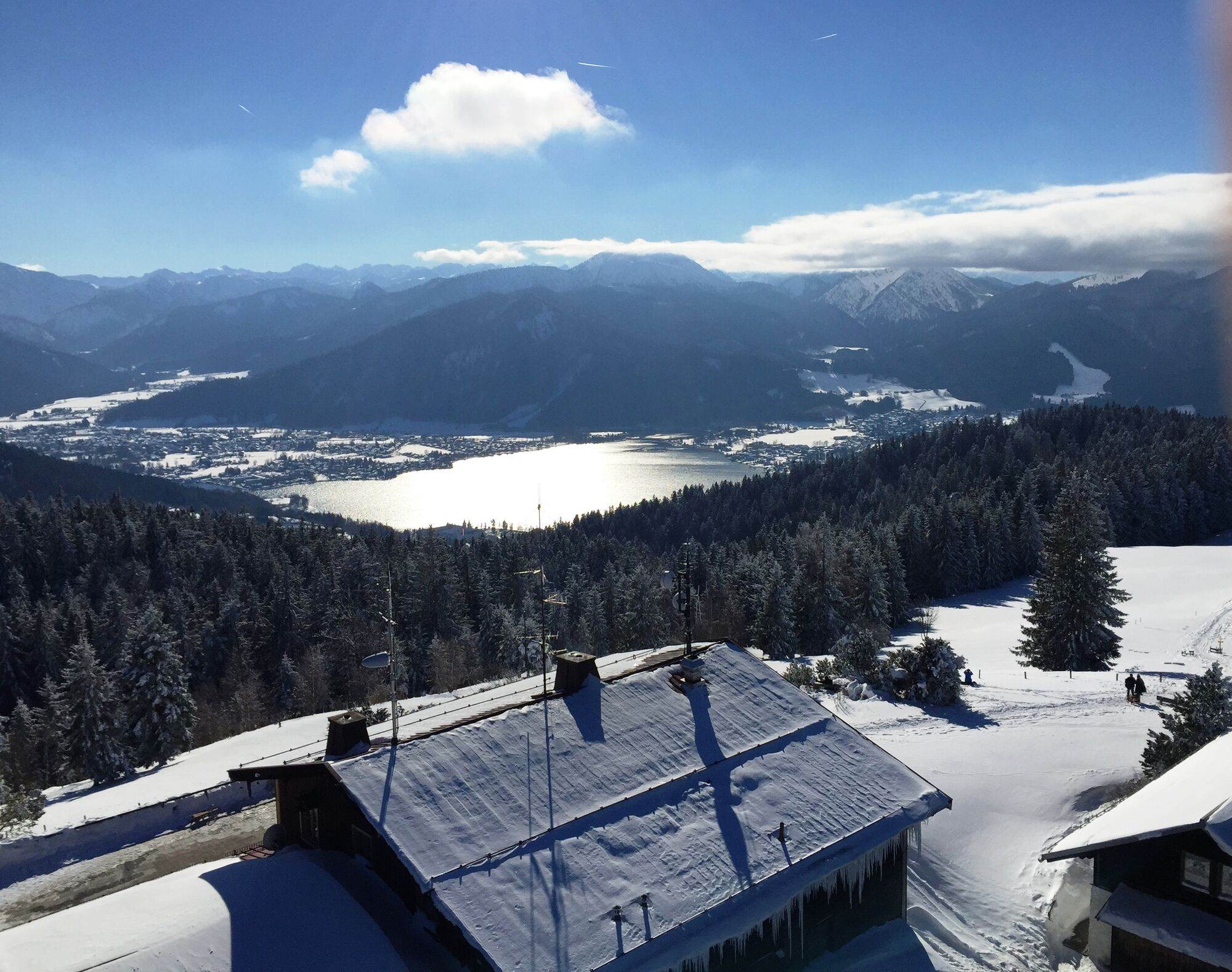
Winterwanderung mit schönen Ausblicken.
- Difficoltà
-
intermedio
- Valutazione
-
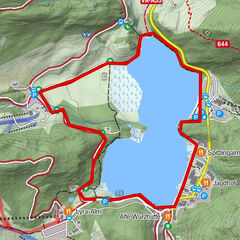
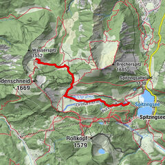
- Percorso
-
Berg0,2 kmOberbuchberg0,2 kmUnterbuchberg0,6 kmBerggasthof Neureuth3,6 kmNeureuth (1.261 m)3,6 kmNeureuth-Kapelle3,6 kmUnterbuchberg6,5 kmOberbuchberg6,7 kmBerg7,1 km
- La stagione migliore
-
agosetottnovdicgenfebmaraprmaggiulug
- Punto più alto
- 1.252 m
- Destinazione
-
Gmund, Ortsteil Gasse
- Profilo altimetrico
-
 © outdooractive.com
-

-
AutoreIl tour Von Gmund auf die Neureuth è utilizzato da outdooractive.com fornito.
GPS Downloads


Info generali
Punto di ristoro
Promettente
Altri tour nelle regioni