Dati percorsi
13,31km
785
- 995m
582hm
577hm
03:30h
- Difficoltà
-
facile
- Valutazione
-
- Percorso
-
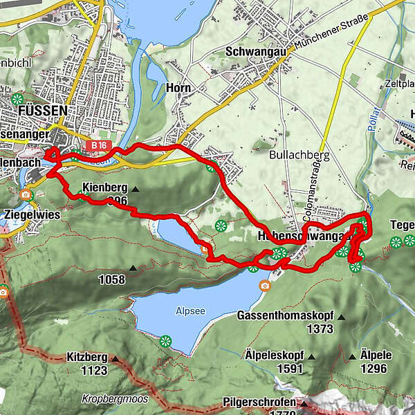
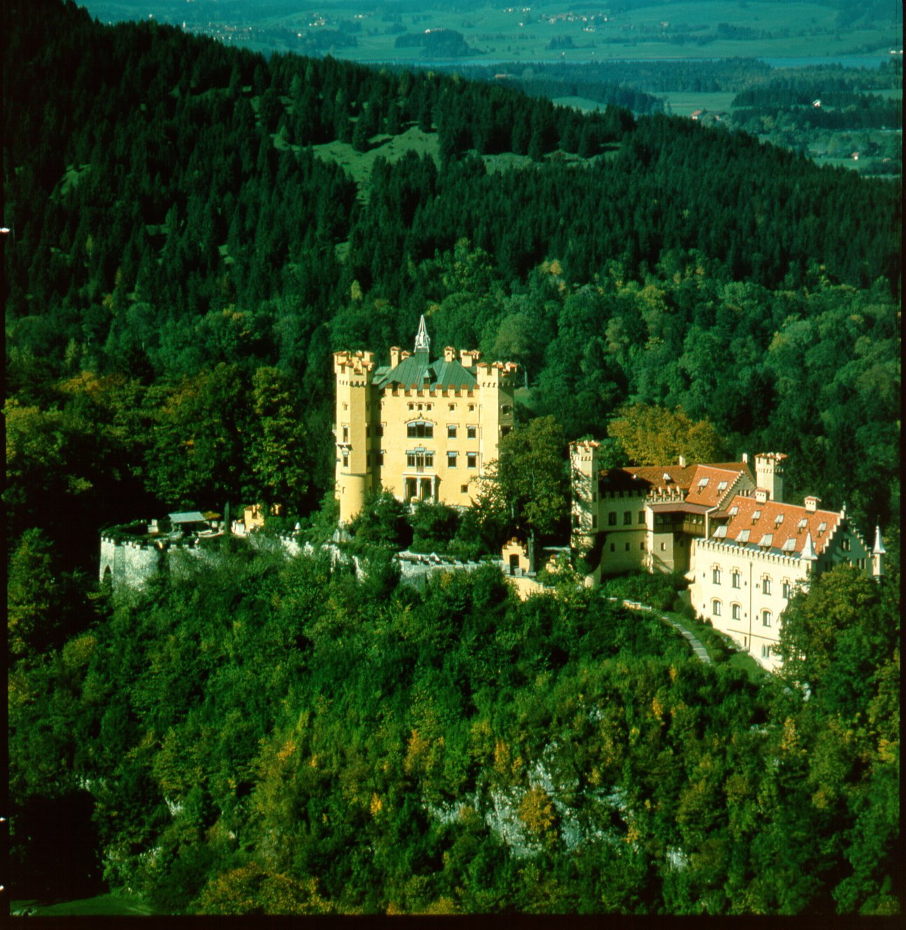
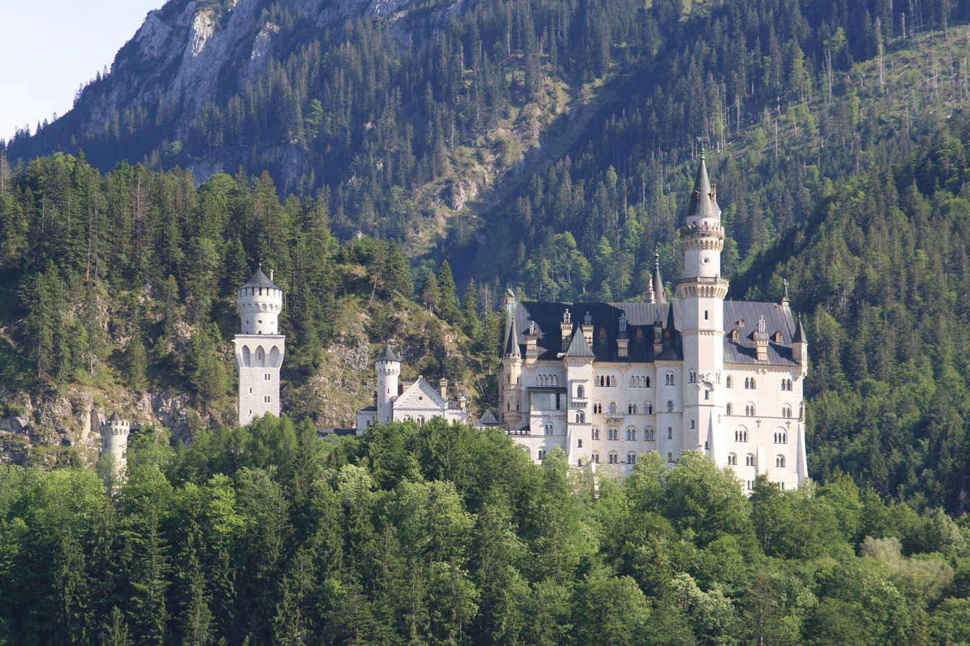
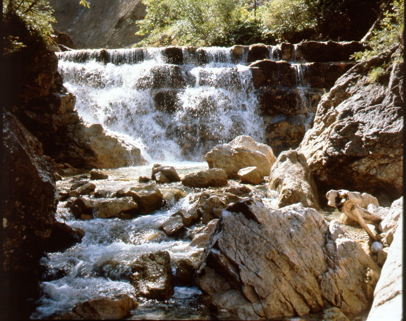
HohenschwangauQueen Mary's Bridge1,5 kmPöllatfall1,5 kmSchlossrestaurant Neuschwanstein2,4 kmWasserfall unterm Schloss2,8 kmStation 117,7 kmHeiligkreuz-Kapelle7,7 kmStation 127,7 kmStation 137,7 kmStation 14 Heiliggrab-Kapelle7,7 kmKalvarienberg (953 m)7,7 kmStation 107,7 kmStation 97,7 kmKerkerkapelle7,7 kmStation 87,7 kmStation 77,8 kmStation 67,8 kmStation 57,8 kmStation 47,9 kmMarienkapelle8,0 kmStation 38,0 kmStation 28,1 kmStation 18,2 kmAbschied-Jesu-Kapelle8,3 kmUnsere Liebe Frau am Berg8,3 kmMagnusblick8,5 kmSpitalkirche Hl. Geist8,6 kmFüssen (808 m)8,8 kmPfarrkirche St. Mang9,1 kmFranziskanerkirche St. Stephan9,5 kmWaldmann11,5 kmAlterschrofen11,5 kmHohenschwangau13,1 km
- Punto più alto
- 995 m
GPS Downloads


Condizioni dei sentieri
Asfalto
Ghiaia
Prato
Foresta
Roccia
Esposta
Altri tour nelle regioni
-
Allgäu
2365
-
Naturparkregion Reutte
1435
-
Hohenschwangau
531