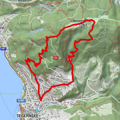
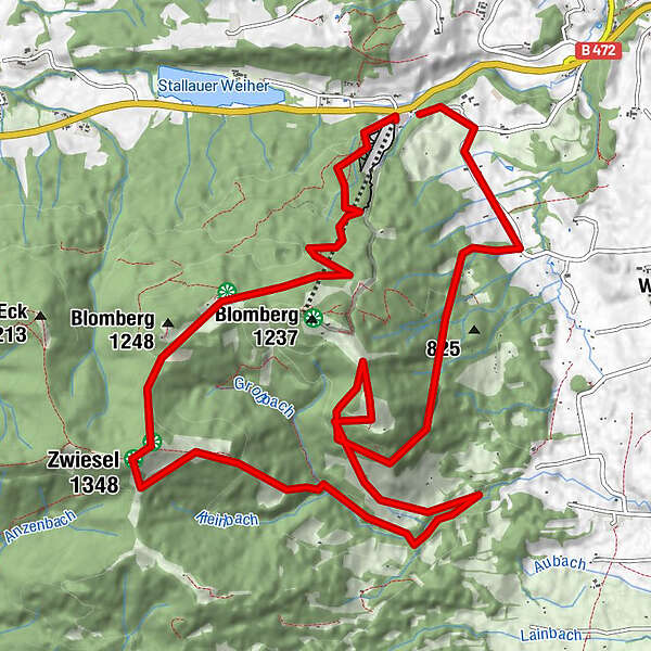
Dati percorsi
15,6km
702
- 1.332m
1.040hm
03:53h
- Descrizione rapida
-
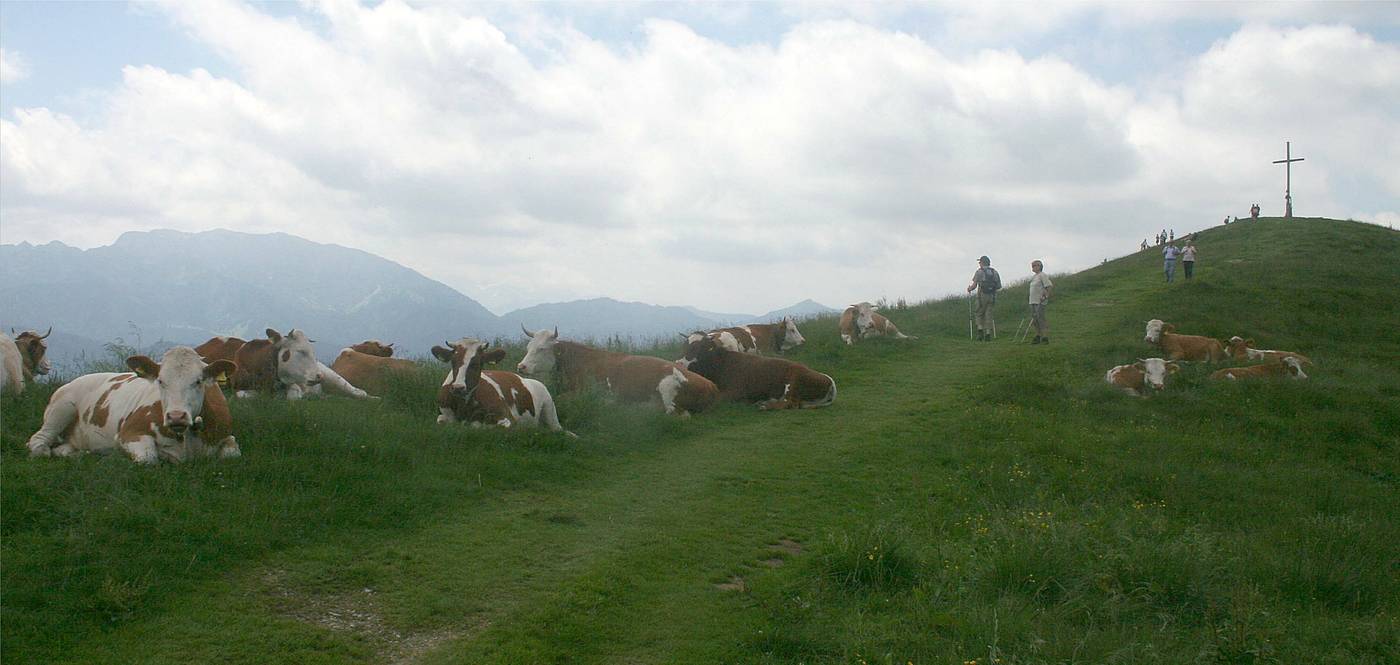
einfache Bergwanderung
- Valutazione
-
- Punto di partenza
-
Blombergbahn
- Percorso
-
Waldfernseher2,1 kmBerggasthof Blomberghaus2,9 kmZwiesel (1.348 m)4,3 kmHeigelkopf (1.218 m)9,9 km
- Punto più alto
- 1.332 m
- Riposo/Ritiro
-
Blombergtenne, Blomberghaus und Waldherralm
- Cartine
-
Tölzer Land Tourismus
GPS Downloads


Condizioni dei sentieri
Asfalto
Ghiaia
Prato
Foresta
Roccia
Esposta
Altri tour nelle regioni
-
Tölzer Land
855
-
Wackersberg
226