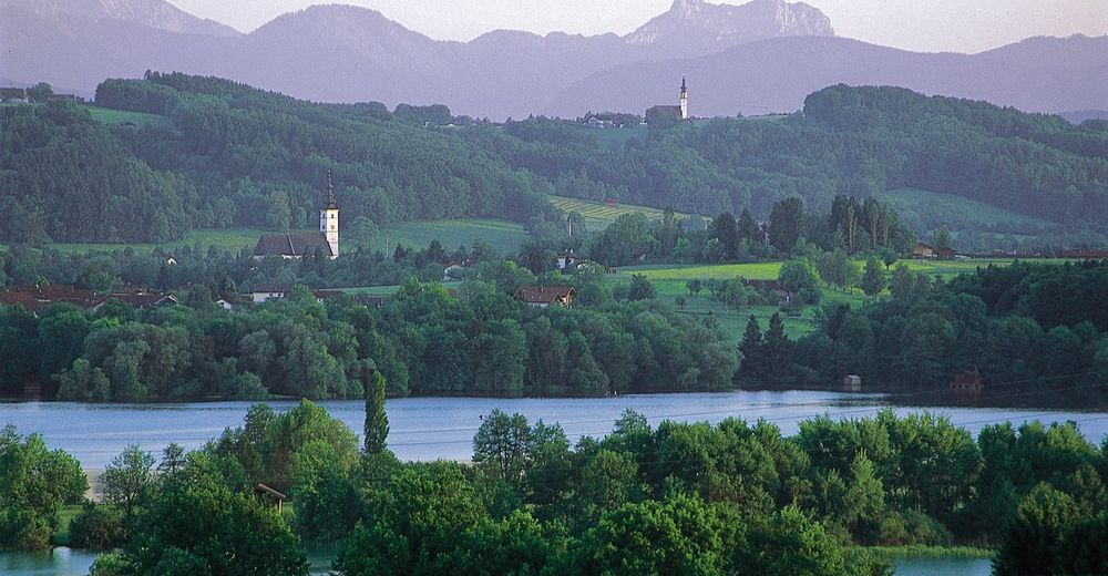
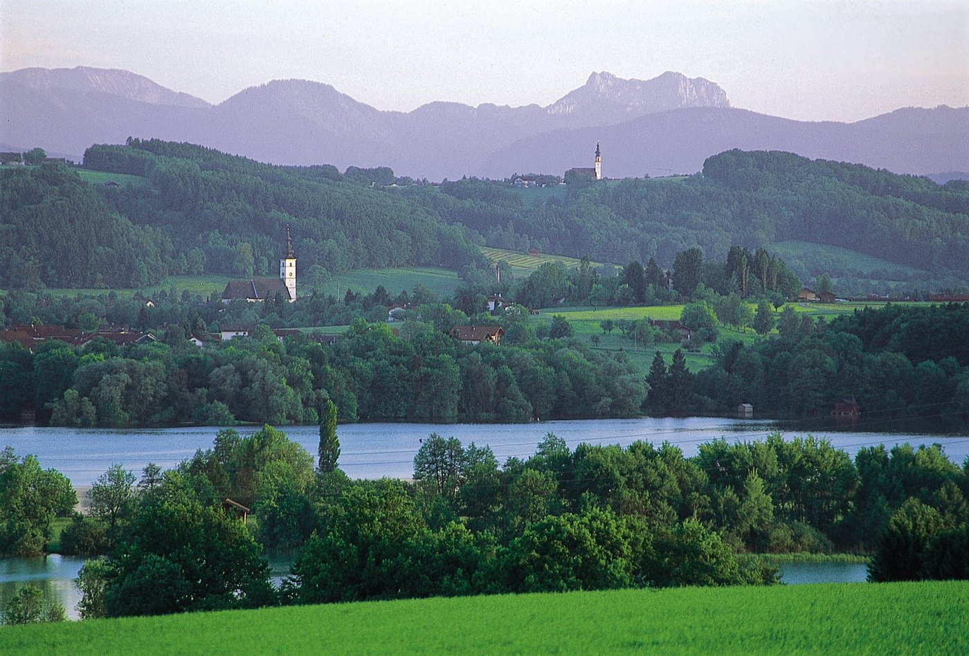
© Waging am See
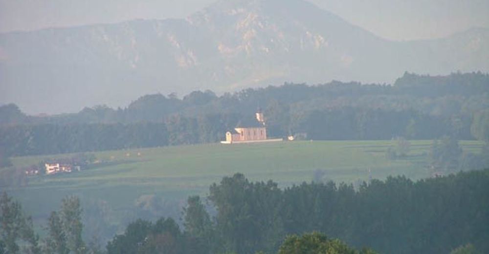
© Tourist-Info Waginger See
Dati percorsi
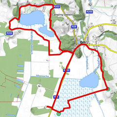
7,01km
447
- 484m
52hm
02:30h

- Descrizione rapida
-
Leichte Wanderung zwischen den Orten Wolkersdorf und Lampolding
- Valutazione
-
- Punto di partenza
-
Wolkersdorf
- Percorso
-
WolkersdorfLohen0,9 kmRöhrmoos1,3 kmHausen2,2 kmKothaich3,8 kmKirchstein4,4 kmLampoding4,9 kmWolkersdorf6,9 km
- Punto più alto
- 484 m
- Cartine
-
Tourist-Information Kirchanschöring
Rathausplatz 2, 83417 Kirchanschöring
Tel. 0049 (0) 8685 7793920
Fax 0049 (0) 8685 7793930
E-Mail info@kirchanschoering.de
www.kirchanschoering.de

GPS Downloads


Condizioni dei sentieri
Asfalto
Ghiaia
Prato
Foresta
Roccia
Esposta
Altri tour nelle regioni
-
Waginger See
628
-
Kirchanschöring
101