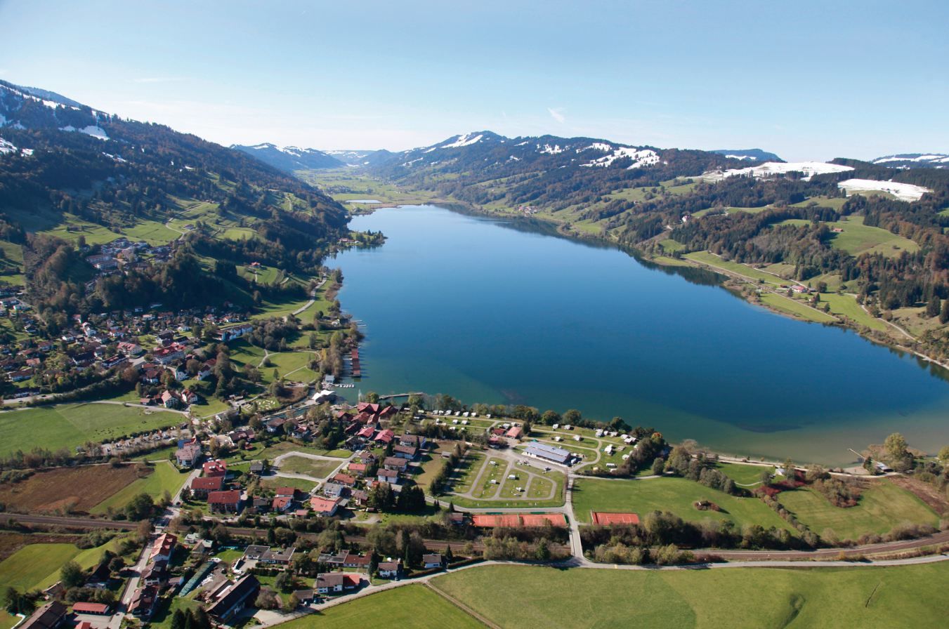
© Alpsee Camping
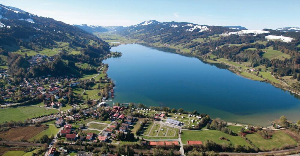
© Alpsee Camping

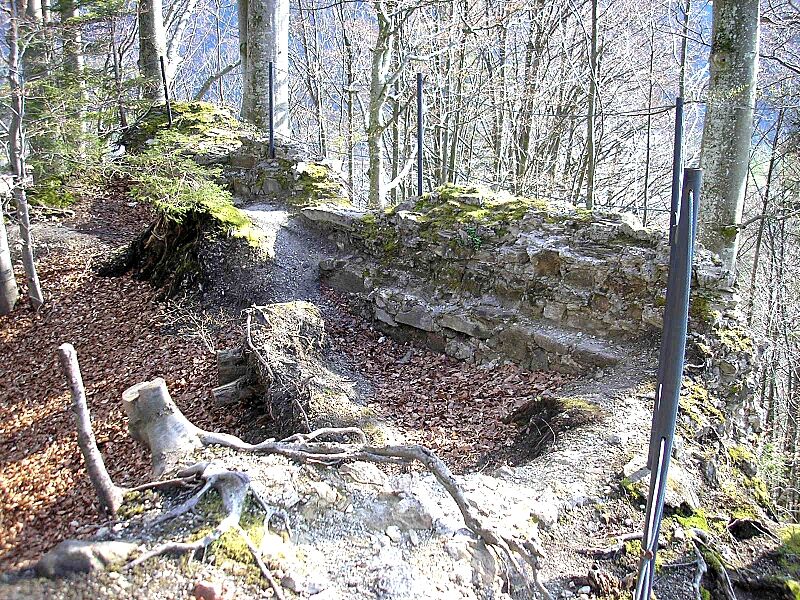
© https://commons.wikimedia.org/w/index.php?curid=4002274 - Unbekannt

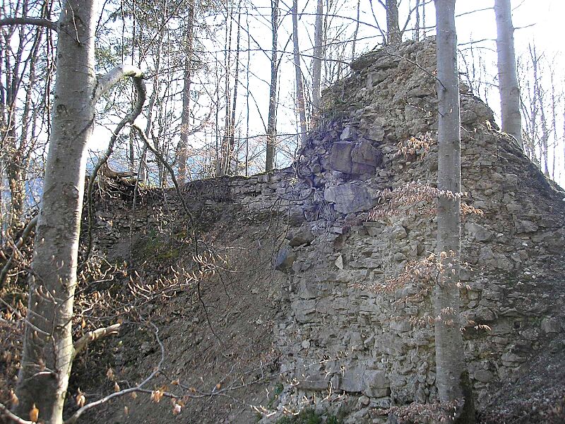
© https://commons.wikimedia.org/w/index.php?curid=4002266 - Unbekannt

- Descrizione rapida
-
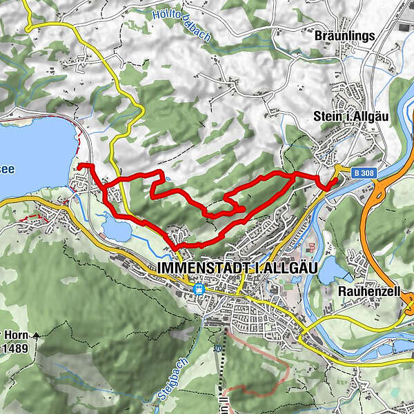
Vorbei an historischen Burgruinen auf Wald- und Wiesenwegen zur Ruine Laubenbergerstein
- Difficoltà
-
intermedio
- Valutazione
-
- Percorso
-
Alpsee Küche0,0 kmWeihergut1,3 kmRothenfels-Alpe (zeitw. bew.)3,5 kmImmenstadt i.Allgäu (729 m)6,9 kmAlpsee Küche9,4 km
- La stagione migliore
-
genfebmaraprmaggiulugagosetottnovdic
- Punto più alto
- 848 m
- Destinazione
-
Alpsee Camping
- Profilo altimetrico
-
 © outdooractive.com

- Autore
-
Il tour Burgenrunde um Immenstadt è utilizzato da outdooractive.com fornito.
GPS Downloads


Info generali
Punto di ristoro
Culturale/Storico
Flora
Promettente
Altri tour nelle regioni
-
Allgäu
2357
-
Oberallgäu
1584
-
Immenstadt im Allgäu
420