Dati percorsi
4,35km
393
- 403m
6hm
4hm
01:04h
- Descrizione rapida
-
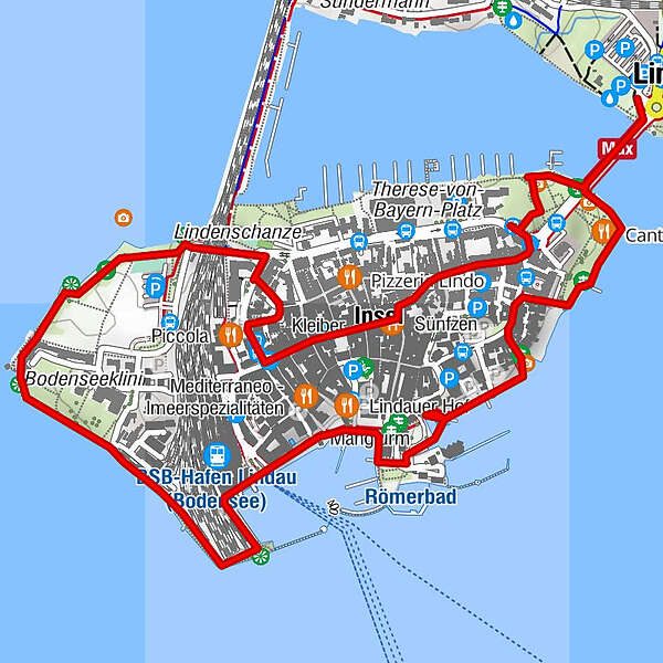
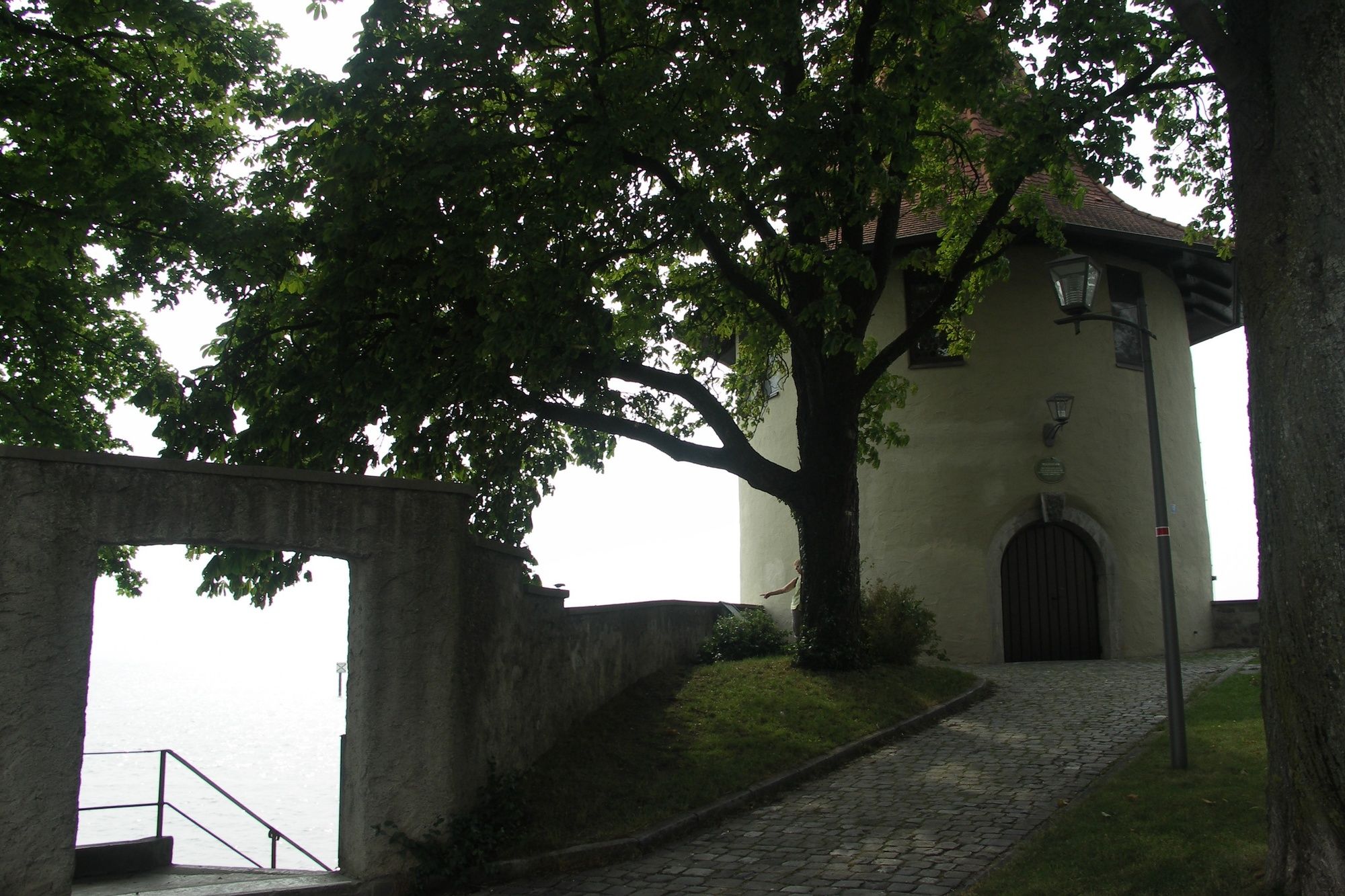
Dieser Rundweg um die Insel Lindau führt uns an den schönsten Sehenswürdigkeiten der Insel vorbei.
- Difficoltà
-
facile
- Valutazione
-
- Percorso
-
Gerberschanze0,7 km31,4 km21,4 km11,5 kmPulverschanze2,3 kmPeterskirche3,1 kmInsel3,4 kmSt. Stephan3,7 kmLindau (Bodensee) (401 m)4,3 km
- La stagione migliore
-
genfebmaraprmaggiulugagosetottnovdic
- Punto più alto
- 403 m
- Profilo altimetrico
-
 © outdooractive.com
- Autore
-
Il tour Rundweg um die Insel Lindau è utilizzato da outdooractive.com fornito.
GPS Downloads


Info generali
Punto di ristoro
Culturale/Storico
Promettente
Altri tour nelle regioni
-
St. Gallen - Bodensee
2064
-
Lindau - Bodensee Bayern
1111
-
Bodolz
126