© Gästeamt Bolsterlang
© Gästeinformation Bolsterlang - Marc Vogel
Dati percorsi
17,29km
852
- 1.644m
869hm
860hm
07:30h
- Descrizione rapida
-
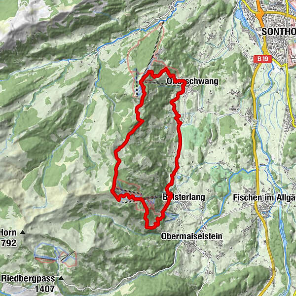
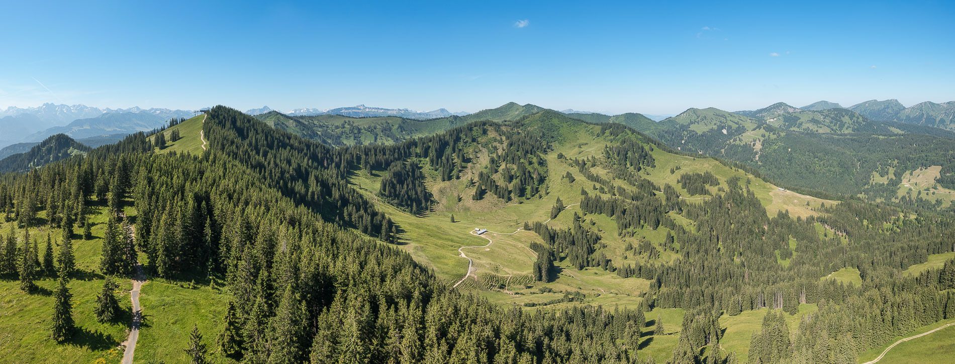
Der unangefochtene Klassiker in den Hörnerdörfern ist ohne Frage die Hörner Panorama-Tour. Mit nur leichten Auf- und Abstiegen gespickt, bietet sich dieser Wanderweg auch für Familien mit geringer Wandererfahrung an.
- Difficoltà
-
intermedio
- Valutazione
-
- Punto di partenza
-
Hörnerbahn Talstation oder Talstation Ofterschwanger Bergbahn
- Percorso
-
Talhütte0,2 kmSkiclub Ochsenhausen3,3 kmHexn Stadl3,5 kmWeiherkopf (1.665 m)5,1 kmAlpe Fahnengehren8,6 kmWeltcuphütte10,0 kmSpielplatz Hochbichlhütte10,6 kmHochbichlhütte10,7 kmWurzelhütte (932 m)12,0 kmCortina12,2 kmOfterschwang12,4 kmSchlitte Hitte12,4 kmSigiswang14,5 kmKierwang15,8 kmMarienkapelle16,1 km
- La stagione migliore
-
genfebmaraprmaggiulugagosetottnovdic
- Punto più alto
- 1.644 m
- Riposo/Ritiro
-
Talhütte, s´mibbadin, Hörni´s Nest, Hörnerhaus, Rangiswanger Alpe, Fahnengehren Alpe, Weltcup Hütte, Wurzelhütte
- Cartine
-
Zumstein Wanderkarte 1:30.000 oder Wanderkarte der Hörnerdörfer

GPS Downloads


Condizioni dei sentieri
Asfalto
Ghiaia
Prato
Foresta
Roccia
Esposta
Altri tour nelle regioni
-
Allgäu
2365
-
Alpsee-Grünten
1691
-
Bolsterlang / Hörnerdörfer
483