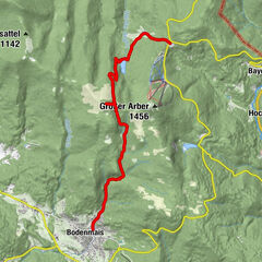
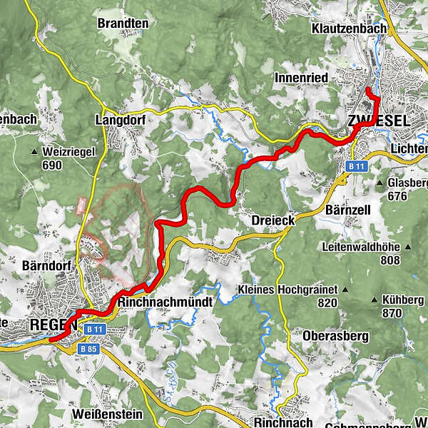
Flusswanderweg von Regen nach Zwiesel ab Bahnhof Regen

Escursionismo

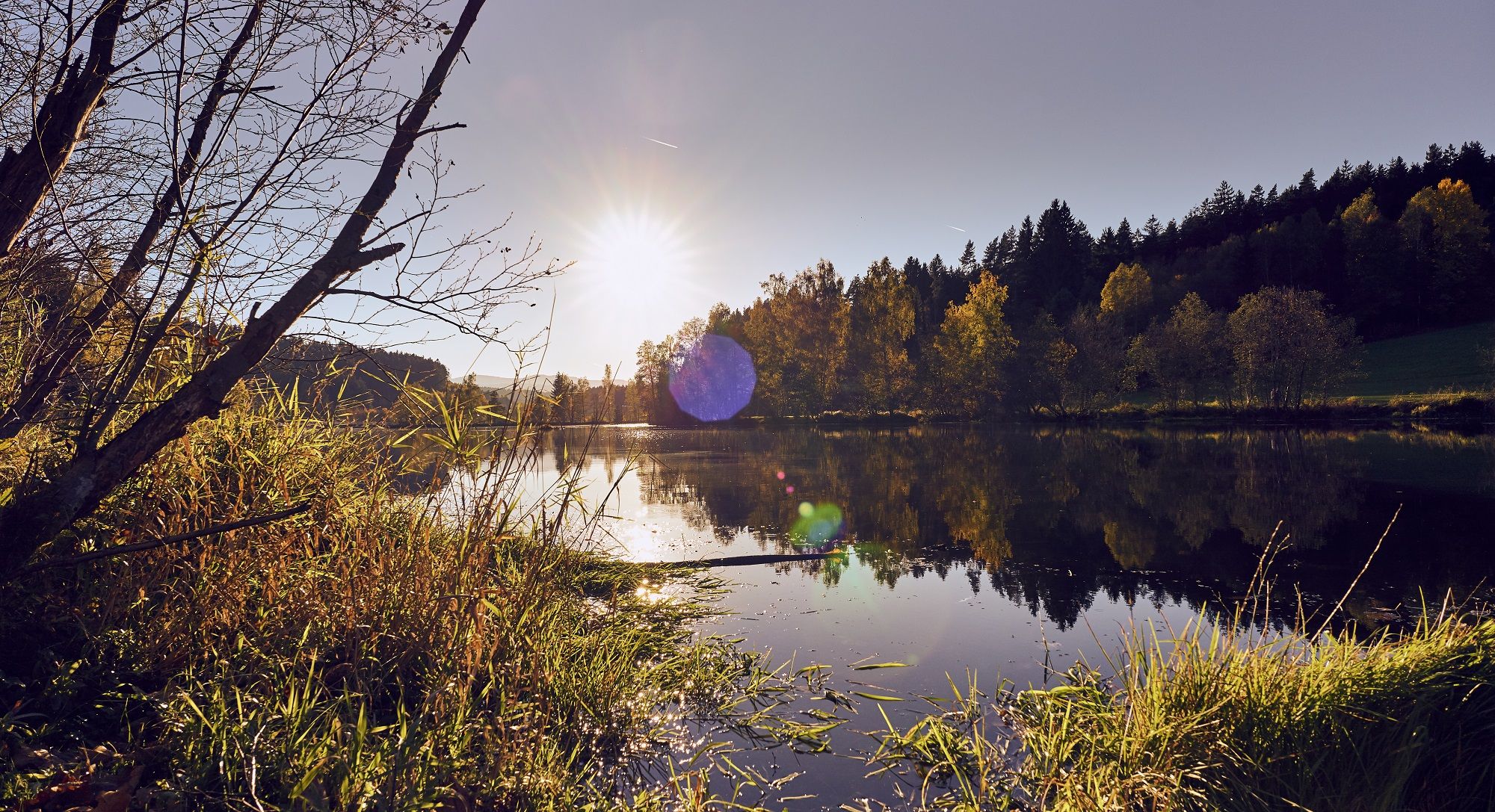
© Arberland Regio - Marco Felgenhauer, woidlife
Dati percorsi
13,61km
521
- 576m
61hm
32hm
03:32h

Die Länderbahn GmbH DLB
- Descrizione rapida
-
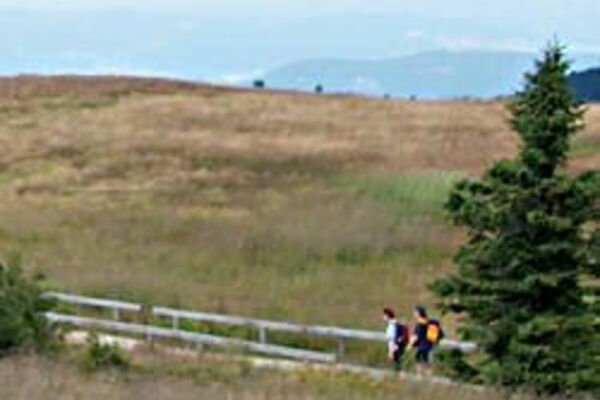
Die Flusswanderung hat eine Länge von ca. 16km und eine mittlere Schwierigkeitsstufe. Die Wanderung erfolgt auf naturbelassene Wege.
- Percorso
-
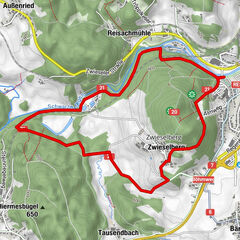
Regen0,2 kmBettmannsäge7,5 kmKohlnberg8,4 kmZwiesel12,6 km
- Punto più alto
- 576 m
- Destinazione
-
Bahnhof Zwiesel
- Profilo altimetrico
-
 © outdooractive.com
- Autore
-
Die Länderbahn GmbH DLBIl tour Flusswanderweg von Regen nach Zwiesel ab Bahnhof Regen è utilizzato da outdooractive.com fornito.
GPS Downloads


Altri tour nelle regioni
-
Bayerischer Wald
520
-
Langdorf
215