© Marktplatz Tann


© Markt Tann - Adi Fürstberger

© Markt Tann - Adi Fürstberger

© Markt Tann - Adi Fürstberger

- Descrizione rapida
-
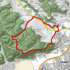
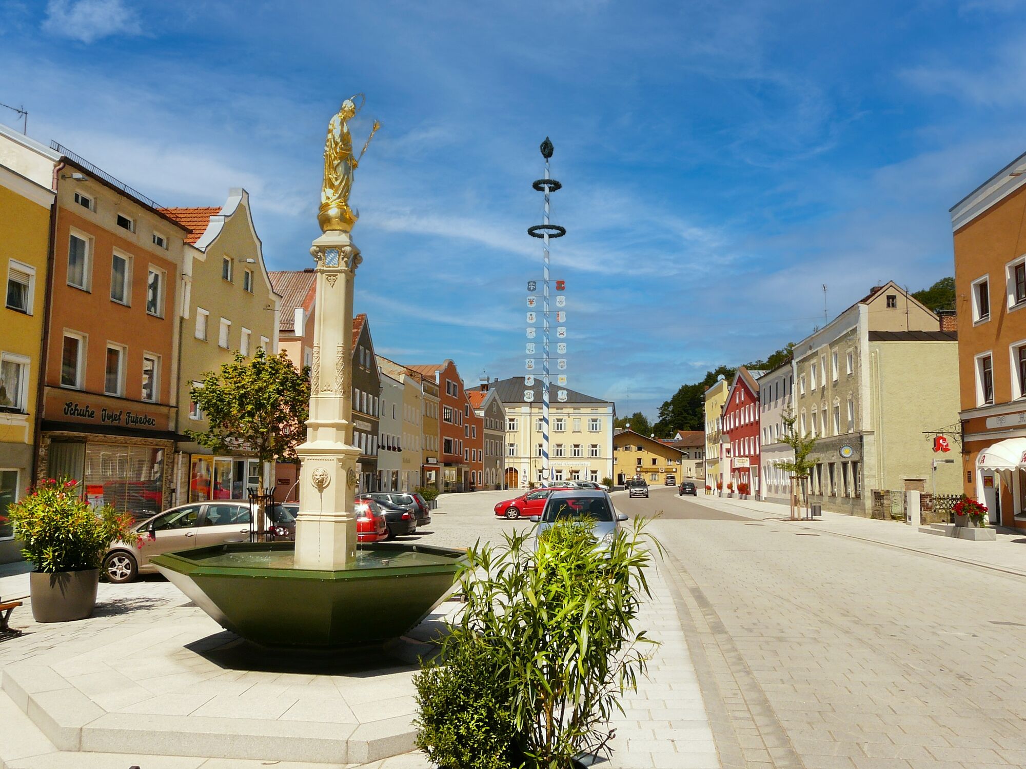
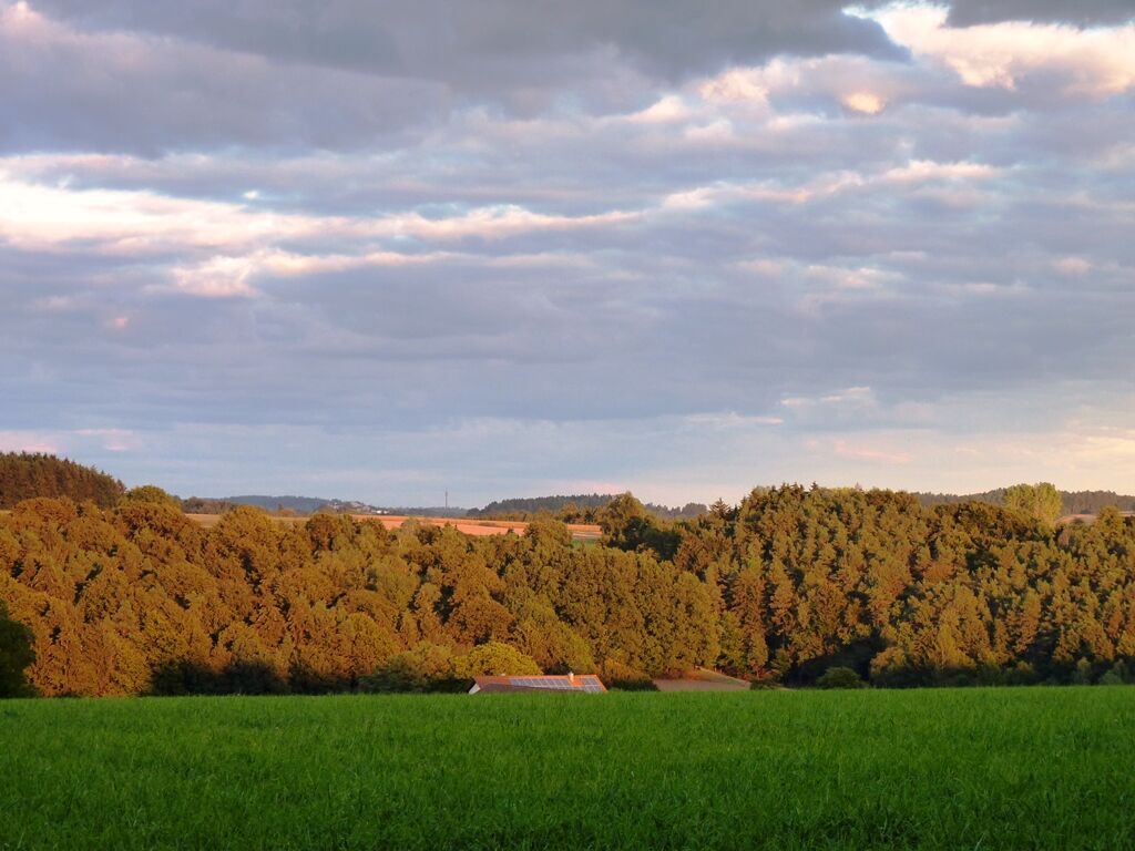
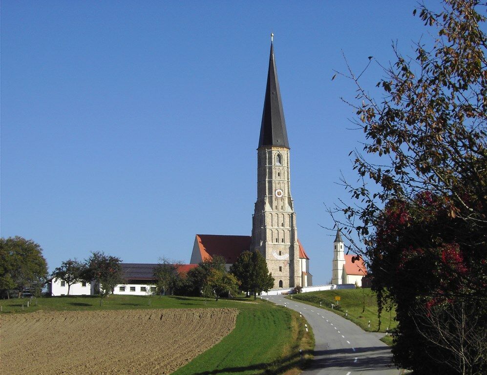
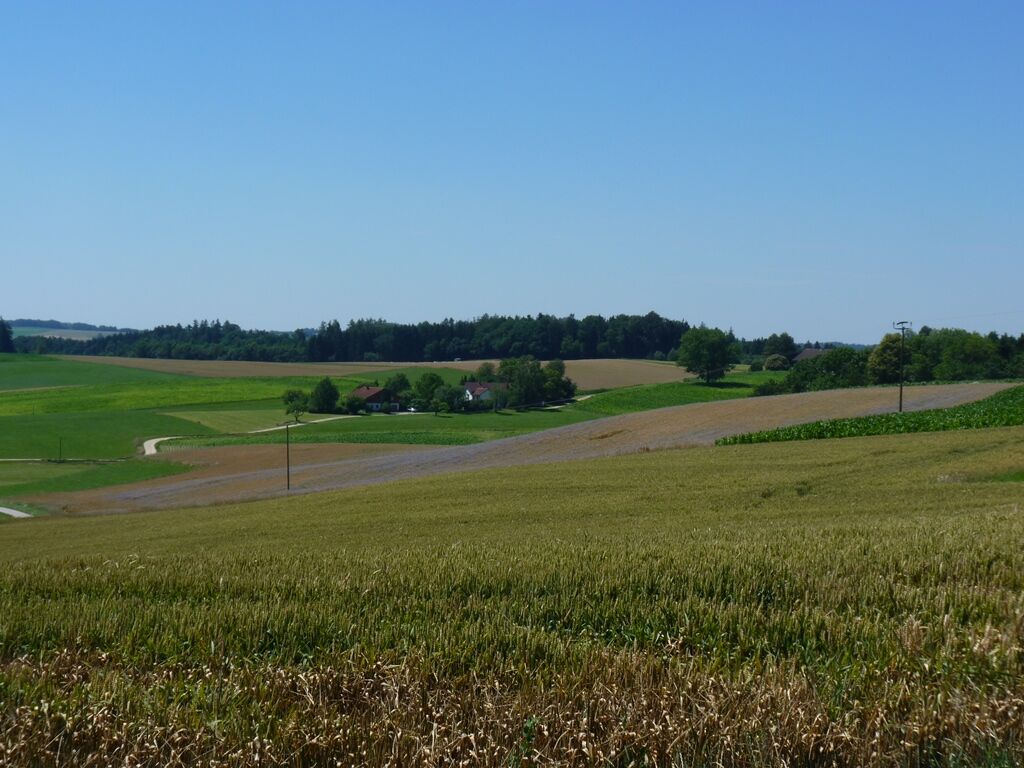
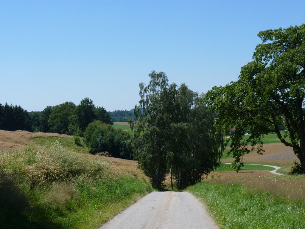
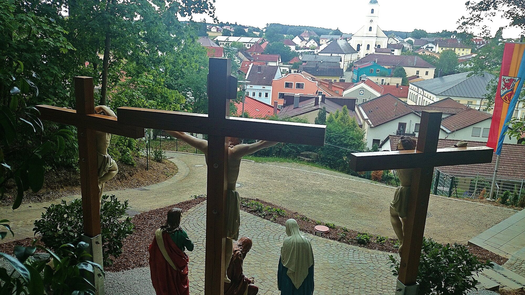
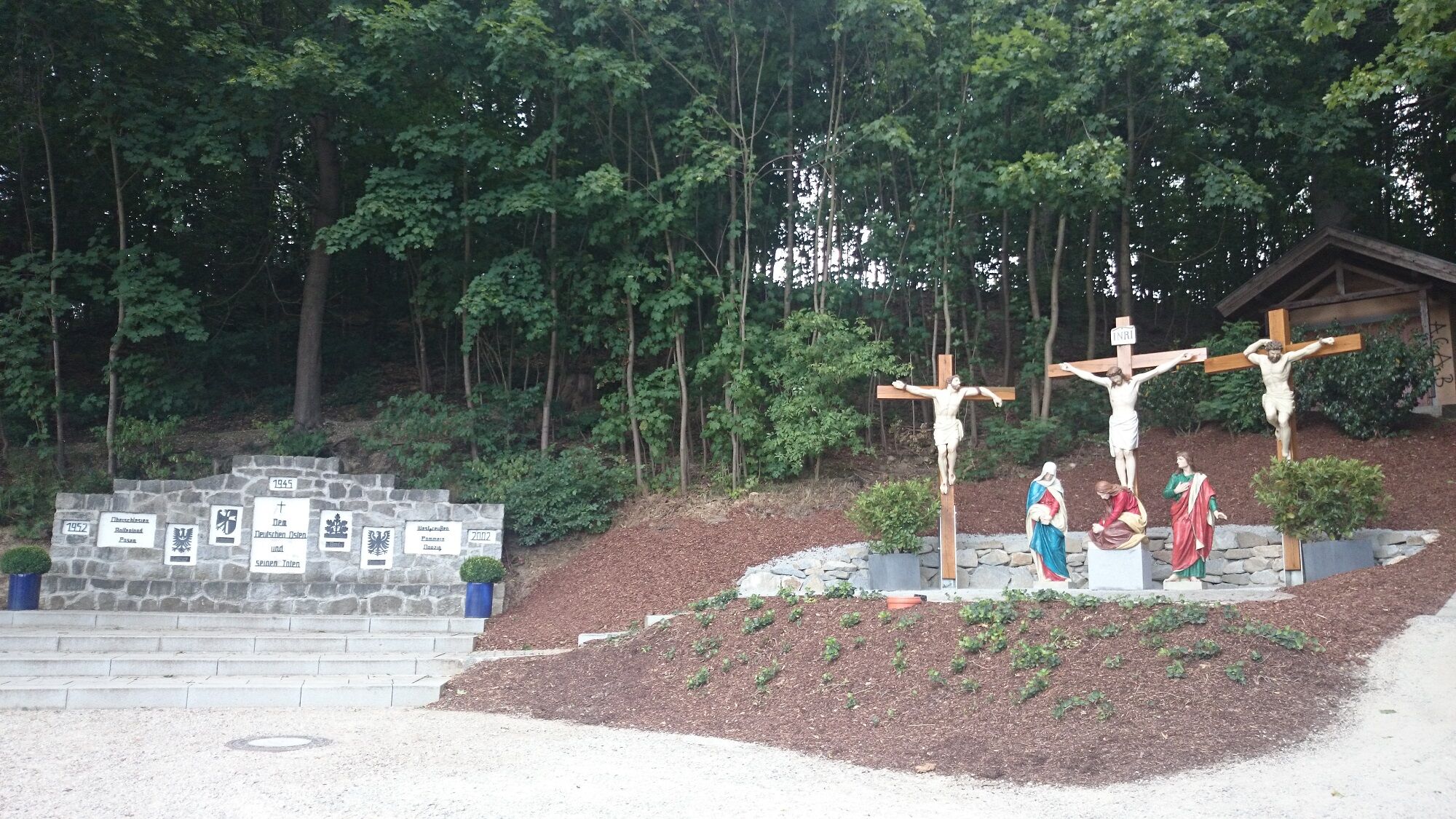
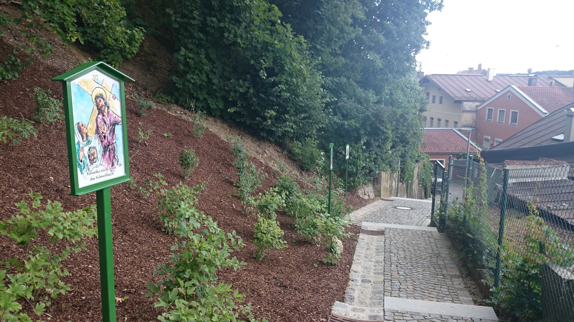
Einiges gibt es zu erkunden auf dem Weg durch die sanfte Hügellandschaft bei Tann. Der schöne Marktplatz in Tann und der interessante Naturlehrpfad am Weg sind hervorzuheben.
- Difficoltà
-
intermedio
- Valutazione
-
- Percorso
-
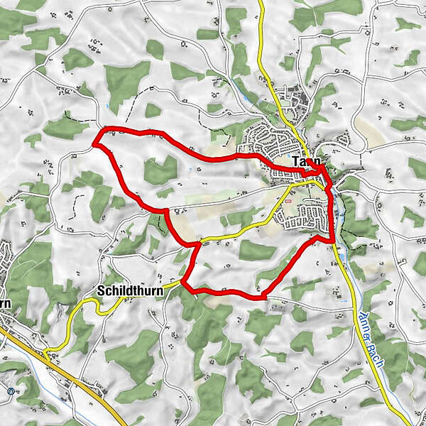
Tann0,0 kmSchmiding4,4 kmBildsberg6,0 kmHochwimm7,0 kmThannenthal7,1 kmDenharten7,6 kmSt. Petrus und Paulus8,6 kmTann9,0 km
- La stagione migliore
-
genfebmaraprmaggiulugagosetottnovdic
- Punto più alto
- 505 m
- Destinazione
-
Rundtour - Start und Zielpunkt am Busparkplatz an der Eggenfeldenerstr. in Tann
- Profilo altimetrico
-
 © outdooractive.com
- Autore
-
Il tour Tann Westlicher Höhenweg Wanderweg A è utilizzato da outdooractive.com fornito.
GPS Downloads


Info generali
Punto di ristoro
Culturale/Storico
Flora
Promettente
Altri tour nelle regioni