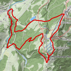
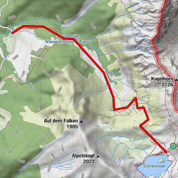
Dati percorsi
3,81km
942
- 1.826m
884hm
884hm
04:30h
- Difficoltà
-
difficile
- Valutazione
-
- Punto di partenza
-
Hinterstein - Parkplatz auf der Höh von dort mit dem Giebelhaus Bus ins Hintersteiner Tal
- La stagione migliore
-
genfebmaraprmaggiulugagosetottnovdic
- Punto più alto
- 1.826 m
- Riposo/Ritiro
-
keine Einkehrmöglichkeit,
Willersalpe (bei Variante Kugelhorn - Willersalpe - Cartine
-
Direkt in der Gästeinformation Bad Hindelang
GPS Downloads


Condizioni dei sentieri
Asfalto
Ghiaia
Prato
Foresta
Roccia
Esposta
Altri tour nelle regioni
-
Allgäu
2365
-
Tannheimer Tal
1454
-
Schattwald - Zöblen
501