© Bad Hindelang Tourismus
© Bad Hindelang Tourismus
© Bad Hindelang Tourismus
Dati percorsi
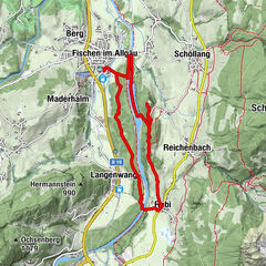
8,28km
814
- 1.468m
613hm
629hm
03:30h
- Difficoltà
-
intermedio
- Valutazione
-
- Punto di partenza
-
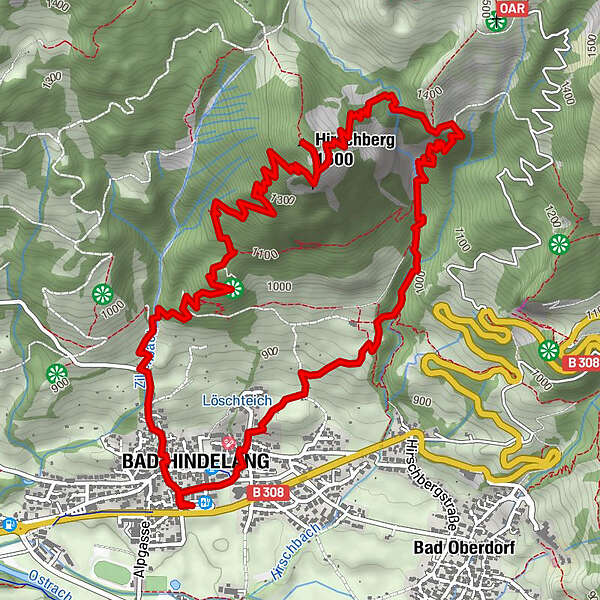
Bad Hindelang, Parkplatz an der Gästeinformation
- Percorso
-
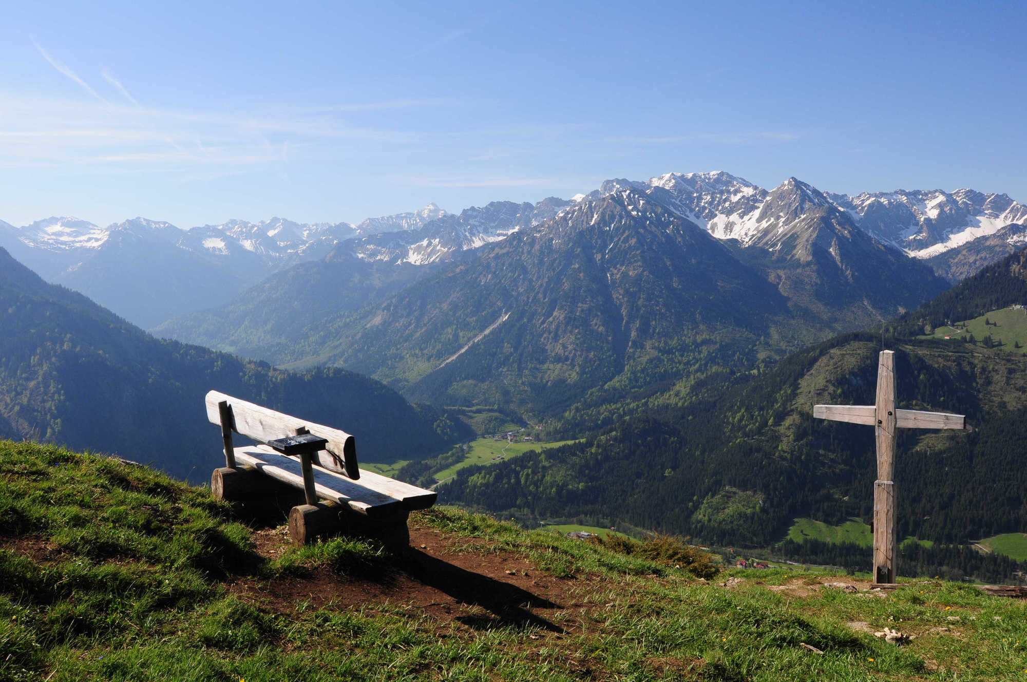
Bad Hindelang (825 m)0,2 kmKalvarienkapelle0,7 kmHirschberg (1.500 m)4,4 kmAussichtspunkt Hirschberg4,6 kmSteinköpfle (1.077 m)6,3 km
- La stagione migliore
-
genfebmaraprmaggiulugagosetottnovdic
- Punto più alto
- 1.468 m
- Riposo/Ritiro
-
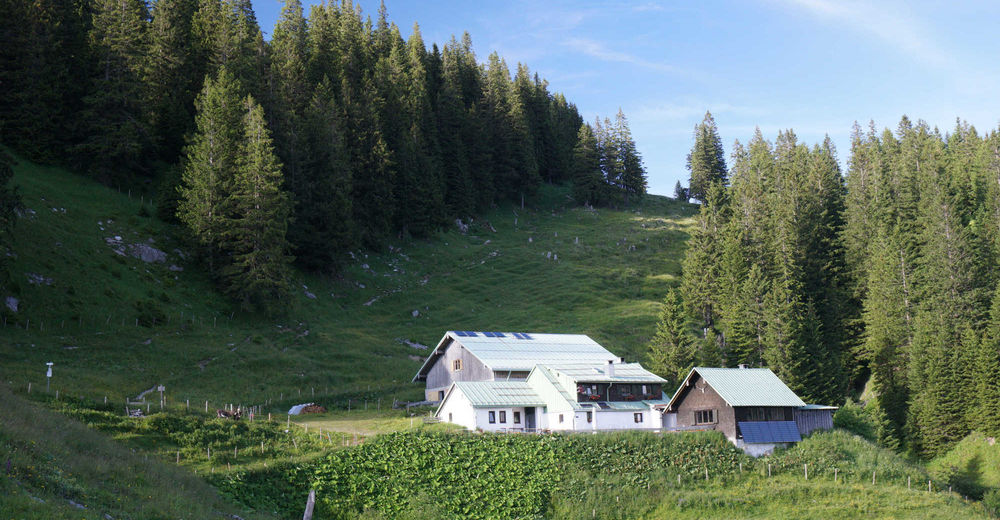
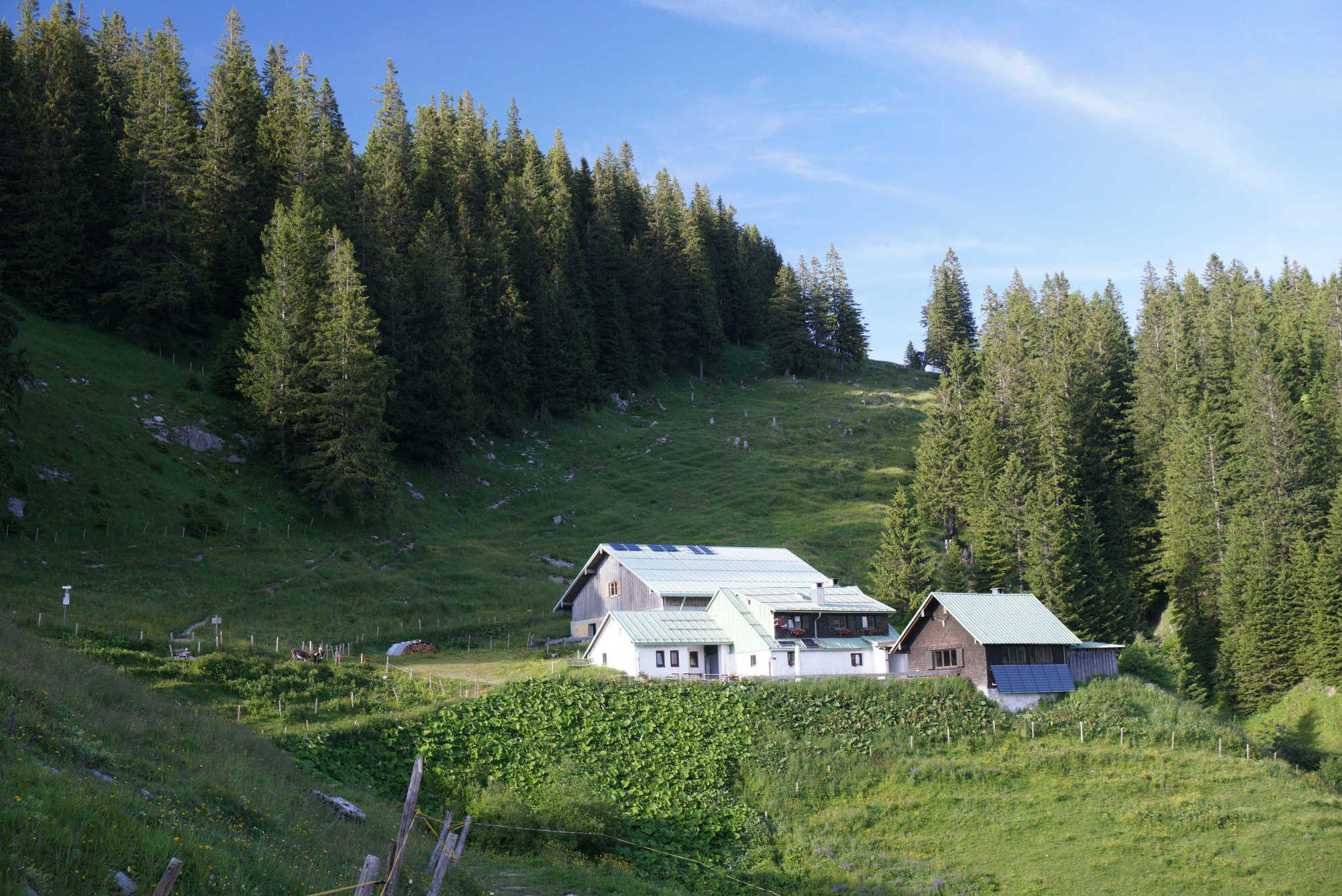
Hirschalpe, Café-Bergrestaurant Polite
- Cartine
-
Direkt in der Gästeinformation Bad Hindelang
GPS Downloads


Condizioni dei sentieri
Asfalto
Ghiaia
Prato
Foresta
Roccia
Esposta
Altri tour nelle regioni
-
Allgäu
2365
-
Alpsee-Grünten
1691
-
Bad Hindelang
413