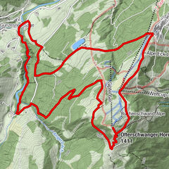
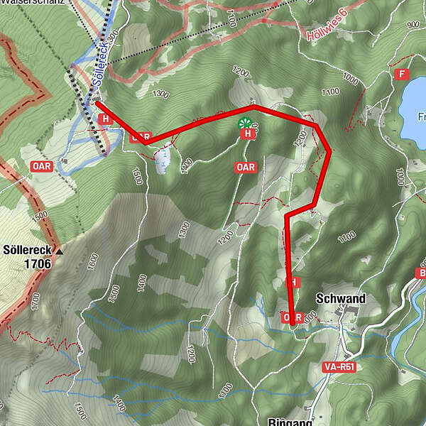
Naturerlebnisweg Söllereck

Logo Naturerlebnisweg Söllereck
Dati percorsi
2,86km
1.017 - 1.404m
Distanz
52hm
L'ascesa
00:42h
 
Durata
Valutazione
Tecnica
Forma fisica
Panorama
Avventura / Esperienza
Punto di partenza

SöllereckBahn Bergstation

Percorso
Berghaus Schönblick
Berghaus am Söller
0,1 km
Berggasthof Hochleite
1,9 km


Punto più alto
1.404 m

Riposo/Ritiro

Berghaus Schönblick - Berggasthof Hochleite - Beslers Schwand - Gasthof Schwand

Cartine

Valutazione complessiva

5

0

%

4

0

%

3

0

%

2

0

%

1

0

%

Errore
Si è verificato un errore. Si prega di riprovare.
Grazie per la vostra recensione

La valutazione è stata cancellata

GPS Downloads
  • GPX GPS Exchange Format (XML)
  • KML Google Earth, Google Maps
Codici di download QR per telefoni cellulari

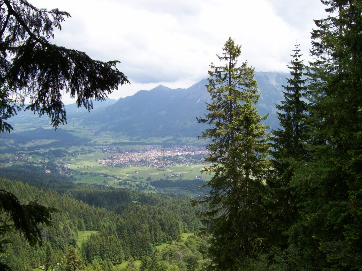
Condizioni dei sentieri

Asfalto
Ghiaia
Prato
Foresta
Roccia
Esposta
Altri tour nelle regioni

Tour popolari della zona

Von Gunzesried übers Ostertaltobel aufs Ofterschwanger Horn

intermedio Escursionismo
10,94km | 428hm | 03:40h

Hochvogel 2592 m

difficile Escursionismo
18,04km | 1567hm | 09:00h

Braunarlspitze

difficile Escursionismo
16,57km | 1430hm | 08:00h

2-Länder-Panorama-Rundwanderweg Fellhorn/Kanzelwand

Escursionismo
6,3km | 354hm | 02:00h