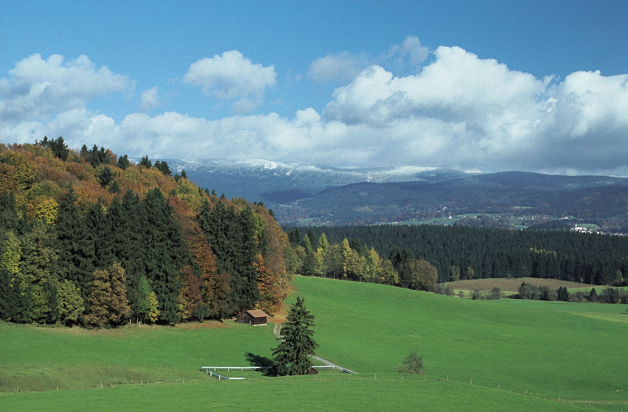
© Wellness & Naturresort Reischlhof ****S - Wellnesshotel Reischlhof

© Wellness & Naturresort Reischlhof ****S - Wellnesshotel Reischlhof

© Wellness & Naturresort Reischlhof ****S - Wellnesshotel Reischlhof

© Wellness & Naturresort Reischlhof ****S - Wellnesshotel Reischlhof

- Descrizione rapida
-
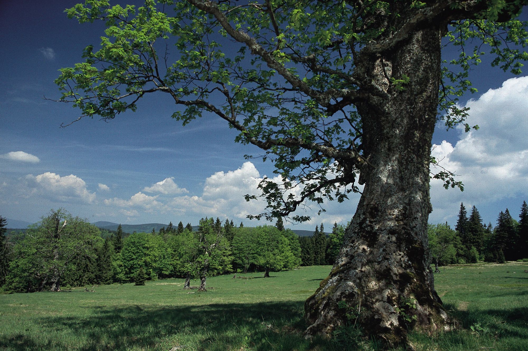
Lindendenkmal
(siehe Teilstrecke Wanderkarte „Wegscheider Land“- Jagaweg
Wanderweg 8,0 km - Wanderzeit: ca. 2 Stunden
Dieser Weg ist im Winter zum Teil gewalzt
- Difficoltà
-
intermedio
- Valutazione
-
- Percorso
-
Kleinrathberg2,3 kmKarlhäuser4,0 kmPufferwies6,5 km
- La stagione migliore
-
genfebmaraprmaggiulugagosetottnovdic
- Punto più alto
- 882 m
- Destinazione
-
Natur- und Wellnesshotel Reischlhof
- Profilo altimetrico
-
 © outdooractive.com
-

-
AutoreIl tour Reischlhof - Zum Lindendenkmal è utilizzato da outdooractive.com fornito.
GPS Downloads


Info generali
Suggerimento
Promettente
Altri tour nelle regioni
-
Ferienregion Böhmerwald
479
-
Sonnen
121