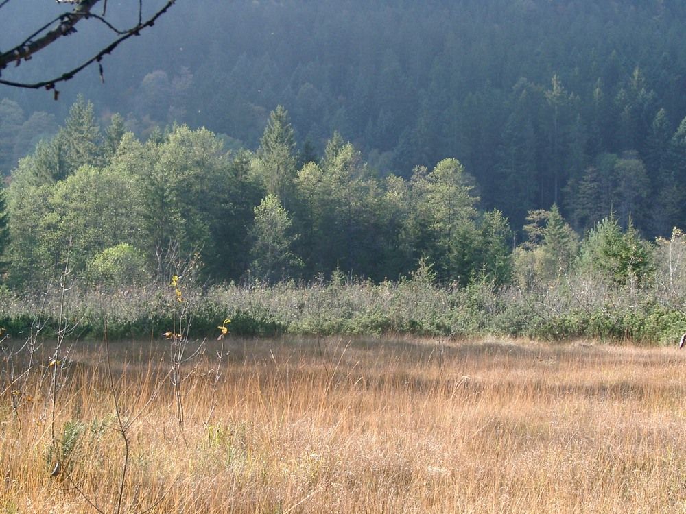
Watzmannspiegelung am Böcklweiher

Logo Watzmannspiegelung am Böcklweiher
Dati percorsi
0,4km
610 - 618m
Distanz
12hm
L'ascesa
02:00h
 
Durata
Valutazione
Tecnica
Forma fisica
Panorama
Avventura / Esperienza
Punto di partenza

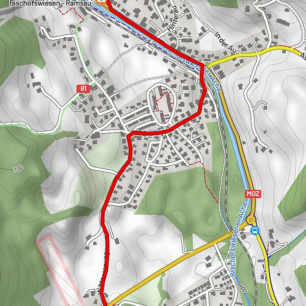
Dorfbrunnen Bischofswiesen

Percorso
Bischofswiesen (615 m)
Bruschetta
0,1 km


Punto più alto
618 m

Riposo/Ritiro

Brenner Bräu, Bachhäusl

Cartine

Telefono informazioni

08652/97722-0

Link

Valutazione complessiva

5

0

%

4

0

%

3

0

%

2

0

%

1

0

%

Errore
Si è verificato un errore. Si prega di riprovare.
Grazie per la vostra recensione

La valutazione è stata cancellata

GPS Downloads
  • GPX GPS Exchange Format (XML)
  • KML Google Earth, Google Maps
Codici di download QR per telefoni cellulari

Condizioni dei sentieri

Asfalto
Ghiaia
Prato
Foresta
Roccia
Esposta
Altri tour nelle regioni

Tour popolari della zona

Untersberg ab Marktschellenberg zum Salzburger Hochthron

intermedio Escursionismo
10km | 1389hm | 04:30h

Staufen-Bergtour

intermedio Escursionismo
14,07km | 1214hm | 05:30h

From Kaltenhausen to the Großer Barmstein (10 points)

difficile Escursionismo
4,26km | 400hm | 02:00h

Wanderung zum Kleinen Barmstein über die Ruine Thürndl

difficile Escursionismo
4,2km | 291hm | 01:40h