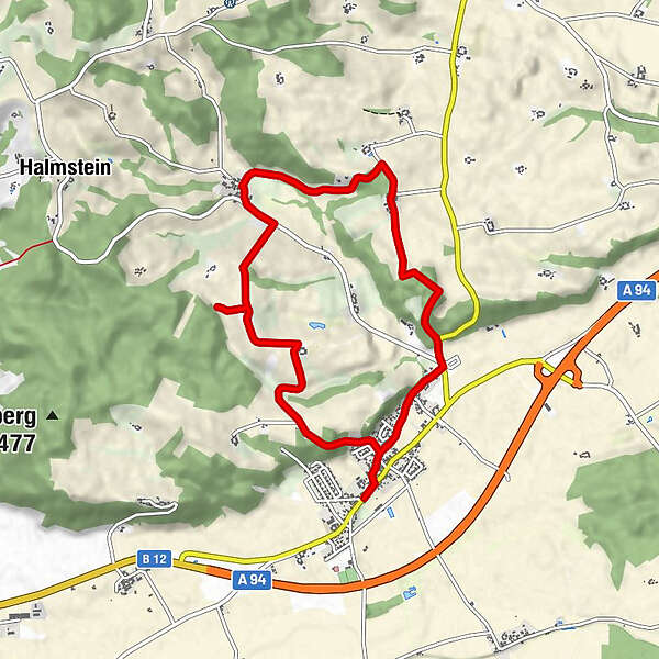
Malching Tour 27 - Bergauf, bergab durch das Malchinger Hügelland

Escursionismo
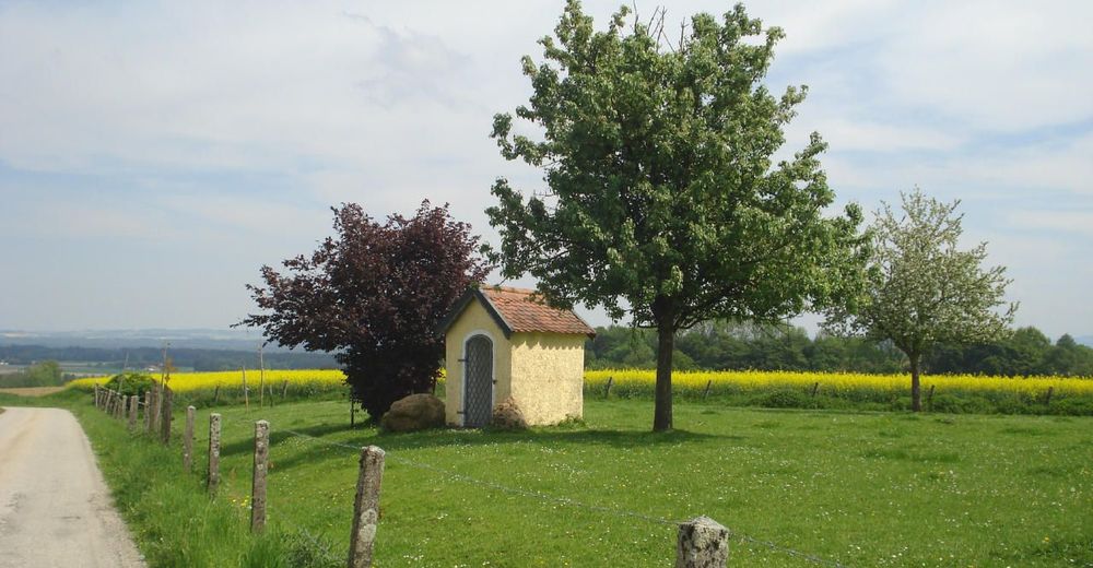
© Wandern zwischen Rott und Inn - Reinhard Fuchs
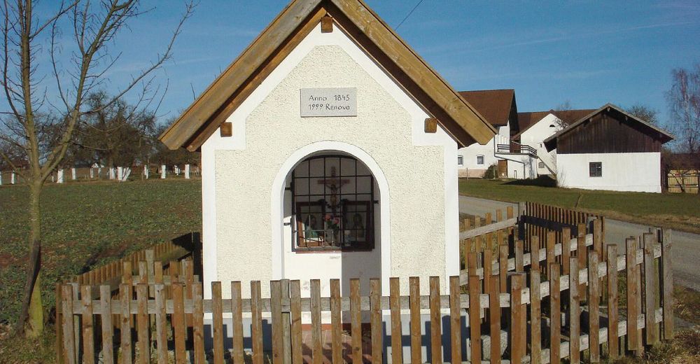
© Wandern zwischen Rott und Inn - Reinhard Fuchs
Dati percorsi
8,25km
344
- 435m
145hm
129hm
02:14h
- Difficoltà
-
intermedio
- Valutazione
-
- Percorso
-
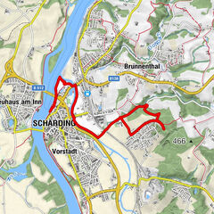
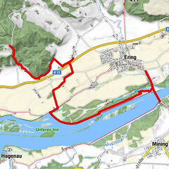
Malching0,0 kmSt. Ägidius0,0 kmLindach1,9 kmForstberg2,4 kmJetzenau4,1 kmHochleithen5,0 kmEnzing5,5 kmOberhof5,7 kmNündorf7,5 kmWeinberg7,8 kmMalching8,2 km
- La stagione migliore
-
genfebmaraprmaggiulugagosetottnovdic
- Punto più alto
- 435 m
- Destinazione
-
Ortszentrum Malching
- Profilo altimetrico
-
 © outdooractive.com


- Autore
-
Il tour Malching Tour 27 - Bergauf, bergab durch das Malchinger Hügelland è utilizzato da outdooractive.com fornito.
GPS Downloads


Info generali
Culturale/Storico
Altri tour nelle regioni
-
Innviertel
797
-
s'Entdeckerviertel
301
-
Mining am Inn
51