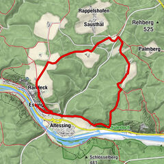
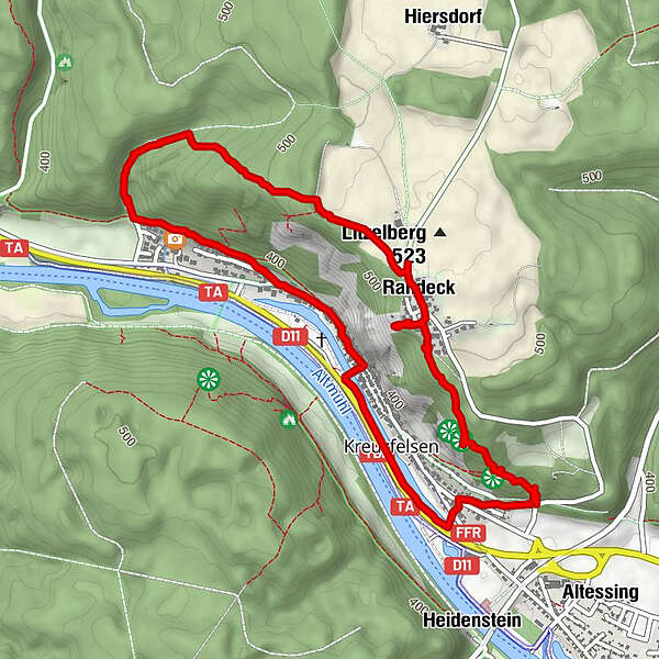
Dati percorsi
5,66km
340
- 525m
181hm
193hm
01:32h
- Descrizione rapida
-
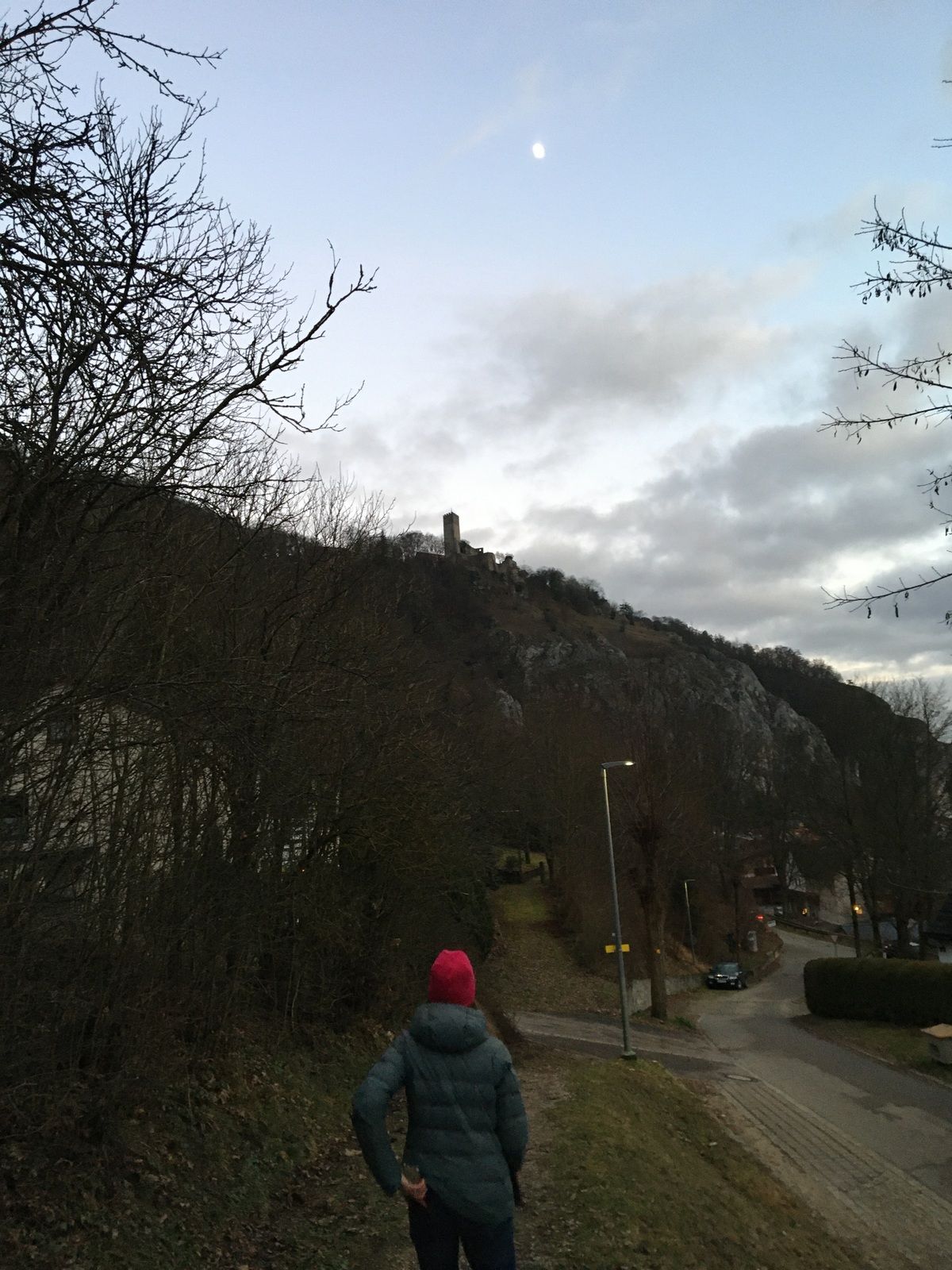
Relatively simple hike but nice views and mostly path (and not road)
- Difficoltà
-
facile
- Valutazione
-
- Percorso
-
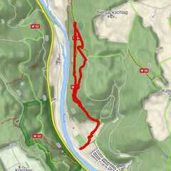
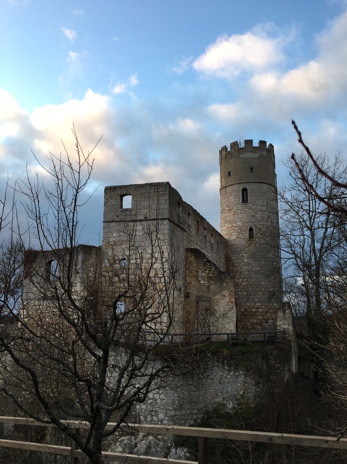
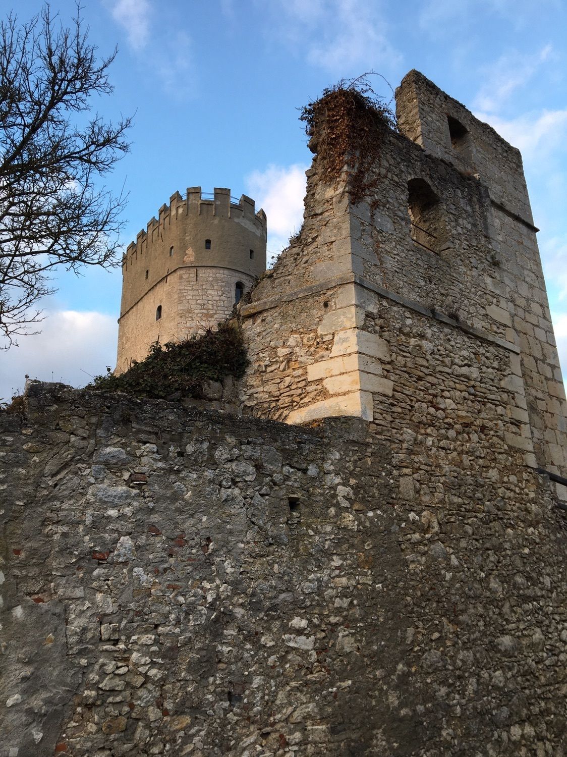
AltessingAbrahamsplatz0,4 kmEssing0,6 kmKreuzfelsen0,6 kmRitterschänke Burg Randeck1,1 kmRandeck1,5 kmBlautopf3,5 kmBrauereigasthof Schneider4,6 kmEssing4,8 kmAltessing5,6 km
- Punto più alto
- 525 m


GPS Downloads


Altri tour nelle regioni
-
Landkreis Kelheim
202
-
Essing
113