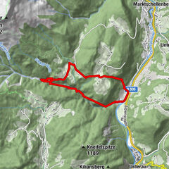
Dati percorsi
7,89km
352
- 1.840m
1.488hm
06:00h

- Valutazione
-
- Punto di partenza
-
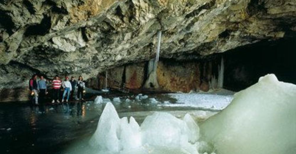
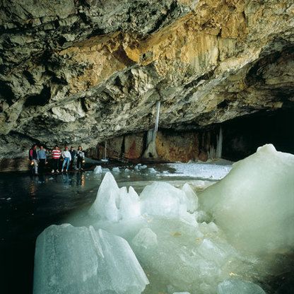
Parkplatz Schellenberger Eishöhle
- Percorso
-
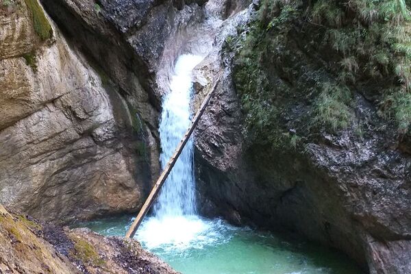
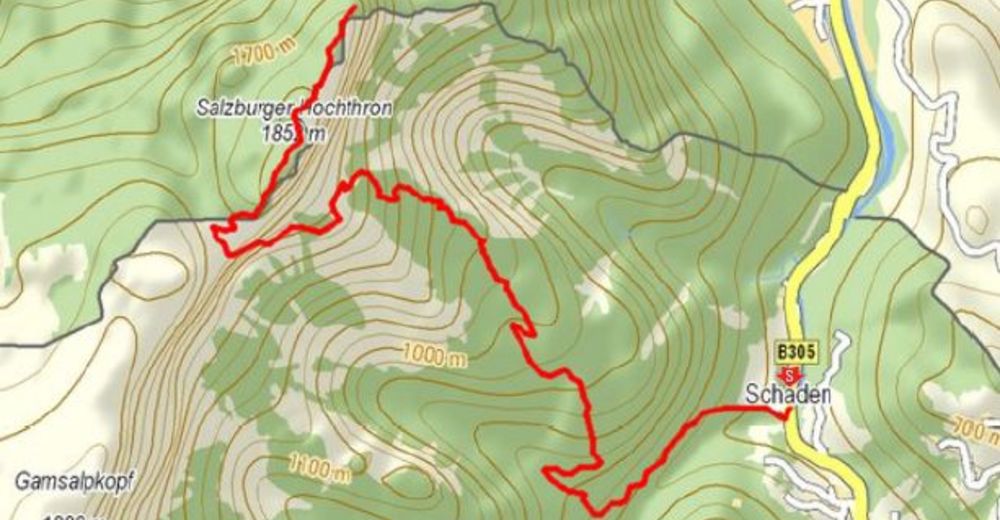
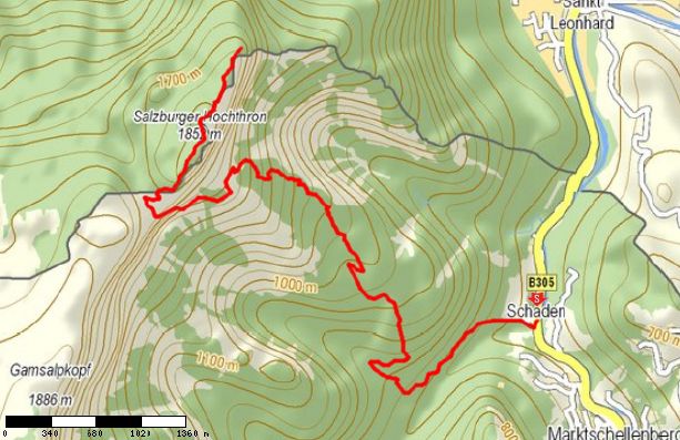
Denkmal4,3 kmToni-Lenz-Hütte5,0 kmMittagsscharte (1.670 m)6,1 kmGroßer Heubergkopf (1.820 m)6,7 kmSalzburger Hochthron (1.853 m)7,1 kmHochalm7,7 kmGeiereck (1.805 m)7,8 kmRestaurant Seilbahnstation7,8 km
- Punto più alto
- 1.840 m
GPS Downloads


Condizioni dei sentieri
Asfalto
(10%)
Ghiaia
(70%)
Prato
Foresta
(10%)
Roccia
(10%)
Esposta
Altri tour nelle regioni
-
Berchtesgadener Land
1580
-
Marktschellenberg
602